오버슈로트에서 가장 멋진 7개의 협곡
오버슈로트에 있는 멋진 협곡 7
개를 소개해드릴게요. 아래에서 멋진 협곡을 살펴보고, 다음 오버슈로트 모험에 도움이 될 만한 사진, 팁, 추가 정보를 알아보세요.
마지막 업데이트: 11월 11, 2026
고테롱 계곡 목조 다리
하이라이트 • 다리
번역자 Google •
팁에 의해

Breccaschlund
하이라이트 • 협곡
번역자 Google •
팁에 의해

이런 장소를 발견하려면 지금 가입하세요
최고의 싱글 트랙, 봉우리 및 다양한 흥미로운 야외 장소에 대한 추천을 받아보세요.
Hohlweg Weissenbach–St. Antoni (Via Jacobi)
하이라이트 • 트레일
번역자 Google •
팁에 의해


오늘 무료 계정으로 시작하세요
다음 모험이 기다리고 있어요.
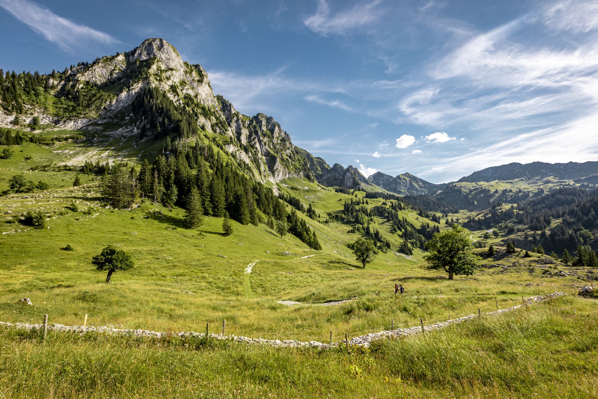

커뮤니티 팁

A varied route here. Not for delicate road bike tires.
0
0

The Galterntal with its Galtern Gorge is a real leisure and natural paradise. Along the gorge, countless bridges, arches, footbridges and walkways line the steep walls. Joggers and hikers alike are out and about here. For dogs, the four-legged gorge walkers, the builders of the bridges have here and there made paw-friendly attachments so that the animals do not injure their paws on the partially metal perforated plates.
1
0

The Galternbach is a tributary of the Saane. It flows into the Saane at the Bern Bridge in Freiburg. Coming from the village of Galtern in the east, the stream flows westwards in wide curves and meanders through a long, wooded valley, which in places narrows like a gorge. Here, at a loop of the Galternbach, bridges lead over the stream. There is a nice rest area on a flat hill in the gorge!
2
0
The Galternbach is a tributary of the Saane. It flows into the Saane at the Bern Bridge in Freiburg. Coming from the village of Galtern in the east, the stream flows westwards in wide curves, meandering through a long, wooded valley that narrows in places like a gorge. At this curve, the wonderful hiking trail leads over a bridge and thus changes from one side of the stream to the other. On the left side of the stream (east of the bridge), the trail leads down/up the steep valley slope in bends, mostly with wooden steps; on the other (right) side (west of the bridge), the trail leads along the steep slope on a wooden footbridge, partly with steps. All in all, an exciting section of the Galtern trail!
2
0


You have to allow enough time for the >10 km between the Guggersbach bridge near Zumholz Plaffeien and the Sodbach in Heitenried, since the subsoil is of course not a hiking trail in the usual sense. The Sense has to be crossed dozens of times during the hike in the river bed, and this is only possible in wide places where the water is shallower and flows more slowly. Otherwise it tears your feet away on the sometimes slippery stones in the water. For a hike in the river bed, it must neither rain nor have a thunderstorm warning in the mountains higher up. The scythe quickly swells into a raging mountain river. So always only into the riverbed when the weather is nice and stable in the Schwarzsee and Gantrisch areas.
6
0

Impressive road layout, path is cut into the rock
0
0
오버슈로트 주변에서 가장 인기 있는 명소


더 살펴보기
이 지역에서 모든 것을 발견하셨나요? 다음 모험을 위해 오버슈로트 주변의 추가 협곡을 확인해보세요:
