고마링겐에서 가장 멋진 15개의 협곡
고마링겐에 있는 멋진 협곡 15
개를 소개해드릴게요. 아래에서 멋진 협곡을 살펴보고, 다음 고마링겐 모험에 도움이 될 만한 사진, 팁, 추가 정보를 알아보세요.
마지막 업데이트: 10월 14, 2026

히르슈코프의 산사태(뫼싱겐 산사태)
하이라이트 • 자연 기념물
번역자 Google •
팁에 의해

이런 장소를 발견하려면 지금 가입하세요
최고의 싱글 트랙, 봉우리 및 다양한 흥미로운 야외 장소에 대한 추천을 받아보세요.

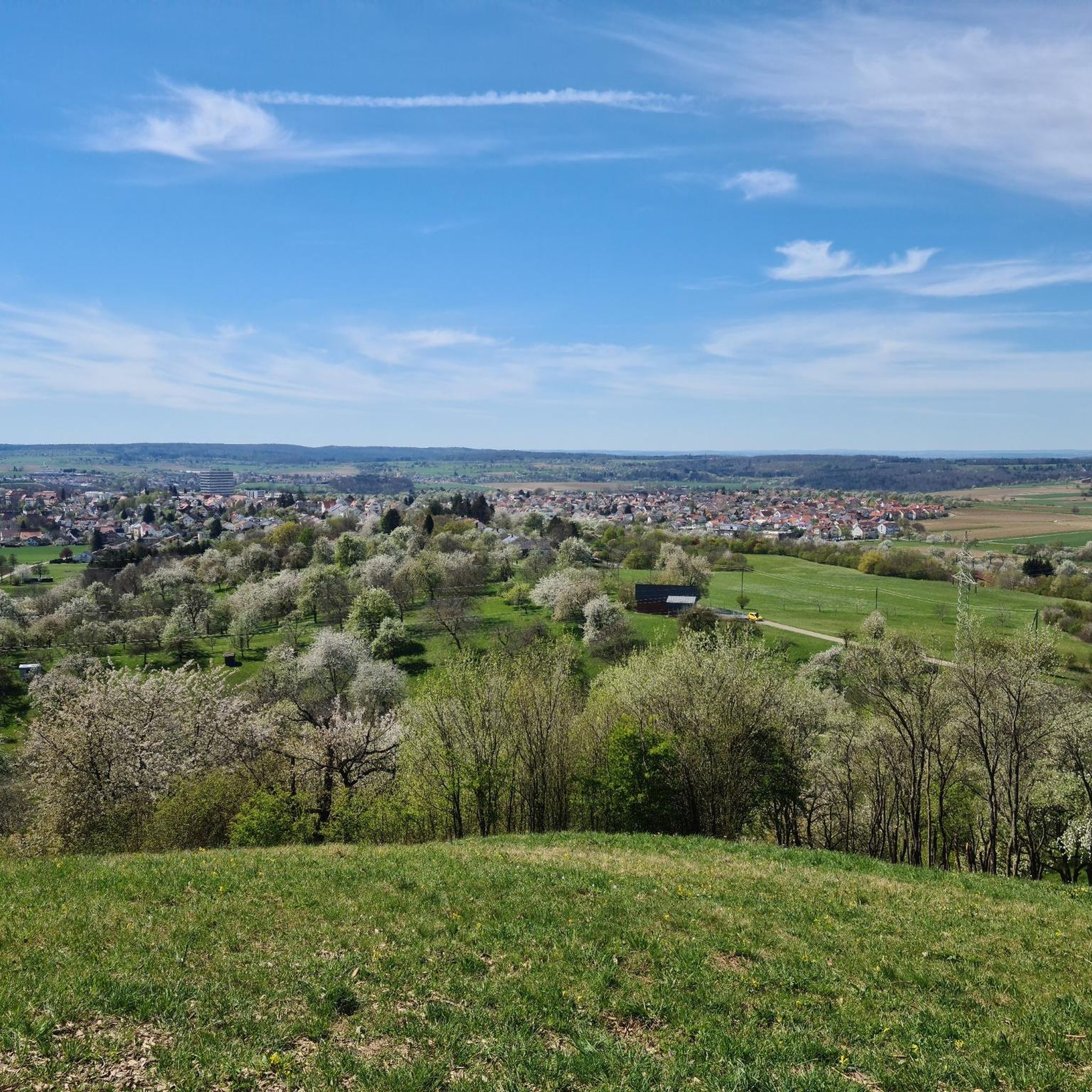
뫼싱겐 산사태 전망
하이라이트 • 전망대
번역자 Google •
팁에 의해

Naturpark Schönbuch의 Kirnbachtal
하이라이트 (구간) • 트레일
번역자 Google •
팁에 의해

무료로 가입하여 고마링겐 주변의 더 많은 협곡을 발견하세요.
이미 komoot 계정이 있나요?
오늘 무료 계정으로 시작하세요
다음 모험이 기다리고 있어요.
커뮤니티 팁

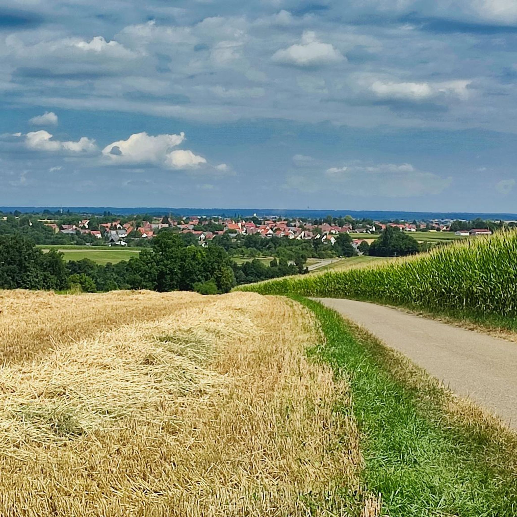
Ehrenbach 강에 계속 가까워지는, 목가적인 곳에 위치한 계곡을 통과하는 아름다운 하이킹 및 자전거 도로.
4
0

Opposite the biotope there is a large barbecue area where even dry firewood is available under the roof.
9
0
The bike path in Goldersbachtal is the main street and therefore the most frequented route in Schönbuch
8
0


On April 12, 1983, after days of rain on the Hirschkopf, approx. 3 km south-southeast of Mössingen, there was a huge landslide (Berggrutsch Mössingen): Over a length of around 500 m, the layered package of the well-layered limestone formation (formerly White Jura beta) slid on the damp and the unstable subsoil of the Impressamergel formation (formerly White Jura alpha) and the middle Jura layers in the lying area. A rock wall made of limestone over marl stone was exposed, which is now increasingly being covered from the base by rubble. Moist biotopes formed behind the landslides at the base of the slope. The mountain slide on the Hirschkopf has been designated as a nature reserve on 39 hectares since 1988. The undisturbed repopulation of the open scree and inaccessible rock faces is the main protection purpose from a biological point of view. For geologists and geographers, the research of the mass displacement and the gradual relocation of the night eaves is in the foreground. The landslide is one of Germany's national geotopes.
9
0

Even so many years later, the consequences can be seen and the proportions are still impressive.
8
0
That must have been a huge bang back then. Impressive.
7
0
The break-off edge still indicates a huge event.
9
0


더 살펴보기
이 지역에서 모든 것을 발견하셨나요? 다음 모험을 위해 고마링겐 주변의 추가 협곡을 확인해보세요:
