브레이딘에서 가장 멋진 6개의 협곡
브레이딘에 있는 멋진 협곡 6
개를 소개해드릴게요. 아래에서 멋진 협곡을 살펴보고, 다음 브레이딘 모험에 도움이 될 만한 사진, 팁, 추가 정보를 알아보세요.
마지막 업데이트: 8월 21, 2026
티펜제 협곡을 지나는 길
하이라이트 • 협곡
번역자 Google •
팁에 의해

함머탈 계곡과 토이펠스제
하이라이트 (구간) • 협곡
Challenging but beautiful area.
Sure-footedness is really important here.
번역자 Google •
팁에 의해

이런 장소를 발견하려면 지금 가입하세요
최고의 싱글 트랙, 봉우리 및 다양한 흥미로운 야외 장소에 대한 추천을 받아보세요.
무료 회원 가입
가멘그룬트 MTB 트레일
하이라이트 (구간) • MTB 공원
번역자 Google •
팁에 의해

가멘그룬트의 좁은 협곡
하이라이트 • 협곡
번역자 Google •
팁에 의해

암피비엔하우스 협곡 트레일
하이라이트 (구간) • 트레일
번역자 Google •
팁에 의해

무료로 가입하여 브레이딘 주변의 더 많은 협곡을 발견하세요.
무료 회원 가입
이미 komoot 계정이 있나요?
오늘 무료 계정으로 시작하세요
다음 모험이 기다리고 있어요.
로그인 또는 가입하기
커뮤니티 팁

For runners, there are plenty of trails, slippery, wet and muddy sections, cobblestones, old roads and railway tracks and of course lots of branches and stones under the leaves. Challenging but beautiful area. Sure-footedness is really important here. It is usually cooler here due to the boggy climate and therefore quite refreshing, especially in summer.
4
0
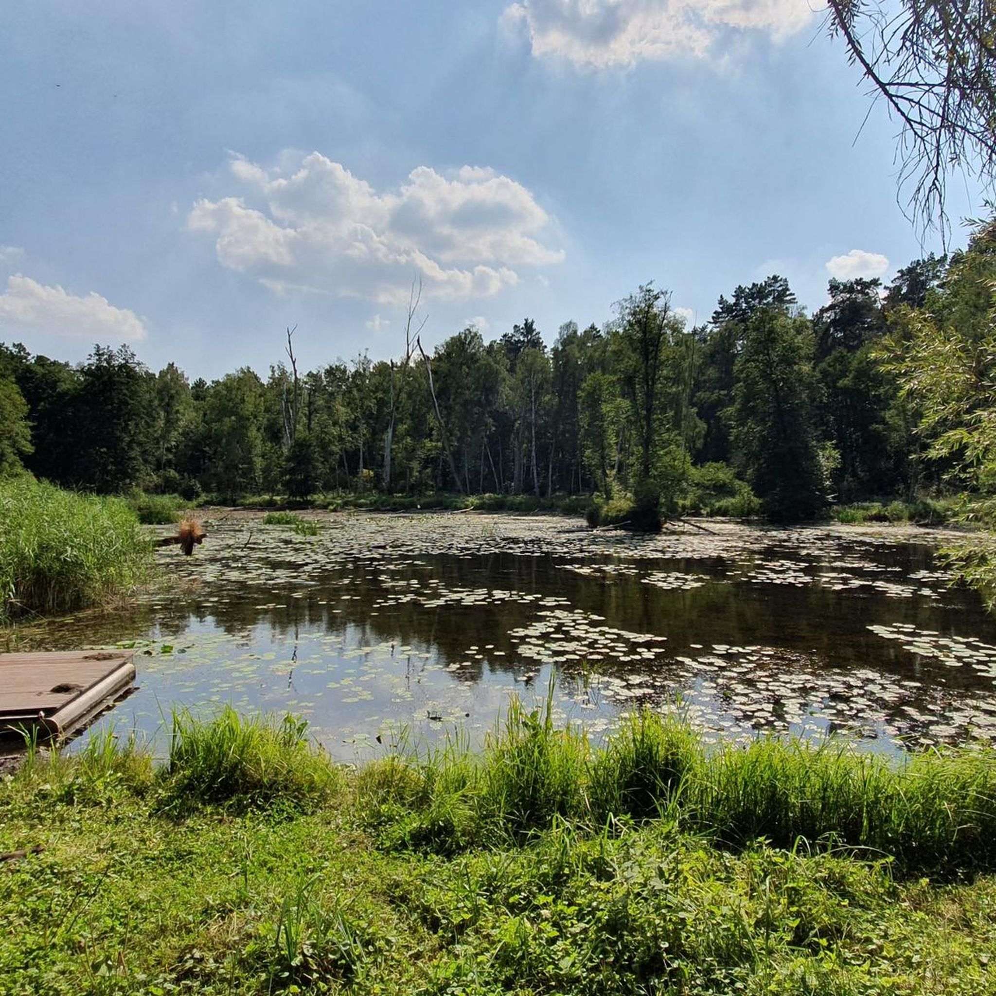
Numerous springs feed the Hammerfließ and keep the Hammerthal moist and boggy. A mill was already here in 1375 and was powered by the power of the river. The whole valley is perfect for hiking, running or cycling. In the middle of it all, you can discover ancient trees, beaver dams, moors and lost places. Numerous hiking trails cross the valley and at the upper, western end is the idyllic Teufelssee. The name Hammerthal comes from an old forge with a blast furnace and "iron hammer" that stood below the Oberkietzmühle in 1719. Here, ore bars and blanks were hammered for the processing industry in Eberswalde.
5
0

There is a lot to discover at Tiefensee
2
0


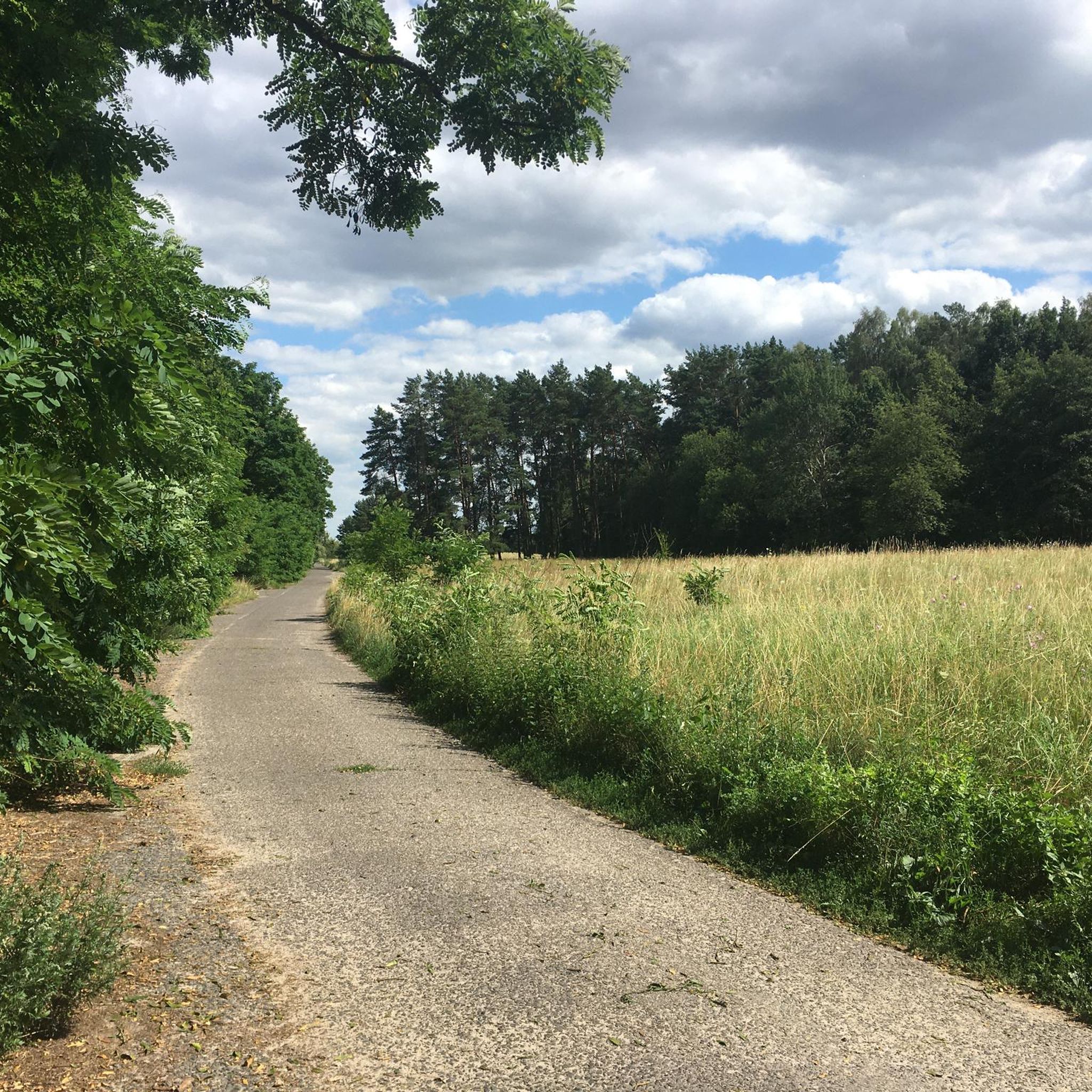
One of the most beautiful trails in the area. Gravel/CX/MTB needed. Some fallen trees so you will need to carry the bike and walk couple of times. Narrow path in some points. Take care of mosquitos in summer... and I have found 2 times a naked guy in bike in this area... Berlin is different!
0
0

The Gamengrund is a prominent, 300 to 400 meter wide glacial channel that cuts through the Barnim's ground moraine surface. It begins south of Eberswalde and runs to Hirschfelde. Due to its very strong form, it is an important geotope for Brandenburg and has been designated as a landscape protection area. The Gamengrund emerged from a tunnel valley in which meltwater from the overlying ice sheet made its way under the ice. With the collapse of the ice sheet, blocks of dead ice collected in the channel and created depressions in which today's lakes were formed. (Wikipedia) https://de.wikipedia.org/wiki/Gamengrund
1
0

If you run the 66SW you will pass here. The Gamengrund is a reason why you hike here.
0
0

The terrain is well cut, which is really great. At any time of the year, it's just fantastic. Sturdy shoes recommended, paths can be muddy and not cleared
2
0


