한바일러에서 가장 멋진 3개의 산 정상
Hahnweiler 주변의 최고의 산봉우리들은 완만한 언덕과 울창한 숲으로 특징지어지는 지역에 위치해 있습니다. 이 지역에는 지질학적 관심사, 탁 트인 전망, 하이킹 기회를 제공하는 여러 높은 지점들이 있습니다. 이 풍경은 다양한 체력 수준에 적합한 잘 관리된 길과 자연 트레일의 조합을 제공합니다. Hahnweiler 근처의 이러한 자연적 특징들은 이곳을 야외 활동의 목적지로 만듭니다.
Hahnweiler 주변의 최고의 산봉우리
- 가장 인기 있는 산봉우리는 Weiselberg Summit and Steinerne Meer로, "Steinerne Meer" (돌 바다)로 알려진 독특한 지질학적 구조를 특징으로 하는 정상입니다. 이 자연 기념물은 Weiselberg에서 풍화된 물질로…
마지막 업데이트: 9월 16, 2026
바이젤베르크 정상과 슈타이네르네 메어
하이라이트 • 정상
From a geological point of view, the »Steinernes Meer« is a heap of scree made from weathered material from the Weiselberg. From a geological point of view, this …
번역자 Google •
팁에 의해

바이젤베르크 정상 투어의 시작과 끝
하이라이트 • 트레일
The approximately 16 km long Weiselberg summit tour in Oberkirchen leads through a varied hilly landscape around the Weiselberg (569m). Light-flooded beech forests allow spectacular views over and over …
번역자 Google •
팁에 의해
이런 장소를 발견하려면 지금 가입하세요
최고의 싱글 트랙, 봉우리 및 다양한 흥미로운 야외 장소에 대한 추천을 받아보세요.
바이젤베르크 정상 평원
하이라이트 • 정상
번역자 Google •
팁에 의해

트라우츠베르크에서의 전망
하이라이트 • 전망대
번역자 Google •
팁에 의해

오늘 무료 계정으로 시작하세요
다음 모험이 기다리고 있어요.

커뮤니티 팁

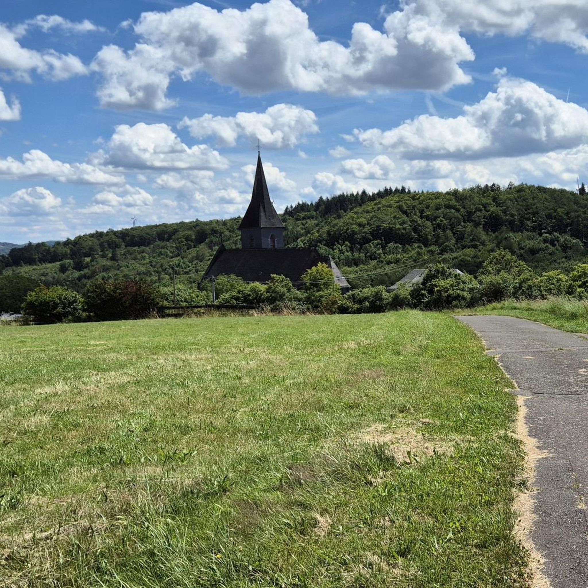
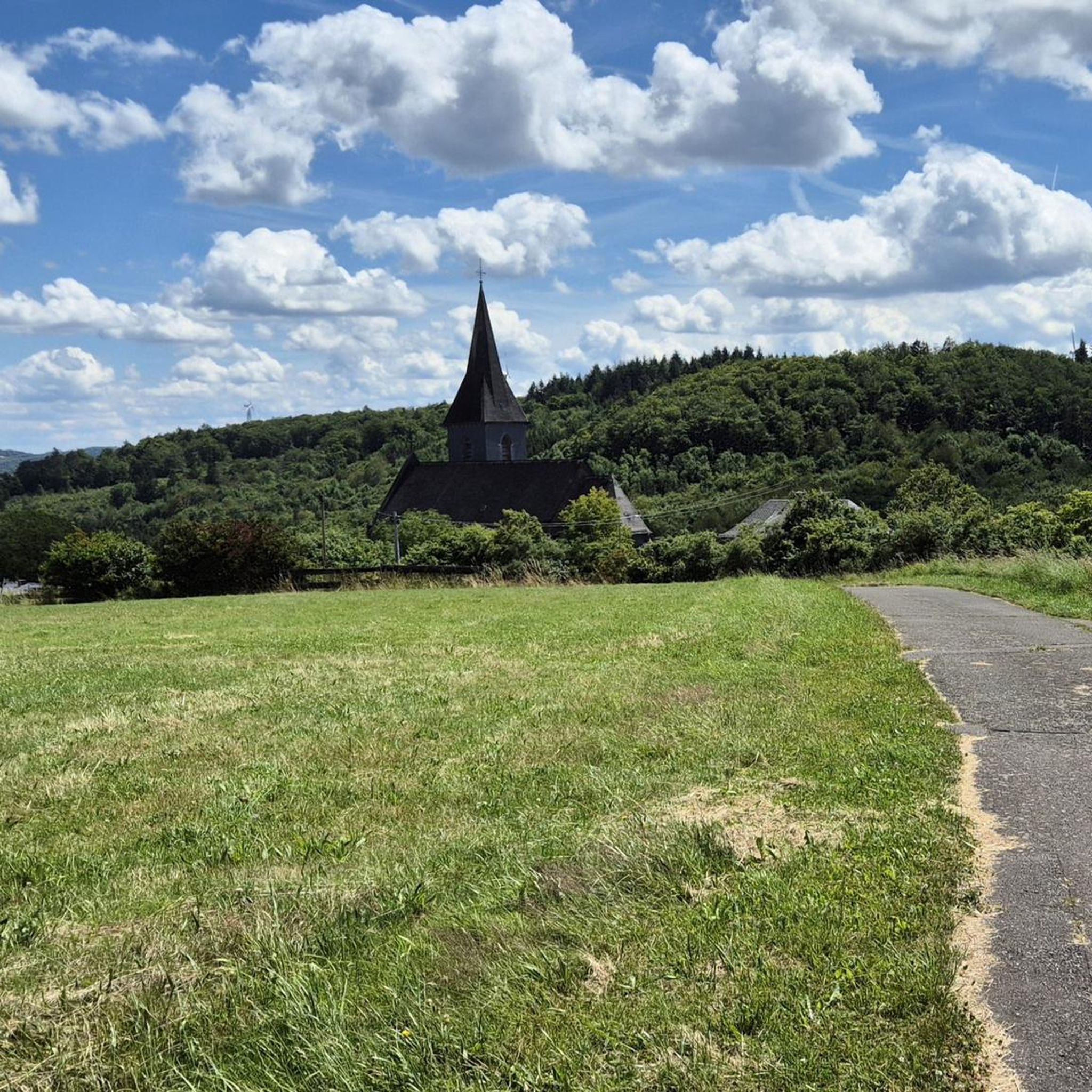
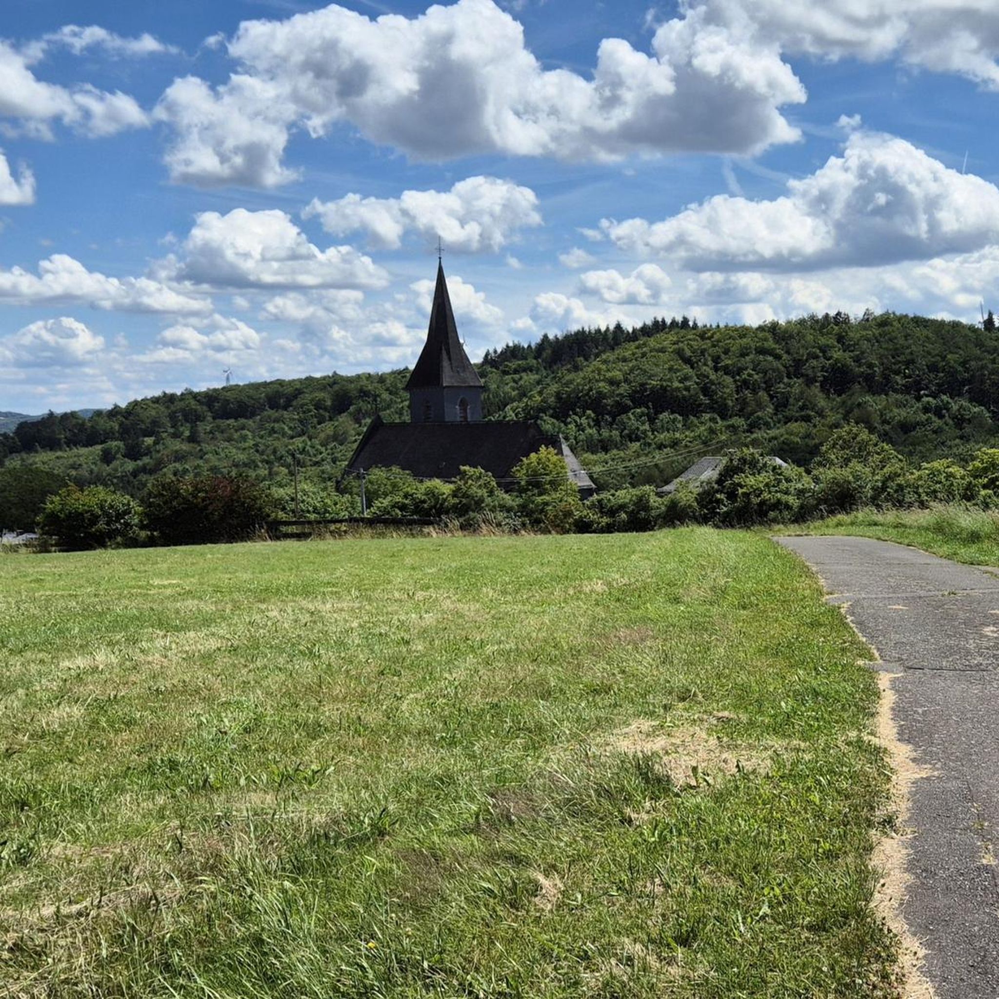
On the exposed rocks of the summit plateau stand a small stone pillar and the summit cross – along with a curved bench for a break with a view. Up here, you understand why the route is called a "summit tour": short rock steps, rough terrain, and a sweeping view over the hills surrounding Oberkirchen. On a clear day, the view extends as far as the heights of the Northern Palatinate. Tip: Sturdy shoes are essential – the rocky ridges can be slippery. Take your time to rest on the bench and then carefully follow the trail markers: several well-trodden paths lead away from the summit, which can be quite tempting.
0
0

Great view over Saar, Hunsrück and Palatinate.
0
0

Somewhat hidden away are some great trails here - otherwise nice view!
1
0

𝐒𝐭𝐞𝐢𝐧𝐞𝐫𝐧𝐞 𝐌𝐞𝐞𝐫 From a geological point of view, the »Steinernes Meer« is a heap of scree made from weathered material from the Weiselberg. From a geological point of view, this sea of rocks at the foot of the mountain is a work of the Ice Age. The last ice age only ended around 10,000 years ago. Magma rising underground got stuck under the earth's surface and solidified into mostly pentagonal column formations, quite typical of slowly cooling basalt rock. Over the course of millions of years, the surrounding softer sedimentary rock was removed by erosion. In geology, the very hard rock, which shines deep black when cut and is reminiscent of a starry sky with its bright feldspar particles, has been given the name »Weiselbergite«. The frost change climate during this geological epoch caused extreme weathering and erosion processes that were able to separate the blocks and columns weighing several tons from the rock structure. Not least because of the extreme daily temperature fluctuations, the steep southern slope of the Weiselberg with the typical vertical basalt columns offered the best conditions for the formation of the Felsenmeer. The boulders collected on the mountainside and have since been exposed to weathering. Covered with mosses, the »Steinernes Meer« repeatedly gave rise to eerie legends: Whether wild cyclopes played with it or the remains of an enchanted castle are left to the imagination of the observer. The Romans were already digging for agates on the surface of the Weiselberg. From the 15th century, when only little was to be found above ground and a veritable agate boom began, the agate seekers went deep. Some tunnels buried today bear witness to this. After the war there were concrete considerations to dismantle the Weiselberg as a quarry. This was prevented by the designation as a nature reserve in October 1950. In earlier times, the minerals of this region such as agate, chalcedony, jasper and petrified wood were processed in the gemstone metropolis of Idar-Oberstein. 3000 of these precious stones can be viewed in the Mineralogical Museum in the old school in Oberkirchen (0 68 55/332) and in the Mineral Museum (2000 exhibits) in Freisen (0 68 55/13 25). In the Gemstone Dorado in Freisen, treasure hunters can search for gemstones themselves. (0 68 55/1849 31) Source: Text information board
7
0
𝐊𝐮𝐫𝐳𝐛𝐞𝐬𝐜𝐡𝐫𝐞𝐢𝐛𝐮𝐧𝐠 The approximately 16 km long Weiselberg summit tour in Oberkirchen leads through a varied hilly landscape around the Weiselberg (569m). Light-flooded beech forests allow spectacular views over and over again. Mighty rock formations, a waterfall and many other natural gems promise an eventful hiking tour. Particularly impressive are the "Eulental", a narrow Kerbtal, the "Steinern Cabinet", the Oberkirchen Viaduct, the Weiselberg summit with wonderful views and the "Steinernes Meer" on the Weiselberg. You can refresh your tired feet at the water treading facility in Oberkirchen. A visit is recommended In the natural game park Freisen with a bird of prey show. The wonderful Weiselbergbad Oberkirchen invites you to relax at the end of the hiking tour. The two mineral musts in Freisen and Oberkirchen show many local rocks. Source: Text information board Starting point: Weiselbergbad Oberkirchen Route length: 15.6km Elevation gain: 565 m Difficulty level: medium Walking time: 4 - 5 hours Recommended walking direction: counterclockwise 𝐖𝐞𝐠𝐛𝐞𝐬𝐜𝐡𝐫𝐞𝐢𝐛𝐮𝐧𝐠 https://www.urlaub.saarland/Media/Touren/Weiselberg-Gipfeltour
7
1


자주 묻는 질문
하일바일러 근처 산봉우리에서 어떤 독특한 자연 지형을 발견할 수 있나요?
하일바일러 지역은 독특한 지질학적 형성물로 유명합니다. 대표적인 예로 바이젤베르크 정상 및 슈타이너네 메어에 있는 슈타이너네 메어(돌 바다)가 있습니다. 빙하기 동안 풍화된 현무암으로 형성된 이 인상적인 암석 지대는 오각형 기둥 형태를 특징으로 하며 천연 기념물로 지정되었습니다. 또한 헤르처베르크 근처에서 놀라운 안데사이트 장미를 발견할 수 있으며, 흥미로운 지질학적 특징을 보여줍니다.
하일바일러 근처 산봉우리까지 도전적인 하이킹 트레일이 있나요?
네, 도전을 추구하는 분들을 위해 바이젤베르크 정상 투어가 주목할 만한 옵션입니다. 공식적으로 중간 난이도로 평가되지만, 방문객들은 종종 힘든 오르막 때문에 도전적이라고 묘사합니다. 약 16km의 이 코스는 다양한 언덕 지형, 햇살이 가득한 너도밤나무 숲을 지나고 거대한 암석 지대와 폭포를 통과하며, 기억에 남는 하이킹 경험을 제공합니다.
이 지역 산봉우리에서 어떤 종류의 전망을 기대할 수 있나요?
하일바일러 근처 산봉우리에서는 다양하고 보람 있는 전망을 즐길 수 있습니다. 바이젤베르크 정상에서는 주변 시골의 멋진 전망을 감상할 수 있습니다. 프라이젠 지역에서 가장 높은 지점 중 하나인 트라우츠베르크에서의 전망 또한 훌륭한 경치를 제공합니다. 더 멀리 떨어진 곳에는 '베스트리히의 왕'으로 알려진 포츠베르크가 북부 팔츠 산맥의 광대한 파노라마를 제공하며, 발렌베르크 정상은 훈스뤼크 언덕 너머로 간헐적인 전망을 제공합니다.
산봉우리 근처에 가족 친화적인 하이킹 옵션이 있나요?
하일바일러 지역은 일반적으로 다양한 체력 수준에 적합한 잘 관리된 길과 자연 트레일이 혼합되어 있으며, 쉬운 산책로도 포함됩니다. 이 봉우리들에 대해 구체적인 '가족 친화적' 범주가 나열되어 있지는 않지만, 바이젤베르크 주변의 야생적이고 낭만적인 숲과 같은 다양한 풍경과 탐험 기회는 가족들에게 즐거움을 줄 수 있습니다. 항상 특정 트레일의 길이와 고도를 확인하여 가족의 능력에 맞는지 확인하십시오.
이 산봉우리 근처에서 하이킹 외에 어떤 야외 활동을 할 수 있나요?
하일바일러 주변 지역은 다양한 야외 활동에 훌륭합니다. 하일바일러 주변의 교통 없는 자전거 도로와 하일바일러 주변의 로드 사이클링 코스를 포함한 수많은 사이클링 코스를 탐험할 수 있습니다. 산악 자전거 애호가들을 위해 다양한 지형을 통과하는 전용 하일바일러 주변의 MTB 트레일이 있습니다.
하이킹을 위해 하일바일러 근처 산봉우리를 방문하기 가장 좋은 시기는 언제인가요?
이 지역의 완만한 언덕과 광활한 숲으로 이루어진 다양한 풍경은 일년 내내 매력적입니다. 하일바일러에 대한 특정 계절별 추천은 제공되지 않지만, 일반적으로 봄과 가을은 하이킹을 위한 쾌적한 온도와 아름다운 풍경을 제공합니다. 맑은 날에는 바이젤베르크와 같은 정상에서 최고의 파노라마 전망을 볼 수 있지만, 안개가 낀 분위기 또한 신비로운 경험을 선사할 수 있습니다.
산봉우리와 관련된 역사적 또는 문화적 명소가 있나요?
네, 바이젤베르크 정상과 슈타이너네 메어(Steinerne Meer)는 풍부한 역사를 가지고 있습니다. 로마인들은 바이젤베르크 표면에서 마노를 채굴했던 것으로 알려져 있으며, 15세기부터 마노 탐사꾼들은 산속 깊이 들어갔습니다. 오늘날에는 오버키르헨(Oberkirchen)의 광물 박물관이나 프라이젠(Freisen)의 광물 박물관에서 마노, 칼세도니, 재스퍼를 포함한 이 지역의 광물 자원에 대해 더 자세히 알아볼 수 있습니다.
이 지역에서 가장 높은 평가를 받는 산봉우리나 전망대는 무엇인가요?
방문객들은 독특한 지질 구조와 멋진 전망으로 바이젤베르크 정상과 슈타이너네 메어(Steinerne Meer)를 높이 평가합니다. 또한 프라이젠 지역(Freisener Land)에서 가장 높은 지점 중 하나에서 광활한 경치를 제공하는 트라우츠베르크(Trautzberg)에서의 전망도 인기 있는 전망대입니다.
이 봉우리들로 가는 하이킹 트레일의 난이도에 대한 정보를 어디서 찾을 수 있나요?
트레일 난이도는 다양할 수 있습니다. 예를 들어, 바이젤베르크 정상 투어는 공식적으로 중간 난이도로 평가되지만, 일부 하이커들은 힘든 오르막 때문에 어렵다고 느낄 수 있습니다. 경로의 고도 상승 및 길이를 포함한 상세 정보를 확인하여 자신의 체력 수준에 맞는지 평가하는 것이 항상 권장됩니다. 이 지역의 많은 트레일은 쉬운 산책부터 더 도전적인 코스까지 다양한 지형을 제공합니다.
산봉우리 근처에 산장이나 휴식할 만한 장소와 같은 시설이나 편의 시설이 있나요?
모든 봉우리 바로 위에 특정 시설이 자세히 설명되어 있지는 않지만, 이 지역은 하이커들을 위한 편의 시설을 제공합니다. 예를 들어, '슈타이너네 메어 – 바이젤베르크-샤우츠휘테 프라이젠 루프(Steinmeer – Weiselberg-Schutzhütte Schleife von Freisen)' 하이킹 코스에는 바이젤베르크-샤우츠휘테(산장)가 포함됩니다. 또한, 바이젤베르크 정상 투어는 오버키르헨(Oberkirchen)에 발을 식힐 수 있는 물놀이 시설이 있으며, 하이킹 후 휴식을 취할 수 있는 바이젤베르크바트 오버키르헨(Weiselbergbad Oberkirchen)이 있다고 언급합니다.
하일바일러(Hahnweiler) 주변의 산봉우리를 탐험할 때 어떤 종류의 풍경을 기대할 수 있나요?
하일바일러(Hahnweiler) 주변의 풍경은 완만한 언덕, 넓은 숲, 독특한 지질 구조가 다양하게 혼합된 것이 특징입니다. 빛이 잘 드는 너도밤나무 숲, 다양한 언덕 지형, 인상적인 암석 지형을 만나게 되며, 이는 야외 활동에 멋진 배경을 제공합니다.
한바일러 주변에서 가장 인기 있는 명소


더 살펴보기
이 가이드를 통해 한바일러 주변의 더 놀라운 정상들을 확인해보세요:
