엔젠에서 가장 멋진 17개의 산장 & 오두막집
산장은 야외 활동 하이라이트에 자주 등장하는 아이템이에요. 엔젠에서 가장 멋진 오두막집과 통나무집을 아래에서 살펴본 후에 마음에 드는 오두막집/산장을 다음 모험 계획에 추가해보세요.
마지막 업데이트: 10월 13, 2026
Maria Theresienstein
하이라이트 • 기념물
The large, sculpted stone was erected during the reign of Empress Maria Theresa of Austria, around the 18th century. It marked the border between …
번역자 Google •
팁에 의해

링겔슬라이 전망대에서 바라본 풍경
하이라이트 • 전망대
번역문 보기
팁에 의해

이런 장소를 발견하려면 지금 가입하세요
최고의 싱글 트랙, 봉우리 및 다양한 흥미로운 야외 장소에 대한 추천을 받아보세요.
쾰러헛텐도르프 이렐
하이라이트 • 산장
번역자 Google •
팁에 의해

테우펠스슐루흐트를 내려다보는 쉼터
하이라이트 • 산장
It's perfectly adequate for a snack break and shelter from the rain.
번역자 Google •
팁에 의해

프륌 강에 위치한 숲 청소년 캠프의 쾰러 오두막
하이라이트 • 산장
번역자 Google •
팁에 의해

무료로 가입하여 엔젠 주변의 더 많은 오두막과 캐빈을 발견하세요.
이미 komoot 계정이 있나요?
오늘 무료 계정으로 시작하세요
다음 모험이 기다리고 있어요.
커뮤니티 팁

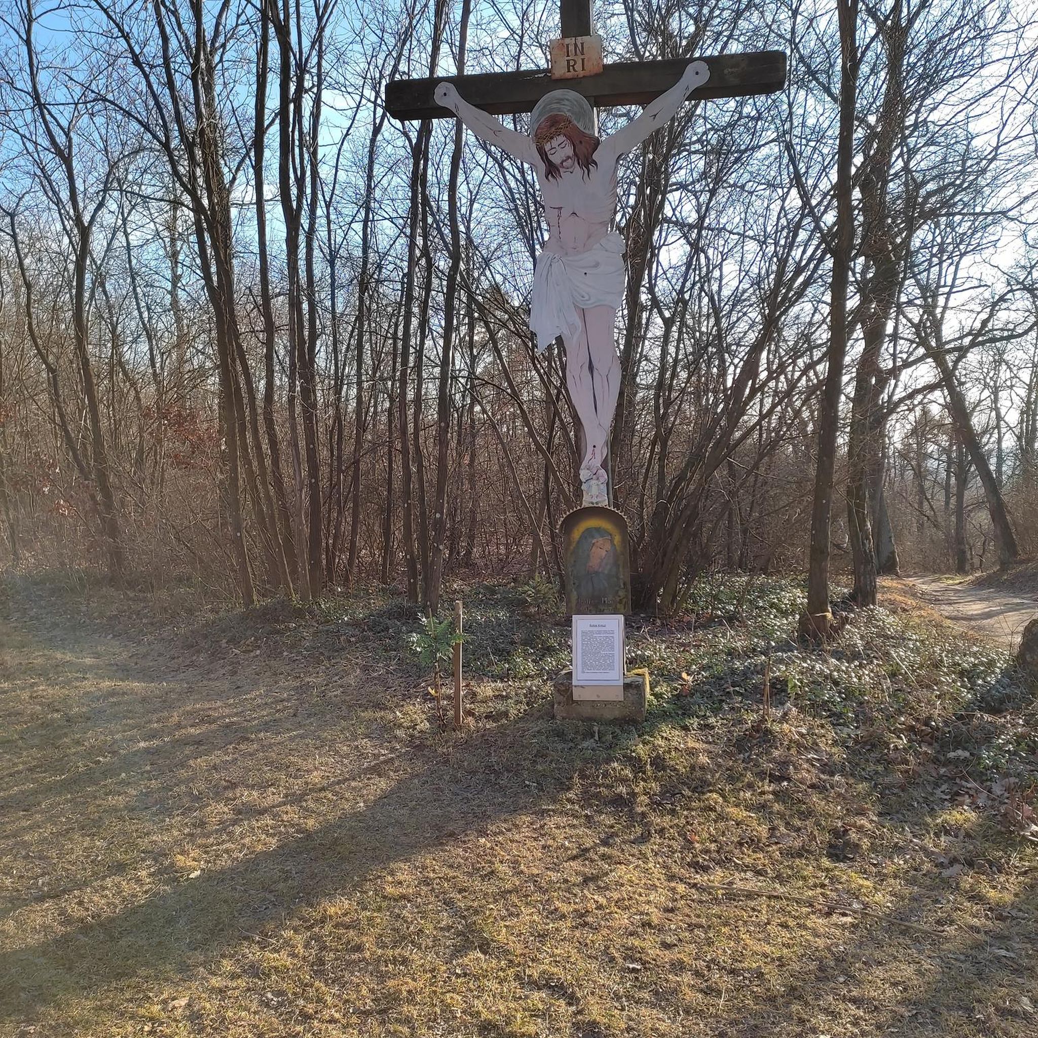
18세기 말, 오스트리아의 여제이자 룩셈부르크 공작인 마리아 테레지아는 엔지니어와 지도 제작자들에게 이 지역을 측량하도록 명했습니다. 이곳, 에흐테르나흐 수도원 영지와 비앙덴 백작령의 경계에, 수세기 동안 경계를 표시해 온 십자가가 있던 자리에 경계석이 세워졌습니다. 가로 80cm, 높이 1m가 넘는 거대하고 정사각형 모양의 이 돌에는 이제 존경받는 통치자의 이름인 "마리아 테레지아석"이 새겨져 있습니다. 경계석의 동쪽 면에는 "신성 로마 제국"의 문장인 쌍두 독수리가 있습니다. 이는 에흐테르나흐 수도원이 황제 직속의 제국 수도원이었음을 증명합니다. 건립 연도인 1771년은 황실 문장 위에 새겨져 있습니다. 비앙덴 백작의 문장은 돌의 서쪽 면에서 볼 수 있습니다. 양쪽의 두 십자가는 프로이센 시대(1816년)에 만들어졌습니다. 경계는 마리아 테레지아석에서 서쪽으로 깊게 파인 계곡을 따라 이어졌으며, 이 계곡은 구전으로 "모르켄델" - "경계석 계곡"으로 알려져 있습니다. 모르켄델은 오늘날에도 볼렌도르프와 발렌도르프 지역 간의 경계를 표시하고 있습니다. (펠젠란트 쥐트아이펠)
6
0
이 고원 전망대에서는 독일-룩셈부르크 자연공원의 사우어 강과 울창한 경사면에 대한 탁 트인 전망을 감상할 수 있습니다. 이 바위는 다양한 하이킹 코스에 위치한 하이커들에게 인기 있는 목적지입니다.
7
0

이 명칭은 18세기에 볼렌도르프 주변 지역을 포함했던 오스트리아 대공이자 오스트리아령 네덜란드의 통치자였던 마리아 테레지아(1717–1780)에서 유래했습니다. 오늘날 마리아 테레지엔 슈타인은 주로 '그뤼네 뚈레'(Grüne Hölle)라는 청취 투어 내의 웨이포인트 역할을 합니다. 이 투어의 경로 안내에 통합되어 있으며, 투어의 일부로 풍경적, 역사적 관련성이 있는 정류장으로 소개됩니다.
43
0
Text according to the information panel: The large, sculpted stone was erected during the reign of Empress Maria Theresa of Austria, around the 18th century. It marked the border between the lordships of Echternach and Vianden, thus forming the border region between the Duchy of Luxembourg and the Electorate of Trier. The east side of the stone displays the coat of arms of Echternach Abbey: Saint Willibrord with his bishop's staff. The west side, however, bears the coat of arms of the County of Vianden with a rampant lion. On the Echternach side, one can also see the letters A.O. (Abbatia Ordinis – Abbey Order) and E.E. (Echternachensis Ecclesiae – Church of Echternach). On the Vianden side, the letters C.V. (Comitatus Vianden – County of Vianden) can be read. The stone was restored and re-erected in the 1970s. Originally, it stood slightly further south, directly on the historical border. Today it is located on the hiking trail between Bollendorf and Wallendorf.
49
0
From the observation tower, a sweeping view opens up across the Sauer Valley, the wooded hills of the Southern Eifel region, and as far as neighboring Luxembourg. The tower can be reached via well-marked hiking trails. The ascent through the striking sandstone cliffs, which give this landscape its distinctive character, is particularly appealing. At the top, the area invites you to take a relaxing break and enjoy the magnificent view.
4
0

A small hut with a bench stands next to the Maria Theresa Stone. A historic boundary stone from the 18th century. A detailed information panel explains it.
13
0
A small viewing platform offers a view of Bollendorf. Several benches invite you to rest.
5
0
We had early morning fog, so I can't comment on the view. The hut itself is simple, with benches all around. It's perfectly adequate for a snack break and shelter from the rain.
9
0
엔젠 주변에서 가장 인기 있는 명소


더 살펴보기
이 근처의 최고의 오두막과 캐빈을 확인하여 엔젠 주변의 더 아름다운 장소를 찾아보세요:
