휘스하임에서 가장 멋진 20개의 호수
휘스하임에서 가장 멋진 호수를 방문하고 싶나요? 호숫가의 고요한 분위기를 느끼거나 날씨가 따뜻한 날 호수에 발을 살짝 담글 수 있다면 얼마나 좋을까요? Komoot 커뮤니티가 추천한 휘스하임의 주요 호수를 아래에서 살펴보고, 다음 모험 때 직접 찾아가보세요!
마지막 업데이트: 8월 20, 2026
Lohweiher(숲속 호수) 벰딩
하이라이트 • 호수
번역자 Google •
팁에 의해


이런 장소를 발견하려면 지금 가입하세요
최고의 싱글 트랙, 봉우리 및 다양한 흥미로운 야외 장소에 대한 추천을 받아보세요.
무료 회원 가입

Gunzenheimer Gump 연못
하이라이트 • 호수
번역자 Google •
팁에 의해

크로이트 연못과 예배당
하이라이트 • 호수
번역자 Google •
팁에 의해

무료로 가입하여 휘스하임 주변의 더 많은 호수를 발견하세요.
무료 회원 가입
이미 komoot 계정이 있나요?
오늘 무료 계정으로 시작하세요
다음 모험이 기다리고 있어요.
로그인 또는 가입하기

커뮤니티 팁


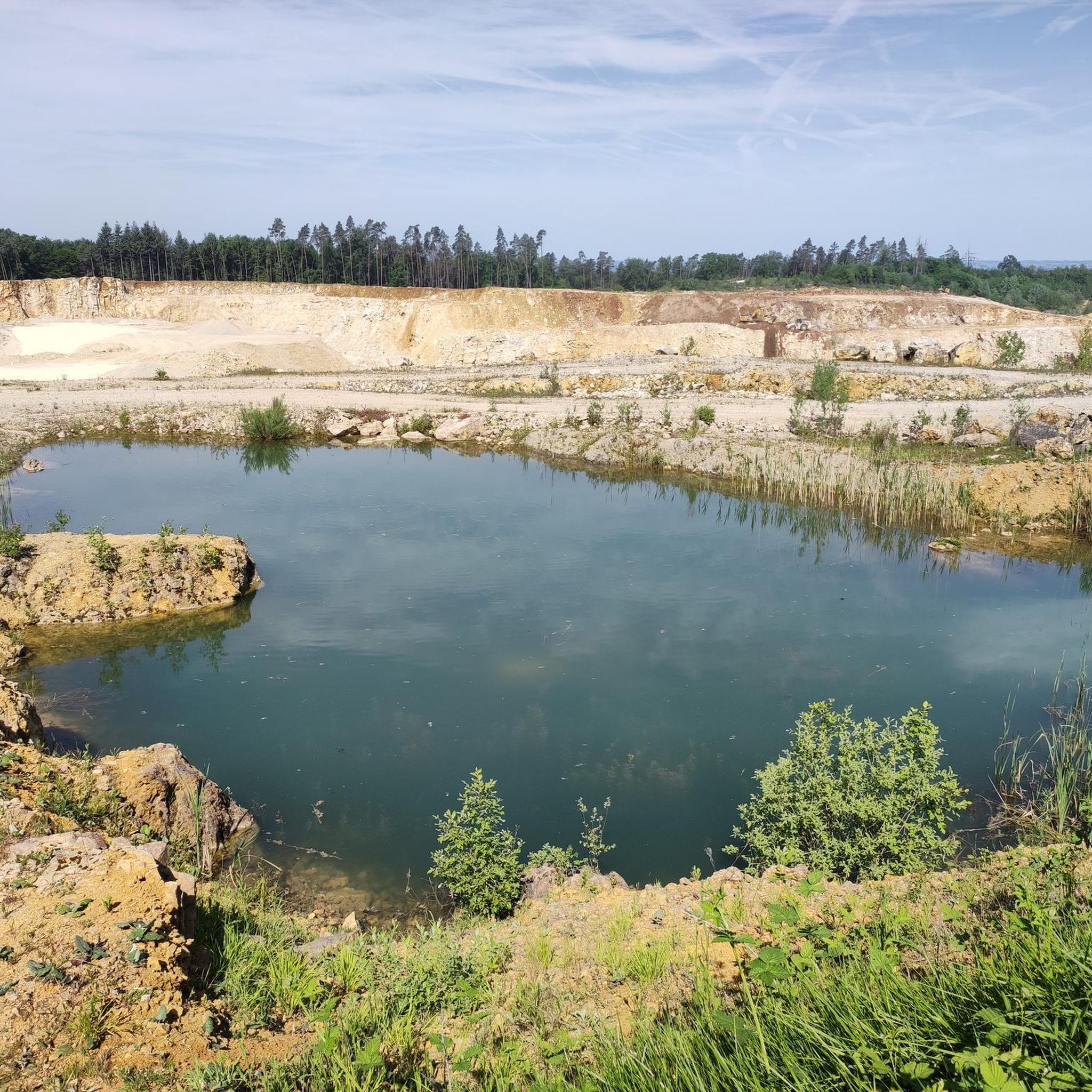
A beautiful lake for swimming, but beavers are also active on its shores.
2
0

The Gailach stream originates in the pond near the small village of Kreut (Monheim), and flows into the Altmühl River approximately 20 km to the east. Directly beside the pond is a chapel with a remarkable interior painting. Resting benches are also available.
0
0

A beautiful view of the pond... The roaring water behind the bench drowns out the twittering of the birds. To get there, you have to bridge a canal about a meter wide.
0
0

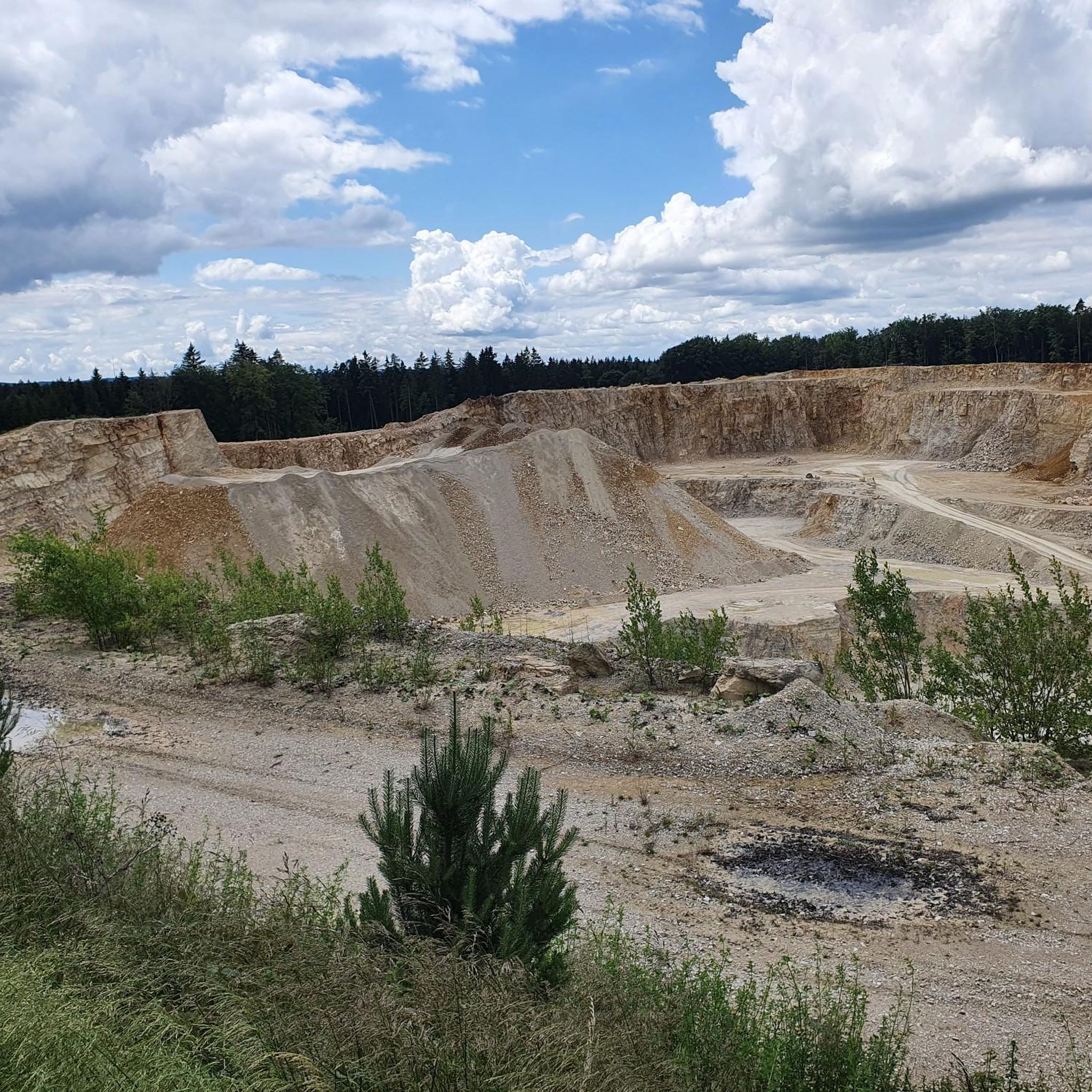
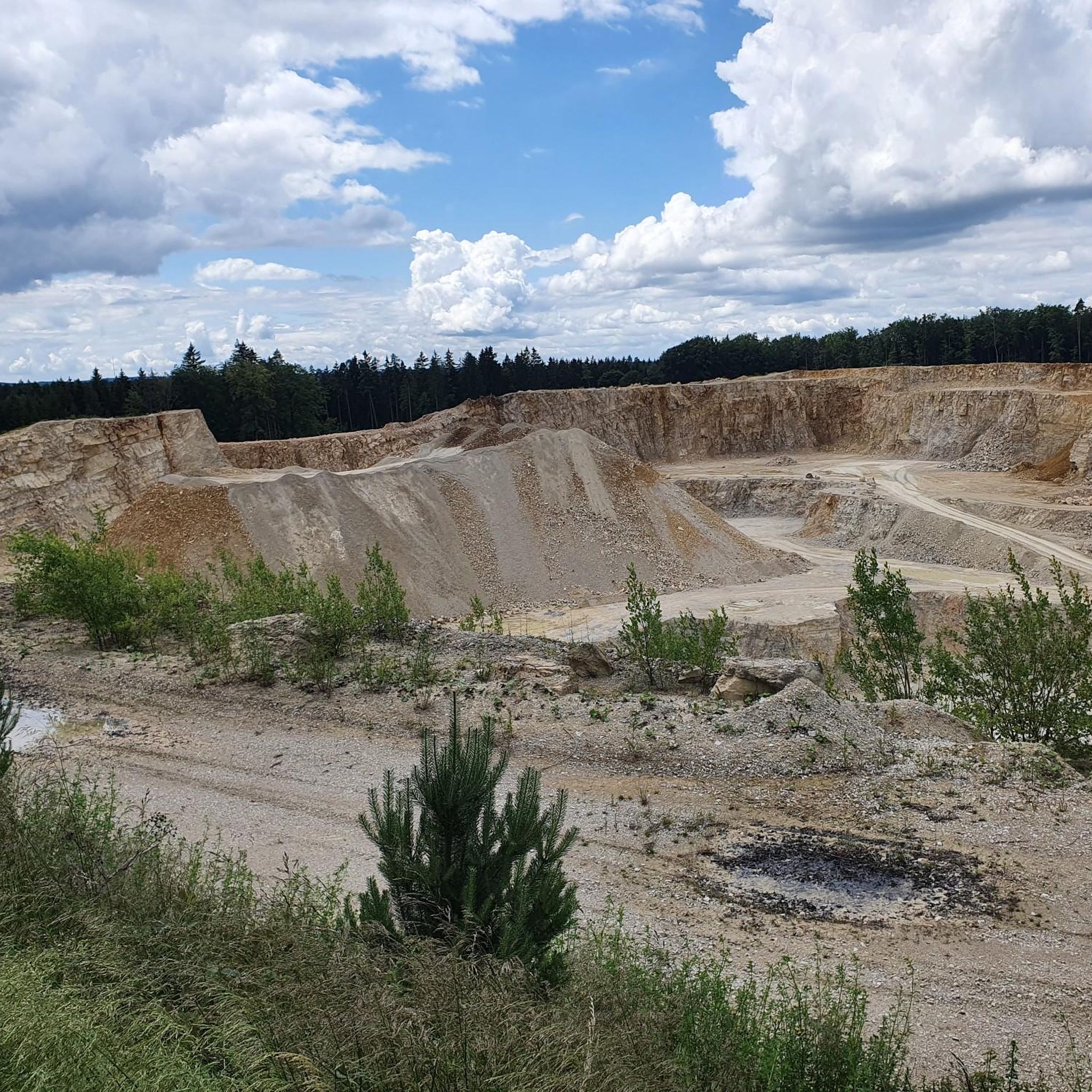
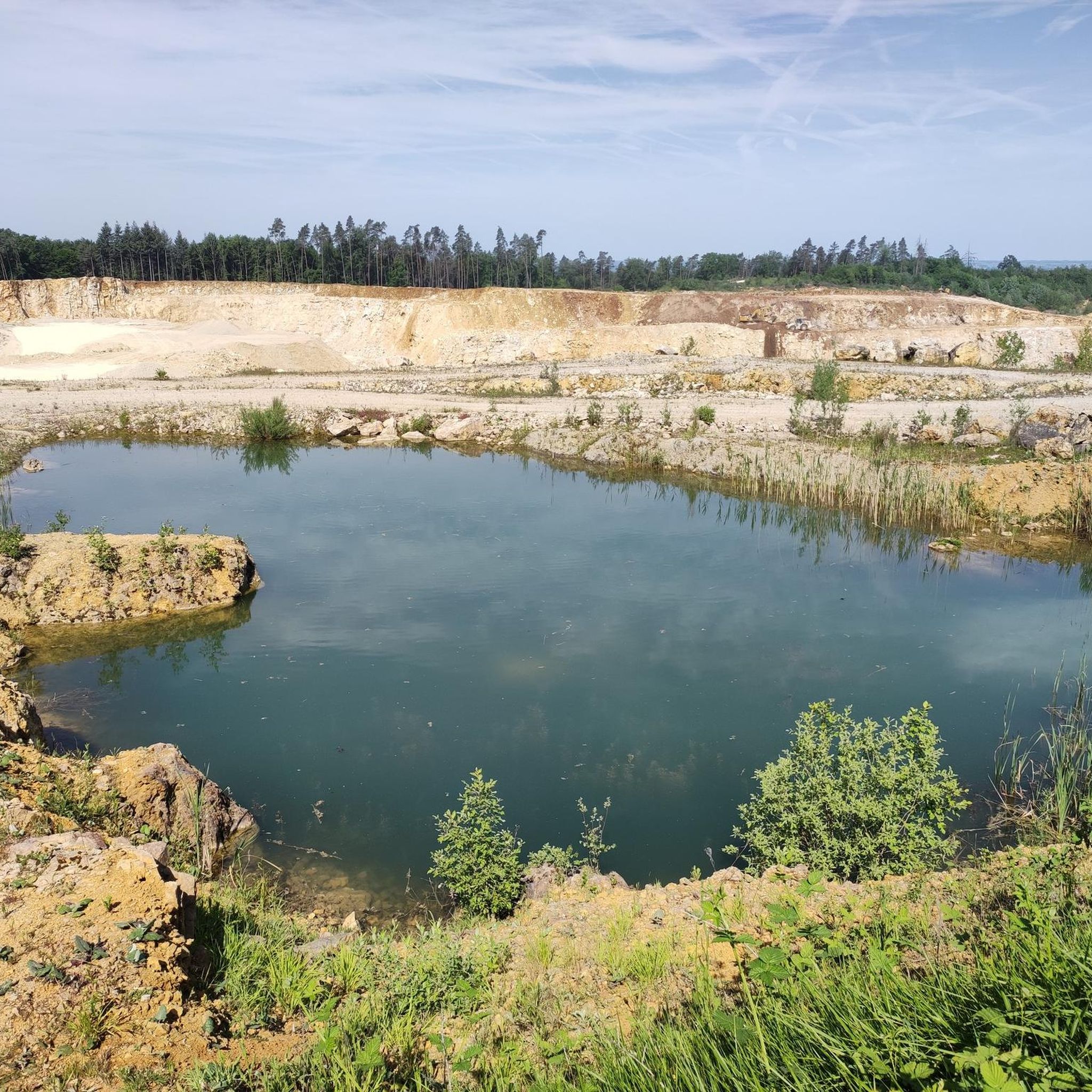
A Malm block measuring several thousand cubic meters within the colorful rubble masses in the area surrounding the Nördlinger Ries was used to extract raw materials and was partially mined. A small pond formed in the resulting hollow due to the low water permeability of the surrounding rubble rocks. The outcrop is located about 5.5 km southeast of the crater rim. The Gunzenheimer Gump is a small artificial pond (about 8 m deep), but it could only have been created due to the special geological conditions of its surroundings and human activities. The colorful rubble masses here consisted of large white Jurassic limestone blocks (Malm Delta) and clayey and sandy components from the Triassic and older Jurassic periods (Lias, Dogger). While the clayey-sandy deposits were removed, the more weather-resistant lime remained. The lime was used to build the Kaisheim monastery church. Due to the damming nature of the clays of the colorful rubble masses, water could rise under excess pressure (artesian rising spring) during lime mining and form a pond. The special geological significance of the Gunzenheimer Gump was taken into account in 2004. The Gunzenheimer Gump was included in the official geotope cadastre of the Bavarian State Office for the Environment and was thus awarded the "Geotop" seal of quality. [ Source: https://www.geopark-ries.de/geologische-besonderheit/gunzenheimer_gump-21524/ ]
1
0

Unfortunately I was only here at the beginning of October, the landscape around the lake is fantastic.
1
0

Coming from Doosweiher, I was missing an arrow today and got lost at the intersection. The path goes across the street and continues there. The arrows were not clear or there were arrows that were not visible due to overgrowth. 🤣
0
0

Hüle, Hülbe or Hüllweiher is a mostly artificially created small body of water on the water-poor plateaus of the Swabian Alb and the Franconian Jura. The still waters are located within built-up areas, in fields and in the forest. The cases were fed by rainwater and lay on natural waterlogged areas. The waters were of great importance as watering places for livestock or for producing industrial water. The Hülen lost their importance with the connection of the Alb settlements to the water supply and today represent unique cultural and historical evidence of the Swabian Alb and the Franconian Jura.
0
0
휘스하임 주변에서 가장 인기 있는 명소


더 살펴보기
휘스하임 주변에서 완벽한 호수를 아직 못 찾으셨나요? 이 지역의 가이드를 확인하여 더 아름다운 장소를 찾아보세요.
