그래프샤프트에서 가장 멋진 20개의 협곡
그래프샤프트 주변 최고의 협곡은 독일 라인란트팔츠주 아르바일러(Ahrweiler) 지구에 위치한 그래프샤프트(Grafschaft) 지자체에서 찾을 수 있습니다. 이 지역은 아르(Ahr) 계곡과 아이펠(Eifel)로 가는 관문 역할을 하며, 아름다운 경치와 과수 재배 지역이 특징입니다. 이 지역의 풍경은 깊은 협곡과 매혹적인 자연 기념물로의 접근을 제공합니다. 이 인접 지역들은 중요한 자연 환경 내에서 다양한 하이킹 기회를 제공합니다.
그래프샤프트 주변 최고의 협곡
- 가장 인기 있는 협곡은 아르(Ahr) 계곡과 아르(Are) 성의 전망을 제공하는 자연 기념물인 악마의 구멍(Devil's Hole)입니다. 이 장소는 역사적인 전설로 유명하며 지형 때문에 적절한 신발이 필요합니다. …
마지막 업데이트: 8월 20, 2026

토펠 슬로흐의 산길
하이라이트 (구간) • 자연 기념물
Tip: only hike there in dry weather, in wet weather the loose slate rubble could be slippery.
번역자 Google •
팁에 의해

이런 장소를 발견하려면 지금 가입하세요
최고의 싱글 트랙, 봉우리 및 다양한 흥미로운 야외 장소에 대한 추천을 받아보세요.
무료 회원 가입
나이팅게일 계곡 트레일
하이라이트 (구간) • 트레일
geography
The Nachtigallental is a Siefen (Kerbtal) valley, starting from the eastern edge of the old town of Königswinter in a largely south-southeast direction along the Drachenfels (321 m …
번역자 Google •
팁에 의해

마이쇼스 위 암석길
하이라이트 • 트레일
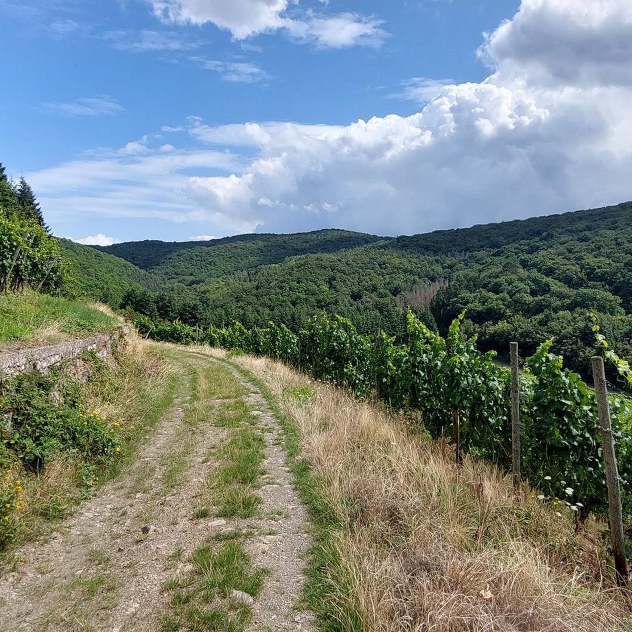
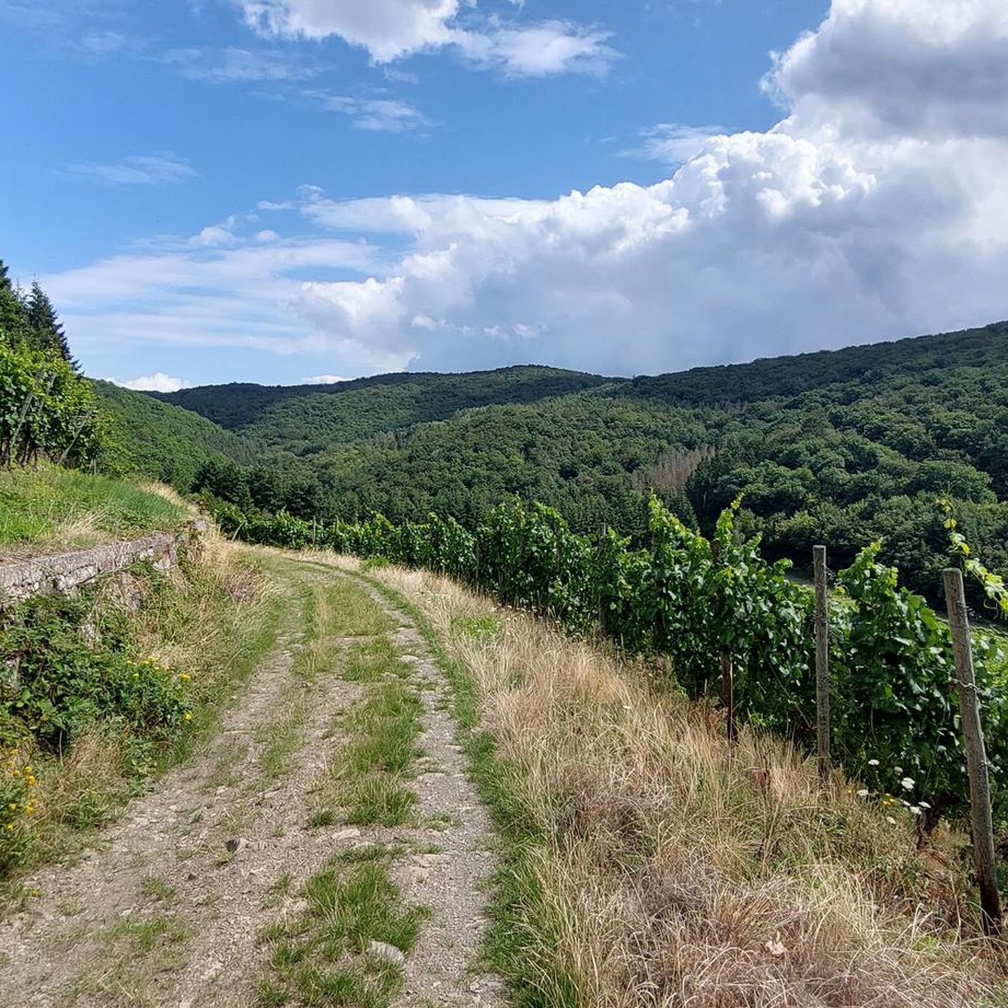
From there you have wonderful views of the Ahr valley, Mayschoß and the Saffenburg castle ruins.
번역자 Google •
팁에 의해


오늘 무료 계정으로 시작하세요
다음 모험이 기다리고 있어요.
로그인 또는 가입하기
커뮤니티 팁

The devil once went to the Ahr valley and was so pleased with the land and its people, but especially the excellent red wine, that he forgot his way home. One day, while he was resting on the mountain opposite Are Castle, his grandmother approached him in the form of a beautiful girl. In the arms of the lovesick devil, she quickly changed back into the disgusting old woman he knew all too well. Angrily, he grabbed his grandmother and threw her back through the rock face into hell. This is how the Teufelsloch came into being, which can still be seen above Altenahr today.
20
0


An impressive extra to hike through. I always like it
6
0

"... The Nachtigallental in Königswinter, at the entrance to the Siebengebirge Nature Park, is simply wonderful, at any time of the year. If you walk up Bahnhofsstrasse there, you'll come straight there. You immediately feel like you are in another, serene world. The hiking trail goes around many curves up towards Drachenfels. The Mennesbach babbles next to the hiking trail and the birds sing. When you have arrived at the upper end of the Nachtigallental, you will already see the Drachenburg and then the Drachenfels castle ruins. Saint Bernard and the Nightingales: A legend from the Middle Ages tells how the Nightingale Valley got its name. Once, Saint Bernard of Clairvaux, the great Cistercian monk, was very upset by the singing of nightingales during a visit to Himmerod Monastery. He was so angry that the birds migrated to a valley in the Siebengebirge, which was later called “Nachtigallental”. Saint Bernard moved back to Clairvaux, but from then on music was at home here. The Nightingale Valley is a bird paradise. But not all monks felt like Bernhard von Clairveau, just think of the famous monk von Heisterbach, Cistercians like Bernhard, he liked the singing of birds. ..." FURTHER INFORMATION: https://www.rheindrache.de/nachtigallental/
6
0

A few bridges were no longer intact and very shaky. But a nice change from normal paths.
8
0

Along the small Tretschbach you first go downhill over three wooden bridges. At the top you have the familiar beech forest, Haimsen, woodruff and many other plants and animals. Further down it gets wetter due to the many seepage springs, here you walk on the boardwalk. Here you will find alluvial forest with alders, ash trees, ferns and many other plants and animals in the air, on the ground and in the Tretschbach. A beautiful valley in the Siebengebirge!
11
0

Beautiful section on the hiking trail to Drachenburg Castle. Really idyllic and quiet forest, which is great for hiking
5
0

그래프샤프트 주변에서 가장 인기 있는 명소


더 살펴보기
이 지역에서 모든 것을 발견하셨나요? 다음 모험을 위해 그래프샤프트 주변의 추가 협곡을 확인해보세요:
