빌링스하우젠에서 가장 멋진 7개의 산 정상
빌링스하우젠의 산 정상에 오르면 이 지역의 아름다운 모습을 제대로 구경할 수 있어요. 다만, 7
곳이나 되는 산 정상 중에서 어떤 곳을 가야 할 지 고민된다는 게 문제죠. 빌링스하우젠에서 가장 멋진 산 정상을 살펴본 후에 마음에 드는 산 정상을 다음 모험 계획에 추가해보세요.
마지막 업데이트: 9월 30, 2026
크뉼쾨프헨의 아우구스트-프랑케 전망탑
하이라이트 • 전망대
번역자 Google •
팁에 의해

크뉼투름(크뉼쾨프헨)
하이라이트 • 기념물
번역자 Google •
팁에 의해

이런 장소를 발견하려면 지금 가입하세요
최고의 싱글 트랙, 봉우리 및 다양한 흥미로운 야외 장소에 대한 추천을 받아보세요.
Waizeberger Köpfchen (Waizenberg의 최고점)
하이라이트 • 정상
번역자 Google •
팁에 의해

오일렌베르크의 가장 높은 지점
하이라이트 • 정상
번역자 Google •
팁에 의해

오늘 무료 계정으로 시작하세요
다음 모험이 기다리고 있어요.
커뮤니티 팁

It is proven that court proceedings took place here from the early to the late Middle Ages. At the highest point is a clearing where, supposedly, no tree has grown for centuries. Indeed, the area is completely treeless, with only dry grass growing in this spot. Considering the history of the place, this is extremely interesting.
4
0
The Eulenberg is a wonderful little hiking area where there is all sorts of things to discover. The area is lushly covered and numerous conifers, mostly very old pines and spruces, line the forest floor.
6
0

The people of Neustadt call it the "Waizeberger Köpfchen".
5
0
This is 345 meters above sea level, at the highest point of the Waizenberg.
4
0
There is a 12 meter high lookout tower on the mountain. Built in 1978 as a crumple tower, it was renamed the August Franke Tower in 1984. To the west, a little below the summit, there is a 46-meter-high steel-frame transmission tower for the Deutsche Bundespost. It is used for radio transmission and is also used by a local group of the amateur radio club. Source: https://de.wikipedia.org/wiki/Kn%C3%BCllk%C3%B6pfchen
8
2

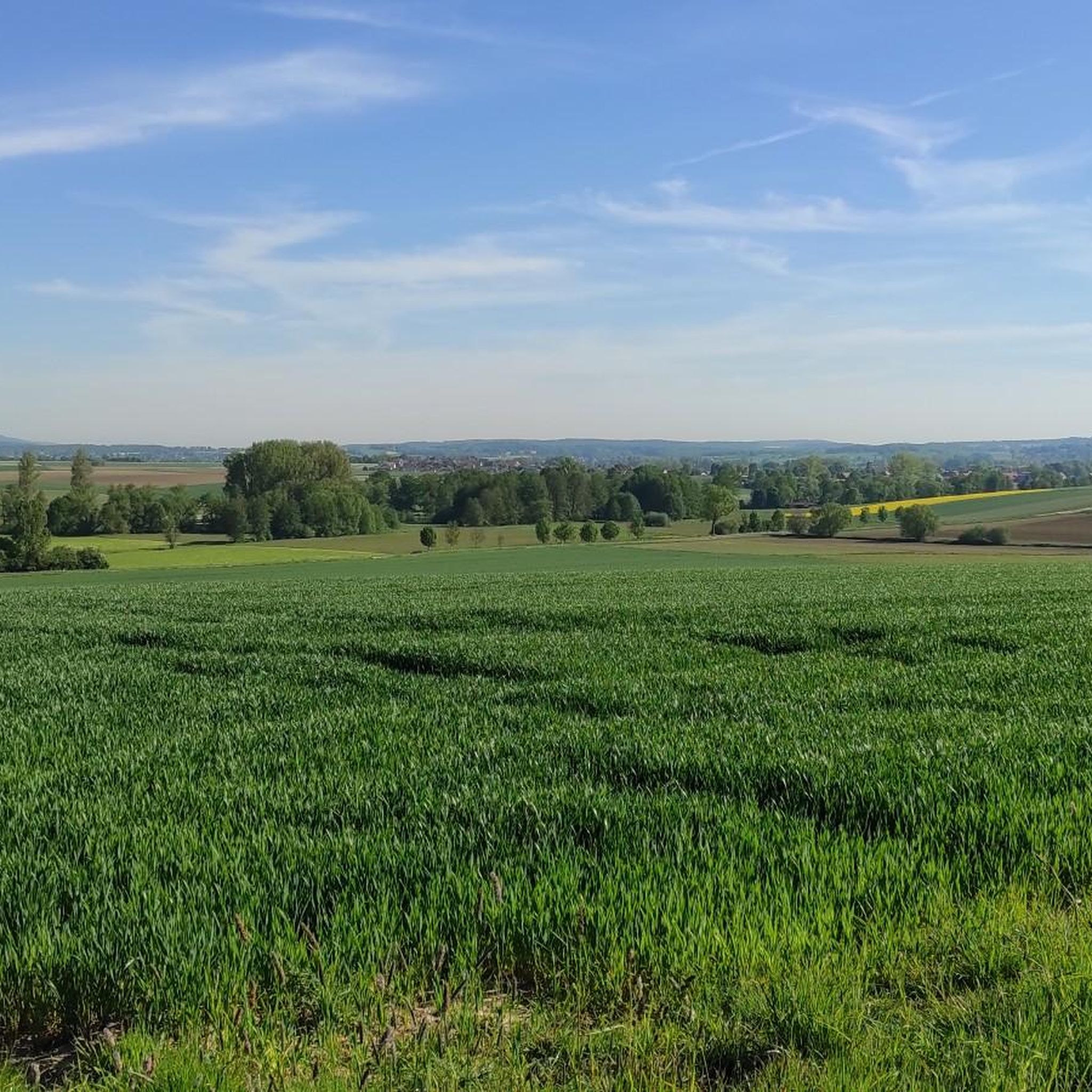
Nice view up there. It is a great destination for hiking and cycling. You will be rewarded and it invites you to linger there
5
0

Only a few kilometers from Knüllköpfchen you will find the Christeröder waterfall. Definitely worth a visit
4
0

When you've made it to the top, you should relax.
3
0
빌링스하우젠 주변에서 가장 인기 있는 명소


더 살펴보기
이 가이드를 통해 빌링스하우젠 주변의 더 놀라운 정상들을 확인해보세요:
