바트 뒤벤에서 가장 멋진 20개의 호수
바트 뒤벤에서 가장 멋진 호수를 방문하고 싶나요? 호숫가의 고요한 분위기를 느끼거나 날씨가 따뜻한 날 호수에 발을 살짝 담글 수 있다면 얼마나 좋을까요? Komoot 커뮤니티가 추천한 바트 뒤벤의 주요 호수를 아래에서 살펴보고, 다음 모험 때 직접 찾아가보세요!
마지막 업데이트: 8월 20, 2026
뮐데 다리(뮐데슈타우제)
하이라이트 • 다리
번역자 Google •
팁에 의해


이런 장소를 발견하려면 지금 가입하세요
최고의 싱글 트랙, 봉우리 및 다양한 흥미로운 야외 장소에 대한 추천을 받아보세요.
무료 회원 가입

Seelhausener 호수
하이라이트 • 호수
번역자 Google •
팁에 의해
비트리올 연못
하이라이트 • 호수
is actually a post-mining landscape. From 1669 onwards, sulphates containing copper, iron and zinc were mined here.
Source flickr.com/photos/93898066@N07/45207898241
번역자 Google •
팁에 의해
무료로 가입하여 바트 뒤벤 주변의 더 많은 호수를 발견하세요.
무료 회원 가입
이미 komoot 계정이 있나요?
오늘 무료 계정으로 시작하세요
다음 모험이 기다리고 있어요.
로그인 또는 가입하기
바트 뒤벤 주변 인기 장소
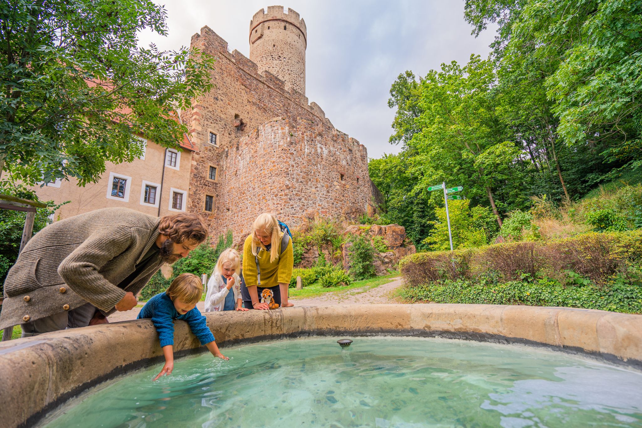
Time for little adventures – family hikes in the Leipzig region
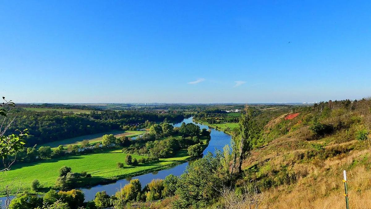
작센-안할트의 국가 자연 경관
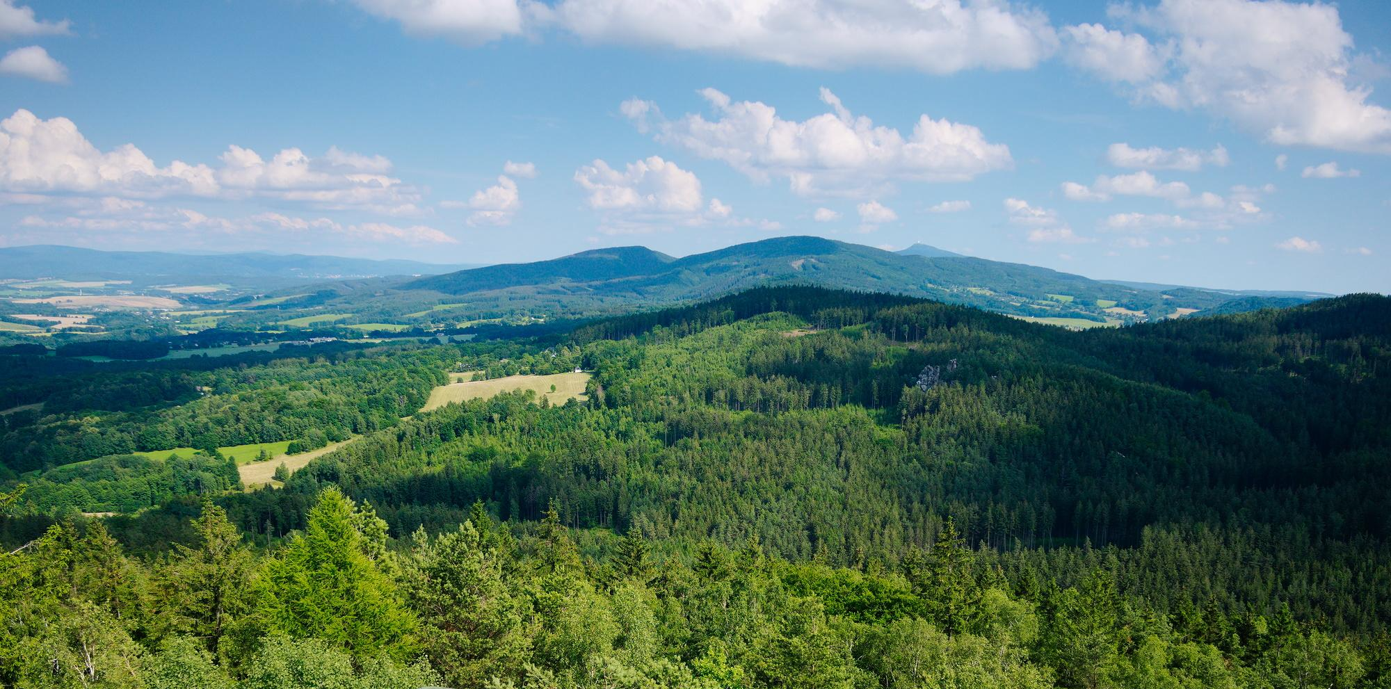
작센의 국가 자연 경관
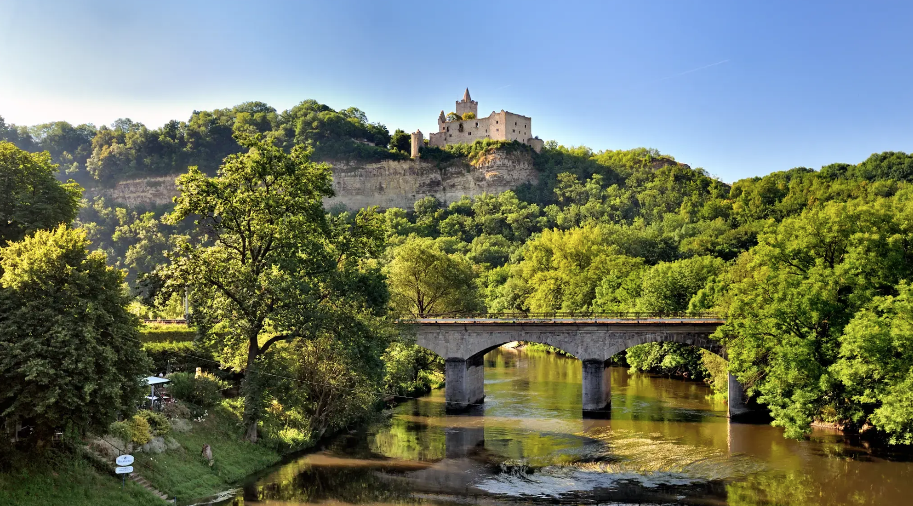
Walking and Wellness – spa towns in the Leipzig area

Pure road and gravel riding joy through Saxony
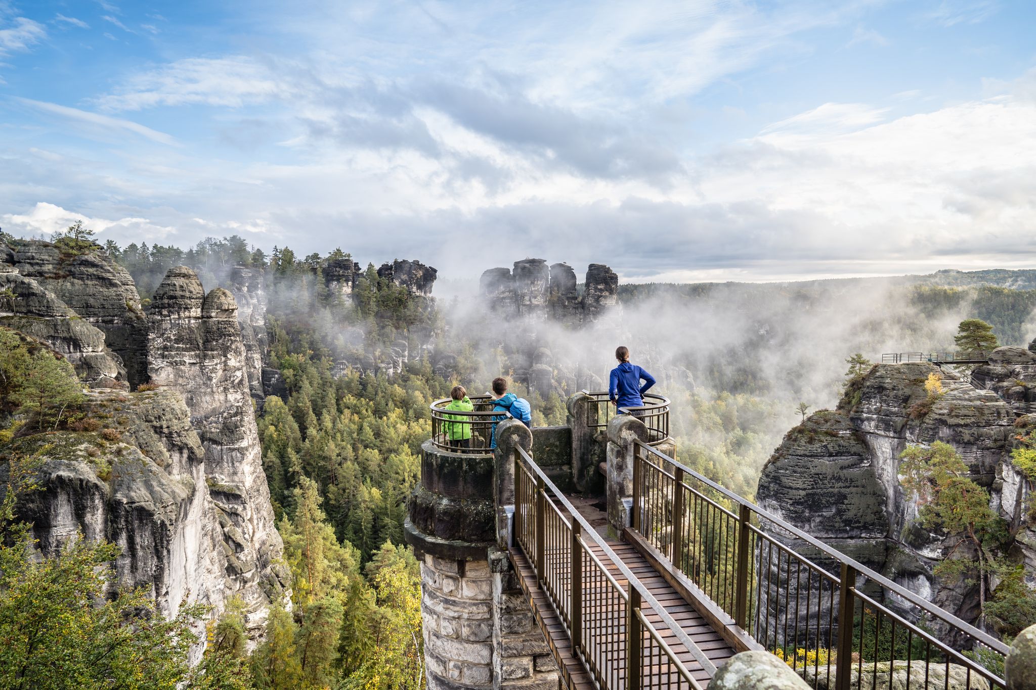
Natural wonders of Saxony – hiking with the wow factor
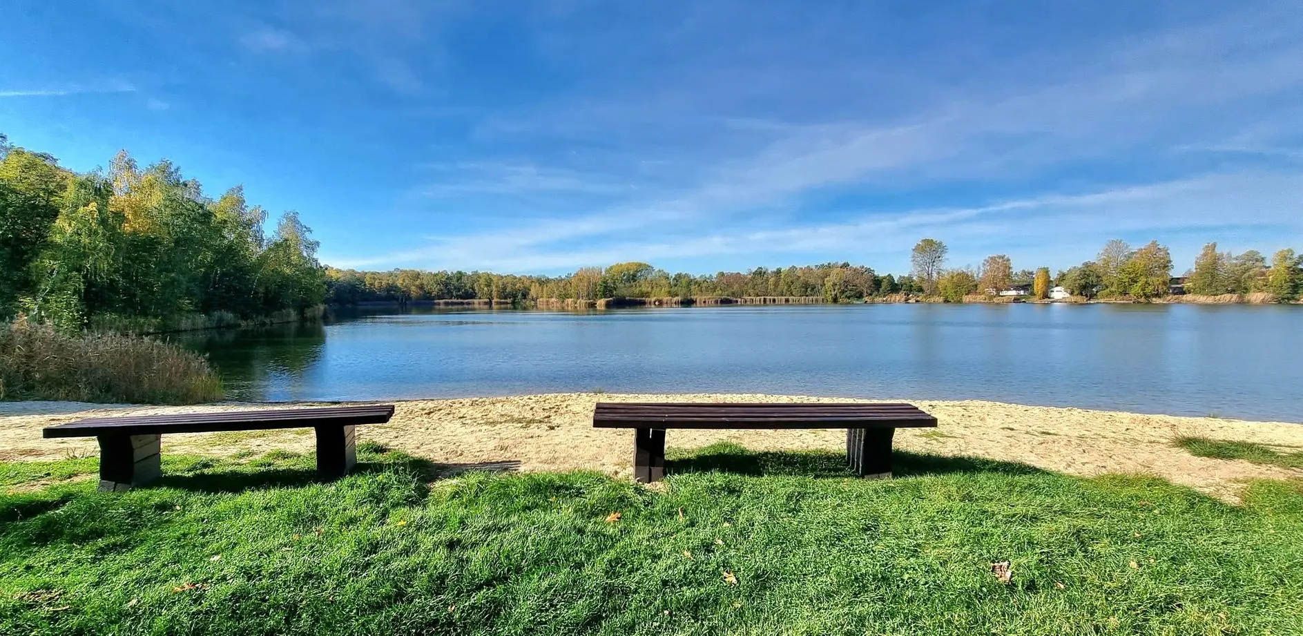
With the PlusBus to wonderful hikes near Leipzig
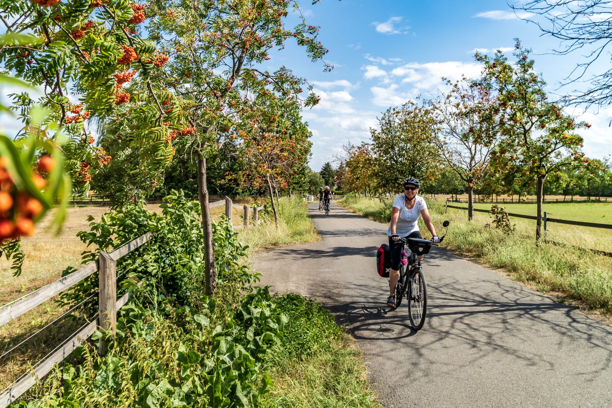
Cycling into the countryside – urban escapism around Leipzig
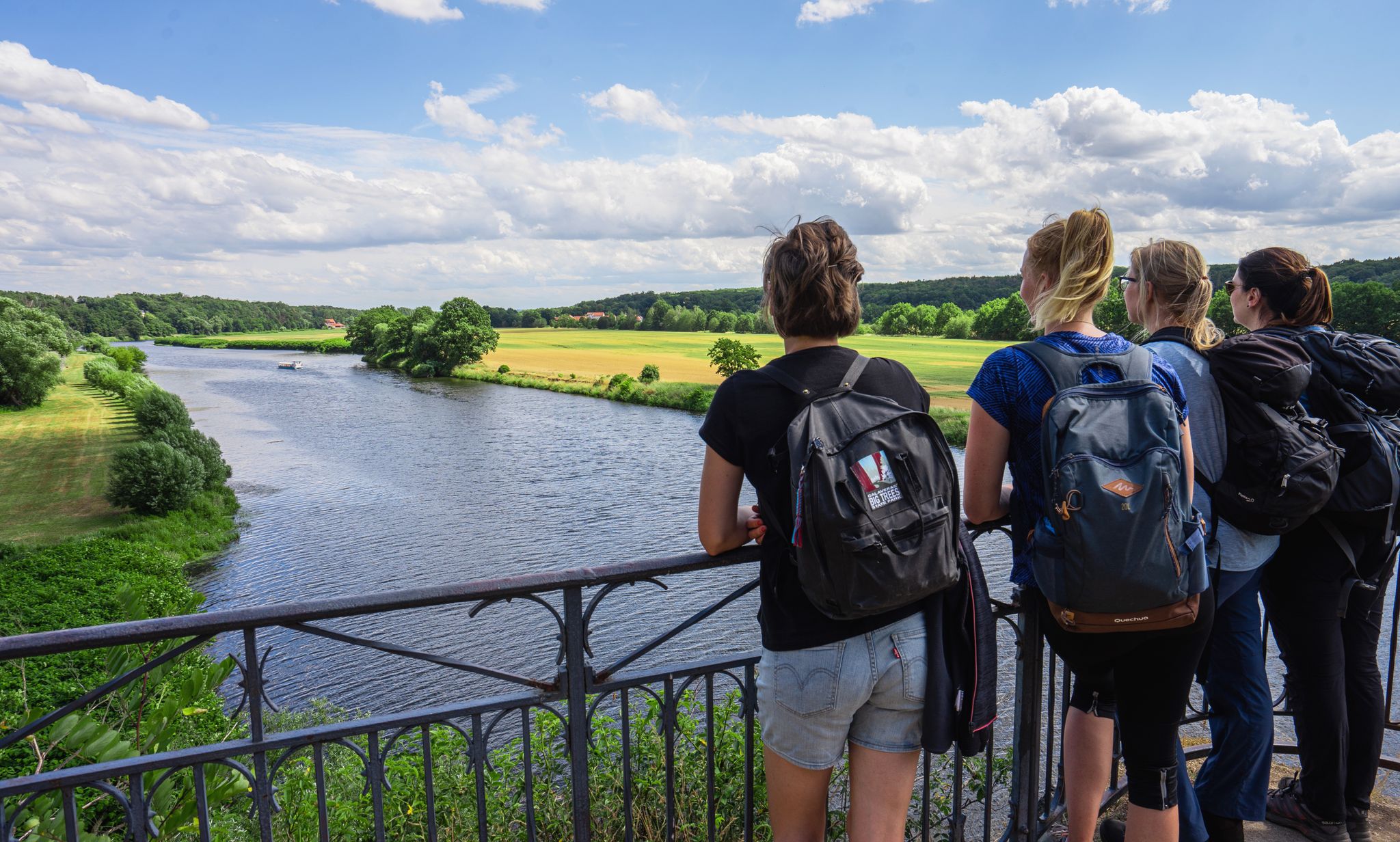
Hiking between big city and nature – urban escapism Leipzig
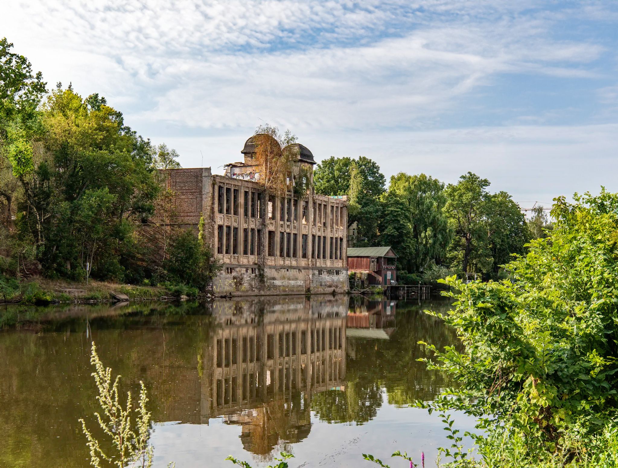
Abandoned and forgotten — mysterious lost places around Leipzig
바트 뒤벤 주변의 다른 모험


커뮤니티 팁

오늘날, Neuhäuser 호수에는 풍경의 형성에 관한 전망대와 정보 표지판이 있는 잘 구축된 자전거 및 하이킹 경로 네트워크가 펼쳐져 있습니다. Lutherstadt Wittenberg에서 Markkleeberg까지 이어지는 120km 길이의 Kohle-Dampf-Licht 자전거 경로는 호수를 지나갑니다. 출처 https://de.wikipedia.org/wiki/Neuh%C3%A4user_See
1
0
19세기 중반, Goitzsche 남서쪽 Petersroda와 Holzweißig 마을 근처에서 최초의 광업 활동이 시작되었습니다.[3] 갈탄층을 따라 채굴은 서쪽에서 동쪽으로 이동했습니다. 오늘날 Magdeburg–Leipzig 및 Trebnitz–Leipzig 철도 노선의 개통으로 갈탄 판매 시장은 Halle 및 Leipzig까지 확장되었습니다. 19세기와 20세기에 전기 에너지와 화석 연료에 대한 수요 증가는 1908년 Leopold 노천 광산(1945년부터 1962년까지 Holzweißig–Ost)의 개방과 1958년 Holzweißig-West 노천 광산의 생성을 가져왔습니다.[3] Neuhäuser See는 이전의 Holzweißig-West 갈탄 노천 광산에서 형성되었습니다. 이름은 1976년 Paupitzsch 마을과 함께 철거된 Neuhaus 영지에서 유래했습니다. Holzweißig-West 노천 광산은 1958년부터 1980년까지 운영되었습니다. 다른 자료에서는 1991년까지 사용되었다고 보고합니다. 호수의 침수는 1993년부터 2005년까지 이루어졌습니다.[1] 넘치는 물은 Goitzsche를 통해 Mulde로 흘러갑니다. 1997년부터 이 지역은 복원되고 안정적인 제방이 만들어지고 있습니다. Quelle https://de.wikipedia.org/wiki/Neuh%C3%A4user_See
1
0
노이하우저 제(Neuhäuser See)는 작센 자유주와 작센안할트주의 북서쪽 국경에 위치하며, 해발 약 78m 높이에 있습니다. 호수 남쪽에는 북부 작센 지역의 군청 소재지인 델리치(Delitzsch)의 지역인 벤도르프(Benndorf)가 있고, 북쪽에는 작센안할트주의 통합 지자체인 비터펠트-볼펜(Bitterfeld-Wolfen)이 있습니다. 이곳은 중앙 독일 호수 지역에 있으며, 그로서 고이체제(Großer Goitzschesee)와 루트비히제(Ludwigsee), 파우피처제(Paupitzscher See) 수역 남쪽에 있습니다. Quelle https://de.wikipedia.org/wiki/Neuh%C3%A4user_See
1
0
Neuhäuser See(또는 Neuhauser See)는 약 155헥타르 규모의 노천 채굴 잔여 호수로, 이전의 Holzweißig-West 노천 광산을 침수시켜 형성되었습니다. 이 호수는 독일 중부 호수 지대에 위치하며, Goitzsche 보호 경관 지역의 남쪽, Delitzsch 시의 북쪽에 있습니다. 출처 https://de.wikipedia.org/wiki/Neuh%C3%A4user_See
1
0
The village of Seelhausen was buried in 1987 during the expansion of the Goitzsche open-cast mine. The Seelhausen Lake was created by flooding the remaining open-cast mine pit. It lies west of Löbnitz, south of Bitterfeld, and north of Delitzsch, in the Central German Lake District. From the end of July 2000, the lake was filled with water from the Mulde River via a pipeline at a rate of 1 m³/s[1] until the pipeline was destroyed by the Elbe River flood in 2002. Since then, the lake has been fed by the Lober-Leine Canal. According to the LMBV (Lausitz and Central German Mining Company), 96% of the planned water level had been reached by March 2004. The flooding work was completed in 2005.[1] A beach area has since been built at the flooding site, and further development of the lake as a recreational area is planned. The larger Goitzsche Lake lies northwest of the Seelhausen Lake. The lake district also includes Lake Paupitzsch, Lake Holzweißig, Lake Ludwig, Lake Neuhaus, and Lake Zöckeritz with Essigloch and Lake Auensee. The total surface area of all lakes in the former Goitzsche open-cast mine is estimated at 24 square kilometers. Lake Seelhausen is a former open-cast mine lake with a water level of 78 meters above sea level. Its storage capacity is 74 million cubic meters, with a surface area of 622 hectares. Source: https://de.wikipedia.org/wiki/Seelhausener_See
2
0
Lake Seelhausen is a former open-cast mining lake of approximately 622 hectares, formed from the former Rösa lignite mine (part of the Goitzsche). It lies mostly in the German state of Saxony and partly in Saxony-Anhalt. Source: https://de.wikipedia.org/wiki/Seelhausener_See
2
0

바트 뒤벤 주변에서 가장 인기 있는 명소


더 살펴보기
바트 뒤벤 주변에서 완벽한 호수를 아직 못 찾으셨나요? 이 지역의 가이드를 확인하여 더 아름다운 장소를 찾아보세요.
