경로

플래너

기능

업데이트

App

로그인 또는 가입

앱 다운로드

로그인 또는 가입

경로
사이클링 경로
독일
색스니 털실
노드작센

바트 뒤벤

바트 뒤벤 최고의 사이클링 경로

4.4

(538)

1,671

자전거 타는 사람

138

라이딩

바트 뒤벤 최고의 사이클링 경로를 찾으시나요? 바트 뒤벤에서 가장 멋진 자전거 라이딩 장소를 살펴본 후에 바로 떠나보세요. 여기서 마음에 드는 경로만 고르시면 돼요!

마지막 업데이트: 6월 26, 2026

4.6

(79)

216

자전거 타는 사람

#1.

Bad Düben에서 출발하는 그루나 페리하우스 – 그루나 페리 순환 코스

43.1km

02:39

90m

90m

어려운 자전거 타기. 좋은 체력 필요. 투어 중 자전거를 끌고 가야 하는 구간이 있을 수 있음.

기기에서 길안내

휴대폰으로 전송

저장

어려움

초급용 자전거 라이딩. 모든 체력 수준에 적합. 대부분 포장된 지면. 실력과 관계없이 누구나 갈 수 있음.

초급
guide_signup
저희가 komoot 모바일 앱로 길을 안내해 드리겠습니다.
무료 komoot 계정로 끝없는 야외 모험을 손쉽게 찾고, 맞춤 설정하며 길안내할 수 있어요.

무료 회원 가입

보통 자전거 타기. 좋은 체력 필요. 대부분 포장된 지면. 실력과 관계없이 누구나 갈 수 있음.

보통

초급용 자전거 라이딩. 모든 체력 수준에 적합. 대부분 포장된 지면. 실력과 관계없이 누구나 갈 수 있음.

초급

보통 자전거 타기. 좋은 체력 필요. 대부분 포장된 지면. 실력과 관계없이 누구나 갈 수 있음.

보통
무료 회원 가입 후 바트 뒤벤 주변 라이딩 경로를 134개 더 확인하세요

더 다양한 경로와 다른 탐험가들의 추천을 살펴보세요.

무료 회원 가입

이미 komoot 계정이 있나요?

투어 추천은 다른 사람들이 komoot에서 완료한 수천 개의 활동을 바탕으로 구성되어 있습니다.

오늘 무료 계정으로 시작하세요

다음 모험이 기다리고 있어요.

로그인 또는 가입하기

바트 뒤벤 주변 인기 장소

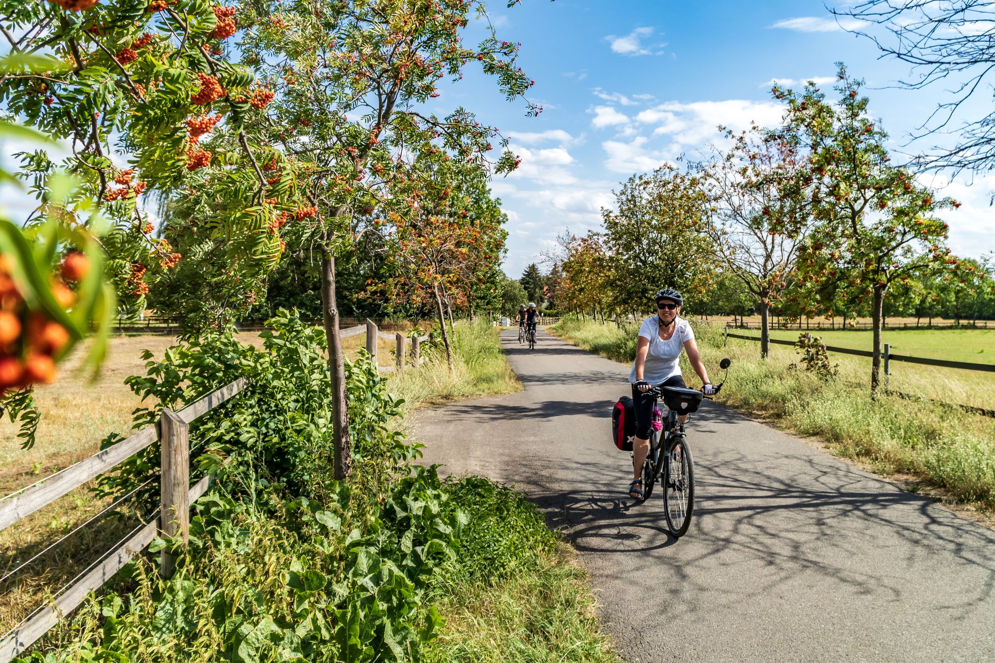
Cycling into the countryside – urban escapism around Leipzig
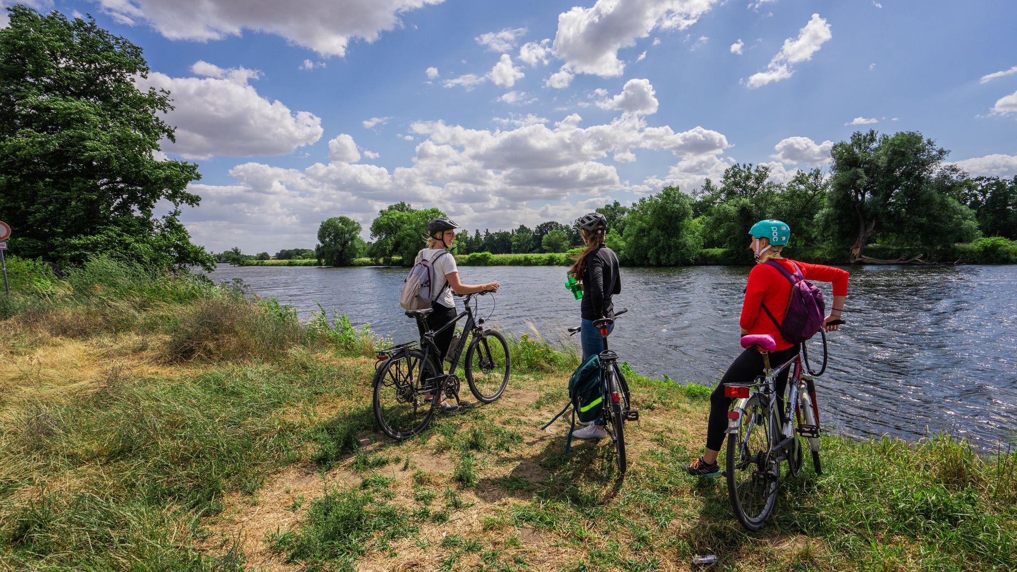
뮌데 사이클링 경로
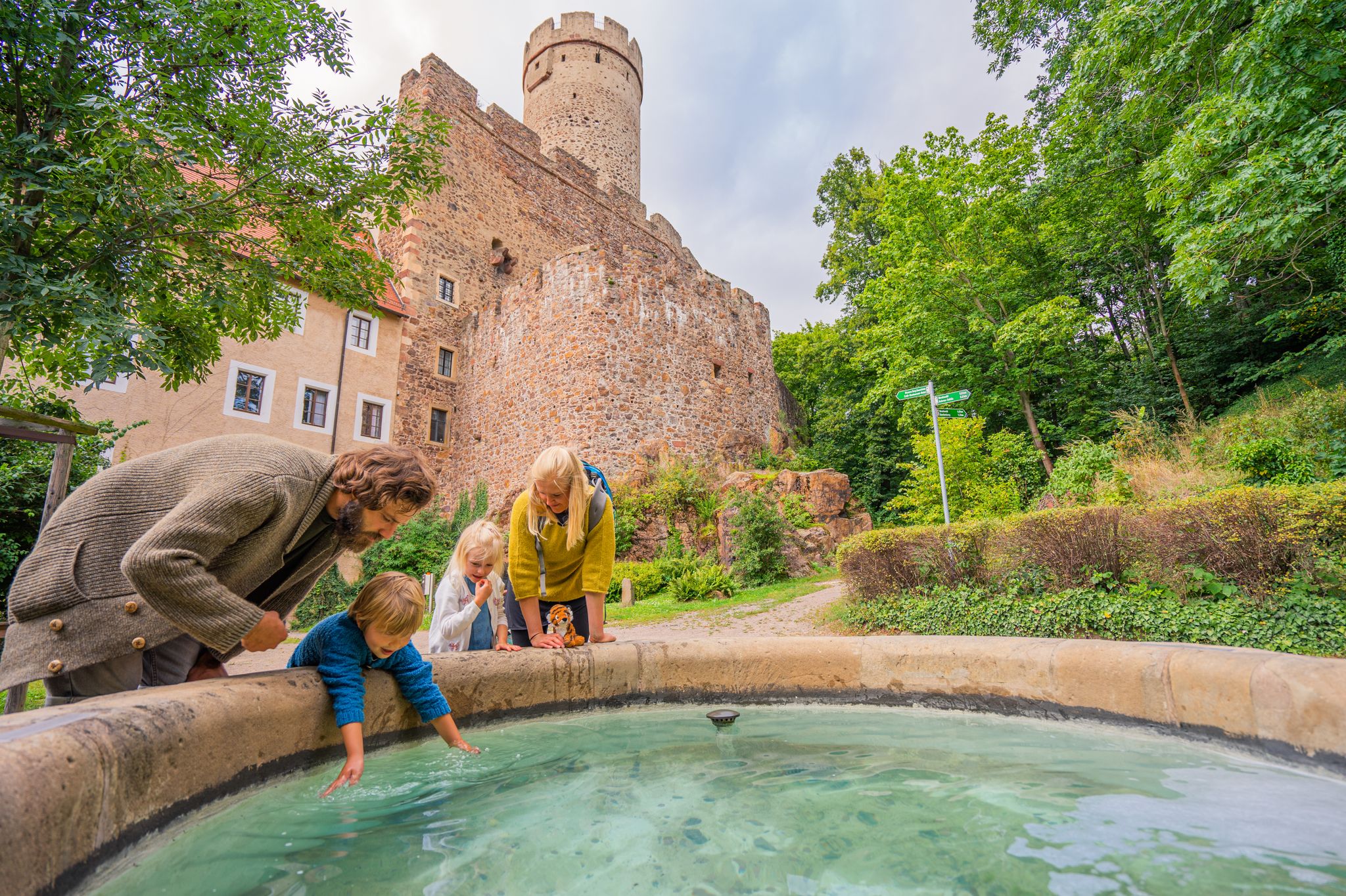
Time for little adventures – family hikes in the Leipzig region
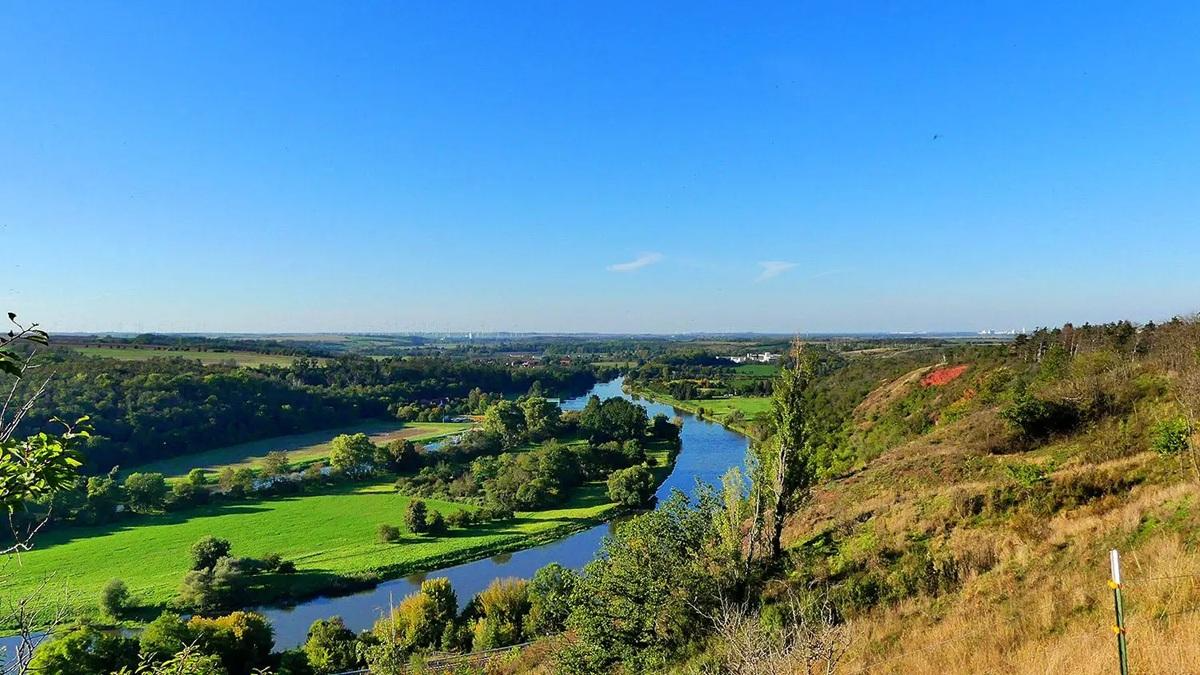
작센-안할트의 국가 자연 경관
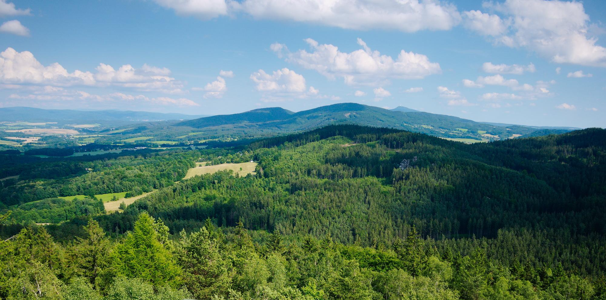
작센의 국가 자연 경관
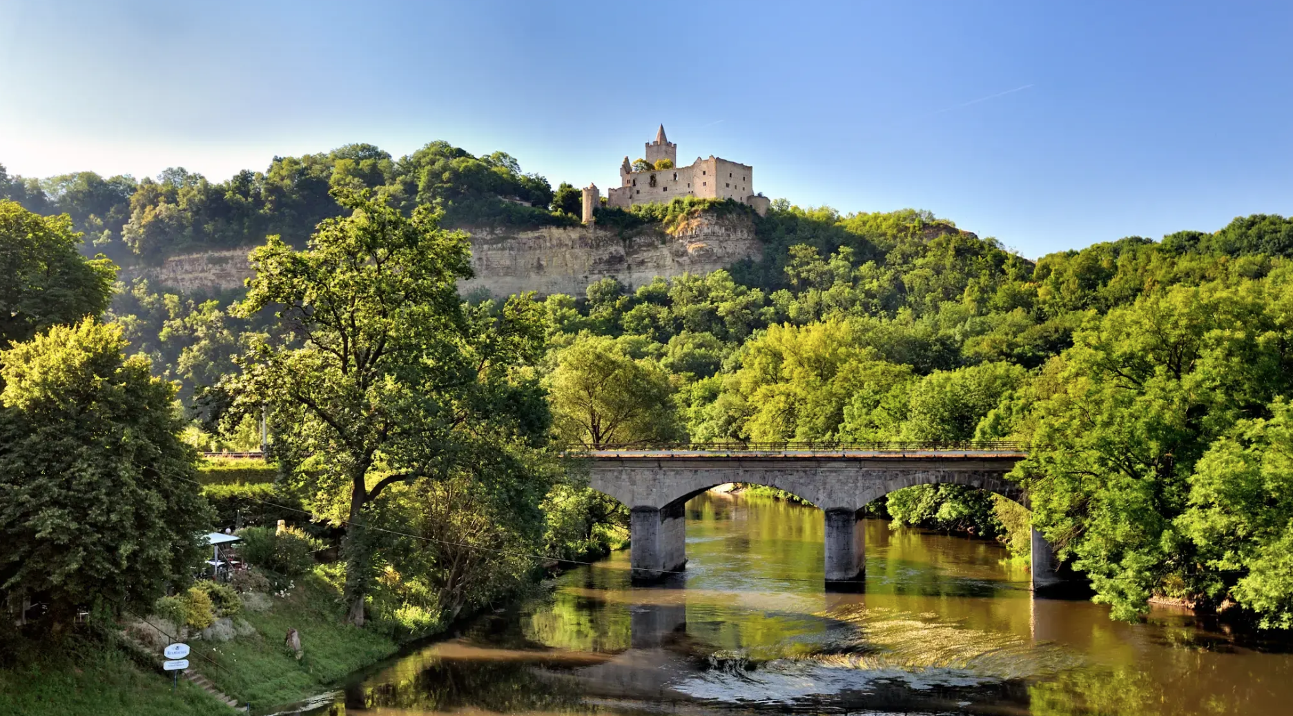
Walking and Wellness – spa towns in the Leipzig area
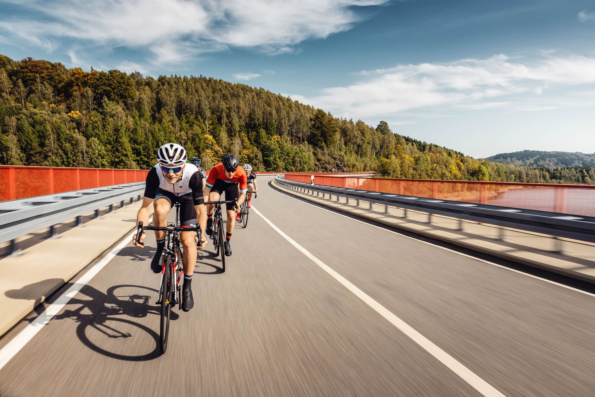
Pure road and gravel riding joy through Saxony
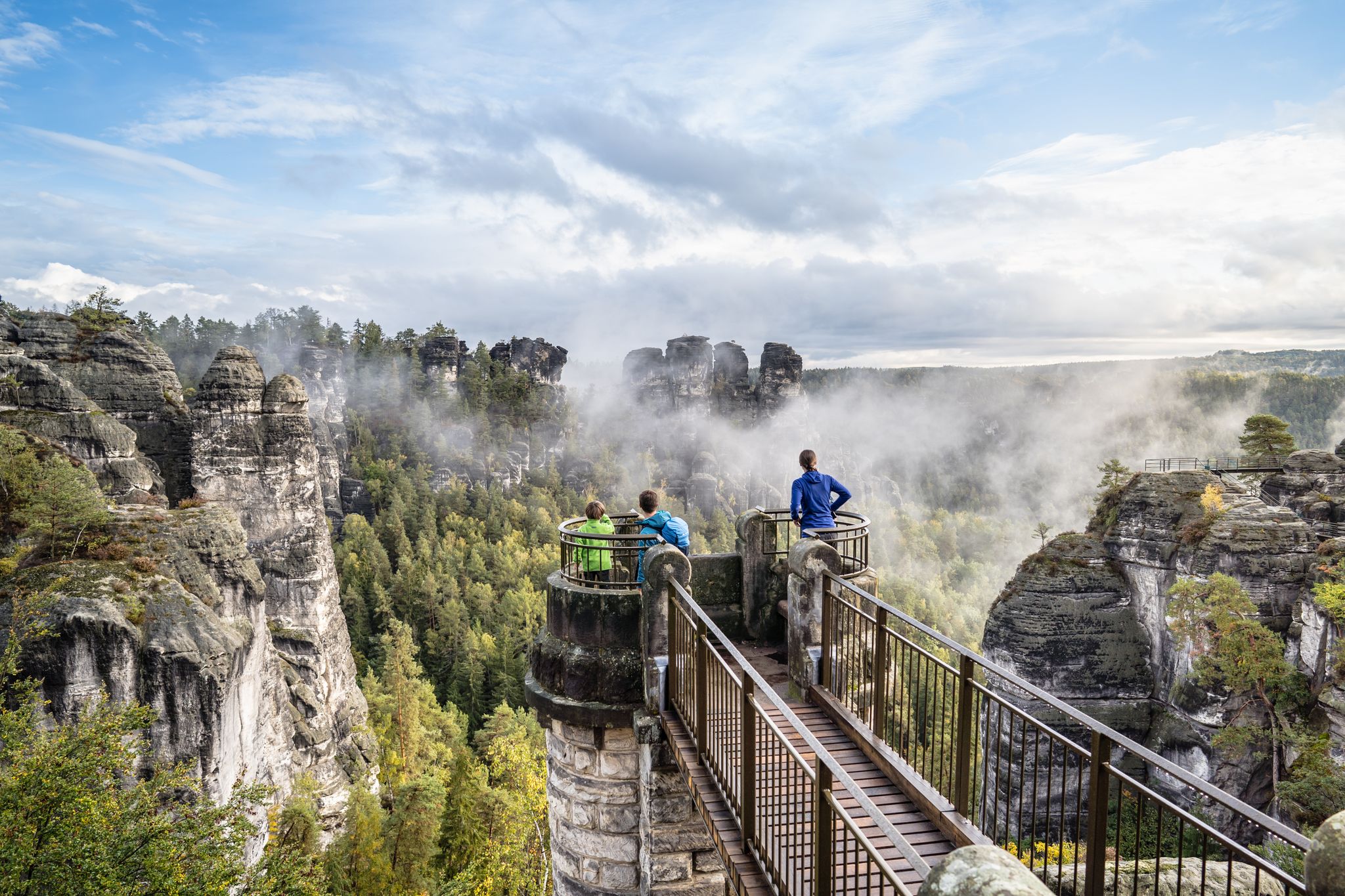
Natural wonders of Saxony – hiking with the wow factor
With the PlusBus to wonderful hikes near Leipzig
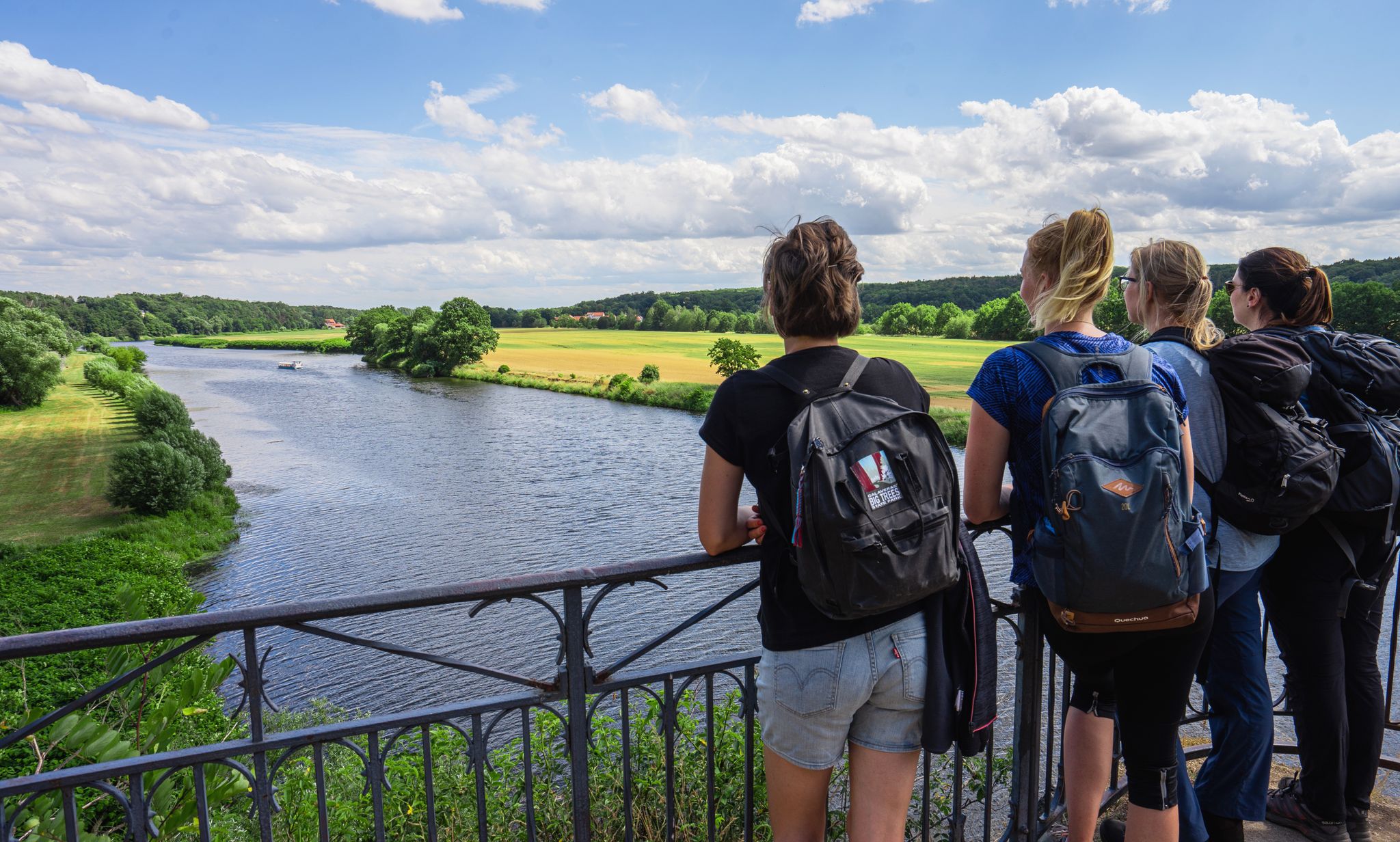
Hiking between big city and nature – urban escapism Leipzig

바트 뒤벤 주변의 다른 모험

Cycling into the countryside – urban escapism around Leipzig

사이클링 컬렉션 에 의해

Leipzig Travel

커뮤니티 팁

Margitta und Axel
4월 27, 2026, Radlerkirche Gruna

그루나의 교회는 마을 광장에 바로 위치하며 소방서와 마을 회관이 양쪽에 있습니다.

번역: Google

0

0

그루나 교회는 1945년 이후 예배에 사용되지 않고 풍화와 파괴에 방치되었습니다. 2002년 세기적인 홍수는 결국 예배당 내부에도 심각한 피해를 입혔습니다. 교회 보수 작업 중 스피겔 가문 시대의 이탈리아 대리석과 기타 귀한 석재로 된 귀중한 묘비(에피타프)가 발견되었습니다. 그들은 귀중하고 조각된 면이 아래로 향한 채 바닥에 놓여 있었고, 그때까지는 그렇게 인식되지 못했습니다. 2005년에 14개의 에피타프는 정교한 복원 작업을 거쳐 내부 둘레 벽에 세워졌으며, 이제는 누구나 볼 수 있습니다. 홍수 발생 6년 후인 2008년에 그루나 교회는 광범위한 보수 및 복원 작업을 거쳐 원래의 용도로 다시 사용될 수 있게 되었습니다. 출처: https://laussig.com/index.php/kirchen/kirche-gruna

번역: Google

2

0

Definitely worth seeing

번역: Google

2

0

Beautiful rest area at the Seven-Armed Column

번역: Google

1

0

View of the Schleifbach stream with a small weir.

번역: Google

2

0

The Schleifbach originates in Kossa (Saxony) from the Deubitzbach and is a right tributary of the Mulde River. It flows through the municipalities of Kossa, Durchwehna, and Bad Düben, where it empties into the Mulde. It partially forms the border between the German states of Saxony and Saxony-Anhalt. The Schleifbach and the Deubitzbach together have a length of 18 km and drain an area of approximately 37 km². In Bad Düben, the Hammerbach flows into the Schleifbach before it empties into the Mulde about 1.6 km further on, just before the Rote Ufer (Red Bank).[1] Source: https://de.wikipedia.org/wiki/Schleifbach_(Mulde)

번역: Google

4

0

The village of Seelhausen was buried in 1987 during the expansion of the Goitzsche open-cast mine. The Seelhausen Lake was created by flooding the remaining open-cast mine pit. It lies west of Löbnitz, south of Bitterfeld, and north of Delitzsch, in the Central German Lake District. From the end of July 2000, the lake was filled with water from the Mulde River via a pipeline at a rate of 1 m³/s[1] until the pipeline was destroyed by the Elbe River flood in 2002. Since then, the lake has been fed by the Lober-Leine Canal. According to the LMBV (Lausitz and Central German Mining Company), 96% of the planned water level had been reached by March 2004. The flooding work was completed in 2005.[1] A beach area has since been built at the flooding site, and further development of the lake as a recreational area is planned. The larger Goitzsche Lake lies northwest of the Seelhausen Lake. The lake district also includes Lake Paupitzsch, Lake Holzweißig, Lake Ludwig, Lake Neuhaus, and Lake Zöckeritz with Essigloch and Lake Auensee. The total surface area of all lakes in the former Goitzsche open-cast mine is estimated at 24 square kilometers. Lake Seelhausen is a former open-cast mine lake with a water level of 78 meters above sea level. Its storage capacity is 74 million cubic meters, with a surface area of 622 hectares. Source: https://de.wikipedia.org/wiki/Seelhausener_See

번역: Google

2

0

Lake Seelhausen is a former open-cast mining lake of approximately 622 hectares, formed from the former Rösa lignite mine (part of the Goitzsche). It lies mostly in the German state of Saxony and partly in Saxony-Anhalt. Source: https://de.wikipedia.org/wiki/Seelhausener_See

번역: Google

2

0

바트 뒤벤 주변에서 가장 인기 있는 경로

바트 뒤벤 하이킹

바트 뒤벤 주변에서 가장 인기 있는 명소

Places to see

Store rating

komoot 모바일 앱으로 영감을 받아보세요

무료 komoot 계정로 끝없는 야외 모험을 손쉽게 찾고, 맞춤 설정하며 길안내할 수 있어요.

또는

지금 komoot에 가입하세요

Store rating

더 살펴보기

다른 지역의 최고의 자전거 경로를 살펴보세요.

토르가우슈쿠디츠델리취벨게른-쉴다우라크비츠타우차오샤츠아일렌부르크Prudel DöhlenLuppeaue슐라디처 호수베일로데Tiglitzer Forst뮤겔른Alte Elbe Kathewitz베름스도르프Wermsdorfer 발트도베르슈츠달렌Vereinigte Mulde Eilenburg - Bad Düben파우피츠셔 호수베르벨리너 호수엘스니그Dröschkauer Heide라우식Dommitzscher Stadtwald위데마르도미츠슈크로스티츠프레셀러 하이데발트와 무르게비엣체플린제시비츠노이하우저 호수돌니츠제모크레나달러너 하이데Mittelheide트로신Torgauer RatsforstWerbeliner See그랩슈처 호수카베르티츠즈워하우어 호수쇤볼카우그로저 테이히 토르가우그로저 테이히키에스그루베 아일렌부르크나운도르프드라이하이데립슈츠베르크캄메레이숲Kolbitzer HeideForst DoberschützPrell HeideNotscher Heide

근처 어드벤처 가이드

Notscher Heide 즐길거리

background

새로운 정복을 위한 준비를 하세요

무료로 가입하기

탐험하기
경로경로 플래너기능하이킹MTB 트레일로드 사이클링 경로바이크패킹사이트맵
앱 다운로드
소셜 미디어에서 팔로우하기

© komoot GmbH

개인 정보 보호 정책