경로플래너기능업데이트
App
로그인 또는 가입
앱 다운로드
로그인 또는 가입
경로
Places to see
Canyons
독일
색스니 털실
에르츠게비르그스크라이스

드레바흐

드레바흐‬에서 가장 멋진 ‪9‬개의 협곡

드레바흐에 있는 멋진 협곡 9
개를 소개해드릴게요. 아래에서 멋진 협곡을 살펴보고, 다음 드레바흐 모험에 도움이 될 만한 사진, 팁, 추가 정보를 알아보세요.

마지막 업데이트: 11월 10, 2026

그라이펜바흐탈

하이라이트 • 협곡

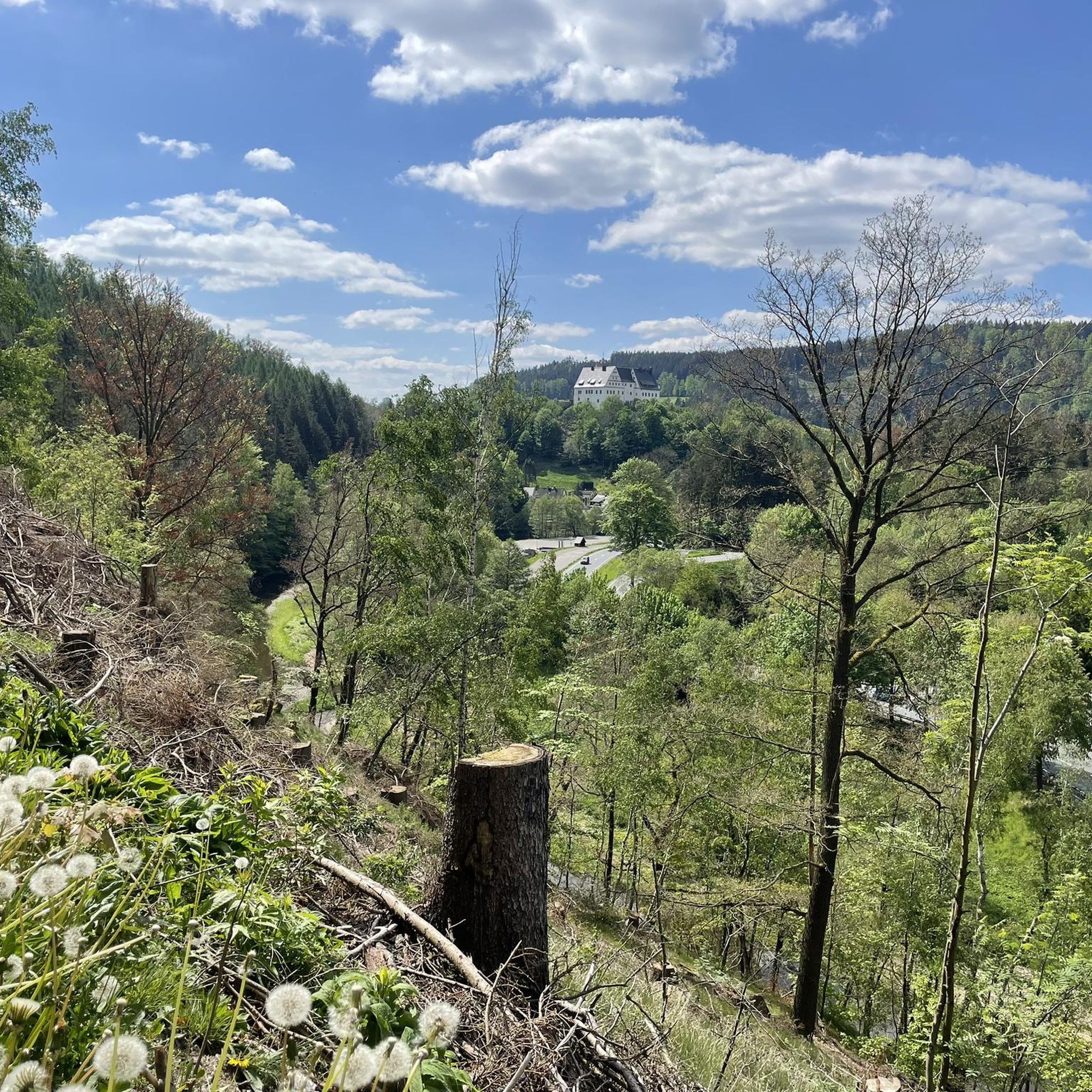
A very nice shady valley. The path leads along the stream and is also suitable for bicycles. Along the way there are always information boards and one or the other attraction to the mining history of the valley.

번역자 Google •

팁에 의해

하이킹 보기휴대폰으로 전송
저장

볼켄슈타이너 슈바이츠 전망대

하이라이트 • 전망대

The sign is located at the access point to the impressive bridge cliff.

번역자 Google •

팁에 의해

저장

이런 장소를 발견하려면 지금 가입하세요

최고의 싱글 트랙, 봉우리 및 다양한 흥미로운 야외 장소에 대한 추천을 받아보세요.

무료 회원 가입
There is also a family-friendly via ferrata here. Great backdrop.

번역자 Google •

팁에 의해

저장

알파인 트레일(남부 구간), Wolkensteiner Schweiz

하이라이트 (구간) • 트레일

Anyone who travels more often in the Alps will only smile tiredly, for hikers who otherwise only know well-developed hiking trails it will be a bit demanding. Sturdy shoes are recommended.

번역자 Google •

팁에 의해

저장

쾨닉스바흐탈

하이라이트 • 협곡

The Königsbachtal, along the stream of the same name, is only 2.4 kilometers long, but even experienced hikers are required to complete it.
In the valley, right at the entrance …

번역자 Google •

팁에 의해

저장

무료로 가입하여 드레바흐 주변의 더 많은 협곡을 발견하세요.

무료 회원 가입

이미 komoot 계정이 있나요?

오늘 무료 계정으로 시작하세요

다음 모험이 기다리고 있어요.
로그인 또는 가입하기

드레바흐 주변 인기 장소

Wandertouren - Gipfelglück

드레바흐 하이킹

드레바흐 사이클링

드레바흐 MTB 트레일

드레바흐 로드 사이클링 경로

드레바흐 러닝 트레일

드레바흐 주변 그래블 라이딩

드레바흐 등산

드레바흐 주변의 다른 모험

Wandertouren - Gipfelglück

하이킹 컬렉션 에 의해

Tourismusverband Erzgebirge e.V.

커뮤니티 팁

Silke on Tour 🏞️
5월 30, 2025, Wolkensteiner Schweiz Viewpoint

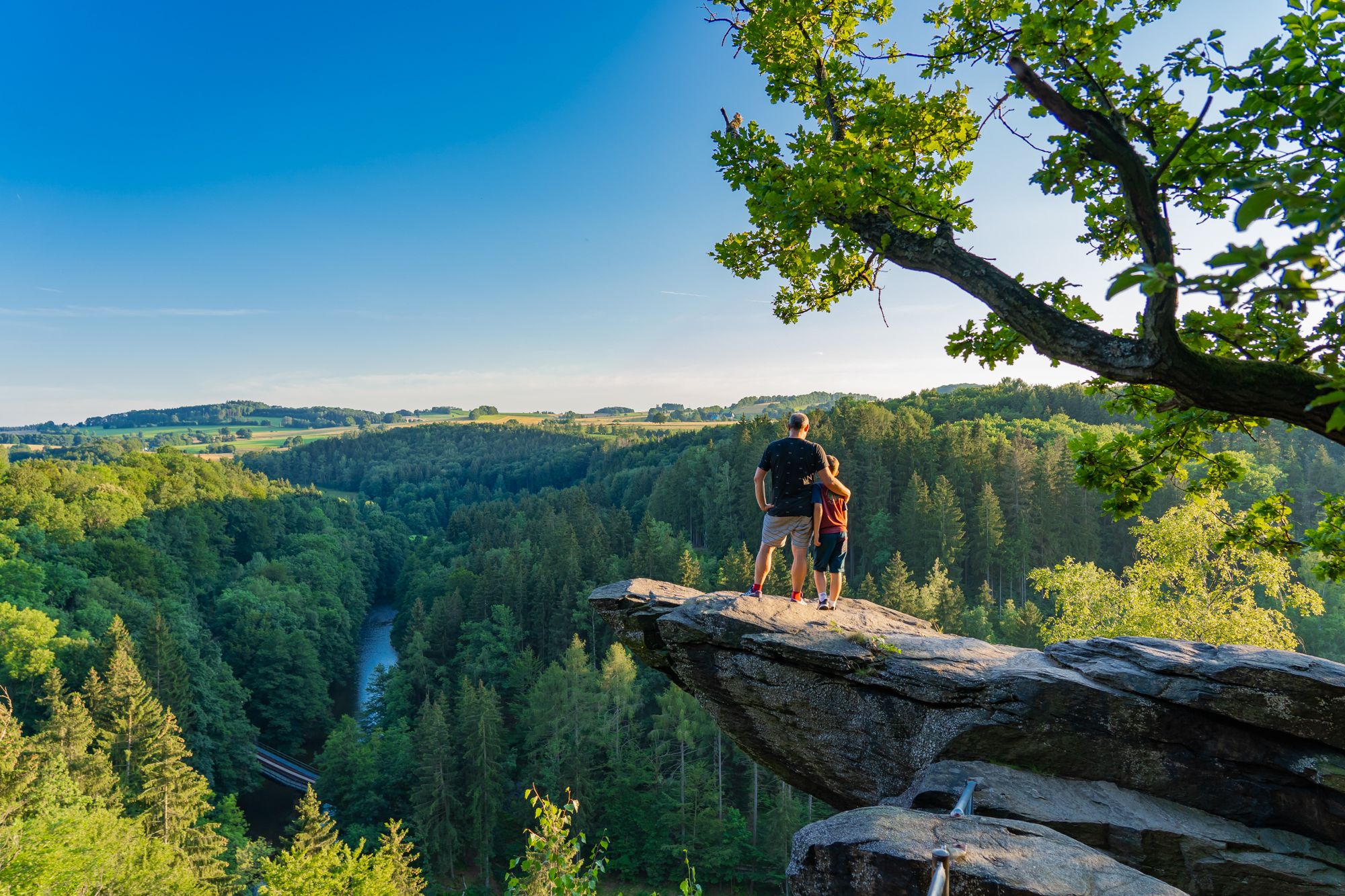
The rock massif between Wolkenstein and Floßplatz, the "Wolkenstein Switzerland", is a great place for hiking with small scrambles and wonderful views, but there are also many opportunities for climbing here 🙃.

번역: Google•

16

0

The origin of such a notch could be a geological fault with rock material that is more susceptible to erosion.

번역: Google•

5

2

The path through the Wolfsschlucht leads down to the river. This is also where the via ferrata starts.

번역: Google•

24

2

The deep valley with exposed gneiss is the result of the erosion of the Zschopau, which rises on the Fichtelberg and has been flowing in a northerly direction with a greater gradient since the uplift of the Ore Mountains block in the Tertiary period, and flows into the Freiberg Mulde near Döbeln. Steep, often bizarre rock faces are created on steep slopes by the increased flow speed. The most impressive formation is probably an overhanging cliff.

번역: Google•

31

1

The sign is located at the access point to the impressive bridge cliff.

번역: Google•

32

1

Steven
2월 4, 2025, Königsbachtal

a great corner, always worth a trip

번역: Google•

0

1

great corner with wonderful paths

번역: Google•

1

3

Great, easy-to-access small hiking area...

번역: Google•

0

2

드레바흐 주변에서 가장 인기 있는 경로

드레바흐 하이킹

드레바흐 주변에서 가장 인기 있는 명소

Places to see

Store rating

komoot 모바일 앱으로 영감을 받아보세요

무료 komoot 계정로 끝없는 야외 모험을 손쉽게 찾고, 맞춤 설정하며 길안내할 수 있어요.

또는

지금 komoot에 가입하세요
Store rating

더 살펴보기

이 지역에서 모든 것을 발견하셨나요? 다음 모험을 위해 드레바흐 주변의 추가 협곡을 확인해보세요:

볼켄슈타인밀데나우그로스뤼커스발데마리엔베르그포카우-렝게펠트아나베르그-부흐홀츠아이벤스톡써멀바트 비젠바트고르나우그로솔베르스도르프브라이텐브룬/에르츠게비르게뵈르니헨암츠베르크즈쇼파우파프로다슐레타우에렌프리더스도르프썸슈바르첸베르크/에르츠게베이올베른하우오버비젠탈겔레나우/에르즈게베이타넨베르크가이어라샤우-마커스바흐요한게오르겐슈타트요슈타트Schwarzwassertal보카우크로텐도르프세마탈Zschorlau그륀하이니헨슈투첸그룬부르하르트스도르프라우터-번스바흐뢰스니츠아우에슈니베르그엘터라인츠뵈니츠그륀하인-바이어펠트나쁜 슐레마

근처 어드벤처 가이드

암츠베르크 즐길거리

background

새로운 정복을 위한 준비를 하세요

무료로 가입하기
탐험하기
경로경로 플래너기능바우처 사용하이킹MTB 트레일로드 사이클링 경로바이크패킹사이트맵
앱 다운로드
소셜 미디어에서 팔로우하기

© komoot GmbH

개인 정보 보호 정책