비히텐슈타인에서 가장 멋진 6개의 협곡
비히텐슈타인에 있는 멋진 협곡 6
개를 소개해드릴게요. 아래에서 멋진 협곡을 살펴보고, 다음 비히텐슈타인 모험에 도움이 될 만한 사진, 팁, 추가 정보를 알아보세요.
마지막 업데이트: 9월 16, 2026
라나 계곡의 여울 트레일
하이라이트 • 트레일
번역자 Google •
팁에 의해

도나우라이텐 자연 보호구역(파사우에서 요헨슈타인까지)
하이라이트 • 자연 기념물
번역자 Google •
팁에 의해

이런 장소를 발견하려면 지금 가입하세요
최고의 싱글 트랙, 봉우리 및 다양한 흥미로운 야외 장소에 대한 추천을 받아보세요.
에를라우 계곡과 역사적인 석조 다리
하이라이트 (구간) • 다리
번역자 Google •
팁에 의해


Obernzell 근처 Donauleite의 암벽 (지질 명소)
하이라이트 • 자연 기념물
번역자 Google •
팁에 의해

무료로 가입하여 비히텐슈타인 주변의 더 많은 협곡을 발견하세요.
이미 komoot 계정이 있나요?
오늘 무료 계정으로 시작하세요
다음 모험이 기다리고 있어요.

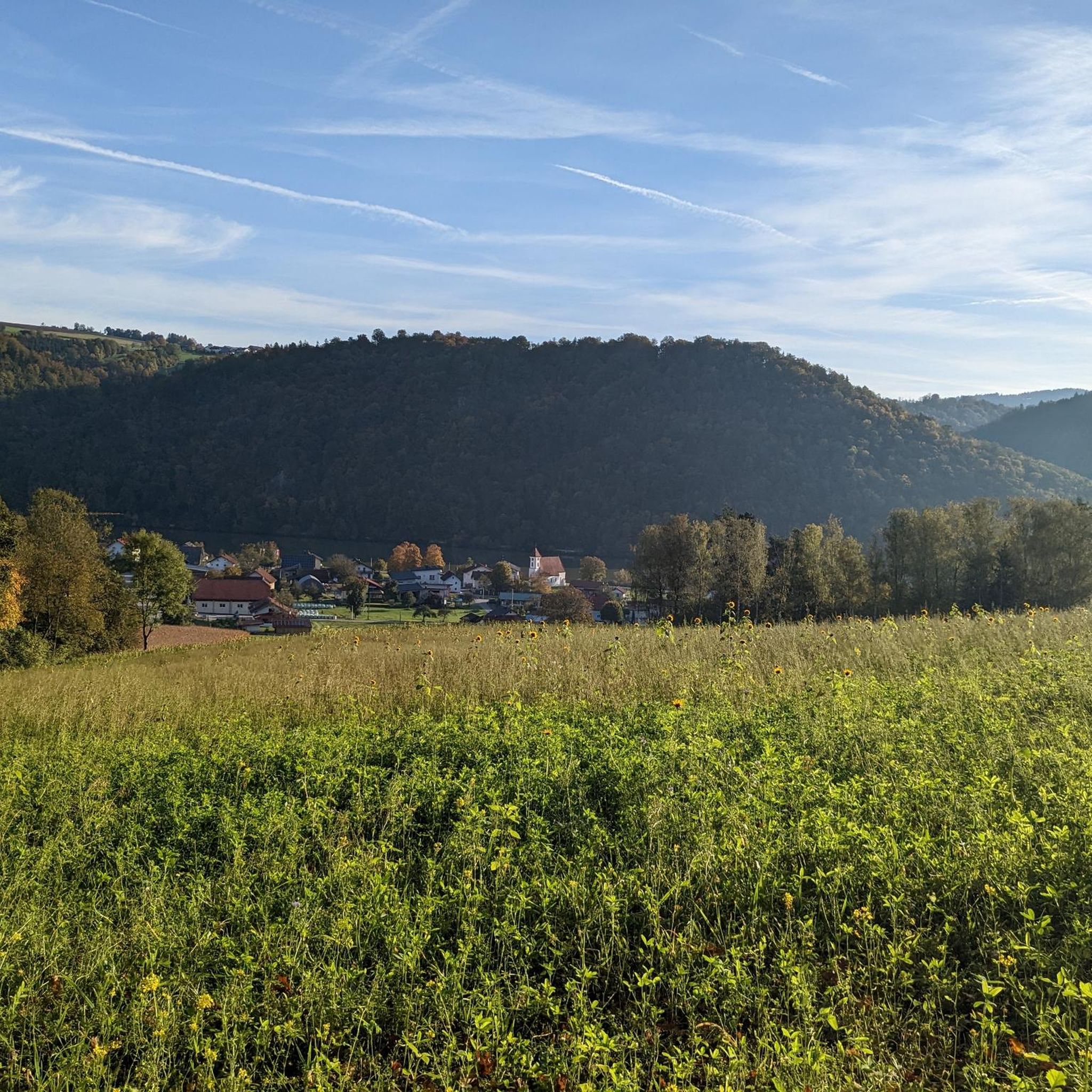
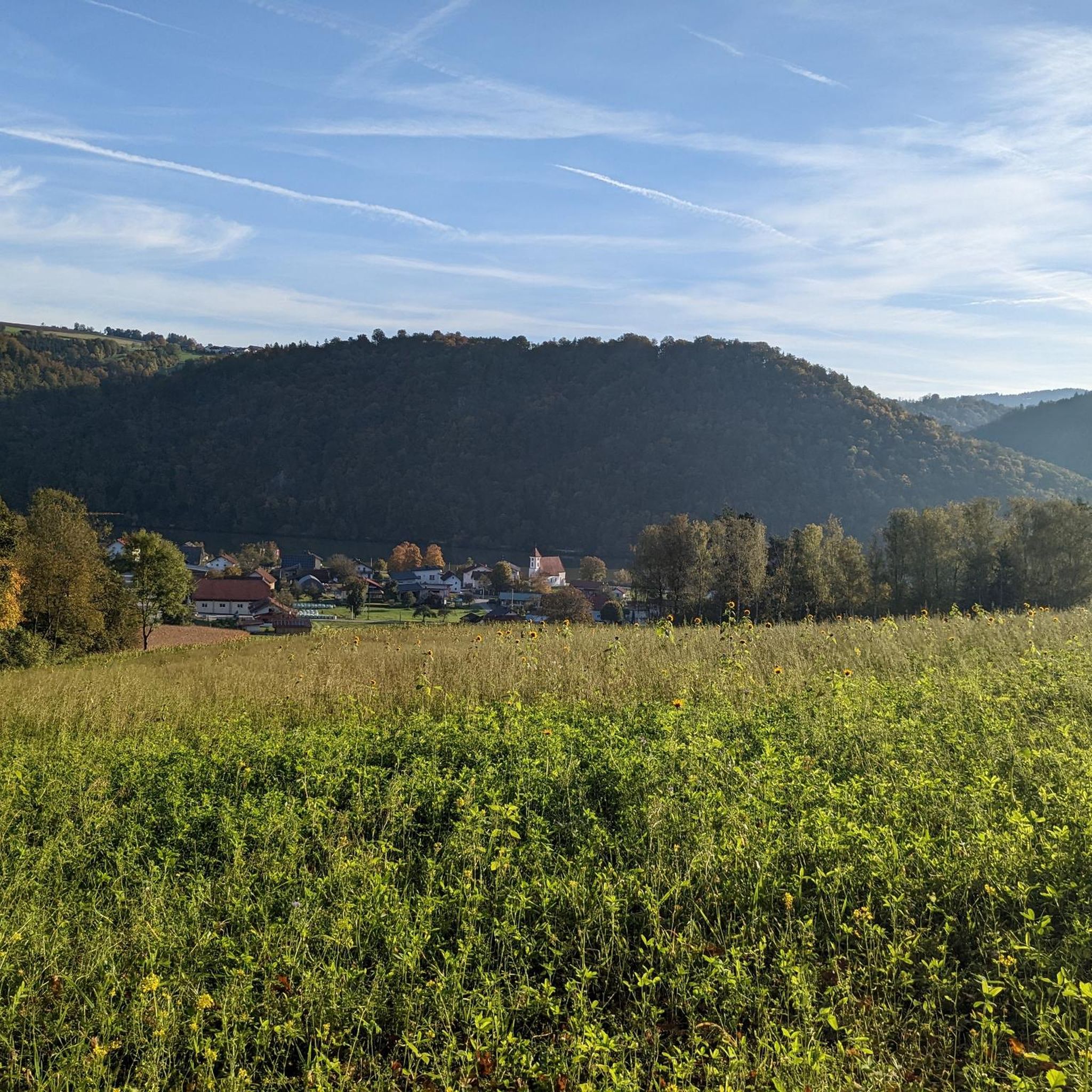
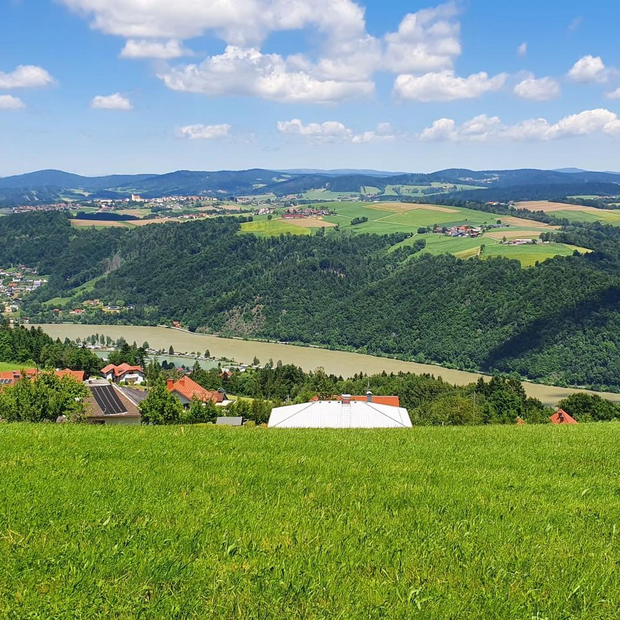
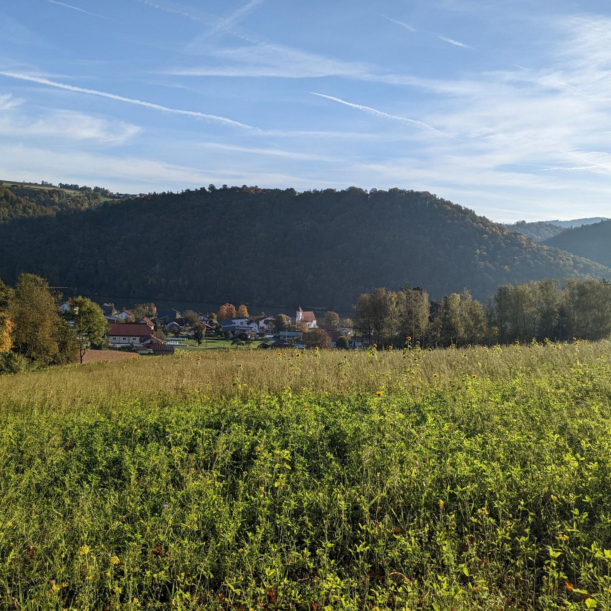

비히텐슈타인 주변의 다른 모험

커뮤니티 팁

As in the Kellberger Runde, the route goes directly up to Kapfham, left through this village, down into the Erlautal, then upstream along the Erlau through gorges to the rest area
0
0

East of Passau, the Danube has cut deep into the crystalline subsoil. The Bavarian north bank is accompanied by the 200 to 300 m high steep slopes of the Donauleite. In the outer area of river bends, on the impact slopes, these are particularly striking. The large rock face on the impact slope SE of Obernzell (lower area blasted free for the road) opens up a profile through rocks of the colorful group with differently formed gneiss alternating with calc-silicate rock. Bavarian State Office for the Environment (LfU). Further information: https://www.umweltatlas.bayern.de/standortauskunft/rest/reporting/sb_geotope/generate?additionallayerfieldvalue=275R011
0
0

From Passau to Jochenstein: The Donauleiten are a nature reserve due to their unique flora and fauna as well as the outstanding beauty and uniqueness of the Danube valley. Steep south-facing slopes interrupted by side valleys with heat-loving oak and beech forests, open rock faces made of silicate rock and scree as high-quality dry locations, gorge and wet forests rich in hardwoods in the side valleys (Dobeln), some of which are formed as forest ravines, very rare reptile species and plants from the narrow Alpine foothills, e.g. the cyclamen. Of the many rare animal species, the Aesculapian snake and the green lizard are mentioned here as examples. Source: https://www.bayerischer-wald.de/attraktion/naturschutzgebiet-donauleiten-fd24cc559a
1
0

great hiking trail in both directions
2
0

Nice old bridge in the middle of the forest
1
0

In spring and autumn it will be even more beautiful than today. However, the trail is not recommended after heavy rainfall. There is then the possibility that the power plant operators have to drain water, then the two stream crossings are certainly not to be crossed.
2
0

The Rannatalweg is designed as a round trip with mostly a few centimeters flooded fords where you have to cross the Ranna. The hiking trail leads to the bottom of the Ranna valley and on through the Ranna gorge valley. Since there are only short, steeper climbs to be mastered, this path is also suitable for families with children, the highest point is 583 m. Source: bergwelten
2
1

If you are not too fine to carry your bike for a while, the way is a very nice bike route. :-) However, more for mountain bikes, but in principle also suitable for normal touring bikes. (But then with slightly longer sliding passages)
1
0
비히텐슈타인 주변에서 가장 인기 있는 명소


더 살펴보기
이 지역에서 모든 것을 발견하셨나요? 다음 모험을 위해 비히텐슈타인 주변의 추가 협곡을 확인해보세요:
