슐라트에서 가장 멋진 3개의 산 정상
슐라트의 산 정상에 오르면 이 지역의 아름다운 모습을 제대로 구경할 수 있어요. 다만, 3
곳이나 되는 산 정상 중에서 어떤 곳을 가야 할 지 고민된다는 게 문제죠. 슐라트에서 가장 멋진 산 정상을 살펴본 후에 마음에 드는 산 정상을 다음 모험 계획에 추가해보세요.
마지막 업데이트: 7월 23, 2026
Krailberg 정상 십자가 (504m)
하이라이트 • 정상
번역자 Google •
팁에 의해

크라일베르크 정상 및 측량 지점
하이라이트 • 정상
번역자 Google •
팁에 의해

이런 장소를 발견하려면 지금 가입하세요
최고의 싱글 트랙, 봉우리 및 다양한 흥미로운 야외 장소에 대한 추천을 받아보세요.
무료 회원 가입
크라일베르크 정상(504m) – 벨스란트 구의 최고 지점
하이라이트 • 정상
번역자 Google •
팁에 의해
Römerberg에서 정상 표지석과 함께하는 파노라마 전망
하이라이트 • 전망대
번역자 Google •
팁에 의해
존라이트엔회에 514m
하이라이트 • 정상
번역자 Google •
팁에 의해

오늘 무료 계정으로 시작하세요
다음 모험이 기다리고 있어요.
로그인 또는 가입하기
커뮤니티 팁

표지판은 큰 나무 2그루 사이에 아주 숨겨져 있습니다. 전망이 있는 "정상"은 없지만, Steinhübl과 Unterpilsbach 사이에 MTB로 타기 좋은 아름다운 숲길이 있습니다 (물론 뿌리도 있습니다).
0
0

Easily accessible by bike, but only of interest to summit collectors.
0
0

Halfway point of the Krailbergrunde, good rest stop
1
0

The highest point in the Wels-Land district is on the Steindlberg at 513m. That's 9m higher than the famous Krailberg.
1
0
The actual summit/surveying point is about 100m north of the summit cross and is recognizable by a marker stone
0
0
Coming from the south (vineyard), enter the forest, then turn left (do not go around the forest to the southwest, it will be difficult there), from the north (staffel) there are 2 steeper paths leading up, we used the left one around the outside, at the top it is then comfortably flat in the forest to the summit cross
0
0
Coming from the south (vineyard), enter the forest, then turn left (do not go around the forest to the southwest, it will be difficult there), from the north (staffel) there are 2 steeper paths leading up, we used the left one around the outside, at the top it is then comfortably flat in the forest to the summit cross
1
0
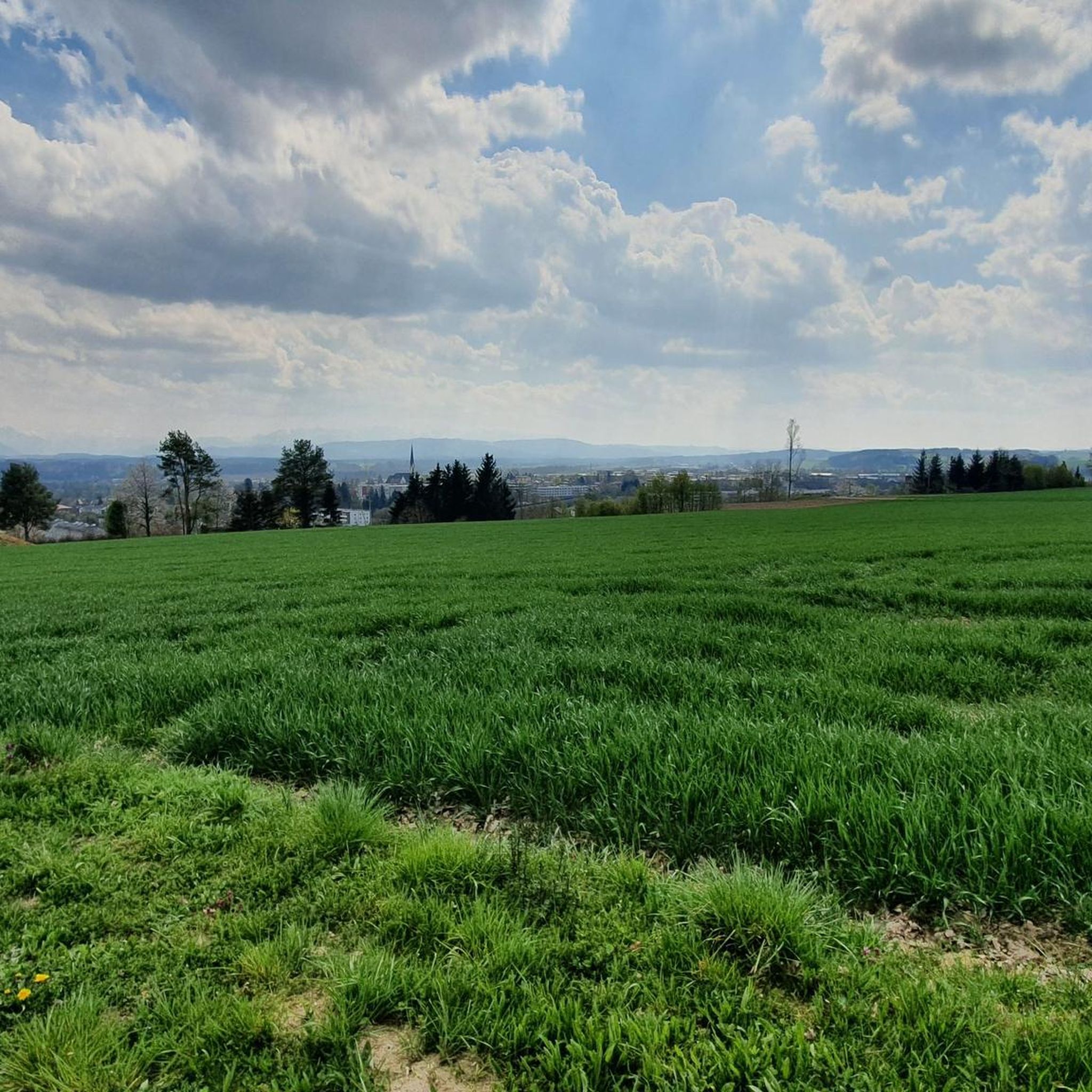
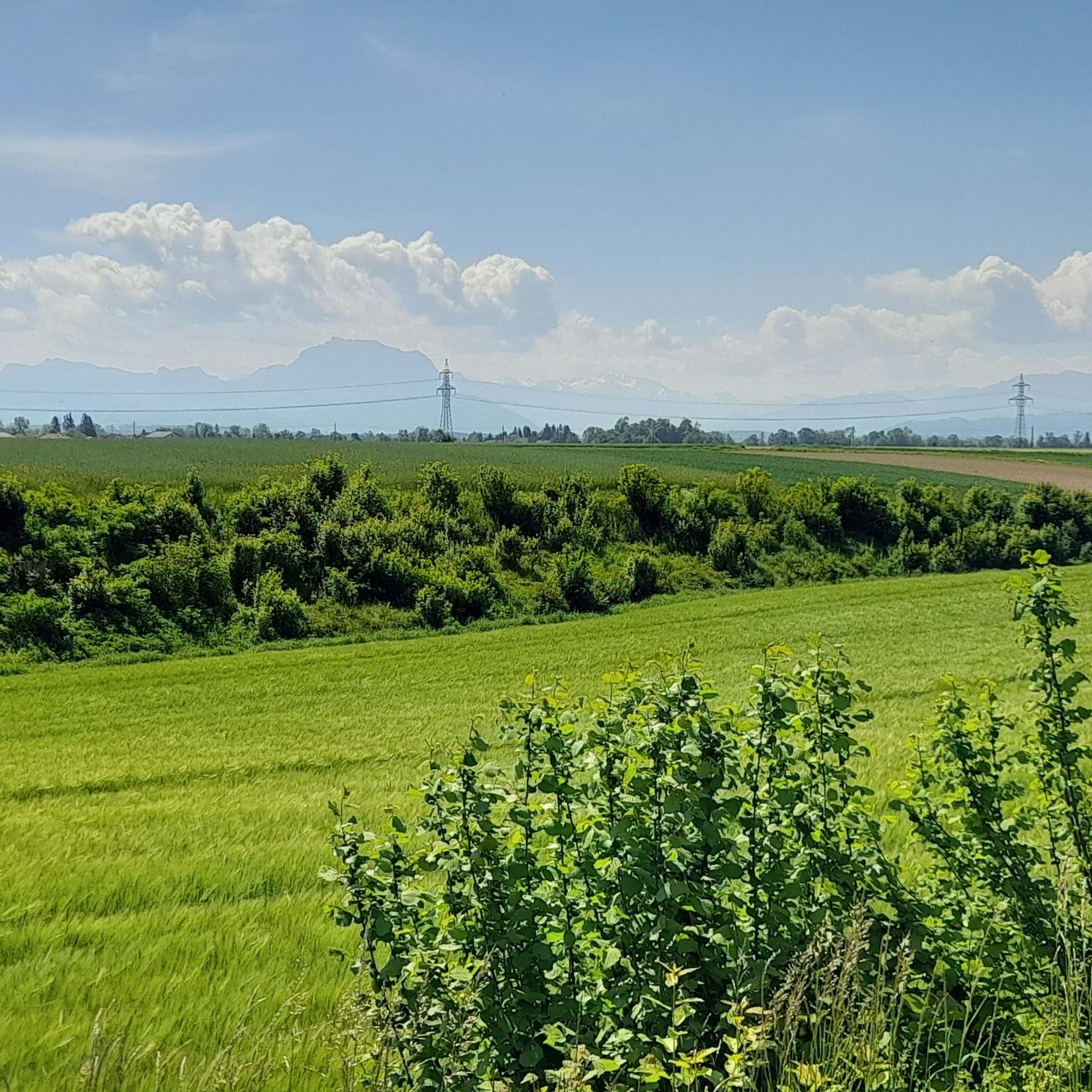
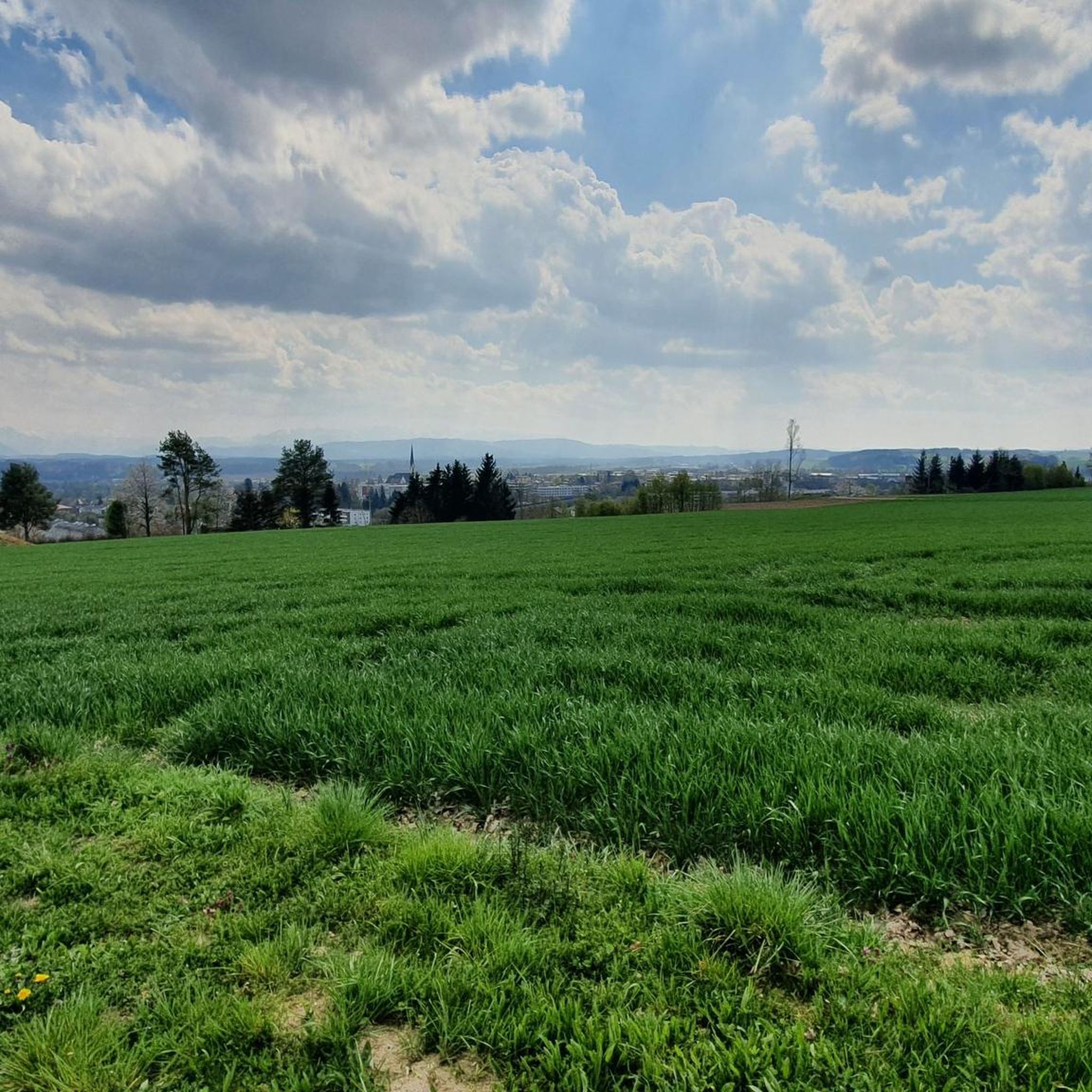
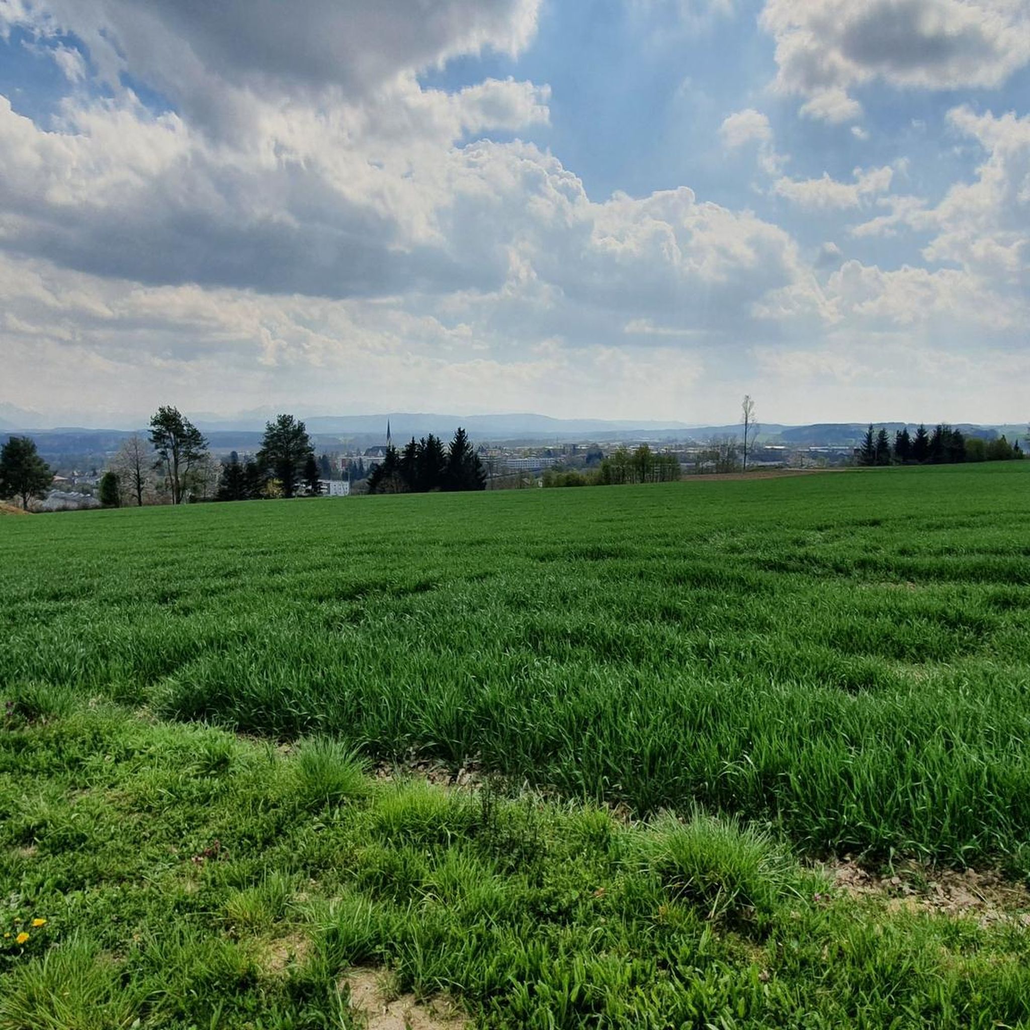
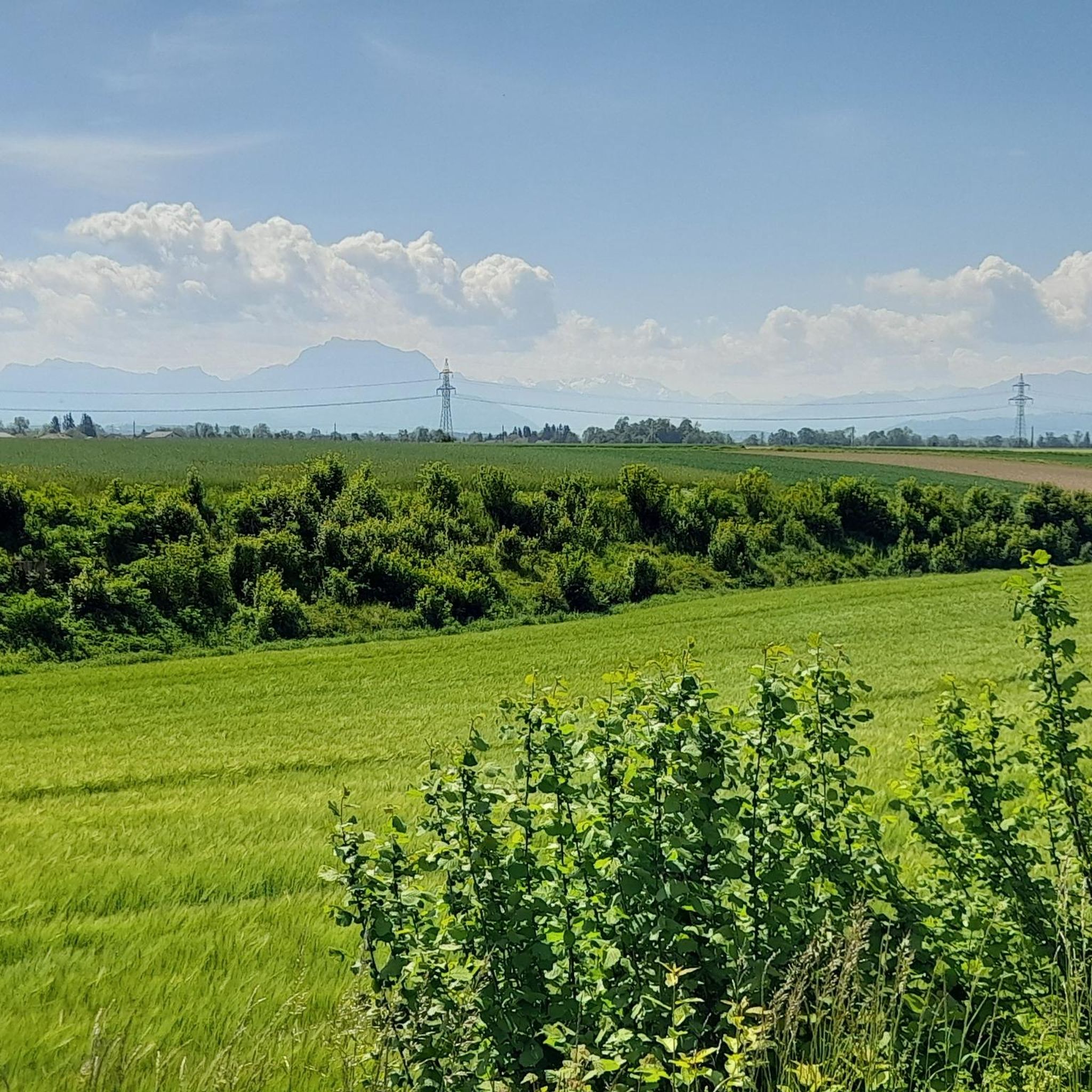
The vantage point on the Römerberg offers a wonderful view of the Alpine panorama with Schwanenstadt in the foreground. The panorama stone helps to identify the peaks.
1
0
슐라트 주변에서 가장 인기 있는 명소


더 살펴보기
이 가이드를 통해 슐라트 주변의 더 놀라운 정상들을 확인해보세요:
