베레 레지스에서 가장 멋진 5개의 산 정상
베레 레지스의 산 정상에 오르면 이 지역의 아름다운 모습을 제대로 구경할 수 있어요. 다만, 5
곳이나 되는 산 정상 중에서 어떤 곳을 가야 할 지 고민된다는 게 문제죠. 베레 레지스에서 가장 멋진 산 정상을 살펴본 후에 마음에 드는 산 정상을 다음 모험 계획에 추가해보세요.
마지막 업데이트: 9월 19, 2026
Woolsbarrow 힐포트
하이라이트 • 역사적 장소
팁에 의해

팁에 의해

이런 장소를 발견하려면 지금 가입하세요
최고의 싱글 트랙, 봉우리 및 다양한 흥미로운 야외 장소에 대한 추천을 받아보세요.
스페티스버리 링 삼각점
하이라이트 • 전망대
팁에 의해

화이트웨이 힐 삼각점
하이라이트 • 자연 기념물
팁에 의해

포빙턴 힐에서 바라본 전망
하이라이트 • 자연 기념물
팁에 의해

무료로 가입하여 베레 레지스 주변의 더 많은 봉우리를 발견하세요.
이미 komoot 계정이 있나요?
오늘 무료 계정으로 시작하세요
다음 모험이 기다리고 있어요.
커뮤니티 팁

봉우리 정복을 한다면 단연코 가장 쉬운 삼각점입니다. 아, 왜 모두 이렇게 간단하지 않을까요.
0
0
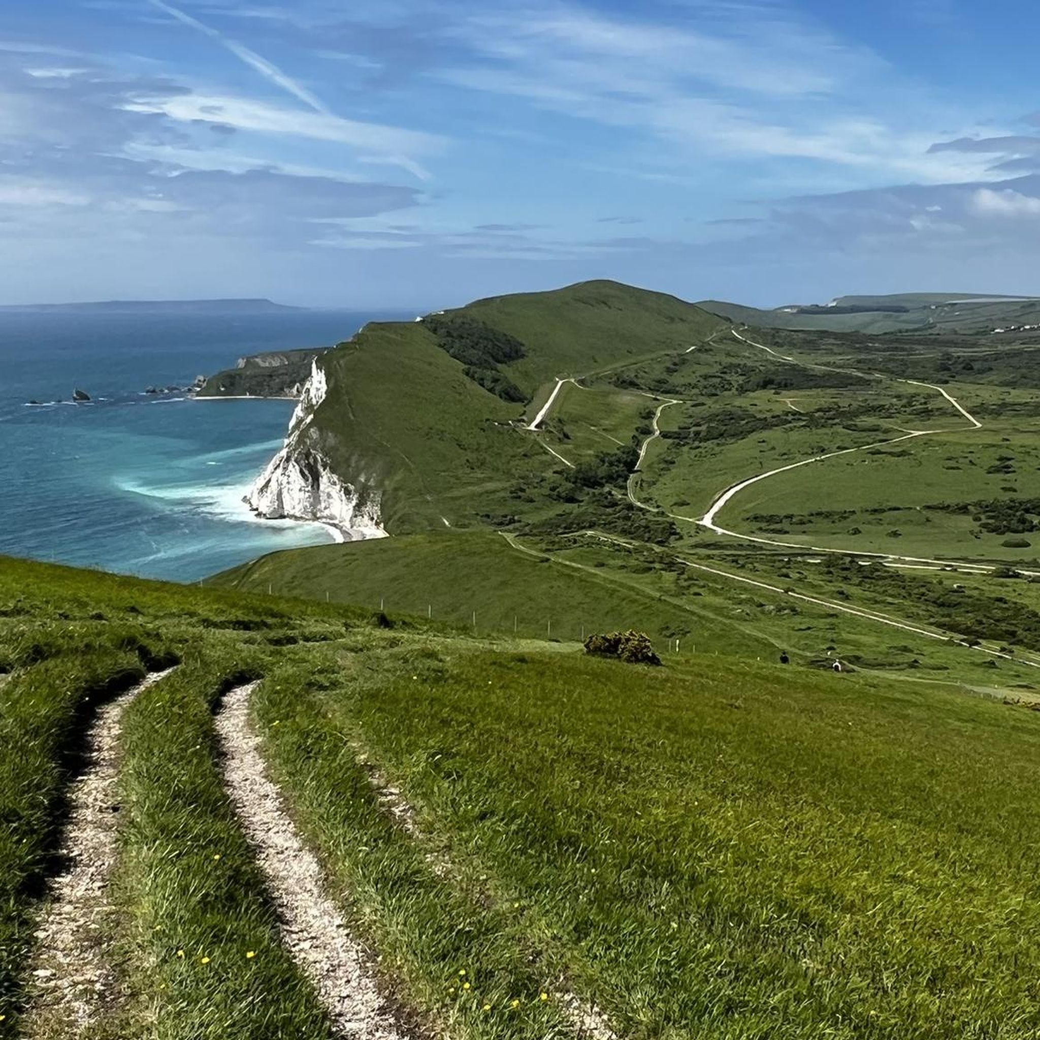
Povington Hill에서 바라보는 풍경은 너무나도 공격적으로 아름다워서 거의 자랑하는 수준입니다. 마치 심판하는 신처럼 유령 마을 Tyneham을 내려다보며, 작은 유령 농부가 고개를 들어 세금 감면을 요청할 것만 같습니다.
0
0
The trig point at Spetisbury Rings is a distinctive feature located on the summit of the ancient Iron Age hillfort, offering excellent panoramic views of the surrounding Dorset countryside and the Stour Valley. Location: The trig point is situated on the highest point of Spetisbury Rings (also historically known as Crawford Castle), an Iron Age hillfort just south of the village of Spetisbury, Dorset. Purpose: A trigonometrical station (or "trig point") is a concrete pillar used by the Ordnance Survey (OS) for the triangulation of Great Britain. They mark a point of high elevation and visibility, which is why they are often found on the summits of hills and mountains. Elevation: The hillfort's summit, where the trig point is located, reaches an elevation of approximately 81 metres (266 feet) above sea level.
0
0

Beautiful landscape, perfect for lovely, nature-based hikes.
0
0

Stunning panoramic views from the trig check out the the Shack nearby for a good pint afterwards
0
0
Nice walking area and the shack has food and drink 😋 🍺
0
0

At 650 feet (198 metres), Povington Hill is one of the highest of the Purbeck Hills. Views extend to Worbarrow Bay, the abandoned village of Tyneham, St. Aldhelm’s Head, Swyre Head and the English Channel beyond Gad Cliff to the south.
0
0
This will give you a really good leg workout, and get your lungs pumping. regardless of what side you are attacking it from. But the views are definitely worth it.
0
0
베레 레지스 주변에서 가장 인기 있는 명소


더 살펴보기
이 가이드를 통해 베레 레지스 주변의 더 놀라운 정상들을 확인해보세요:
