이스트 스토크에서 가장 멋진 6개의 산 정상
이스트 스토크의 산 정상에 오르면 이 지역의 아름다운 모습을 제대로 구경할 수 있어요. 다만, 6
곳이나 되는 산 정상 중에서 어떤 곳을 가야 할 지 고민된다는 게 문제죠. 이스트 스토크에서 가장 멋진 산 정상을 살펴본 후에 마음에 드는 산 정상을 다음 모험 계획에 추가해보세요.
마지막 업데이트: 8월 22, 2026
Woolsbarrow 힐포트
하이라이트 • 역사적 장소
팁에 의해

스와이어 헤드에서 바라본 전망
하이라이트 • 자연 기념물
팁에 의해

이런 장소를 발견하려면 지금 가입하세요
최고의 싱글 트랙, 봉우리 및 다양한 흥미로운 야외 장소에 대한 추천을 받아보세요.
무료 회원 가입
팁에 의해

화이트웨이 힐 삼각점
하이라이트 • 자연 기념물
팁에 의해

포빙턴 힐에서 바라본 전망
하이라이트 • 자연 기념물
팁에 의해

무료로 가입하여 이스트 스토크 주변의 더 많은 봉우리를 발견하세요.
무료 회원 가입
이미 komoot 계정이 있나요?
오늘 무료 계정으로 시작하세요
다음 모험이 기다리고 있어요.
로그인 또는 가입하기
커뮤니티 팁

봉우리 정복을 한다면 단연코 가장 쉬운 삼각점입니다. 아, 왜 모두 이렇게 간단하지 않을까요.
0
0
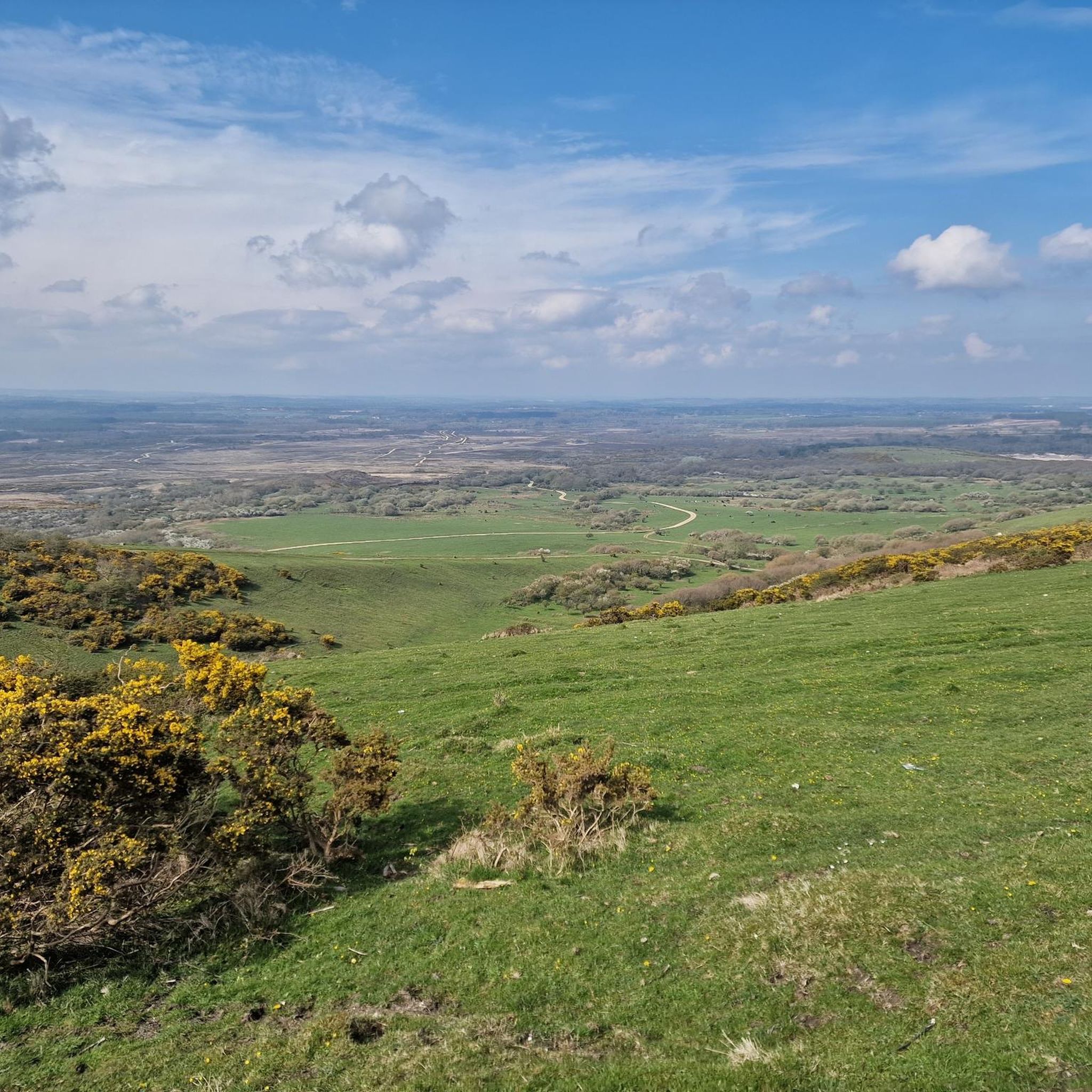
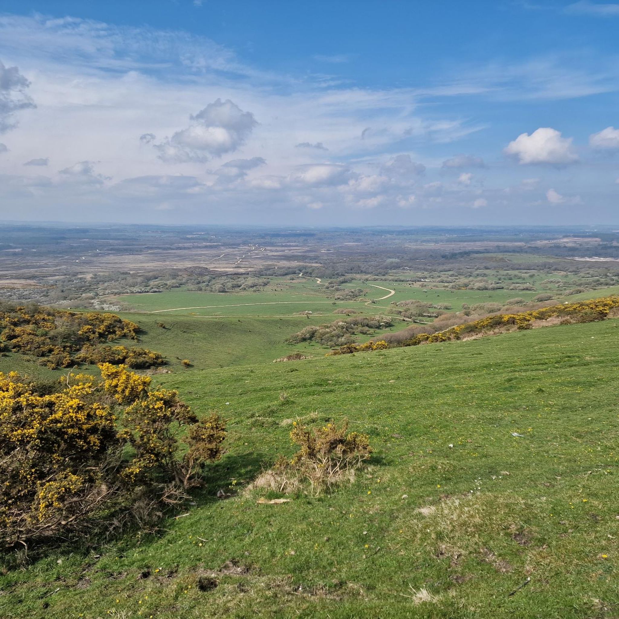
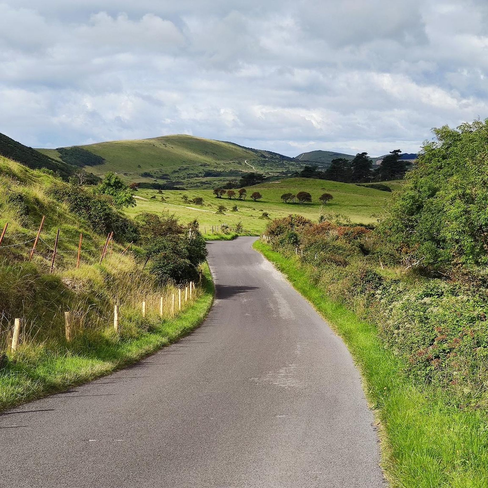
Povington Hill에서 바라보는 풍경은 너무나도 공격적으로 아름다워서 거의 자랑하는 수준입니다. 마치 심판하는 신처럼 유령 마을 Tyneham을 내려다보며, 작은 유령 농부가 고개를 들어 세금 감면을 요청할 것만 같습니다.
0
0

Beautiful landscape, perfect for lovely, nature-based hikes.
0
0

At 650 feet (198 metres), Povington Hill is one of the highest of the Purbeck Hills. Views extend to Worbarrow Bay, the abandoned village of Tyneham, St. Aldhelm’s Head, Swyre Head and the English Channel beyond Gad Cliff to the south.
0
0
This will give you a really good leg workout, and get your lungs pumping. regardless of what side you are attacking it from. But the views are definitely worth it.
0
0

Swyre Head is the highest point of the Isle of Purbeck in Dorset, on the south coast of England. The hill Swyre Head lies about 2 kilometres southwest of the village Kingston, about 5 kilometres south of Corfe Castle and 8 kilometres west of Swanage. Although not very high, its relative height is such that it just misses qualification as a Marilyn. The hill consists of Jurassic Formations and is not part of the extensive Southern England Chalk Formation. Swyre Head by Kingston should not be confused with another Dorset hill called Swyre Head, at an elevation of 322 ft, on the coast, located to the west of Durdle Door. The two Swyre Heads are about four hours walk apart from each other; that is 11 miles. The hill commands extensive views, including west past the Isle of Portland to Dartmoor, and east to the Isle of Wight, as well as north across the Purbeck Hills to Poole Harbour and the other Purbeck Marilyn, Nine Barrow Down. To the west, the folly of Clavell Tower can also be seen. Set back about half a mile from the coast, the hill is not on the South West Coast Path, but can be reached easily from the villages of Kingston or Kimmeridge. The hill has a trig point marked as 203 metres on Ordnance Survey maps, but a tumulus, now fully grassed over, forms the highest point, 208 metres (682 ft) above sea level.
0
0

This spectacular and unspoilt coastal scene on the South West Coast Path is a favourite! The view looks southeast and is taken on the descent from the towering Rings Hill (165 m, 541 ft). The vista shows the pretty Warbarrow Bay, Warbarrow Tout (the limestone hill that protrudes into the sea on the southern edge of Warbarrow Bay), the peaceful green Tyneham Valley that meets the sea at Warbarrow Bay, and Gold Down (the grass ridge to the south of Tyneham Valley). This area is seldom busy and yet rivals the nearby Lulworth Cove and Durdle Door for quality of scenery. Be careful on the descent from Rings Hill as the path is steeper than it looks! If you are climbing Rings Hill from Warbarrow Bay the effort is definitely worth it.
1
0
이스트 스토크 주변에서 가장 인기 있는 명소


더 살펴보기
이 가이드를 통해 이스트 스토크 주변의 더 놀라운 정상들을 확인해보세요:
