빌라비시오사 데 코르도바 주변 최고의 그래블 라이딩 코스
5.0
(2)
47
자전거 타는 사람
7
라이딩
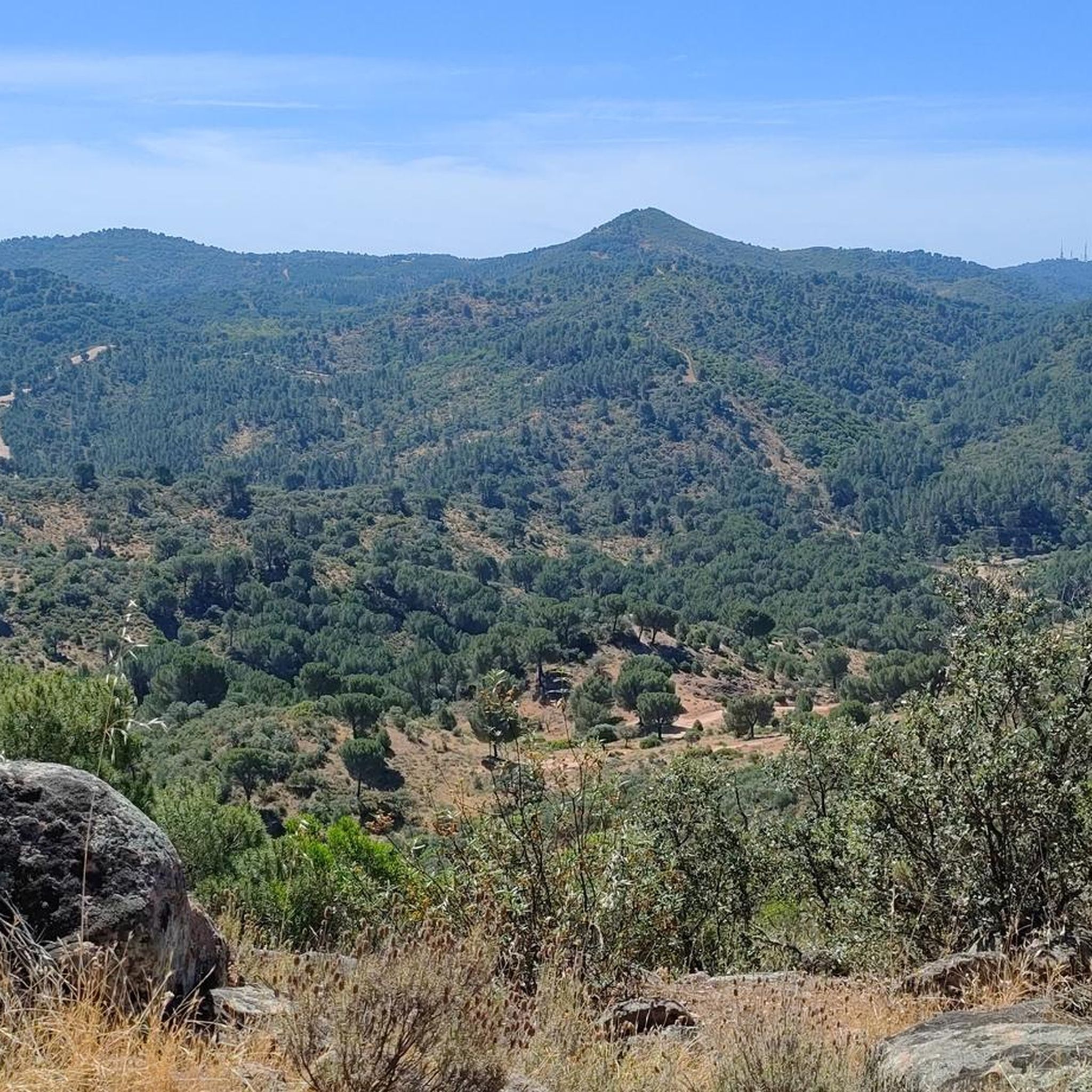
그래블 바이크를 타고 빌라비시오사 데 코르도바 주변을 달리면 시에라 모레나 산맥 내에서 다양한 지형을 경험할 수 있습니다. 구불구불한 언덕, 울창한 지중해 숲, 상당한 고도 변화가 특징인 이 지역은 사이클리스트에게 다양한 코스를 제공합니다. 주요 자연 명소로는 그림 같은 코스와 어우러진 푸엔테 누에보 저수지와 그늘진 길을 제공하는 광활한 삼림 지대가 있습니다. 이 지역은 자연 생태계와 다양한 지형으로 특징지어집니다.
빌라비시오사 데 코르도바 주변 최고의 그래블 바이크 코스
- 가장 인기 있는 그래블 바이크 코스는 디스트리토 노르테 시에라에서 출발하는 산 로렌조 교회 – 코르도바 모스크…
마지막 업데이트: 8월 21, 2026
13
자전거 타는 사람
23.1km
01:43
350m
350m
보통 자갈길 타기. 좋은 체력 필요. 대부분 포장된 지면. 실력과 관계없이 누구나 갈 수 있음.
5
자전거 타는 사람
95.6km
07:50
1,690m
1,690m
어려운 자갈길 타기. 우수한 체력 필요. 대부분 포장된 지면. 실력과 관계없이 누구나 갈 수 있음.

무료 회원 가입
5.0
(2)
16
자전거 타는 사람
48.7km
03:36
980m
980m
어려운 자갈길 타기. 우수한 체력 필요. 대부분 포장된 지면. 실력과 관계없이 누구나 갈 수 있음.
4
자전거 타는 사람
31.4km
02:15
570m
570m
어려운 자갈길 타기. 우수한 체력 필요. 대부분 포장된 지면. 실력과 관계없이 누구나 갈 수 있음.
2
자전거 타는 사람
26.4km
02:00
450m
450m
보통 자갈길 타기. 좋은 체력 필요. 대부분 포장된 지면. 실력과 관계없이 누구나 갈 수 있음.
더 다양한 경로와 다른 탐험가들의 추천을 살펴보세요.
무료 회원 가입
이미 komoot 계정이 있나요?
투어 추천은 다른 사람들이 komoot에서 완료한 수천 개의 활동을 바탕으로 구성되어 있습니다.
오늘 무료 계정으로 시작하세요
다음 모험이 기다리고 있어요.
로그인 또는 가입하기
커뮤니티 팁

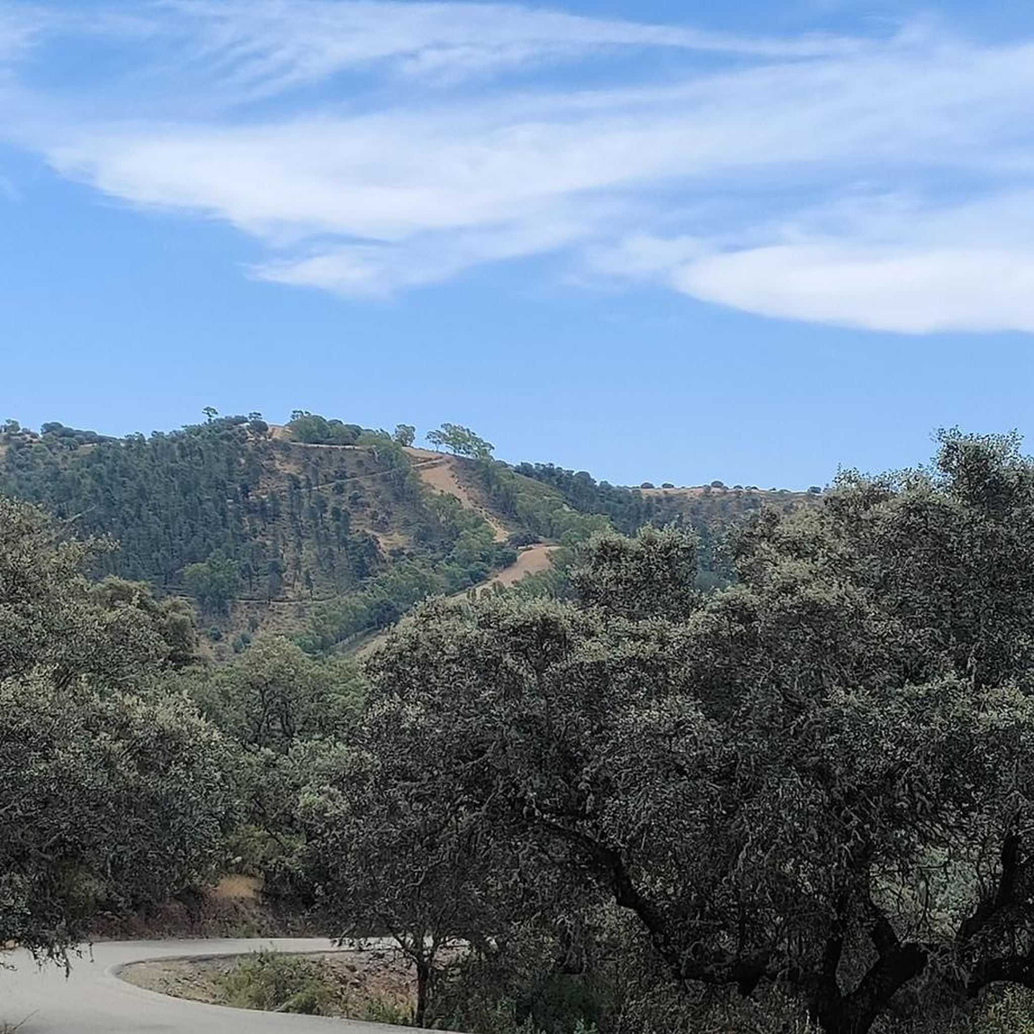
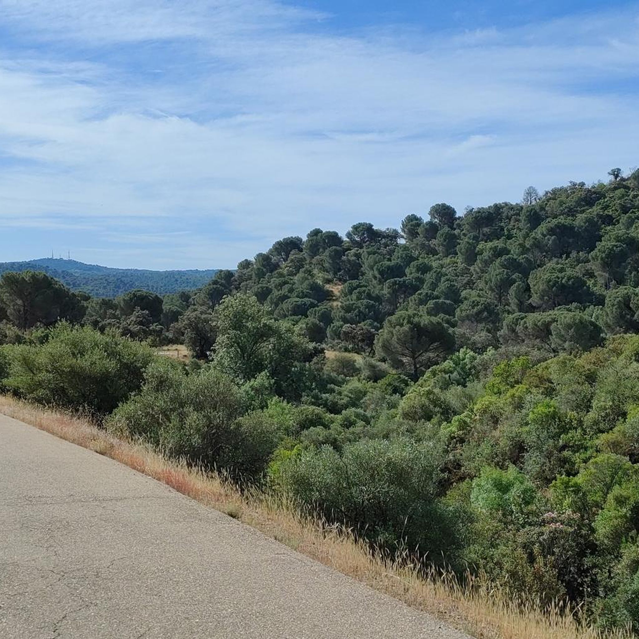
이 작은 도로는 코르도바 시에서 매우 가까운 시에라 모레나 중심부에 있습니다. 아스팔트는 아름다운 참나무 숲을 따라 구불구불 이어져 있어 사이클링에 이상적입니다. La Vuelta가 보통 이곳을 지나는 것이 그 증거입니다.
1
0

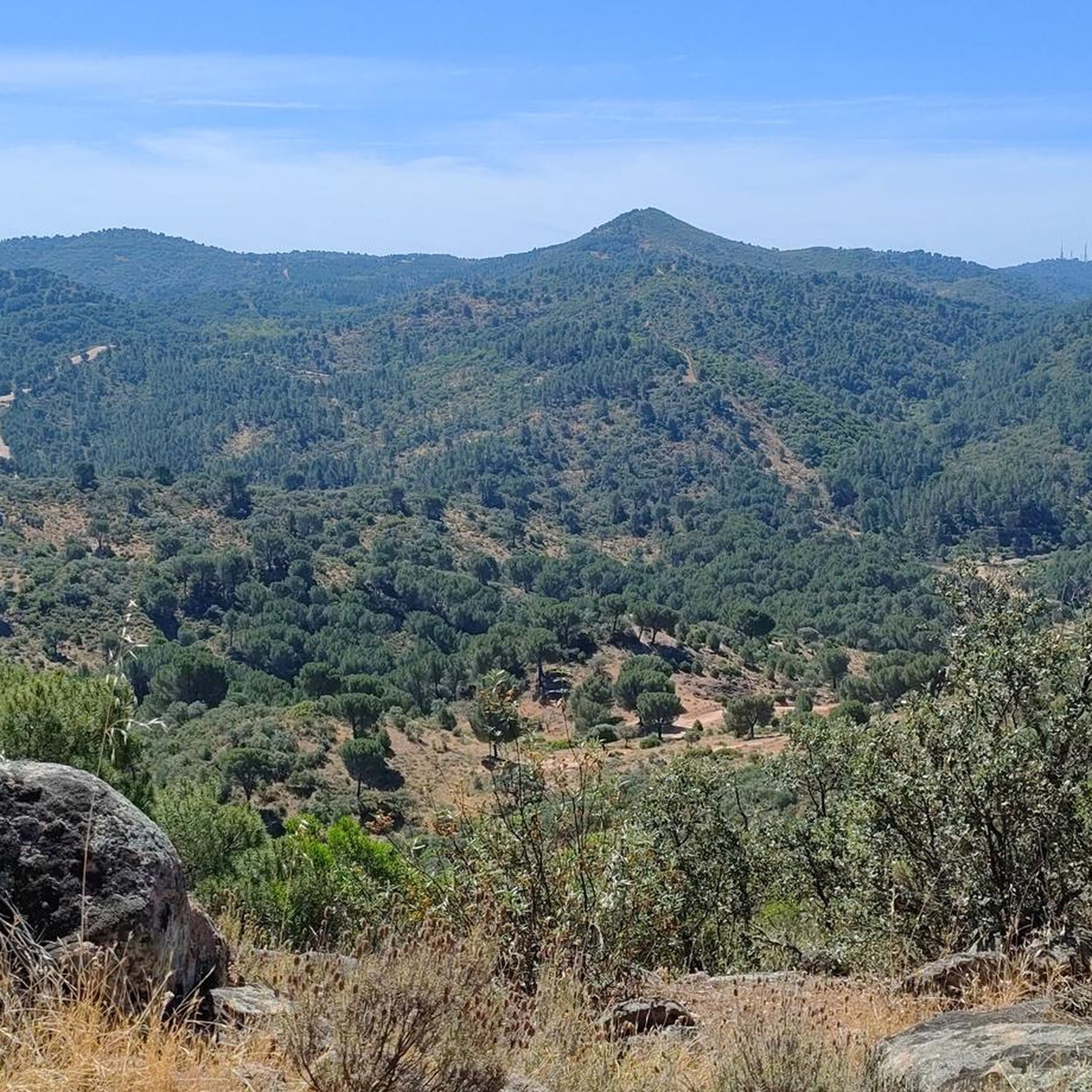
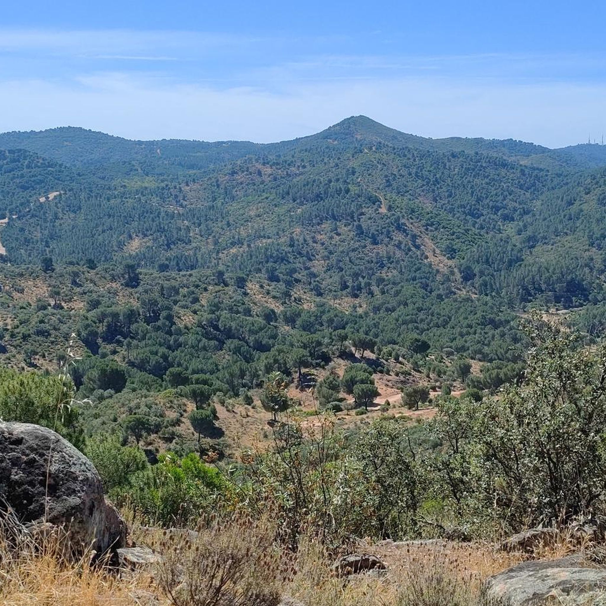
One of the most legendary climbs in the Sierra de Córdoba, well-known for both hiking and mountain biking. It's a tough, consistent climb, very popular with local cyclists and races like the Andalucía Bike Race and the Guzmán el Bueno (the latter often runs it in the opposite direction). The Cuesta del Reventón ascends towards the Ermitas de Córdoba, a classic panoramic viewpoint. It's a wide, rocky path with a steep incline, frequently used by cyclists and hikers. Approximate length: between 2.7 km (classic route) and 4.7 km depending on the mountain bike variant. Elevation gain: between 155 m and 486 m, depending on the route.
3
0

Circular route from Turruñuelos Park, Córdoba, passing through: - Torrehoria Viewpoint (19.5 km) - Torre del Beato (23.1 km) - Torre de las Siete Esquinas (24.5 km) - Bridge over the canal (29.5 km) The route begins along the Guadalmellato Canal, ascends through La Canchuela, Llanos de los Mesoneros, passes the El Cruce gas station, enters the "Fangor" forest, Torrehoria, Camino del Nuo Bajo, Torre del Beato, Torre de las Siete Esquinas, and from there descends to reach the start of the Trassierra Trail. Except for the descent from Siete Esquinas, the route, exceptionally beautiful given the recent rainfall in the mountains with runoff everywhere, follows paths without technical difficulty, making it even more appealing. It's a challenging distance but offers stunning views of the surrounding area and the city and its environs from the highest points.
0
0
The Church of San Pedro (now the Minor Basilica of San Pedro) is one of the oldest and most historic churches in Córdoba. It was built on the remains of a 4th-century basilica that housed the remains of the Cordoban martyrs Januarius, Martial, and Faustus. After the Christian conquest (1236), Ferdinand III ordered its construction between the 13th and 14th centuries, forming part of the Ferdinandine churches.
2
0
The Mosque-Cathedral of Córdoba is one of the most impressive monuments in the world, a symbol of Islamic art in the West and a UNESCO World Heritage Site since 1984. It was originally the Visigothic Basilica of San Vicente, shared by Christians and Muslims. In 784, Abd al-Rahman I began construction of the mosque, which was expanded by his successors: Abd al-Rahman II, Abd al-Rahman III, Al-Hakam II, and Almanzor. After the Christian Reconquista in 1236, it was consecrated as the Cathedral of the Assumption of Our Lady, and in 1523 a Renaissance basilica was built inside.
15
0


Located on the Caño Escaravita estate, just beyond the outlying neighborhood of Santa María de Trassierra. We found it in the western Sierra peri-urban district, next to the crossroads leading to the Ermitas and the Mirador de las Niñas, about fifteen kilometers from Córdoba. This is a zoomorphic water fountain on a pedestal from the Caliphate period, dating back to the 10th century. The sculpture represents a small elephant. Made of gray limestone from the Sierra Morena, it served as a support for the spout. The fountain is made up of three components: a water collection basin, a masonry pillar attached to it on its north side (which leads to a masonry irrigation ditch), and a rectangular pool located to the west of the canal. https://amedinacordoba.com/fuente-del-elefante/
1
0
A waterfall known as the "first spring of the Bejarano," whose water flow has always been active. There are few remains of an ancient structure from which the water flows: the aquifer catchment. The Romans knew how to harness this important spring, unique in these mountains, due to the large amount of water it provides every season (estimated at 20,000 to 35,000 m3/day). (Source: https://www.conocetusfuentes.com/ficha_detalle.php?id_fuente=10057)
1
0
자주 묻는 질문
비야비시오사 데 코르도바에는 그래블 바이크 코스가 몇 개 있나요?
비야비시오사 데 코르도바 주변에는 8개의 그래블 바이크 코스가 있습니다. 이 코스들은 중급 및 상급 옵션을 혼합하여 제공하며, 중급 코스 3개와 상급 코스 5개로 구성되어 다양한 실력 수준에 맞는 경험을 제공합니다.
비야비시오사 데 코르도바에서 그래블 바이크를 타기 가장 좋은 시기는 언제인가요?
지중해성 기후를 가진 비야비시오사 데 코르도바는 일반적으로 가장 더운 여름철을 제외하고는 그래블 바이크를 타기에 쾌적합니다. 봄과 가을은 온화한 기온과 울창한 풍경으로 이상적인 조건을 제공합니다. 겨울철도 적합할 수 있지만, 일부 코스는 더 습할 수 있습니다.
비야비시오사 데 코르도바의 그래블 코스에서는 어떤 지형을 예상할 수 있나요?
비야비시오사 데 코르도바의 그래블 코스는 시에라 모레나 산맥의 다양한 풍경을 가로지릅니다. 구불구불한 언덕, 울창한 지중해 숲, 상당한 고도 변화를 예상할 수 있습니다. 코스는 종종 숲을 통과하는 구불구불한 길과 푸엔테 누에보 저수지와 같은 자연 수역 근처의 경치 좋은 구간을 특징으로 합니다.
경험이 풍부한 라이더를 위한 도전적인 그래블 코스가 있나요?
네, 비야비시오사 데 코르도바에는 몇 가지 도전적인 그래블 코스가 있습니다. 예를 들어, 세로 무리아노에서 출발하는 아로요 베하라노 – 레벤톤 클라임 루프는 상당한 고도 상승을 포함하는 94km 이상의 상급 코스입니다. 또 다른 힘든 옵션은 로스 비야레스에서 출발하는 레벤톤 클라임 – 아로요 베하라노 루프로, 거의 1000미터의 상승과 함께 약 49km를 커버합니다.
그래블 바이크 코스를 따라 어떤 자연 지형이나 랜드마크를 볼 수 있나요?
이 지역의 많은 그래블 코스는 주목할 만한 자연 지형과 역사 유적지를 지나갑니다. 코끼리 분수, 베하라노 시냇물의 첫 번째 샘 또는 알쿠빌라 샘과 같은 다양한 샘을 만날 수 있습니다. 이 지역은 또한 몰리노 델 몰리니요와 같은 유적지와 함께 역사 유산이 풍부합니다.
그래블 바이크를 타면서 방문할 수 있는 폭포가 있나요?
네, 바뇨스 데 포페아 폭포는 이 지역의 중요한 자연 명소이며, 그래블 바이크 코스에서 또는 그 근처에서 접근 가능한 경우가 많습니다. 이 폭포들은 근처의 무어식 제재소 유적과 함께 자연의 아름다움과 역사의 독특한 조화를 제공합니다.
순환 그래블 바이크 코스가 있나요?
네, 해당 지역에는 루프로 설계된 여러 코스가 있습니다. 예를 들어, 디스트리토 노르테 시에라(Distrito Norte Sierra)에서 출발하는 산 로렌조 교회 – 모스크-코르도바 대성당 루프(San Lorenzo Church – Mosque–Cathedral of Córdoba loop from Distrito Norte Sierra)는 적당한 난이도의 23km 라이딩이며, 플라자 델 센트로 시비코(Plaza del Centro Cívico)에서 출발하는 로스 비야레스 캠핑장 – 코끼리 분수 루프(Los Villares Campsite – Elephant Fountain loop from Plaza del Centro Cívico)는 32km로 더 도전적인 코스입니다.
그래블 트레일 시작점 근처에 주차장이 있나요?
모든 트레일 시작점에 대한 구체적인 주차 정보는 제공되지 않지만, 비야비시오사 데 코르도바(Villaviciosa de Córdoba)는 '슬로우 투어리즘'을 지향하는 곳으로, 방문객을 위한 주차 시설을 포함한 편의 시설이 일반적으로 마련되어 있을 것으로 예상됩니다. 많은 코스가 세로 무리아노(Cerro Muriano)나 로스 비야레스(Los Villares)와 같은 마을이나 빌리지에서 시작되며, 이곳에서는 대중 주차 옵션을 찾을 수 있습니다.
대중교통으로 그래블 트레일에 갈 수 있나요?
비야비시오사 데 코르도바(Villaviciosa de Córdoba)는 시골 지역이며, 지역 버스 서비스가 코르도바(Córdoba)와 같은 대도시와 연결되어 있지만, 특정 외딴 트레일 시작점까지 직접적인 대중교통 접근은 제한적일 수 있습니다. 대중교통을 이용하여 출발점까지 이동할 계획이라면 사전에 지역 버스 시간표와 노선을 확인하는 것이 좋습니다.
비야비시오사 데 코르도바의 그래블 트레일에 대해 다른 그래블 라이더들은 어떻게 말하나요?
코무트(komoot) 커뮤니티는 비야비시오사 데 코르도바(Villaviciosa de Córdoba)의 그래블 라이딩 경험에 대해 별점 5.0점으로 매우 높게 평가하고 있습니다. 라이더들은 종종 이 지역의 다양한 자연 경관, 도전적이면서도 보람 있는 지형, 그리고 울창한 지중해 숲과 그림 같은 저수지를 탐험할 기회를 칭찬합니다.
가족 친화적인 그래블 라이딩 옵션이 있나요?
비야비시오사 데 코르도바(Villaviciosa de Córdoba)의 많은 코스는 고도 변화와 지형 때문에 보통에서 어려움으로 평가되지만, 일부 구간이나 짧은 루프는 나이가 있는 자녀가 있거나 오프로드 사이클링에 익숙한 가족에게 적합할 수 있습니다. 가족에게 적합한지 여부를 판단하기 위해 거리와 고도를 포함한 코스 프로필을 검토하는 것이 좋습니다.
이 지역의 더 긴 그래블 코스는 무엇인가요?
더 긴 라이딩을 원하는 분들을 위해, 세로 무리아노(Cerro Muriano)에서 출발하는 아로요 베하라노 – 레벤톤 클라임 루프(Arroyo Bejarano – Reventón Climb loop from Cerro Muriano)는 94km가 넘는 코스입니다. 또 다른 상당한 옵션은 로스 비야레스(Los villares)에서 출발하는 레벤톤 클라임 – 아로요 베하라노 루프(Reventón Climb – Arroyo Bejarano loop from Los villares)로, 약 49km를 커버합니다.
빌라비시오사 데 코르도바 주변에서 가장 인기 있는 명소


더 살펴보기
다른 지역의 최고의 그래블 라이딩를 살펴보세요.
