빈스트르 최고의 등산 경로
5.0
(4)
27
등산객
4
하이킹
빈스트르에서 하이킹하며 오플란드 구석 부분까지 살펴볼까요? 빈스트르에 있는 모든 하이킹 및 워킹 경로 컬렉션 중 가장 멋진 하이킹 경로를 엄선하여 소개해드릴게요. 다른 하이커가 공유한 실제 팁과 사진을 살펴보고 후기를 읽으며 마음에 드는 빈스트르 워킹 경로를 찾아보세요.
마지막 업데이트: 10월 11, 2026
5.0
(2)
14
등산객
7.13km
03:31
520m
520m
어려운 등산 코스. 좋은 체력 필요. 튼튼한 신발을 신고 미끄러지지 않게 조심해야 하며, 높은 산을 오른 경험이 있어야 함.
5.0
(2)
10
등산객
4.67km
02:36
420m
420m
어려운 등산 코스. 좋은 체력 필요. 튼튼한 신발을 신고 미끄러지지 않게 조심해야 하며, 높은 산을 오른 경험이 있어야 함.

3
등산객
9.02km
03:55
530m
530m
어려운 등산 코스. 좋은 체력 필요. 튼튼한 신발을 신고 미끄러지지 않게 조심해야 하며, 높은 산을 오른 경험이 있어야 함.
5.0
(1)
7
등산객
15.6km
05:21
760m
760m
어려운 등산 코스. 우수한 체력 필요. 실력과 관계없이 누구나 쉽게 갈 수 있는 길.
투어 추천은 다른 사람들이 komoot에서 완료한 수천 개의 활동을 바탕으로 구성되어 있습니다.
오늘 무료 계정으로 시작하세요
다음 모험이 기다리고 있어요.
빈스트르 주변 인기 장소
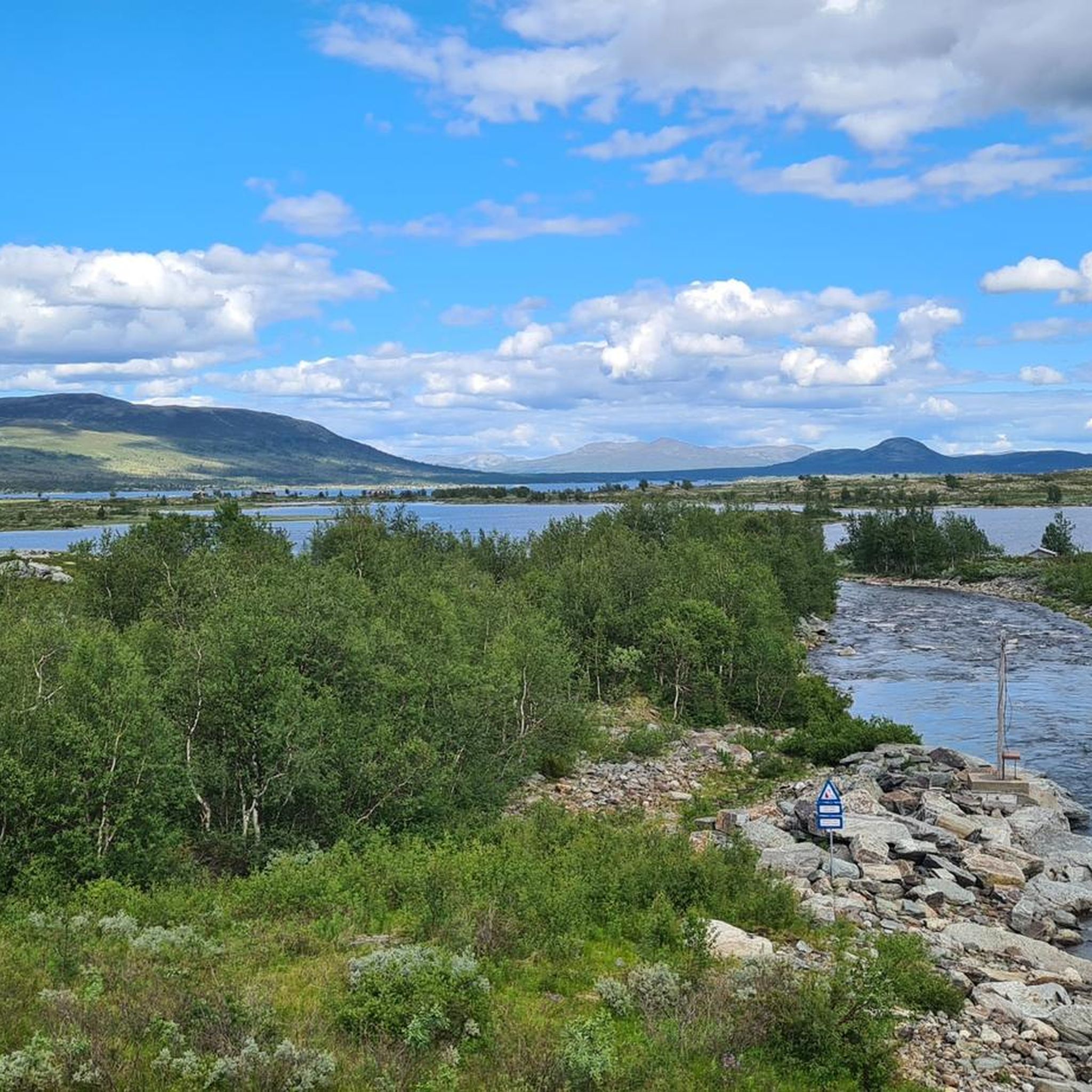
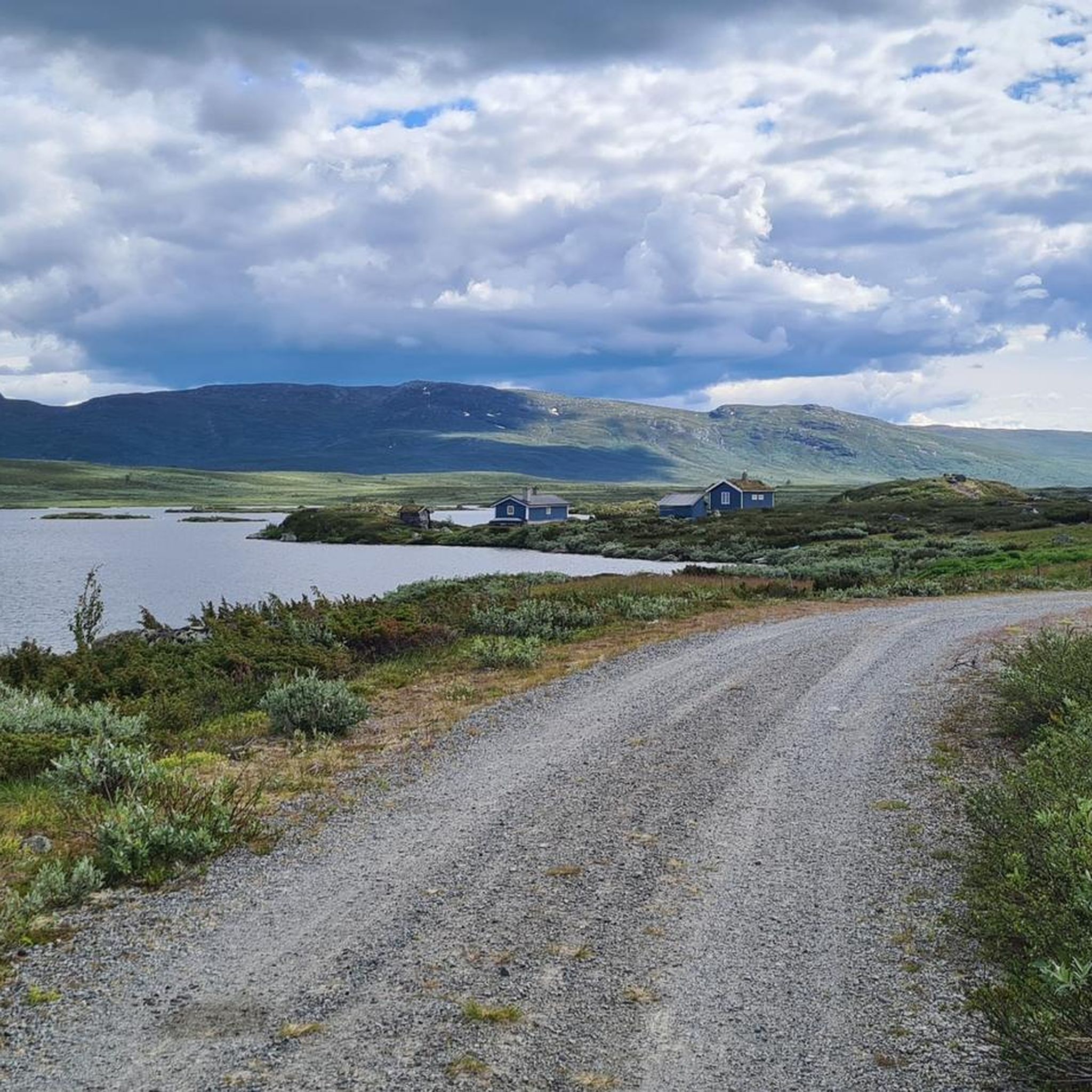
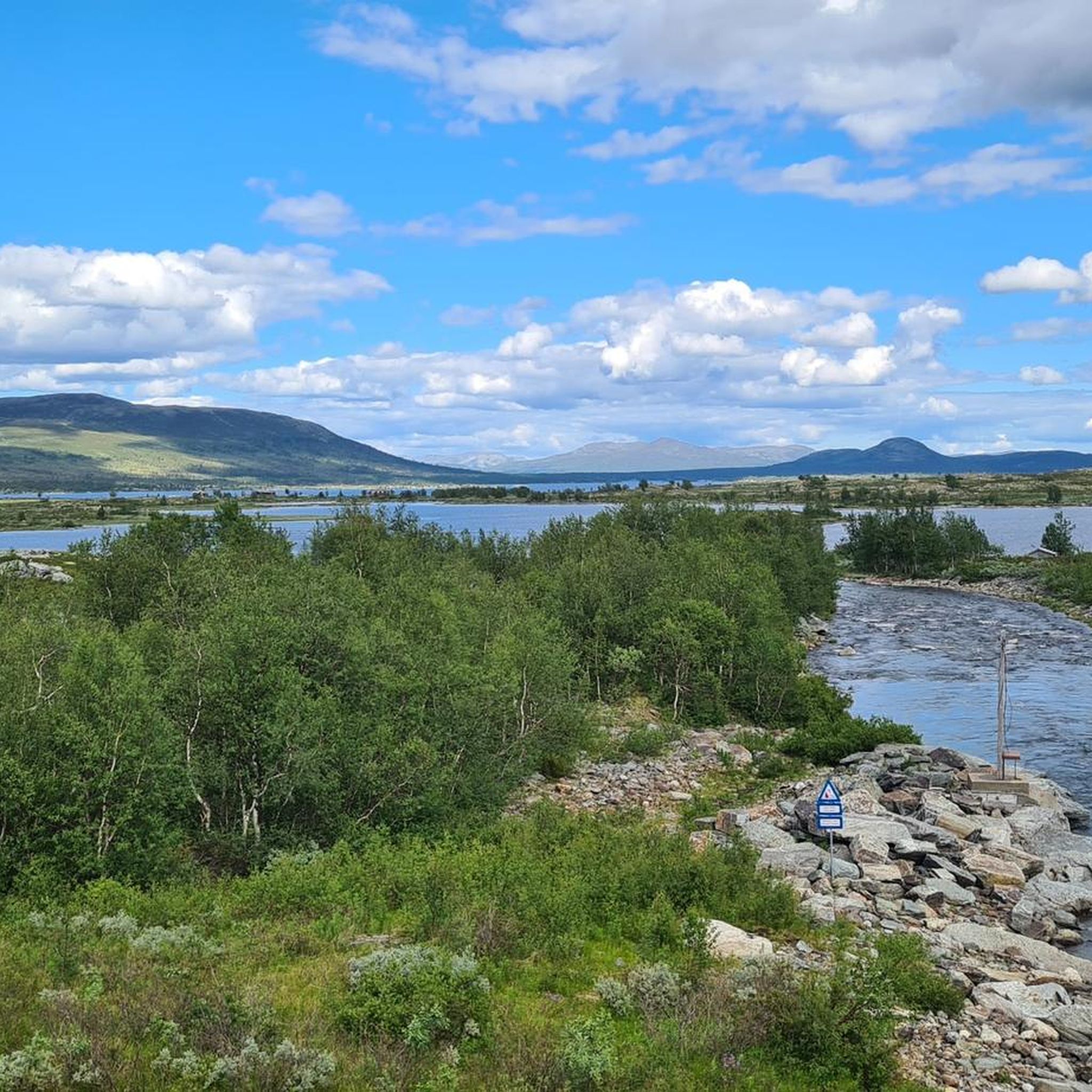
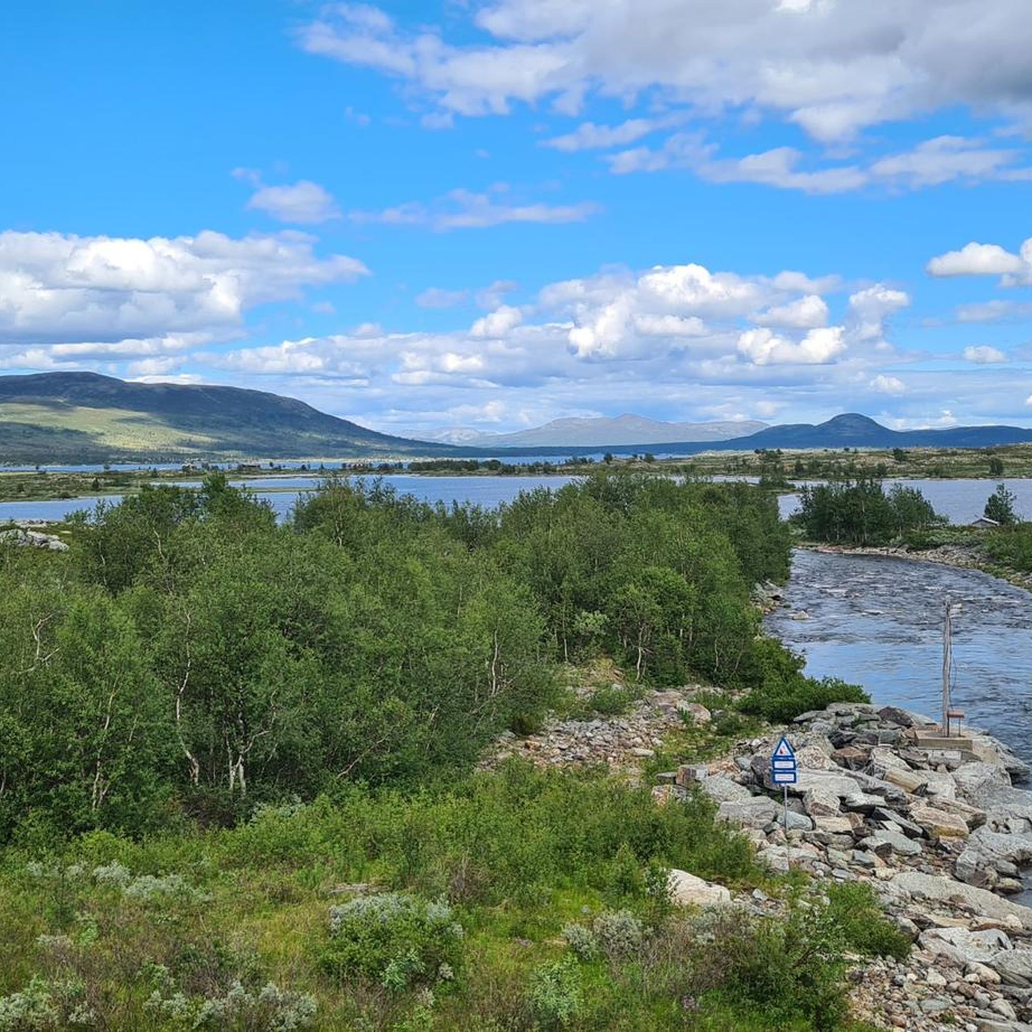
커뮤니티 팁


A fantastic mountain with a 360-degree view. The path to the north is easy and, because it's steeper, easier on the descent (easy on the knees). I would recommend ascending via the newly constructed path with steps from the south. However, there are some very exposed sections. It's not safe in wet conditions or even snow/ice.
1
1

A small lake where you can take a break and enjoy the view of the surrounding mountains.
0
0
Øystre Rasletinden is 2.010 metres high. From here you have a stunning view on glaciers.
1
0

When the weather is good, you have a wonderful panoramic view from up here. The wind can be extremely strong on this exposed mountain.
2
1

The view is indeed magnificent. The higher peaks of Jotunheimen are clearly visible on a clear day. Without major alpine experience, the ascent, even via the easy north route, is sometimes difficult, especially after the reindeer fence. In addition to the incline of over 30%, coarse scree must also be crossed. Especially when going downhill you shouldn't be afraid to use your hands for safety. But the effort is rewarded with a great all-round view.
3
1
A rewarding summit with a unique panoramic view when the weather is nice. The ascent is moderate, but you should be sure-footed.
6
0


더 살펴보기
다른 지역의 최고의 산악 하이킹 & 경로를 살펴보세요.
