피에베 산토 스테파노에서 가장 멋진 14개의 산길
피에베 산토 스테파노에서 가장 멋진 산길을 아래에서 살펴보세요. 풍경을 감상하기에도 좋고, 오르막길/내리막길을 따라 걷기에도 좋은 곳이랍니다. 커뮤니티가 특별 도움을 통해 공유한 콘텐츠인 만큼 믿을 수 있는 정보이니 마음에 드는 산길이 있다면 바로 다음 모험 계획에 추가해서 바로 방문해보세요.
마지막 업데이트: 9월 29, 2026
몬테 푸마이올로 고개
하이라이트 • 산악 고개
번역자 Google •
팁에 의해


이런 장소를 발견하려면 지금 가입하세요
최고의 싱글 트랙, 봉우리 및 다양한 흥미로운 야외 장소에 대한 추천을 받아보세요.
Passo di Viamaggio
하이라이트 (구간) • 산악 고개
번역자 Google •
팁에 의해

비아마조 고개 (1050 m)
하이라이트 • 산악 고개
번역자 Google •
팁에 의해

보카 트라바리아 고개
하이라이트 • 산악 고개
번역자 Google •
팁에 의해

무료로 가입하여 피에베 산토 스테파노 주변의 더 많은 산악 고개를 발견하세요.
이미 komoot 계정이 있나요?
오늘 무료 계정으로 시작하세요
다음 모험이 기다리고 있어요.


커뮤니티 팁

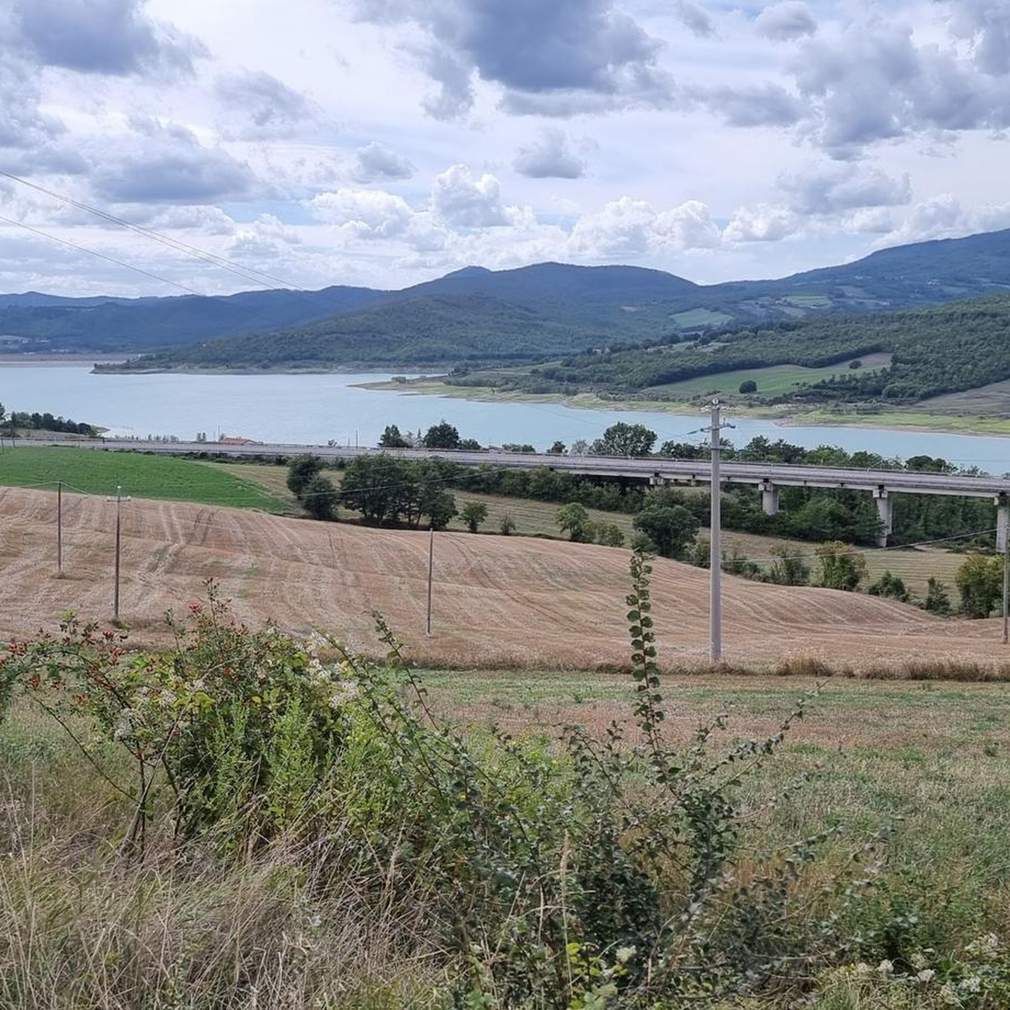
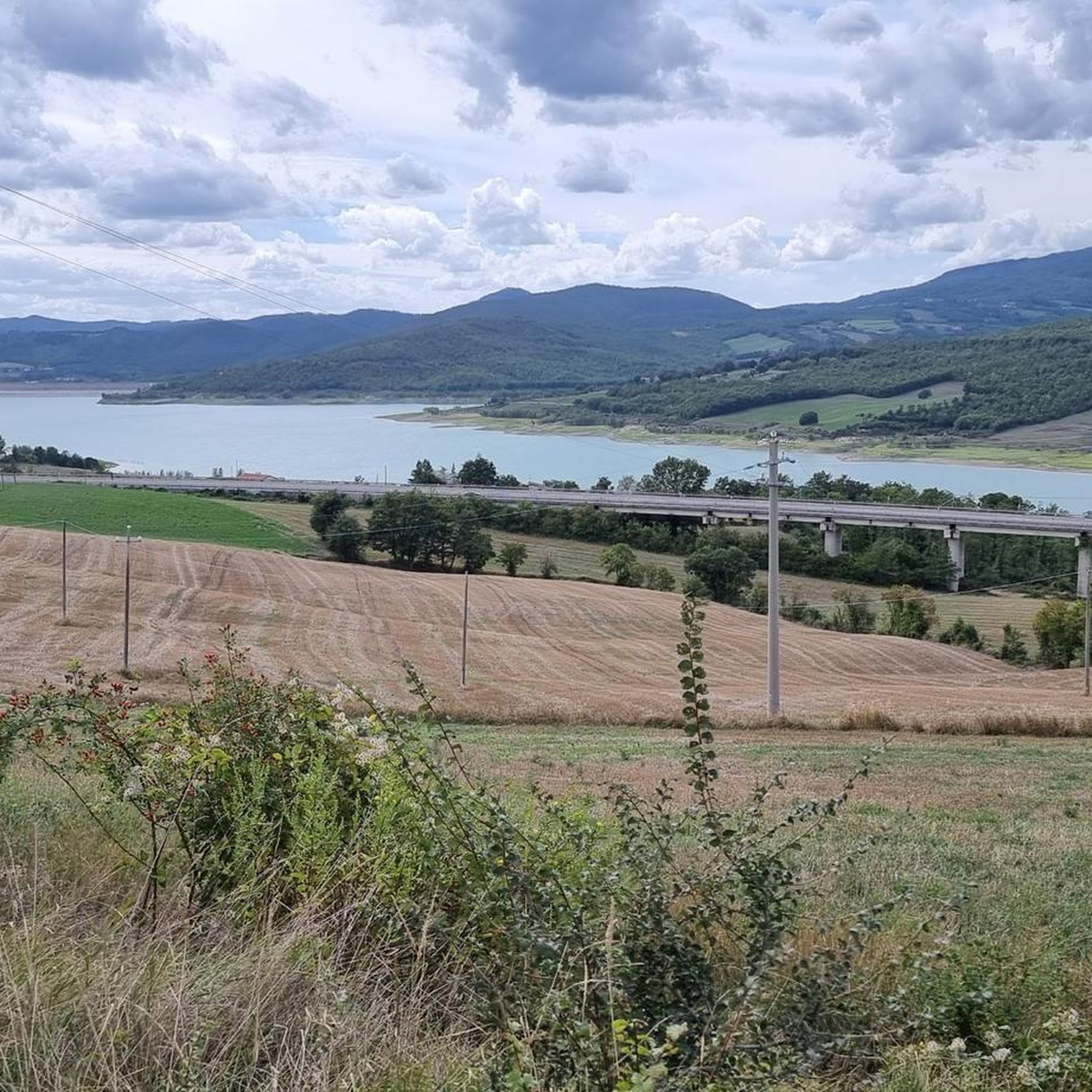
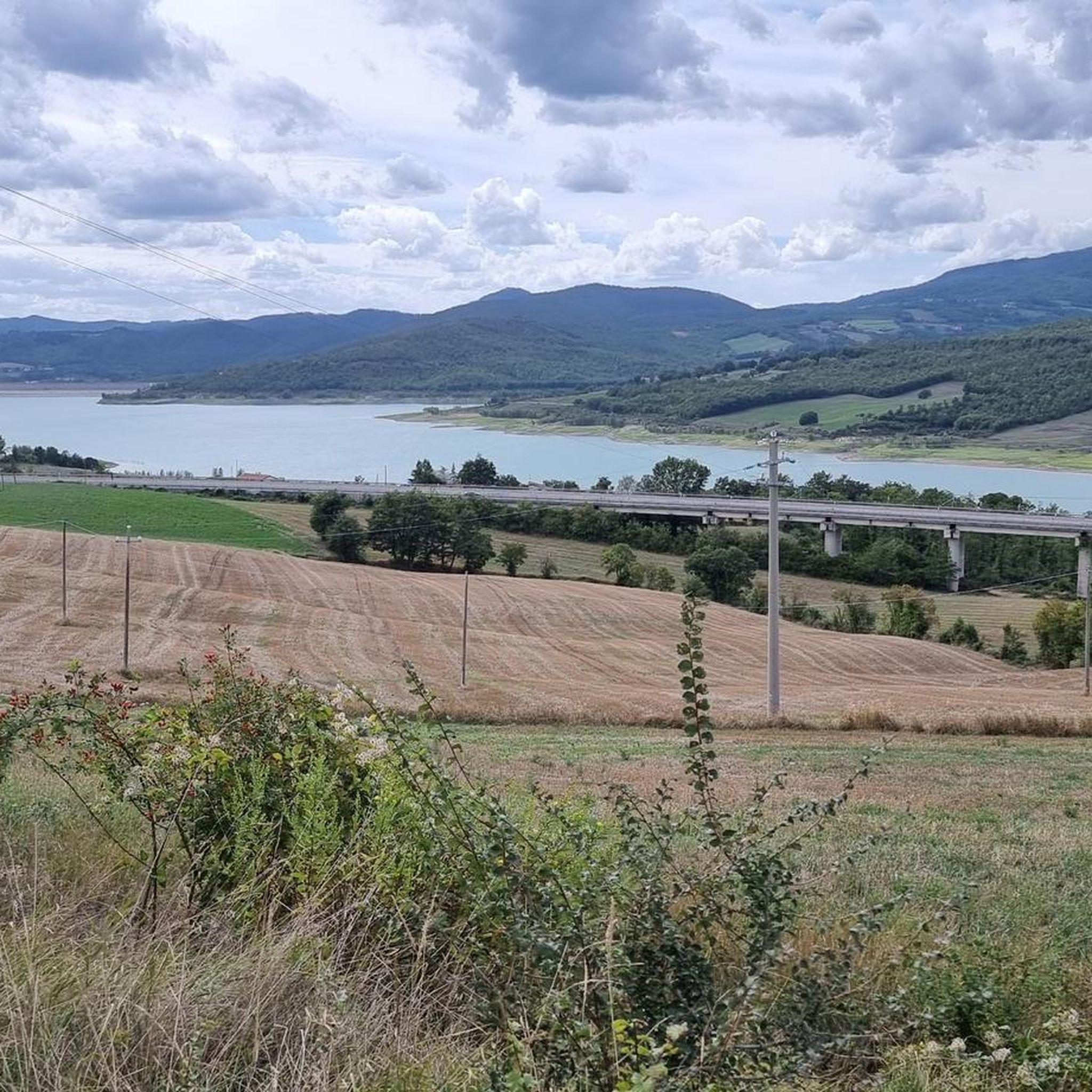
전반적으로 어렵지는 않지만 힘든 고개입니다. 특히 제가 시도했던 것처럼 처음 몇 킬로미터를 주요 도로가 아닌 "대체" 도로로 간다면 더욱 그렇습니다. 희귀한 아름다움을 지닌 풍경이 펼쳐지고, 녹음 속에 잠기며, 아스팔트는 전반적으로 좋고, 교통량은 견딜 만합니다. 그리고 정상에 도착하면 정말 큰 만족감을 느낄 수 있습니다
0
0

사진이 좀 오래되었어요.. 표지판은 말 그대로 여행자들의 스티커로 뒤덮였습니다
0
0

the climb through the woods begins, quite tough in some parts!!
0
0

starting point of the classic Balze loop ═════════════════ 182nd excursion and 16th time in the Balze area | loop starting from Valico Monte Fumaiolo passing through Rifugio Moia and Rifugio Giuseppe ════════════════ 👇 here is the video in 4K 👇 https://youtu.be/kt9FOoGmOZc
0
0

Passo dei Lupatti (altitude 1171) where majestic beech trees stand and where we cross the 00 ridge path coming from Passo dei Mandrioli and heading to Passo della Crocina: the stretch of the railway that went from Passo dei Lupatti to Cancellino was slightly downhill and for this reason the wagons loaded with wood were slowed down in their run by specially trained men called "brakemen". Now from Passo dei Lupatti to Lama the road will always continue downhill: immersed in the forest we walk crossing the slopes of Mount Cucco and Poggio Rovino until we reach Pian della Saporita (altitude 1051) Beautiful dirt road immersed in an immense beech forest with the possibility of many variations, 90% of the routes are suitable for everyone.
0
0


Mount Fumaiolo pass: starting point for trekking, routes, excursions and paths.
0
0
The Viamaggio Pass is a pass (983 m) in the Tuscan-Romagna Apennines located on the border between the municipalities of Pieve Santo Stefano and Badia Tedalda, in the province of Arezzo. The pass, which connects the Tiber Valley to the Marecchia Valley, is crossed by the Marecchiese State Road which connects Sansepolcro (Arezzo) with Rimini. Known and frequented since ancient times, in Roman times the Via Ariminensis passed through it, an ancient road connecting Arezzo and the colony of Rimini. This non-consular road, however, did not follow the current route of the Strada Marecchiese, but headed towards Pieve Santo Stefano and passed through the valley of the Sinigiola stream (the current Via Cerbaiolo, with the hermitage of the same name, which joins a few dozen of meters from the pass)
0
0
피에베 산토 스테파노 주변에서 가장 인기 있는 명소


더 살펴보기
이 가이드를 통해 더 많은 장대한 산악 통과를 확인해보세요 피에베 산토 스테파노 주변:
