오랭에서 가장 멋진 20개의 산길
오랭에서 가장 멋진 산길을 아래에서 살펴보세요. 풍경을 감상하기에도 좋고, 오르막길/내리막길을 따라 걷기에도 좋은 곳이랍니다. 커뮤니티가 특별 도움을 통해 공유한 콘텐츠인 만큼 믿을 수 있는 정보이니 마음에 드는 산길이 있다면 바로 다음 모험 계획에 추가해서 바로 방문해보세요.
마지막 업데이트: 10월 27, 2026
콜 드 라 슐루흐트
하이라이트 • 산악 고개
번역자 Google •
팁에 의해


이런 장소를 발견하려면 지금 가입하세요
최고의 싱글 트랙, 봉우리 및 다양한 흥미로운 야외 장소에 대한 추천을 받아보세요.


콜 뒤 쁘티 발롱 (1,163 m)
하이라이트 • 산악 고개
번역자 Google •
팁에 의해
소울츠에서 콜 뒤 그랑발롱으로 오르기
하이라이트 (구간) • 등반
번역자 Google •
팁에 의해

D40을 경유하여 Col du Firstplan으로 오르기
하이라이트 (구간) • 산악 고개
번역자 Google •
팁에 의해

Col de Bramont
하이라이트 • 산악 고개
번역문 보기
팁에 의해

무료로 가입하여 오랭의 더 많은 산악 고개를 발견하세요.
이미 komoot 계정이 있나요?
오늘 무료 계정으로 시작하세요
다음 모험이 기다리고 있어요.
오랭 주변 인기 장소
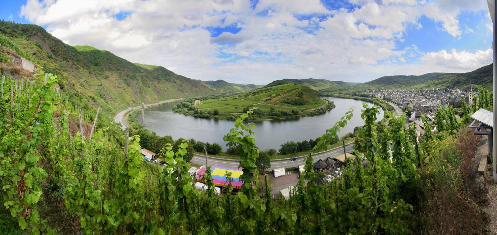
Moselle 사이클로 탐방로 — Vosges에서 Rhine까지 18 구간
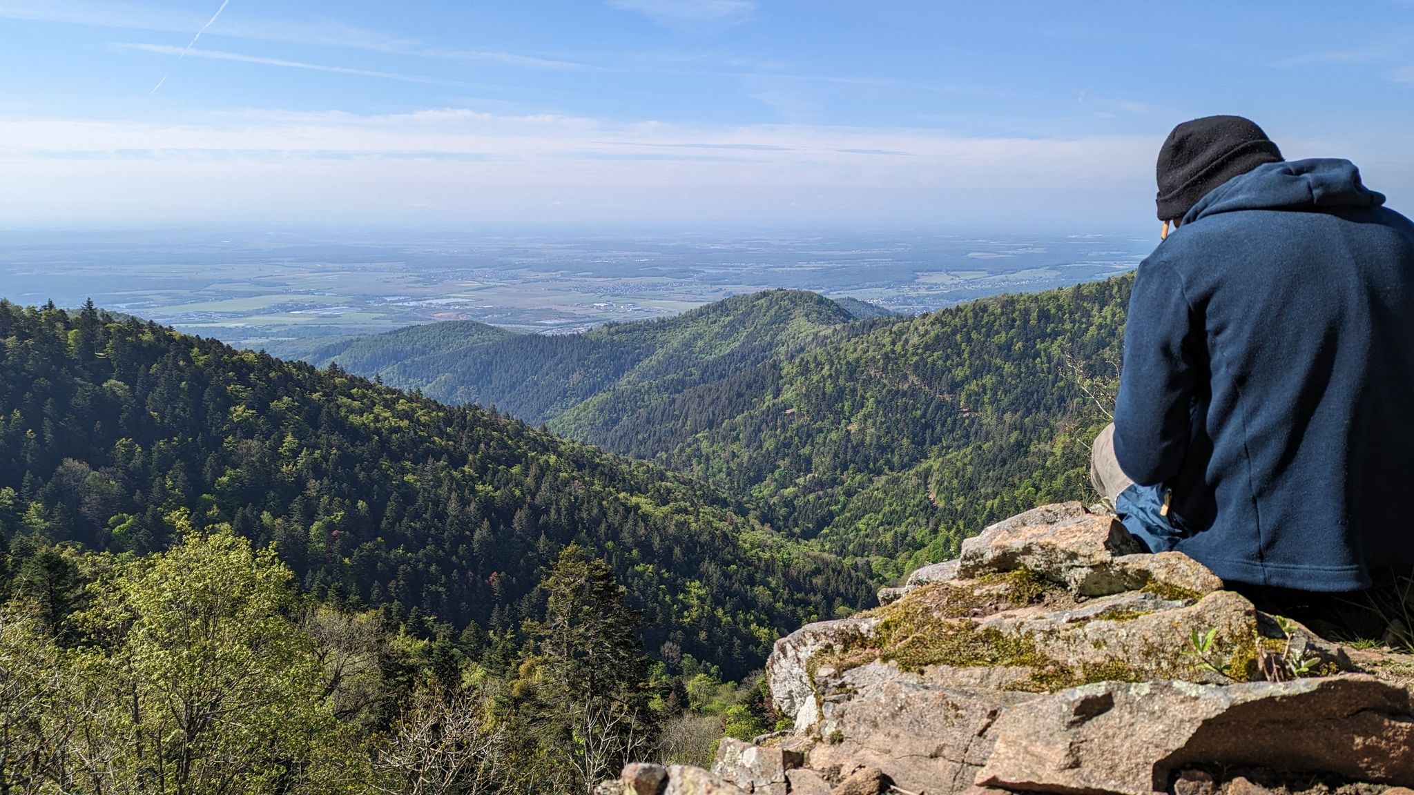
몽베리아르에서 아브레슈빌레까지 - 유럽 길 (GR 5)
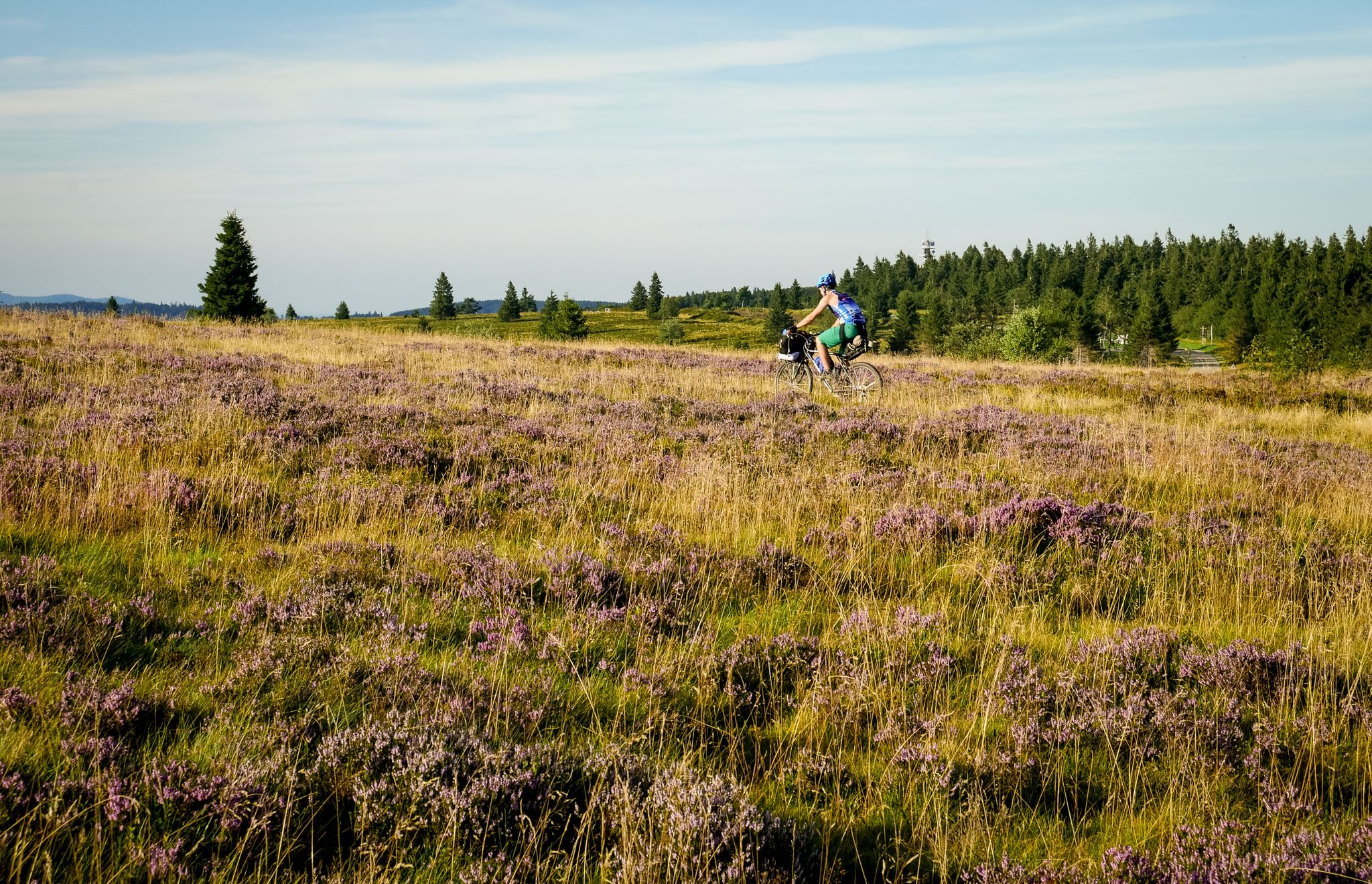
보스지언 산맥을 건너는 — 얼사스 바이크패킹
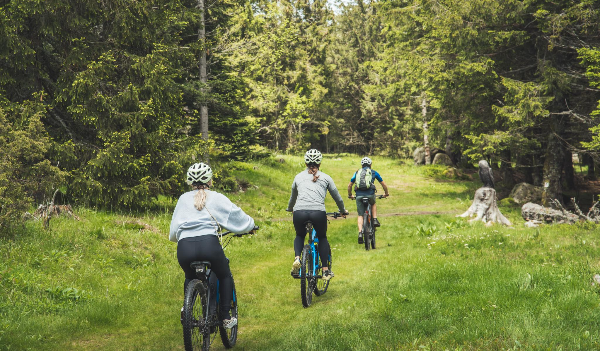
MTB and gravel in the Grand Est – the joy of the low mountains
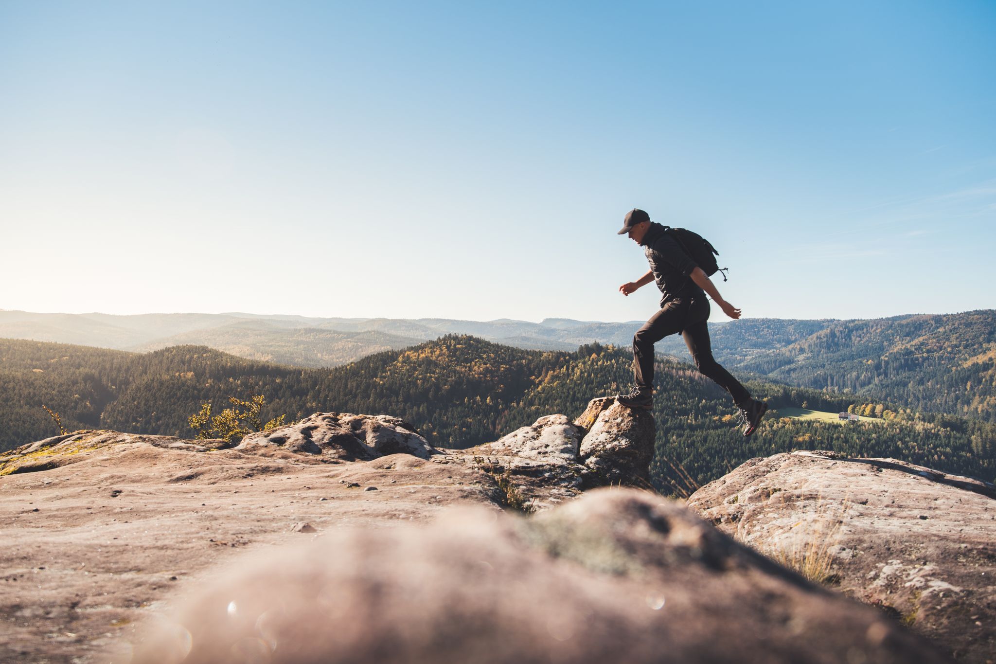
Trail running in the Grand Est – the region's most beautiful hilly trails
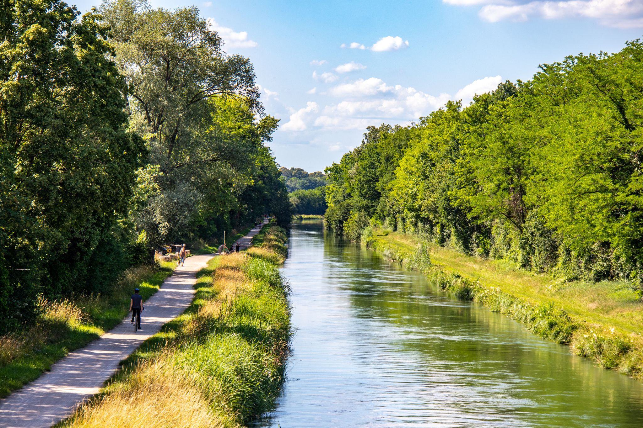
EuroVelo 6 – between the Rhine and the Loire by bike
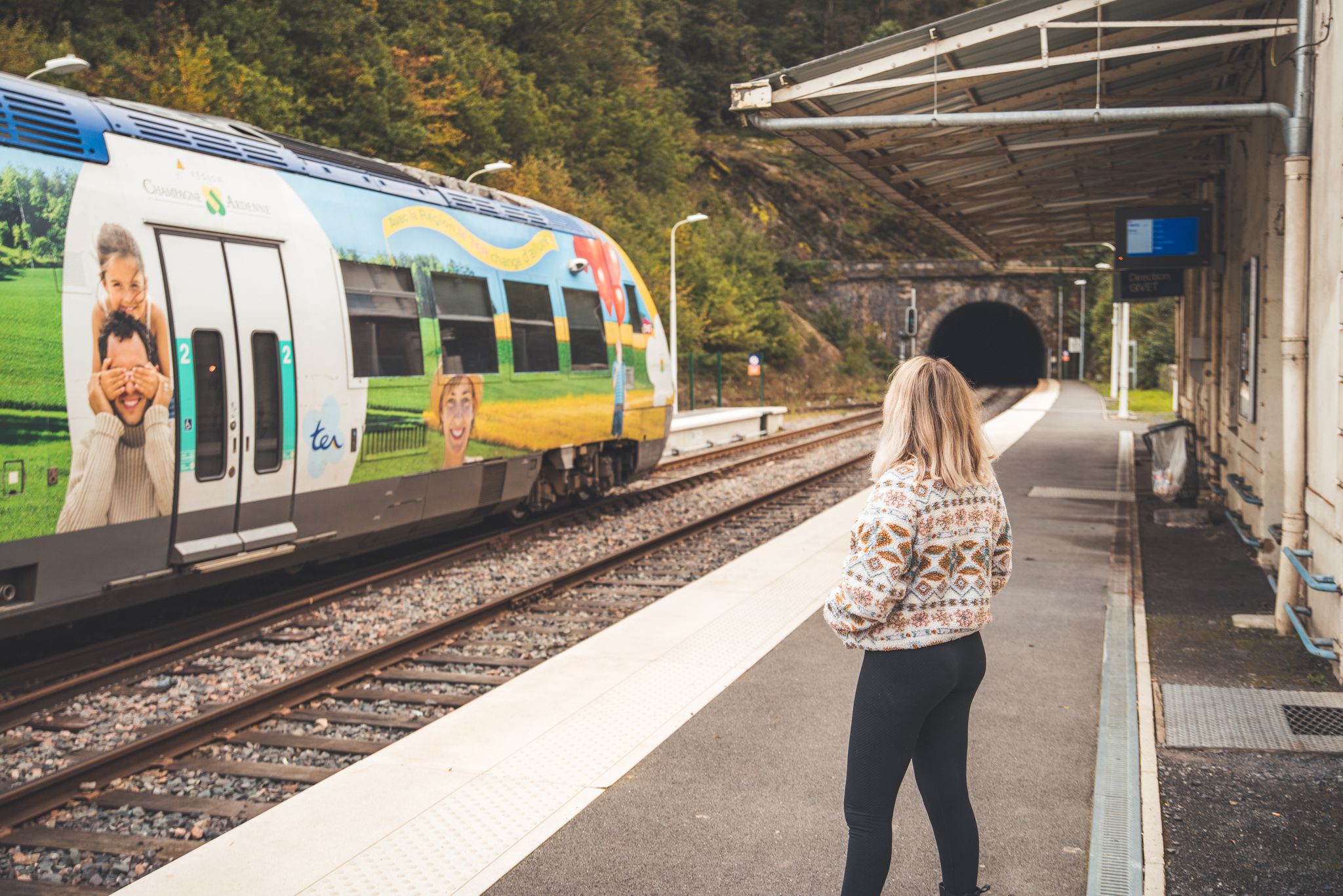
The Grand Est without a car – cycling from station to station
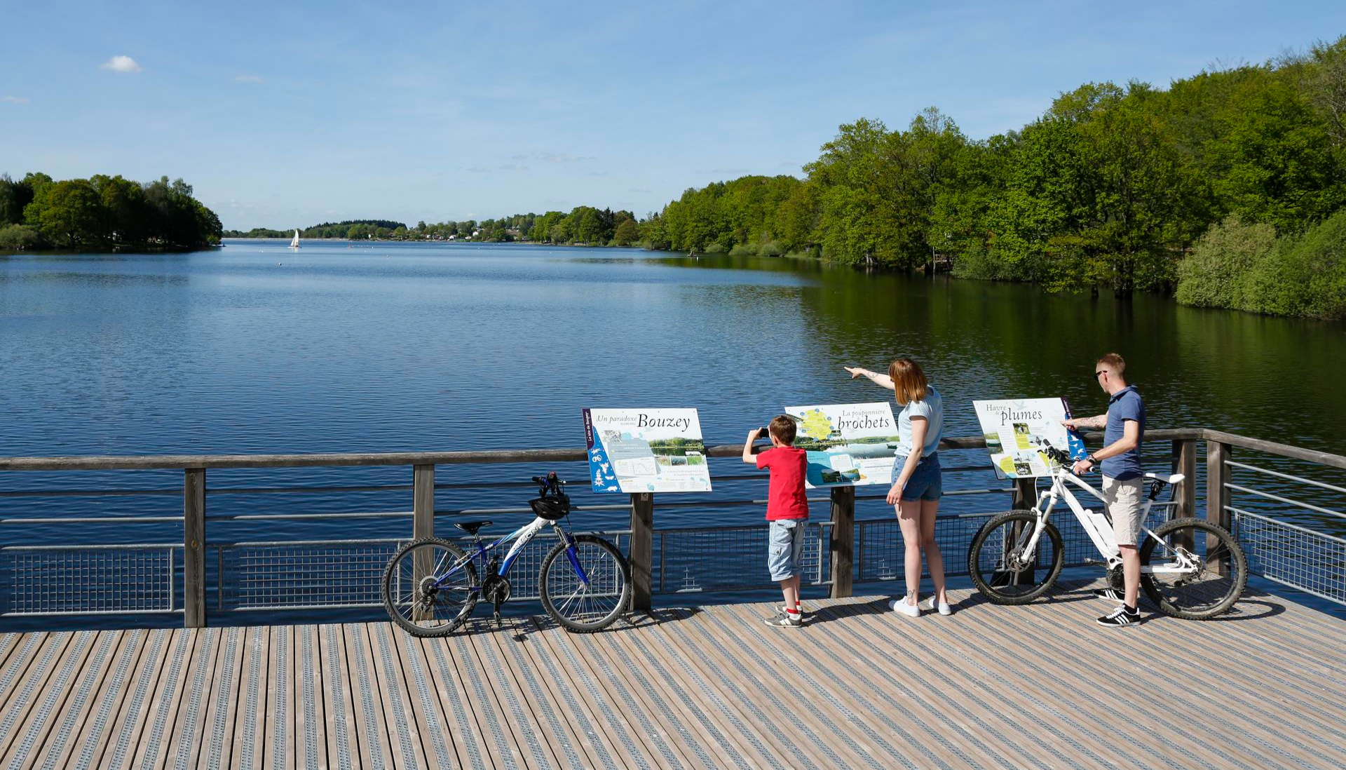
Family getaways – cycling in the Grand Est
Hiking and relaxation – wellbeing on the Traversée des Vosges
Bikepacking in Grand Est – the must-see routes
오랭의 다른 모험


커뮤니티 팁

Route des Crêtes에서 Le Grand Ballon으로 향하는 길에 Col du Haag(1233m) 고개를 거의 눈치채지 못하고 지나치게 됩니다. 그럼에도 불구하고 이 고개는 보주 산맥에서 가장 높은 산의 남쪽 경사면에서 특별한 지점을 표시합니다. 이곳에서 Thurdal에서 오는 가파른 도로들이 울창한 경사면을 벗어나 산괴의 탁 트인 고지대에 도달합니다. 고개에서부터 산악 목초지, 흩어져 있는 농가, 탁 트인 전망이 있는 전형적인 보주 산맥 풍경이 펼쳐집니다. Grand Ballon의 근접성은 어디에서나 느껴집니다. 인상적인 정상은 고개 위로 솟아 있으며 마지막 오르막 몇 킬로미터의 자연스러운 목표를 형성합니다. 사이클리스트에게 Col du Haag는 특히 계곡에서 오는 힘든 오르막길이 보주 산맥의 가장 높은 지점으로 계속 올라가기 전에 합쳐지는 지점으로 잘 알려져 있습니다.
6
0
Le Markstein (1184 m) is meer dan alleen een kruispunt op de Route des Crêtes. Het is echter een echte bergpas en het hoogste punt van de oversteek tussen het Lauch- en Thurdal. Het ligt in het hart van het Vogezenmassief, midden een populair wintersportgebied dat nauw verbonden is met de Grand Ballon
6
0
Le Markstein is a well-known winter sports and outdoor resort in the High Vosges, located at an altitude between 1020 and 1268 meters. The resort is situated directly on the iconic Route des Crêtes and forms an important crossroads and recreational area within the municipalities of Oderen and Lauw (near Wildenstein). At Le Markstein, you will find several traditional Fermes-Auberges and hotels where you can taste the local repas marcaire (a traditional hearty meal from the Vosges). Additionally, the location has gained significant fame in cycling; it is regularly the setting for tough mountain stages in the Tour de France (and the Tour de France Femmes), often as the final challenge after the climbs of Petit Ballon and Platzerwasel.
6
0
콜 드 브라몽 정상 자체에는 레스토랑이나 카페가 없습니다. 그러나 이 고개는 전략적 교차점 역할을 합니다. 고개 정상에서 유명한 크레테스 루트(D431)로 바로 연결될 수 있으며, 이 루트는 보주 산맥의 주요 봉우리들을 연결합니다. 이를 통해 콜 드 라 슐루트, 호넥, 그랑 발롱과 같은 주변의 더 큰 명소로 쉽게 자전거를 타거나 걸어갈 수 있습니다. 남쪽 경사면(크뤼트)의 12개 헤어핀 커브 때문에 오르막길이 재미있습니다.
7
0


고개를 넘으면 아스팔트 임도인 Chemin Béry가 2km 후에 Col de la Vierge로, 4.5km 후에 Lac des Corbeaux로 이어집니다. 고개에서 La Bresse 방향으로 내려가면 1km 후에 갈림길이 나오는데, 여기서 거의 이용되지 않는 지방 도로 D34 A, Route des Américains가 오른쪽으로 보주 산맥 능선 도로인 Route des Crêtes로 이어집니다. 이 도로는 특징적인 봉우리가 있는 Col de Rothenbach에서 합류합니다. Route des Américains의 길이는 5km이고 높이 차이는 약 280미터입니다.
3
0


더 살펴보기
이 가이드를 통해 더 많은 장대한 산악 통과를 확인해보세요 오랭:
