20의 사로니코스 제도가지 명소 & 주요 장소
사로니코스 제도에는 둘러볼 만한 장소가 많답니다. 하이킹 또는 사이클링을 좋아한다면 사로니코스 제도에 숨겨진 20
가지 보석을 만날 수 있을 거예요. 이 지역의 주요 명소를 살펴보면서 다음 모험을 계획해보세요.
마지막 업데이트: 8월 30, 2026

프로핏 엘리아스 수도원
하이라이트 • 종교적 장소
번역자 Google •
팁에 의해

이런 장소를 발견하려면 지금 가입하세요
최고의 싱글 트랙, 봉우리 및 다양한 흥미로운 야외 장소에 대한 추천을 받아보세요.
무료 회원 가입

아기오스 게오르기오스 교회
하이라이트 • 종교적 장소
번역자 Google •
팁에 의해

무료로 가입하여 사로니코스 제도의 더 많은 명소를 발견하세요.
무료 회원 가입
이미 komoot 계정이 있나요?
오늘 무료 계정으로 시작하세요
다음 모험이 기다리고 있어요.
로그인 또는 가입하기
커뮤니티 팁

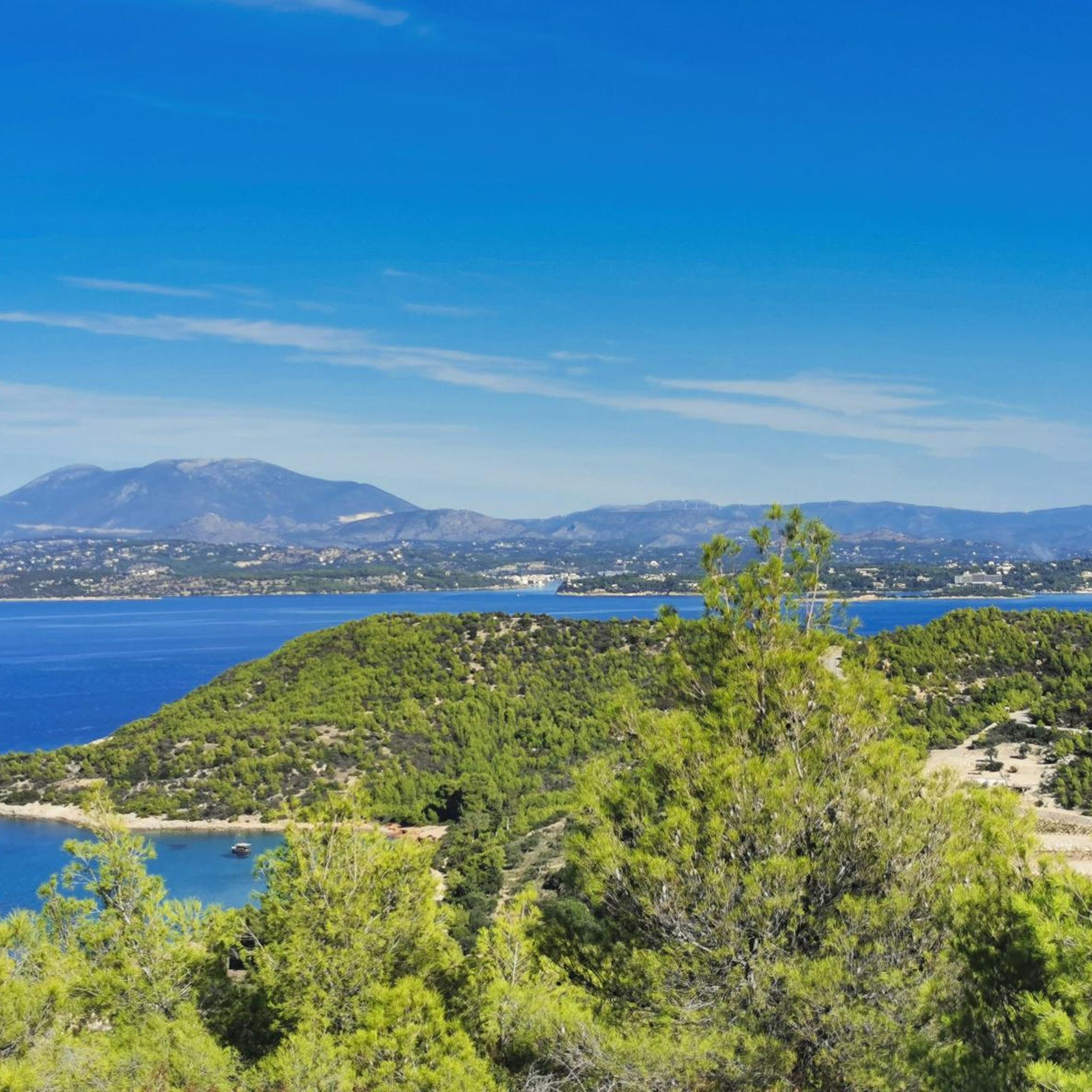
카포 타이나론은 라코니아의 마니 반도 끝에 위치해 있습니다. 이곳은 무다리 등대가 있는 스파티 곶입니다.
0
0

This monastery has a patron saint that is very unusual – at least in the Catholic and Protestant denominations. Almost always, the saints to whose protection a parish or monastic community is entrusted are biblical figures from the circle of Jesus or later generations. In Orthodox Christianity, however, we occasionally encounter as a patron saint – as is the case here – a prominent figure from the Old Testament, that is, the Hebrew Bible: the prophet Elijah. His position in the Jewish religion is so significant that he is also mentioned by the authors of the New Testament Gospels in their description of the Transfiguration of the Lord on Mount Tabor – together with Moses.
0
0

Vouno lies above the bay of Agios Nikolaos and the settlement of Avlemonas and was historically a place of worship. There are two Byzantine churches here. The eastern one is dedicated to Saint George; it is a simple, single-room vaulted temple with a mosaic floor dating from the 7th century. The mosaic depicts a hunting scene, with meandering birds and bears in a Hellenistic style. According to tradition, the church was built by the Byzantine Empress Theodora. The western church is a single-room domed church of the Kythira type, dedicated to Panagia Myrtidiotissa and Saint Nicholas. The dome stands on a square building, and there are two niches on the eastern side. There are many churches on the island that have a similar architectural design, such as those of Agios Dimitrios in Kampianika of Alexandradon, Agios Nikitas in Kalamos, Agia Kyriaki in Mitata, Agios Nikon in Zagklanikianika, Agios Ioannis Theologos in Chamili (Kalamos) and two of the churches of the Pourko complex.
1
0
Outside the fortress, to the north, there is a second wall surrounding Klistos Vourgos, with its many churches and houses. The castle contains several cannons from the Venetian, Russo-Turkish, and English periods. Two of Mirtidiotissa's miracles are connected to the castle and can be seen at the bottom of the icon. One of them relates to the ship that was transporting the precious metal for the icon's dress from Crete and was threatened by pirates. The second refers to the lightning that struck the castle in 1829, passing in front of the image and the adjacent gunpowder magazine without causing any damage.
2
0
In the center of the castle, you'll notice some dilapidated two-story houses. 200 years ago, 200 inhabitants lived in the castle, the last of whom remained during the occupation, when the conquerors seized the buildings. After another 30 meters of walking, you'll reach the gunpowder magazine, a building with walls more than a meter thick, and right next to it, the Church of Pantokratoras, filled with ancient wall paintings. In front of the church is the old seat of the castle; the building now houses the Historical Archives of Kythera. Crossing the large tunnel under the main seat, you'll reach the main seat square with the large 16th-century church—originally the Catholic "Our Lady of the Latins." In 1806, the church was consecrated as an Orthodox church, commemorating Mirtidiotissa. Next to it is the Church of Panaghia Orfani, where the icon and relics of the Agarathos Monastery in Heraklion were kept for 300 years while Crete was under Turkish rule. The Church of Mirtidiotissa retained the icon of the same name even during periods of pirate attacks until 1842, when the icon was returned to the Mirtidia Monastery, and a copy from 1844 was left in the castle.
2
0
The island's most characteristic monument is the Castle of Chora! The castle, or "Fortezza," was built in the 13th century when Kythera was ruled by the Venetians. The "Eye of Crete," as it was also called due to its strategic location, allowing ships to observe three seas simultaneously—the Ionian, the Aegean, and the Cretan—was built at various stages of the island's history, but the largest and most important part, including the facade, was built in 1503 by the Venetians, who subsequently repaired and reconstructed it. At the entrance to the castle, you can see the tunnel, or "fossa"! On this front wall, the Venetian coat of arms of the Lion of St. Mark once stood, but it was destroyed by the French in 1797, along with the book of nobility and the coats of arms. To the left of the castle entrance, you can see the prison, and a little further up, on the right side of the southwestern part, the huge Venetian reservoir with domes and arches.
2
0
It is the lighthouse situated at the northernmost point of the island, cape Spathi. It was built under the British rule and is the largest lighthouse built by the British in Greece. It was constructed in 1857 and has a height of 25 meters. Adjacent to the lighthouse is the “simatorio” or “simatologio” (signal-house) that would inform passing ships with the use of flags. Once you get all the necessary instructions and information at the village of Karavas, it is a place worth visiting. Go up the lighthouse and take a look at the view- it is stunning.
3
0

In addition to the island's main town, Hydra offers several scattered and remote monasteries, some of which are difficult to reach, and many bathing bays that can be reached either by public boat or taxi boat.
0
0
사로니코스 제도에서 가장 인기 있는 명소


더 살펴보기
찾고 있는 하이라이트를 아직 못 찾으셨나요? 다른 지역의 주요 명소 가이드를 확인해보세요:
