베르가모에서 가장 멋진 20개의 폭포
폭포에서 숨 막히는 절경을 감상하고 싶나요? 그렇다면 베르가모에 있는 아름다운 폭포 20
개를 살펴보세요. 아래에서 여러 폭포 사진과 팁을 살펴본 후에 마음에 드는 폭포를 다음 모험 계획에 간편하게 추가해보세요!
마지막 업데이트: 10월 2, 2026


이런 장소를 발견하려면 지금 가입하세요
최고의 싱글 트랙, 봉우리 및 다양한 흥미로운 야외 장소에 대한 추천을 받아보세요.

폰테 로마노 술 세리오
하이라이트 • 다리
번역자 Google •
팁에 의해

발주리오의 거인들의 웅덩이
하이라이트 • 자연 기념물
번역자 Google •
팁에 의해

피아나 델 보와 카스카타 델 보
하이라이트 • 자연
번역자 Google •
팁에 의해

발데그루 계곡 폭포
하이라이트 • 폭포
번역자 Google •
팁에 의해

오냐 강을 따라 펼쳐진 폭포와 개울, 파르코 델레 오로비에 베르가마스케
하이라이트 • 폭포
번역자 Google •
팁에 의해
무료로 가입하여 베르가모의 더 많은 폭포를 발견하세요.
이미 komoot 계정이 있나요?
오늘 무료 계정으로 시작하세요
다음 모험이 기다리고 있어요.
베르가모 주변 인기 장소

Road to BAM! 2026 – Condividi la strada
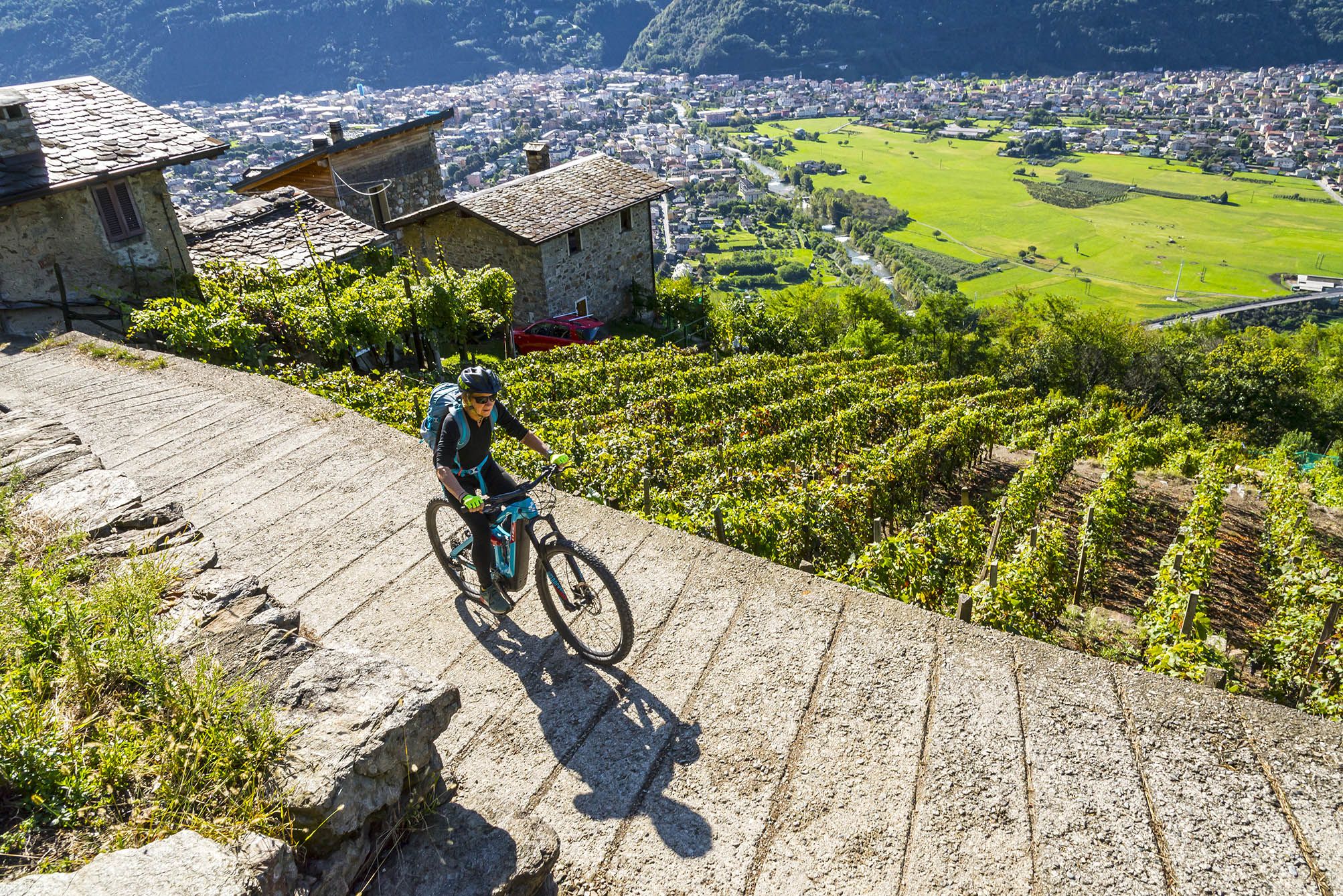
Cycling routes to discover authentic Lombardy
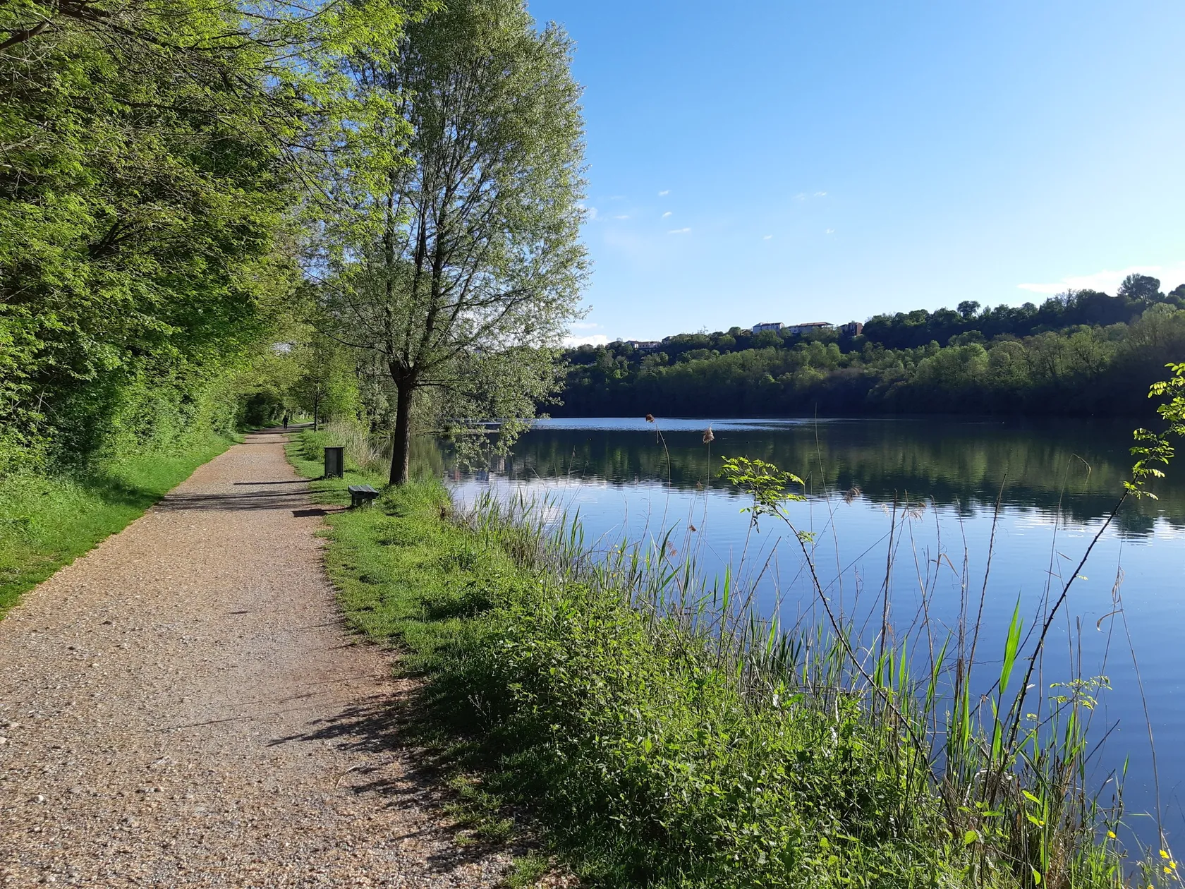
Lombardy by bike – discover historic villages and natural beauty
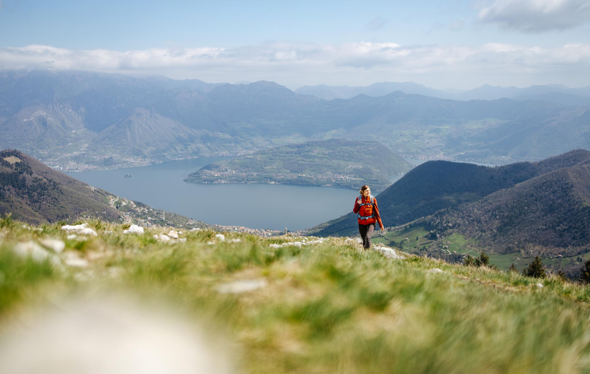
From the lake to the peaks - hiking on Lake Iseo
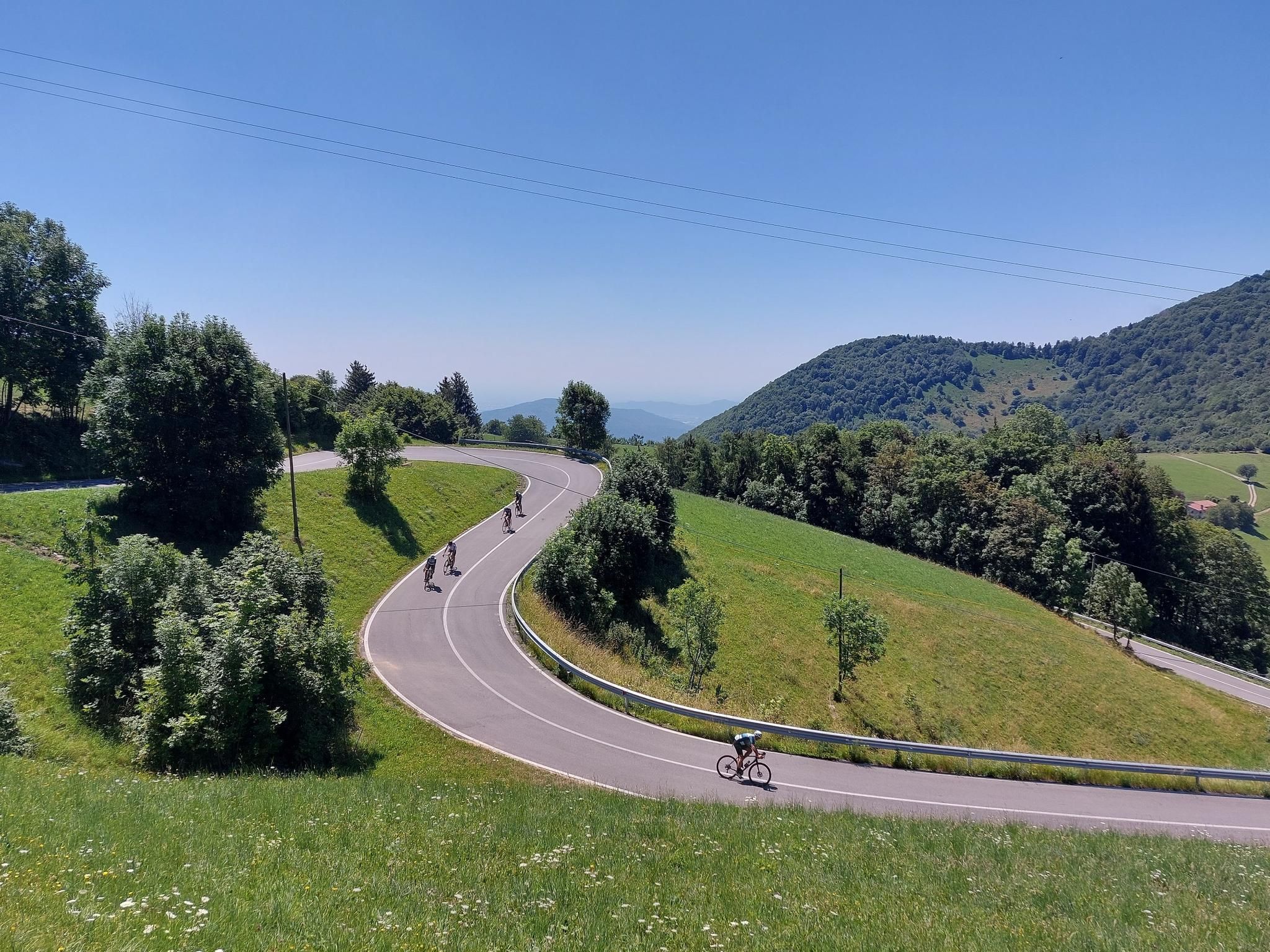
북이탈리아의 언덕과 해안 - 이세오 호수 탐험
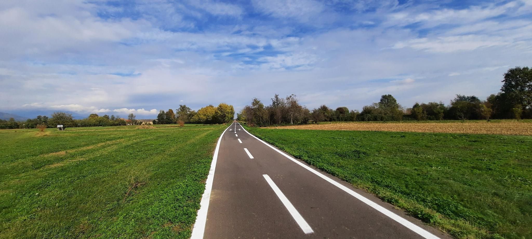
이탈리아 알프스를 타고 – Pedemontana 자전거 경로

북이탈리아의 철의 숲 길 – Via Decia
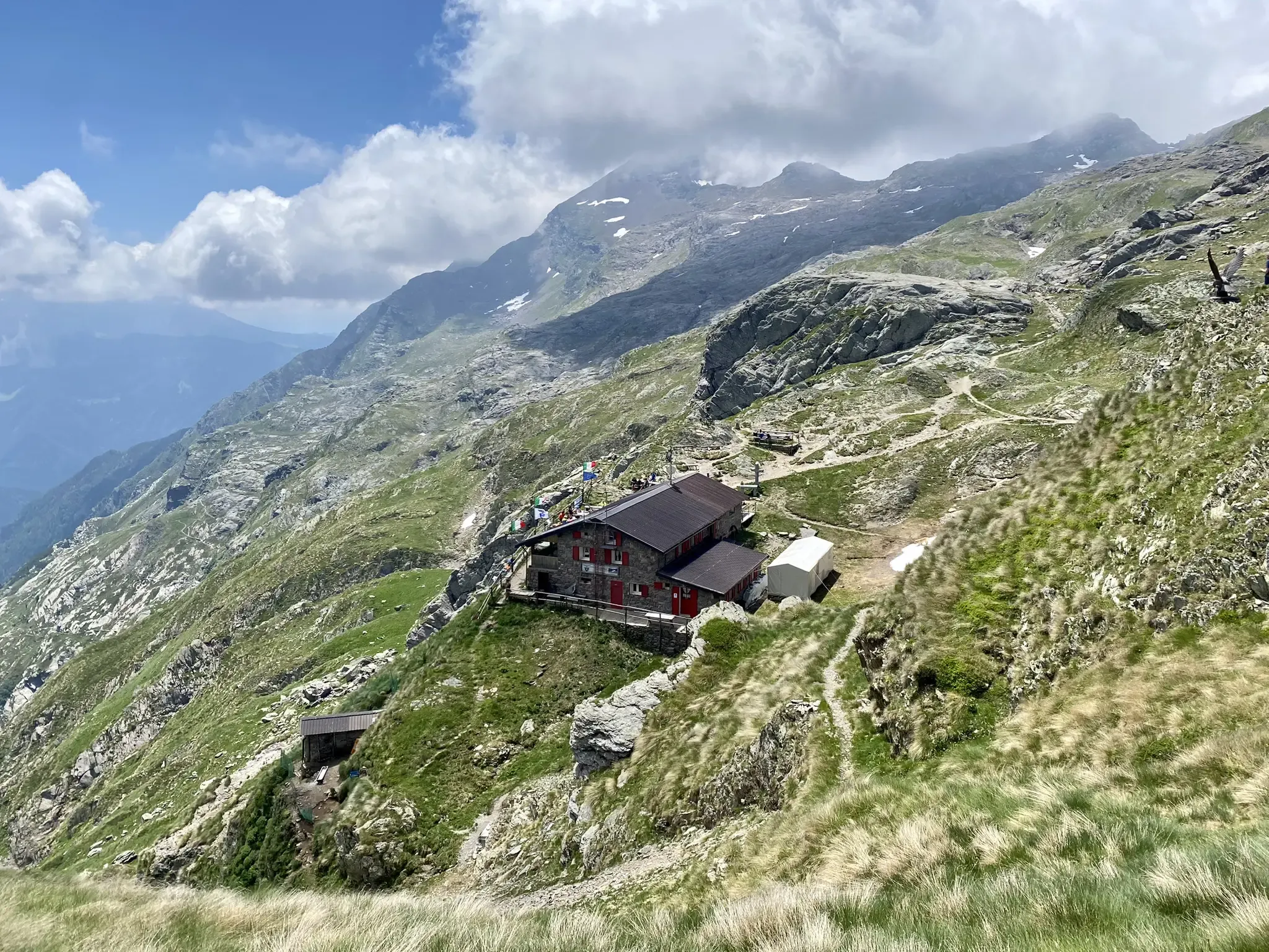
안토니오 쿠로 자연 경로 - 버그만스크 알프스 두 일
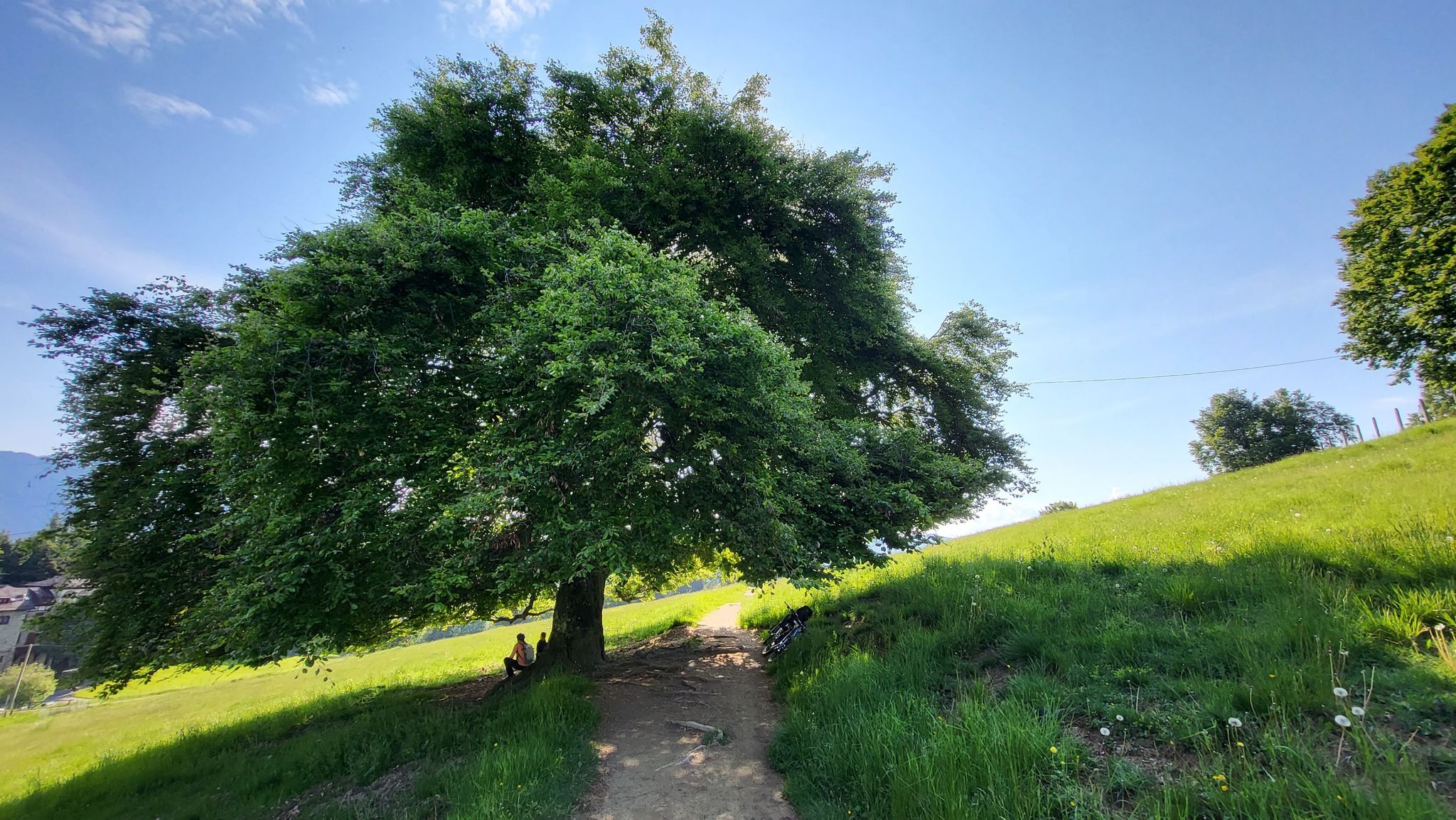
발 디 스칼베 - 카민나포레스테 롬바르디아 파트 4
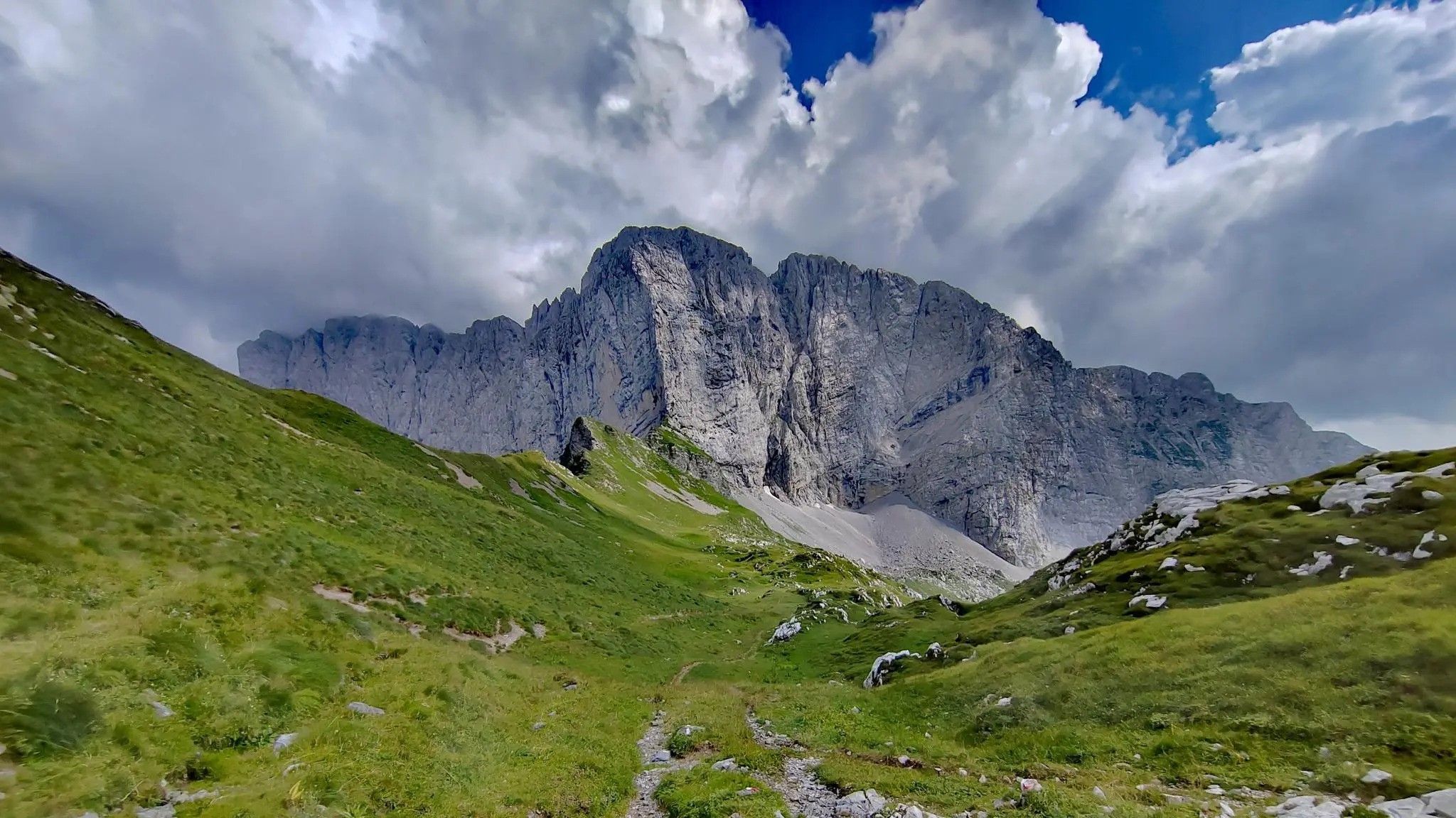
발 디 스칼베 – 피콜로 돌로미티 베르가마스케 중에 트레킹
베르가모의 다른 모험


커뮤니티 팁

세리오 강에 있는 알비노의 오래된 다리는 네 개의 아치로 이루어진 전형적인 중세 구조를 가지고 있으며, 아치의 폭은 강물 방향으로 갈수록 넓어지고 통행로는 좁고(2.2미터) 경사가 심합니다. 이 다리의 존재는 14세기부터 기록되어 있습니다. 그 기원은 알려지지 않았지만, 물을 이용하여 맷돌과 다른 공장의 바퀴를 작동시키는 것이 보급되던 13세기경으로 거슬러 올라갈 수 있습니다. 이 시기에는 세리오 강의 왼쪽 제방에 있는 로지아 세가(Roggia Sega) 수로도 건설되었는데, 이 수로는 제재소뿐만 아니라 다리 근처에 있는 도정기(곡물용 절구)도 작동시켰습니다. 제재소는 올트레세리오의 광활한 숲에서 구할 수 있고 수요가 많았던 건축용 목재를 공급했습니다. 이 강은 코무네 마조레(Comune Maggiore) 지역을 반으로 나누었고, 강물이 불어나면 도하가 불가능해졌습니다. 이때 이 다리는 필수적인 구조물이 되었습니다.
0
0

카스카타 델라 발 삼부차(카로나 폭포라고도 함)는 베르가모 현 카로나 시에 위치한 해발 약 1,413미터에 있는 발 브레마나 계곡에서 가장 인상적인 폭포 중 하나입니다.
4
0

Snow-covered Giants' Cauldrons!
1
0

Today Sanguigno Stream Waterfalls Show more The Sanguigno Stream waterfalls are one of the most evocative natural spectacles in the Sanguigno Valley, above Valgoglio (BG). A sequence of waterfalls and crystal-clear pools that line the trail surrounded by greenery, making the valley a true paradise for hikers and nature lovers. 🌊 Main features Unique environment: The Sanguigno Valley is considered the oasis with the highest biodiversity in the Orobie Bergamasche Park. Waterfalls and natural pools: The stream cascades, forming transparent pools of green and blue. Wild atmosphere: The water tumbles over waterfalls, rests in crystal-clear lakes, and flows through peat bogs and shady woods. Accessibility: The starting point is the Aviasco power plant (965 m), accessible by car from Valgoglio. From there, the trail follows the stream and its waterfalls to the Gianpace Refuge. 🚶♂️ Hiking itinerary Start: Valgoglio (929 m), with parking at the Aviasco power plant (ticket required). Route: The trail follows the Sanguigno stream, passing through woods and clearings, with constant glimpses of the waterfalls. Intermediate stop: Rifugio Gianpace (1331 m), an excellent refreshment point and observation point for the waterfalls. Duration: Approximately 2 hours' walk to the refuge, with moderate elevation gain.
0
0
The waterfalls of the Sanguigno River are one of the most evocative natural spectacles in the Sanguigno Valley, above Valgoglio (BG). A sequence of waterfalls and crystal-clear pools line the trail, immersed in greenery, making the valley a true paradise for hikers and nature lovers. 🌊 Main features Unique environment: The Sanguigno Valley is considered the oasis with the highest biodiversity in the Orobie Bergamasche Park. Waterfalls and natural pools: The stream cascades, forming transparent pools of green and blue. Wild atmosphere: The water tumbles over waterfalls, rests in crystal-clear lakes, and flows through peat bogs and shady woods. Accessibility: The starting point is the Aviasco power plant (965 m), accessible by car from Valgoglio. From there, the trail follows the stream and its waterfalls to the Gianpace Refuge. 🚶♂️ Hiking itinerary Start: Valgoglio (929 m), with parking at the Aviasco power plant (ticket required). Route: The trail follows the Sanguigno stream, passing through woods and clearings, with constant glimpses of the waterfalls. Intermediate stop: Rifugio Gianpace (1331 m), an excellent refreshment point and observation point for the waterfalls. Duration: Approximately 2 hours' walk to the refuge, with moderate elevation gain.
0
0
The Foga Falls are located in the Foga Valley, just above Valbondione, and offer a striking natural spectacle with a drop of approximately 125 meters at an altitude of 1,800 meters. These waterfalls are immersed in a fascinating landscape and historical context, linked to the Redorta mountain huts and the area's mining history. Here's a detailed overview: 🌊 Characteristics of the Foga Falls Elevation: approximately 1,800 meters above sea level. Drop: 125 meters, visible in all its grandeur, especially during flood periods. Visual effects: Rainbows often form in the cascading water, making the site particularly photogenic. 🥾 Access and itineraries Recommended trail: CAI 331, which starts from the town of Valbondione, near the bus depot. Duration: About a 30-minute walk to reach Salvasecca, which provides access to the Foga Valley and the waterfalls. Difficulty: Low, also suitable for less experienced hikers. Alternative route: From Lizzola Bassa, a 6.6 km loop with 487 m of elevation gain. 🏞️ Landscape and historical context The Foga Valley opens west of Valbondione, descending steeply from the slopes of Pizzo Redorta. It is crossed by a penstock that feeds the Dossi power plant, with a historic stone tower (ENEL well) visible along the trail. The Redorta and Rigù huts are ideal destinations for continuing the hike, immersed in the greenery of the Orobie Alps.
0
0

Possibility of taking crazy dives
0
0

농림목축 도로의 이 지점과 도로의 급커브에서 갈라지는 짧은 길의 해발 1100m 지점 모두에서 볼 수 있는 아름다운 폭포. 이 두 번째 지점에서 폭포는 정말 인상적입니다!
0
0


찾고 계신 것을 찾지 못하셨나요?
근처의 더 멋진 장소를 찾고 계신가요? 이 지역별 가이드를 통해 베르가모의 더 놀라운 폭포를 확인해보세요:
