브리엔츠빌러에서 가장 멋진 20개의 산길
브리엔츠빌러에서 가장 멋진 산길을 아래에서 살펴보세요. 풍경을 감상하기에도 좋고, 오르막길/내리막길을 따라 걷기에도 좋은 곳이랍니다. 커뮤니티가 특별 도움을 통해 공유한 콘텐츠인 만큼 믿을 수 있는 정보이니 마음에 드는 산길이 있다면 바로 다음 모험 계획에 추가해서 바로 방문해보세요.
마지막 업데이트: 9월 16, 2026
그로세 샤이덱
하이라이트 • 산악 고개
grosse-scheidegg.ch
번역자 Google •
팁에 의해

마이링겐에서 그로세 샤이덱까지
하이라이트 (구간) • 산악 고개
번역자 Google •
팁에 의해

이런 장소를 발견하려면 지금 가입하세요
최고의 싱글 트랙, 봉우리 및 다양한 흥미로운 야외 장소에 대한 추천을 받아보세요.
Lättgässli 고개
하이라이트 • 산악 고개
번역자 Google •
팁에 의해

브로켄하우스 브뤼니크 고개
하이라이트 • 산악 고개
번역자 Google •
팁에 의해

브뤼니크 고개 경관 루트
하이라이트 • 산악 고개
번역자 Google •
팁에 의해

무료로 가입하여 브리엔츠빌러 주변의 더 많은 산악 고개를 발견하세요.
이미 komoot 계정이 있나요?
오늘 무료 계정으로 시작하세요
다음 모험이 기다리고 있어요.
커뮤니티 팁

As of the end of May 2025, the side road from Lungern train station to the wrestling arena on Brünig Pass is paved throughout. Only 20 meters at the Chäppeli parking lot are still compact gravel. For those who value their lives, take this route and not the Brünig road (N/A8) over the pass.
10
0

In summer, there's a lot of traffic over Brünig. Those who prefer a quieter climb can take this route, but you'll have to push your road bike a short distance over gravel – or if you're not afraid of getting a flat tire, you can just ride over it. Another advantage: the scenery is much more scenic than the main road. But be sure to take the main road downhill.
0
0

Brünig Pass (1008 m above sea level) There is some historical evidence of the Brünig Pass dating back to 1304. These include agreements, protective alliances, regulations regarding property, etc. between Obwalden and Oberhasler. The trade routes from Bern via Thun and Lucerne via Brünig met in Meiringen. They then continued over the Grimsel, Griespass to Lombardy. The main export was Sbrinz cheese, which is why this trade route was called the Sbrinz Route. The transport was carried out exclusively by mule drivers. This was a profitable venture until the beginning of the 19th century. With the development of various passes with roads, it lost importance and the opening of the Gotthard Railway in 1882 brought mule traffic to a complete standstill. Today, interested parties can experience the mule traffic on the Sbrinz route in the summer months. Construction of the Brünigstrasse began in 1857. The Brünigbahn opened in 1888. This cog railway runs over the summit of the Brünig Pass (1008 m above sea level) from Lucerne to Meiringen and Interlaken. Text / Source: Interest Group for Alpine Passes IAP, PO Box 11, 6491 Realp https://www.alpen-paesse.ch/alpenpaesse/bruenigpass/
14
0

This side road to Brünig has a short stretch of gravel, about 200m-300m, the rest is asphalt or concrete. No problem going up and down with a gravel bike or mountain bike. Racers with 30 or 28 inch wheels should also be fine, but probably not with an aero racer. But it is certainly a good alternative to the main pass road.
1
0

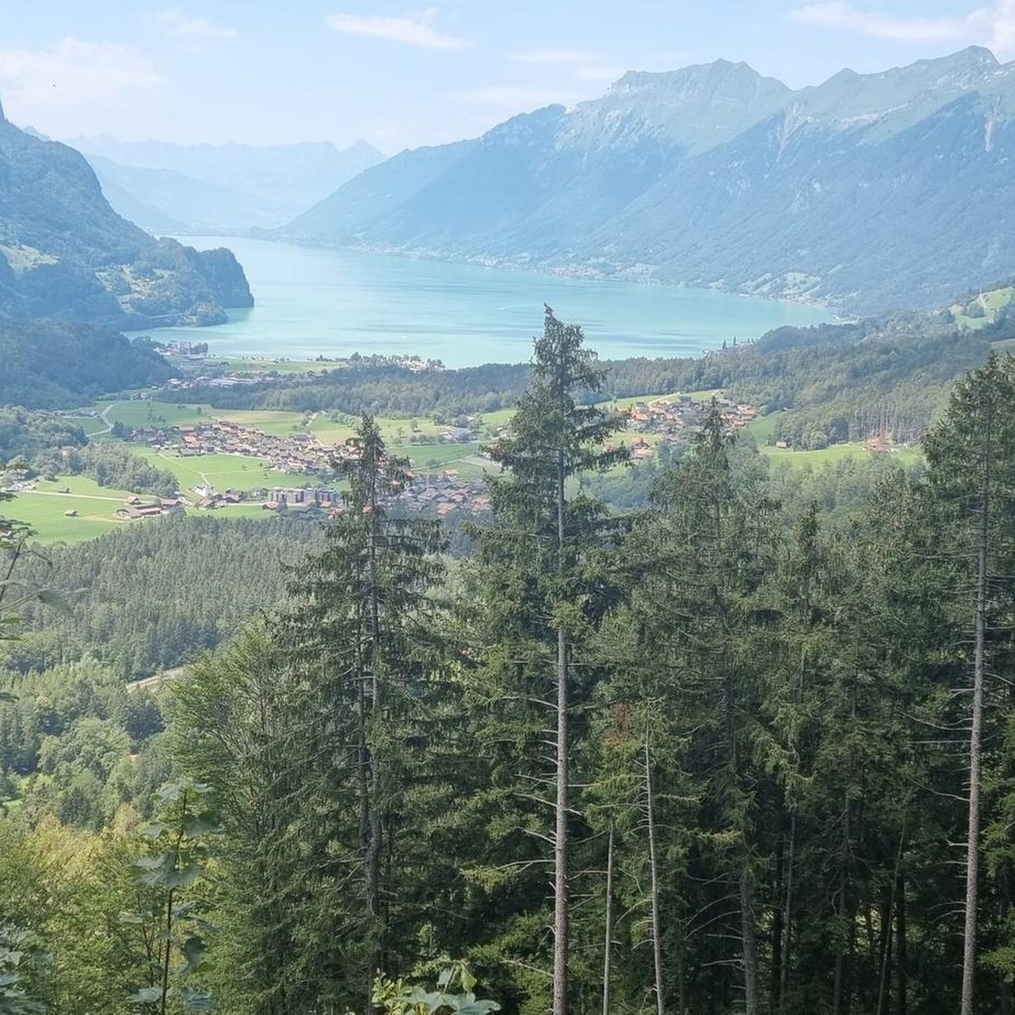
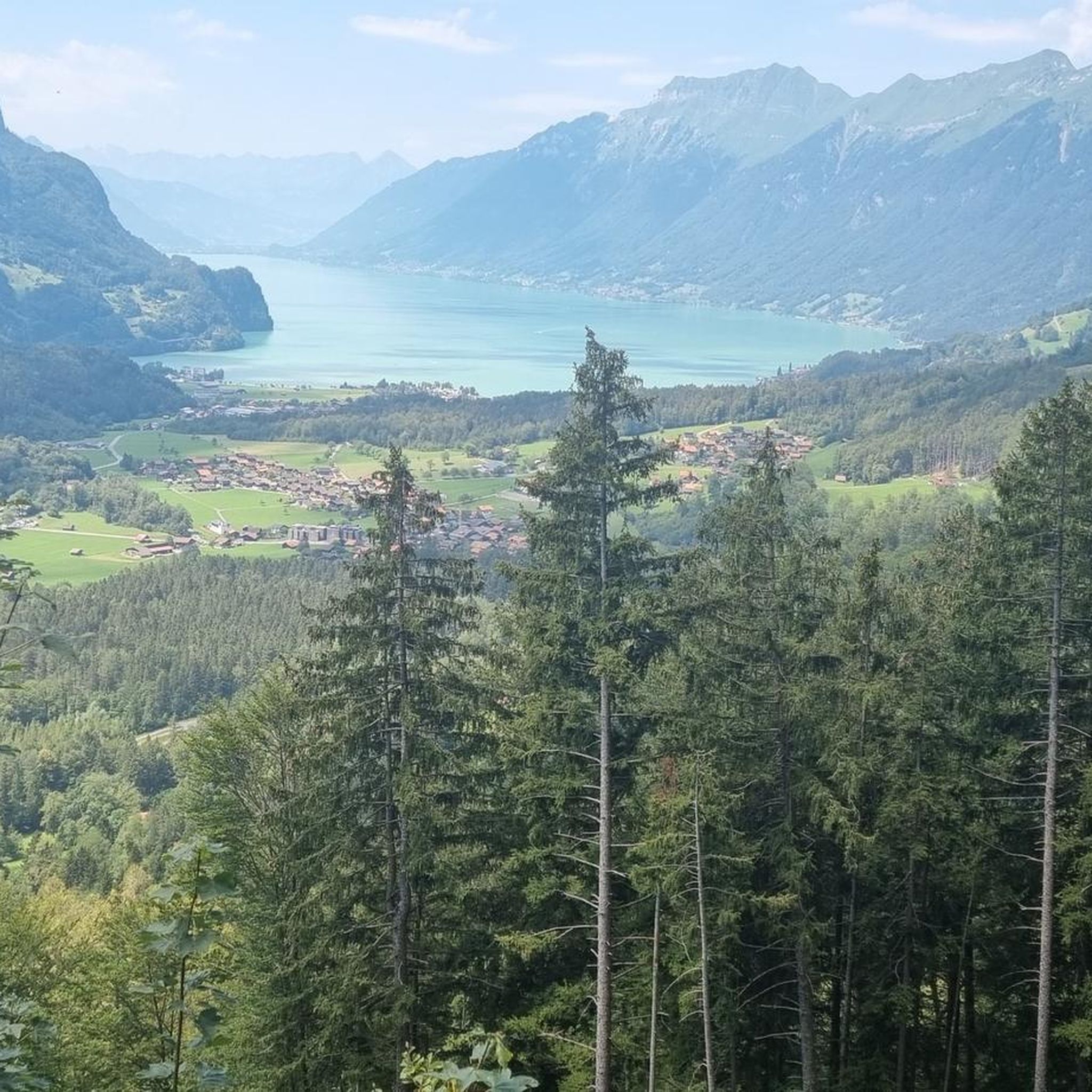
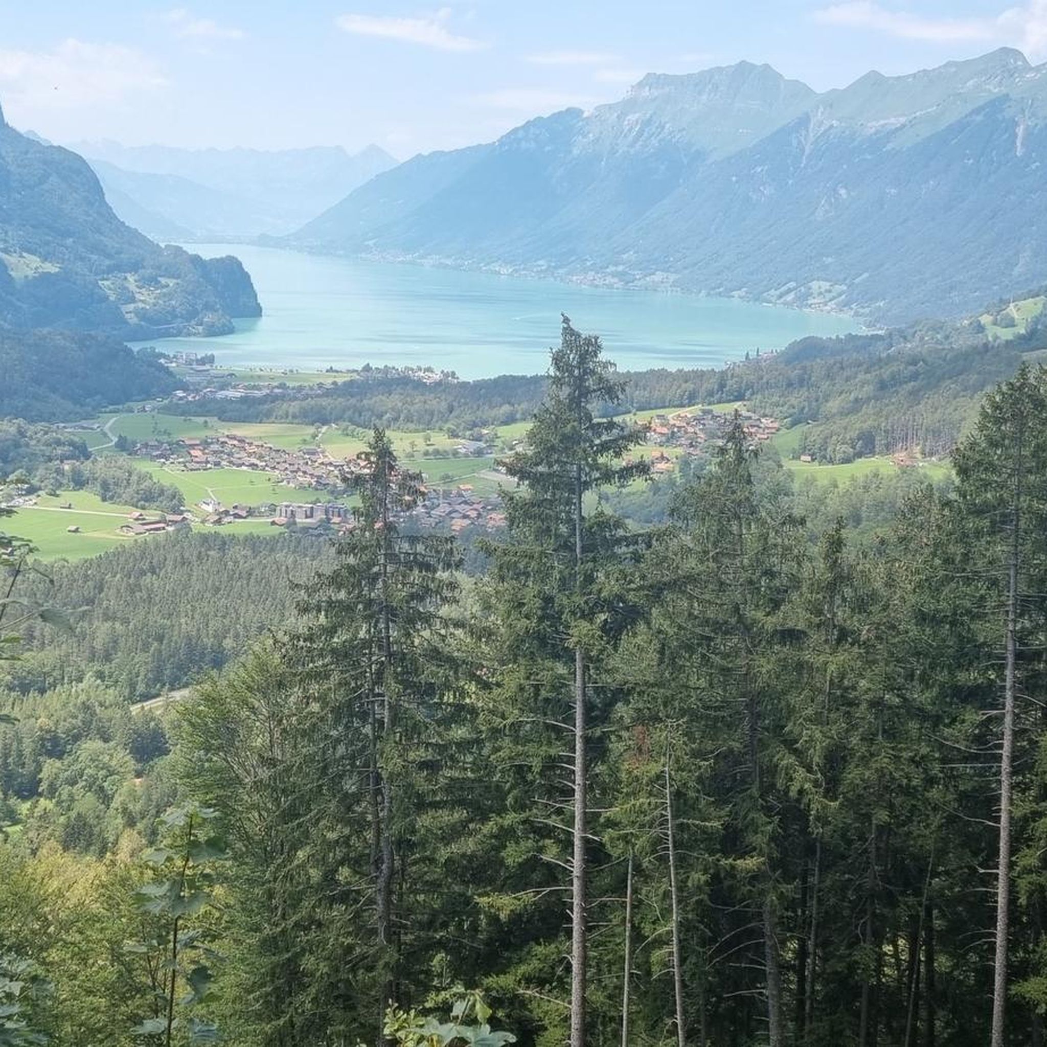
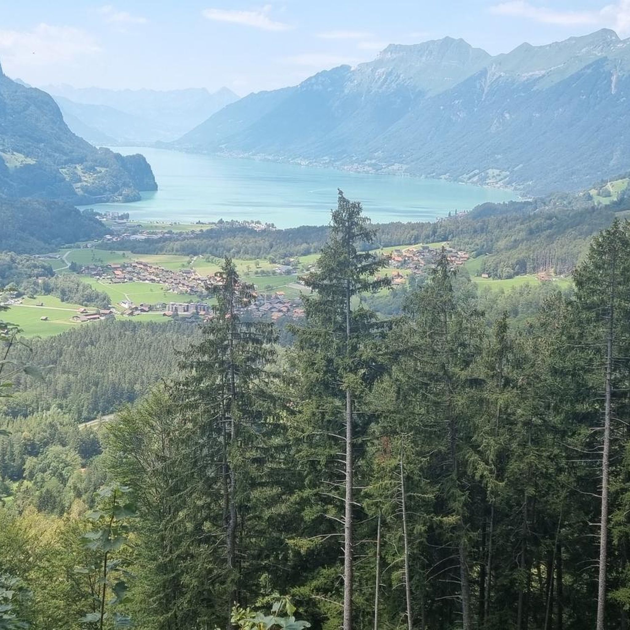
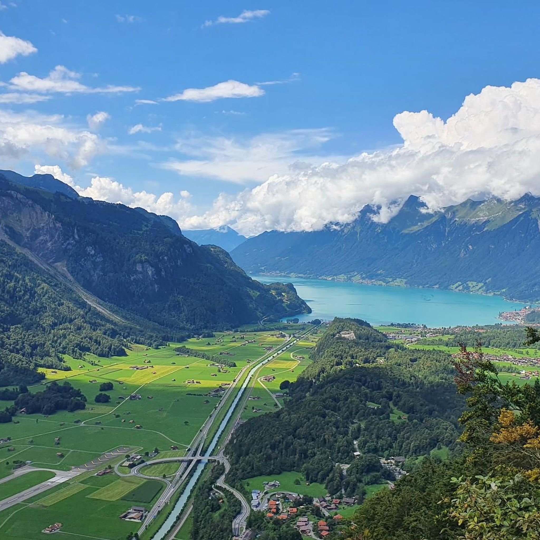
When you climb from Sörenberg, this is the point where you reach the ridge and see Lake Brienz and the peaks of the Bernese Oberland for the first time - breathtaking!
1
0

The "Lättgässli" is a gully on the north side of the Brienzer Grat with a developed, marked mountain hiking trail. The steep ascent and descent path is developed with steps in the upper part. Here the ridge path leading from the Rothorn changes from the south to the north side. It is therefore a kind of crossing over the Brienzer Grat at an altitude of 2160 m, without being a significant pass. Further down or west at Chrutere at an altitude of 2073 m, the path forks: to the southwest the path continues to the Chrutere pass and from there down to Planalp and Brienz; a steep path with a lot of scree leads down to the north on the steep northern slope of the mountain range down to Rossweid with the gondola down to Sörenberg or as a hiking trail to Sörenberg. Addition: As late as mid-June (2024) there was a lot of snow in the wide crevice. The ascent or descent was quite difficult. The wire rope safety device was absolutely necessary, but also problematic, namely far too loose, as it was obviously aimed at the steps further away.
2
2

A beautiful but one of the most dangerous climbs over the Hardergrat. Also in September there are many flying insects at the top.
2
2

Simply beautiful. Not for the faint hearted as this climb is quite technical.
3
1


