그레도스에서 가장 멋진 12개의 산 정상
그레도스의 산 정상에 오르면 이 지역의 아름다운 모습을 제대로 구경할 수 있어요. 다만, 12
곳이나 되는 산 정상 중에서 어떤 곳을 가야 할 지 고민된다는 게 문제죠. 그레도스에서 가장 멋진 산 정상을 살펴본 후에 마음에 드는 산 정상을 다음 모험 계획에 추가해보세요.
마지막 업데이트: 8월 28, 2026

Refugio Elola – 라구나 그란데 데 그레도스
하이라이트 • 산장
번역자 Google •
팁에 의해

이런 장소를 발견하려면 지금 가입하세요
최고의 싱글 트랙, 봉우리 및 다양한 흥미로운 야외 장소에 대한 추천을 받아보세요.
무료 회원 가입

시에라 데 그레도스 전망
하이라이트 • 전망대
번역자 Google •
팁에 의해

피코 라 갈라나 2563m
하이라이트 • 정상
번역자 Google •
팁에 의해

라 프리아 (1,983m)
하이라이트 • 정상
번역자 Google •
팁에 의해

Cabezo de Gavilanes
하이라이트 • 정상
번역자 Google •
팁에 의해

Risco de las Morillas
하이라이트 • 정상
번역자 Google •
팁에 의해

오늘 무료 계정으로 시작하세요
다음 모험이 기다리고 있어요.
로그인 또는 가입하기




커뮤니티 팁

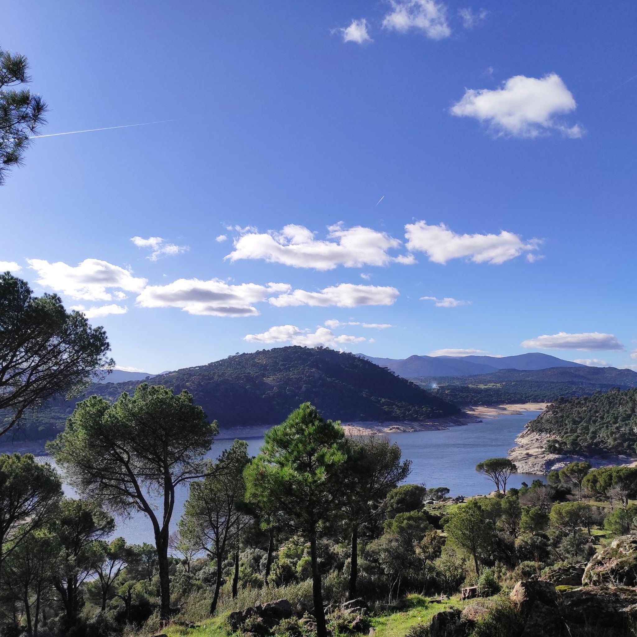
잘 알려지지 않은, 저평가된 봉우리이지만, 정상에서는 약간의 좋은 스크램블링과 Gredos 산맥의 멋진 전망을 제공합니다.
0
0

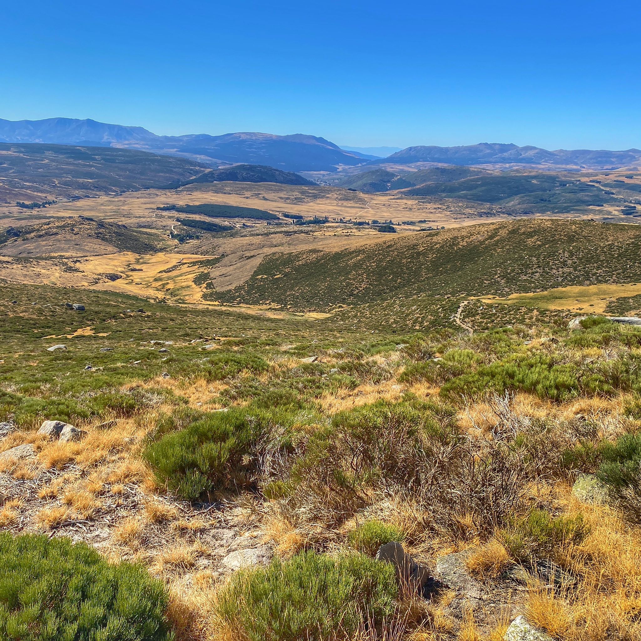
라구나 그란데 대피소 또는 엘롤라 대피소는 전략적인 지역에 위치해 있으며, 이곳에서 등산객들은 알만조르나 갈라나와 같은 그레도스의 가장 높은 봉우리들에 접근할 수 있습니다.
1
0

The Navarredonda de Gredos Stargazing Viewpoint is one of the most outstanding spots for astronomical observation in the Sierra de Gredos mountain range, within the Starlight Reserve, which guarantees dark skies free from light pollution. It is located in Navarredonda de Gredos (Ávila), at an altitude of approximately 1,600 meters, ensuring clear, unobstructed skies. It forms part of the network of stargazing viewpoints in the Gredos Regional Park, designed for astrotourism and night photography. It is near the Parador de Gredos hotel and the Navarredonda Children's Park, with easy access by car and a parking area.
1
0

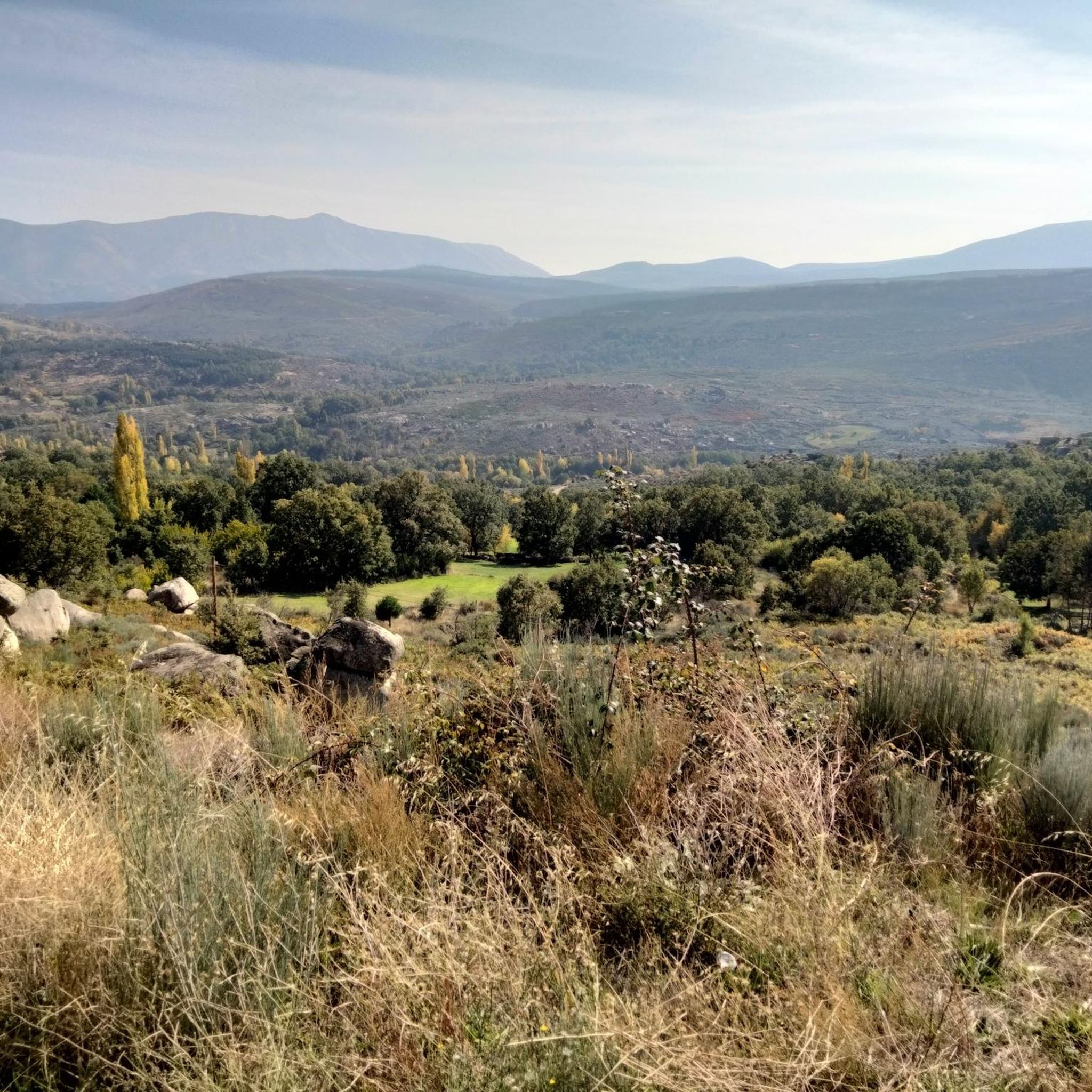
The ridge towards Rubia is full of bizarrely eroded large rock formations
0
0

Take the climb to Mira slowly, as it can leave you very depleted in terms of muscles.
1
0

Great high mountain refuge with all services
0
1

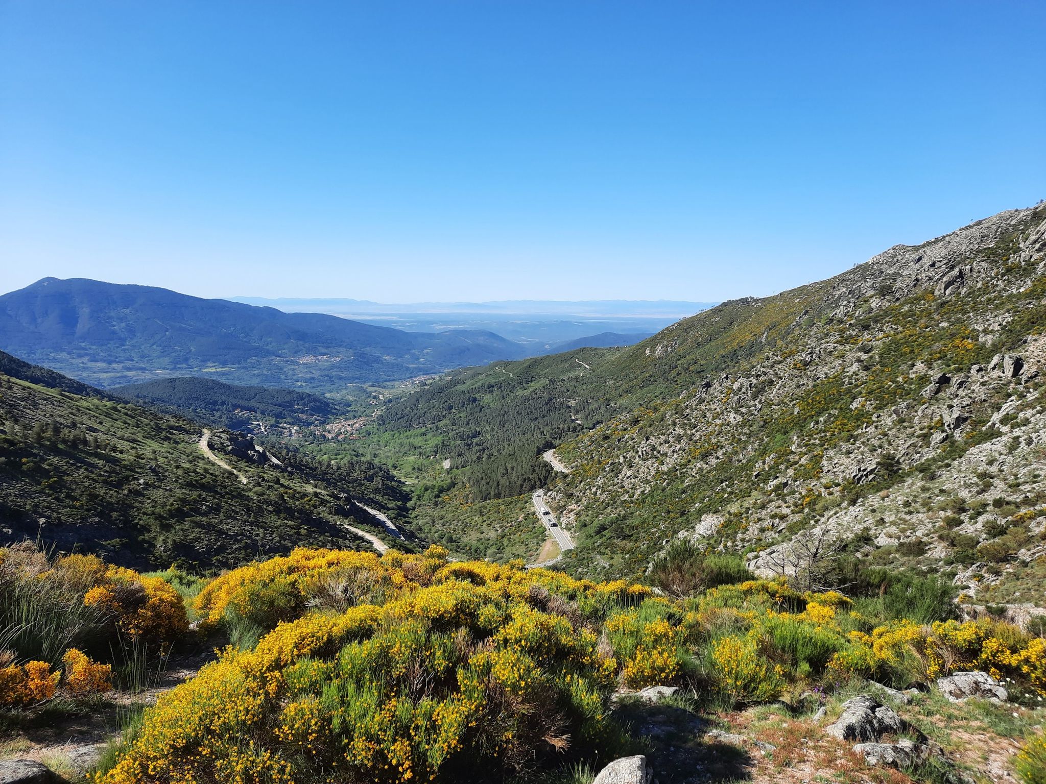
The route continues along the path that runs along the mountain range. The path is marked with stone markers from the end of the firebreak, it goes up to the right of the first block of the Risco del Bierzo and then to the left of the main summit to the extensive Bierzo hill. The geodesic vertex of La Fría draws attention at the top of some isolated and solitary cliffs, you have to climb the “little stick” at least to take the photo and for the views, although the route of the ridge offers an extraordinary panoramic view at all times. El Torozo and La Mira get almost all the attention. The trail leaves the summit of La Fría (1,983 m) on the left and goes down the southeast slope to the Morillas de Cañamarejo hill. The rope is difficult to run, you need to have experience, strong ankles and a taste for these technical trails on the Gredos summits. The path looks for the best passes on the southeastern slope of the granite towers and reaches the summit of Risco de las Morillas (1,992 m), the highest peak of the ridge and the roof of the trail, although there is no milestone, cross, or vertex. or sculpture that distinguishes the summit. The track passes through the summit because it is the highest point in the mountain massif between the port of Arenal and the port of Pico, for summit collectors, but it can be avoided by taking a shortcut directly through the base of the cliff.
0
0

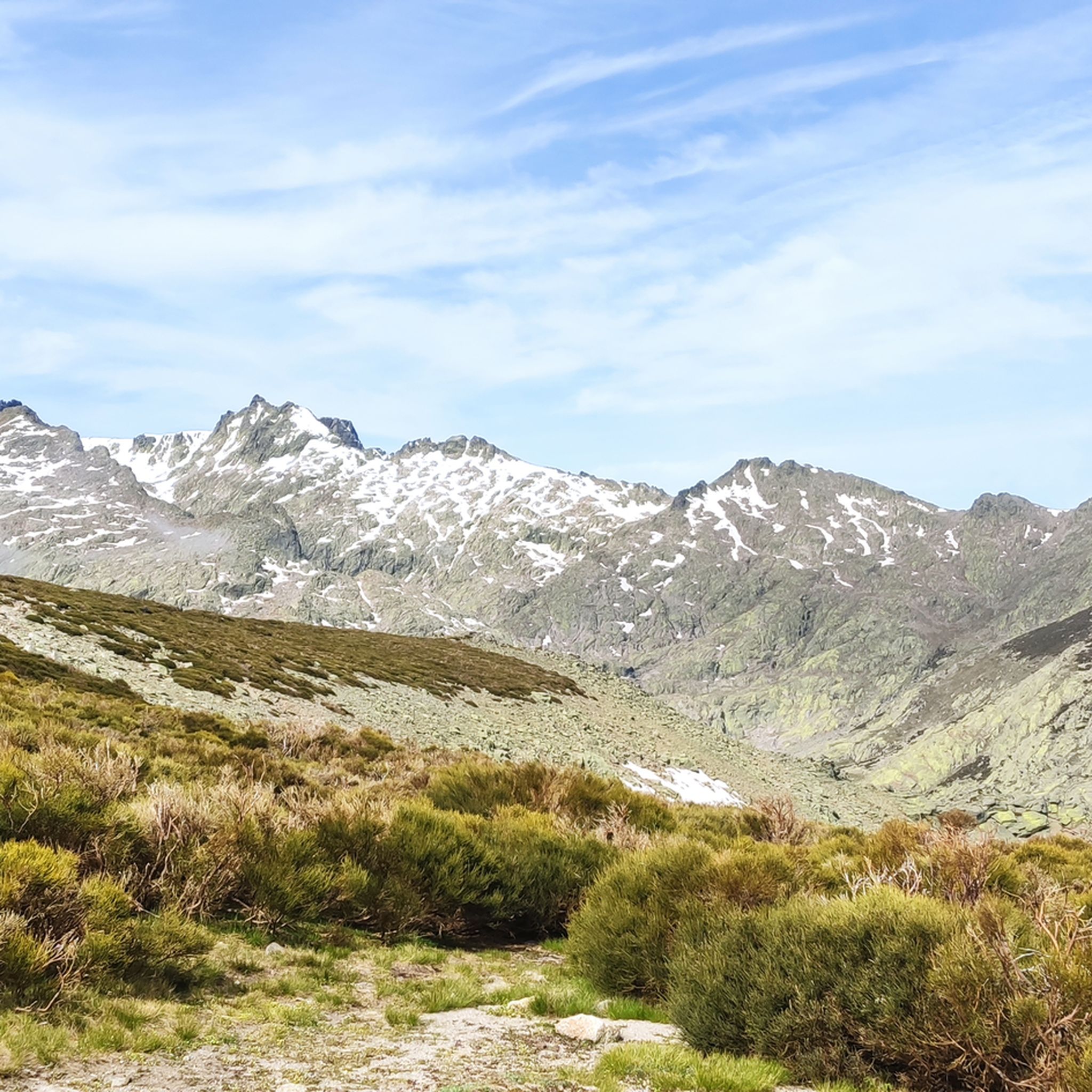
La Galana is a peak located in the Gredos mountain range, which in turn is part of the Central System mountain range. It is the second highest peak in the Central System at 2563 m above sea level. n. m.—only surpassed by the neighboring summit of Almanzor— and has a prominence of 85 meters. No less attractive is the ascent to the second highest peak in these parts. Sitting next to the king of the Central System, "La Dama de Gredos" boasts its 2,564 meters high and has in its favor the fact that there is less traffic than in Almanzor. We are facing a highly demanding route for which not everyone is prepared and which requires the use of special material if done in winter or spring. Therefore, when planning this experience you must take the conditions in Gredos into account. And, above all, be very aware of your abilities and limitations. It's about enjoying, not taking unnecessary risks. The final access must be through the Canal de la Notch, a stone wall in which you will have to climb and climb with high percentages before reaching the geodesic point. ASPECTS TO CONSIDER: - If you are not perfectly equipped and with the appropriate footwear, don't even get out of the car. - Carry enough water and food. - Don't forget the emergency material. You have to be prepared for everything. - Starting from Laguna Grande, pay attention to the milestones so as not to lose your way. - Always keep the weather forecast in mind. The mountains can bring you unpleasant surprises. - Calculate your time well and organize an overnight stay if you must. spend the night in the mountains - Use mountaineering equipment and if you go up in the cold months, crampons and ice axes are mandatory due to the accumulated snow.
1
0
그레도스 주변에서 가장 인기 있는 명소


찾고 계신 것을 찾지 못하셨나요?
그레도스의 최고의 봉우리와 정상들을 지역별로 발견해보세요:
더 살펴보기
이 가이드를 통해 그레도스 주변의 더 놀라운 정상들을 확인해보세요:
