알리칸테에서 가장 멋진 20개의 산 정상
알리칸테의 산 정상에 오르면 이 지역의 아름다운 모습을 제대로 구경할 수 있어요. 다만, 20
곳이나 되는 산 정상 중에서 어떤 곳을 가야 할 지 고민된다는 게 문제죠. 알리칸테에서 가장 멋진 산 정상을 살펴본 후에 마음에 드는 산 정상을 다음 모험 계획에 추가해보세요.
마지막 업데이트: 8월 30, 2026
페냐 데 이파치 정상
하이라이트 • 정상
번역자 Google •
팁에 의해


이런 장소를 발견하려면 지금 가입하세요
최고의 싱글 트랙, 봉우리 및 다양한 흥미로운 야외 장소에 대한 추천을 받아보세요.
무료 회원 가입

푸에르토 데 투돈스
하이라이트 • 산악 고개
번역문 보기
팁에 의해

고베르나도르 봉우리
하이라이트 • 정상
번역자 Google •
팁에 의해
라 만다리나에서 쿰브레 델 솔/푸이그 데 라 요렌사까지 오르기
하이라이트 (구간) • 등반
번역문 보기
팁에 의해
Montcabrer 정상
하이라이트 • 정상
번역자 Google •
팁에 의해
무료로 가입하여 알리칸테의 더 많은 봉우리를 발견하세요.
무료 회원 가입
이미 komoot 계정이 있나요?
오늘 무료 계정으로 시작하세요
다음 모험이 기다리고 있어요.
로그인 또는 가입하기
알리칸테 주변 인기 장소

트라이어슬롱 360 – 나의 세계 일주

해를 향한 길 - 남동 스페인으로 바이크패킹

La Vuelta 26 — All Official Stages
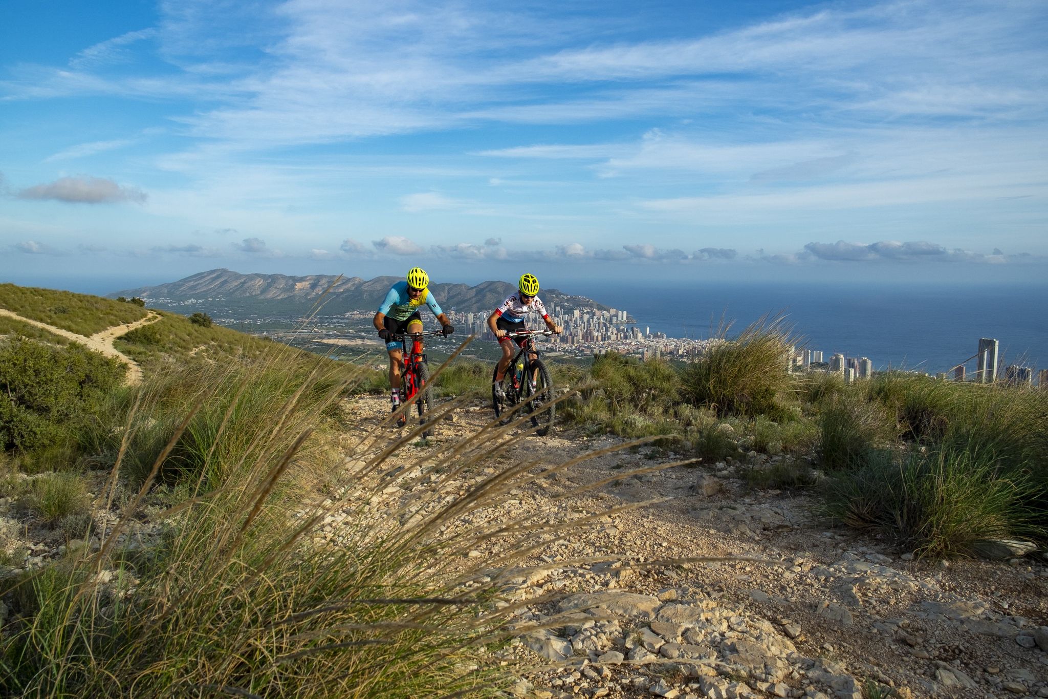
Costa Blanca on a gravel bike – the finest loops
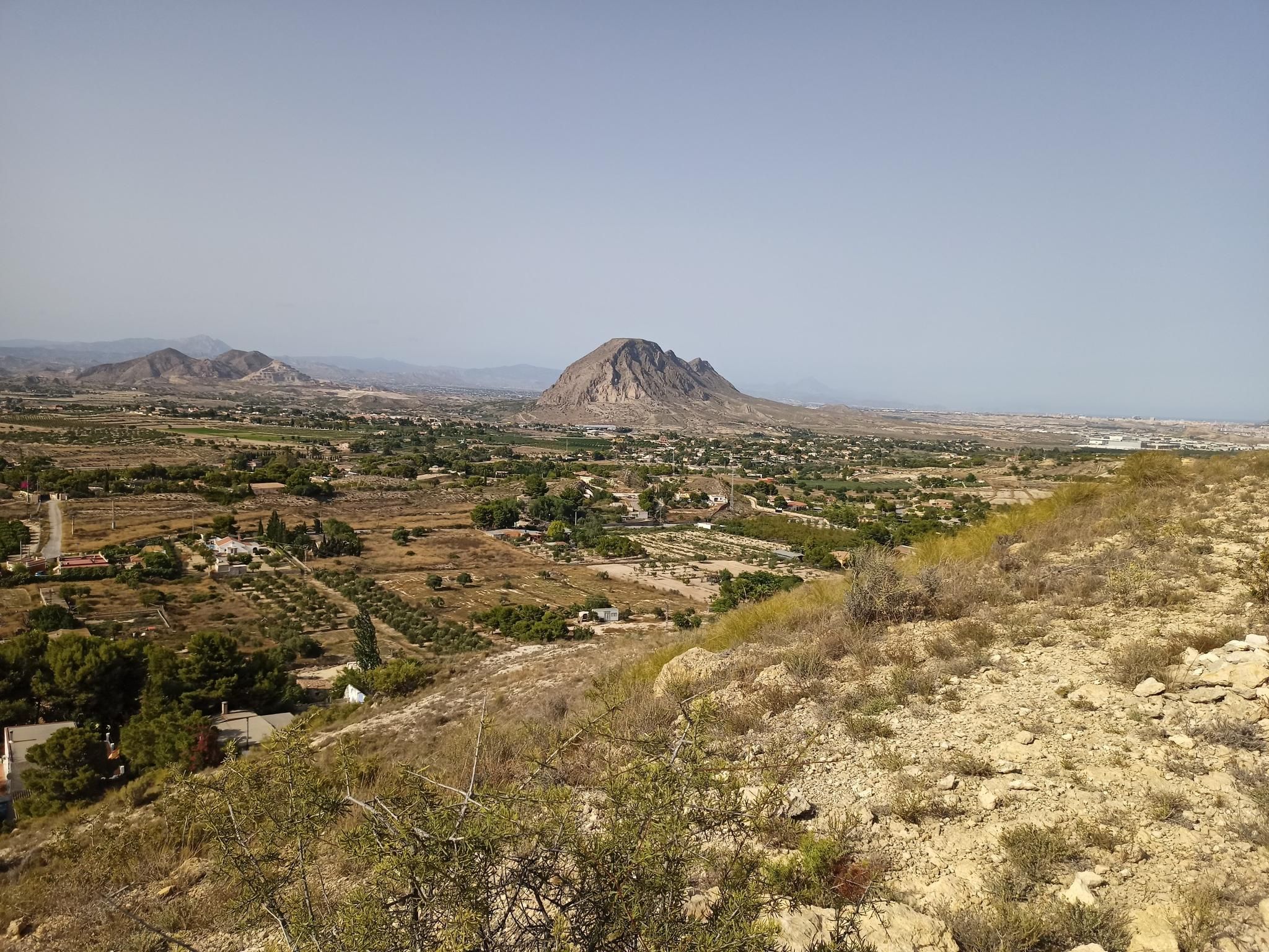
포에타 미겔 헤르난데스의 자취를 따라 - 센다 델 포에타 (GR 125)
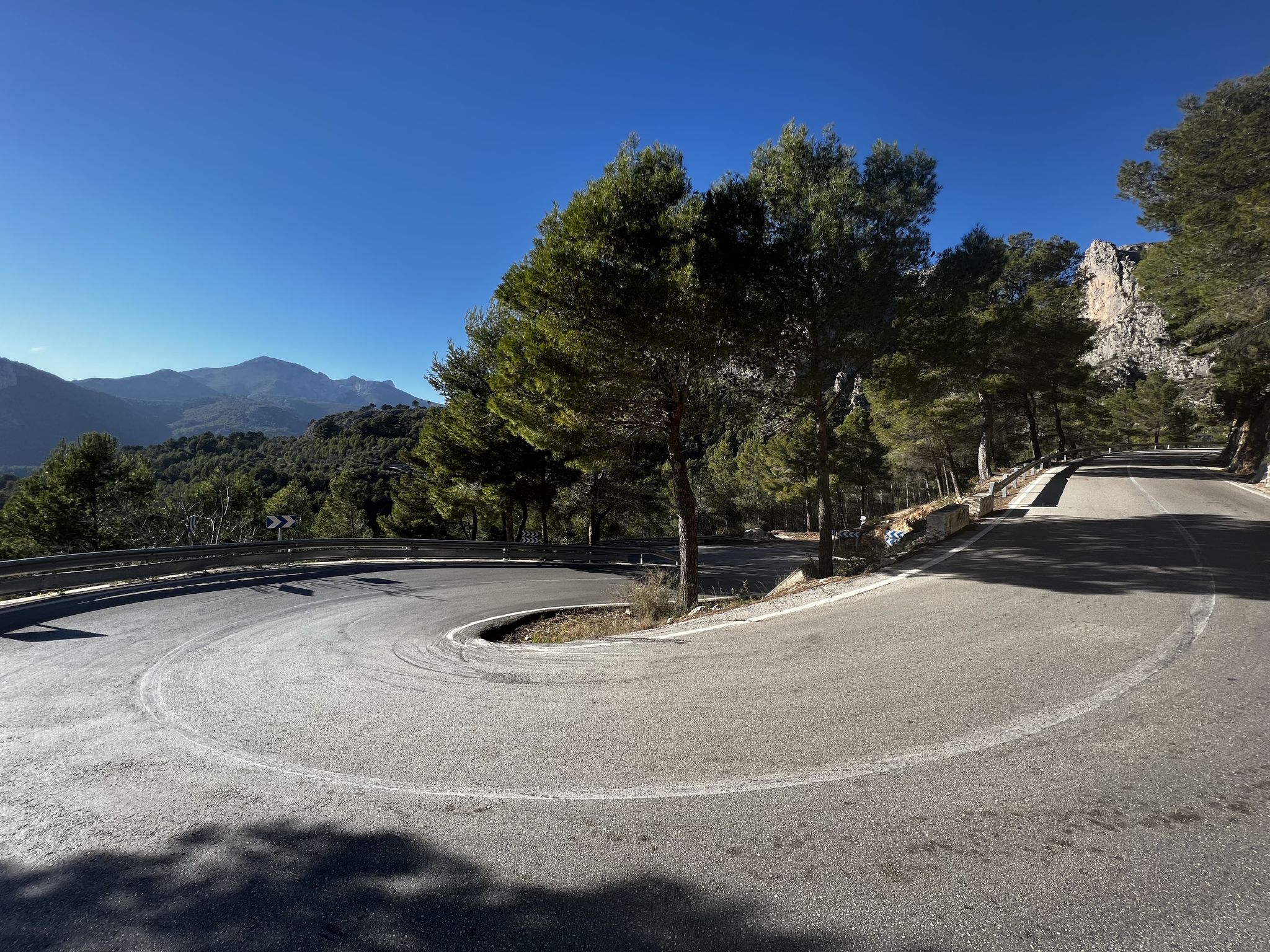
알리칸테 코스타블랑카의 해맞이 로드 자전거 모험
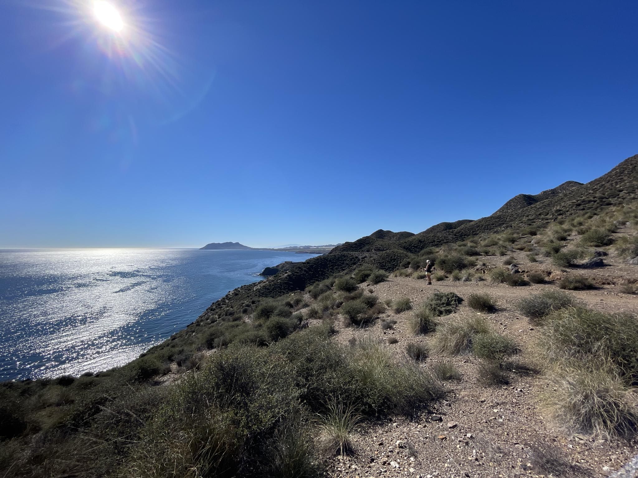
중지중해의 공업과 자연 - 무르시아의 GR 92를 등산하세요
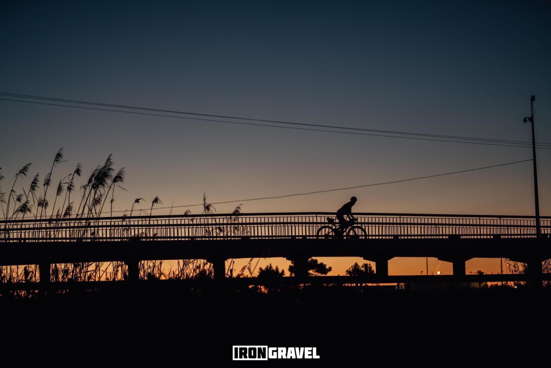
Iron Gravel 226k — 알리칸테 desconocido
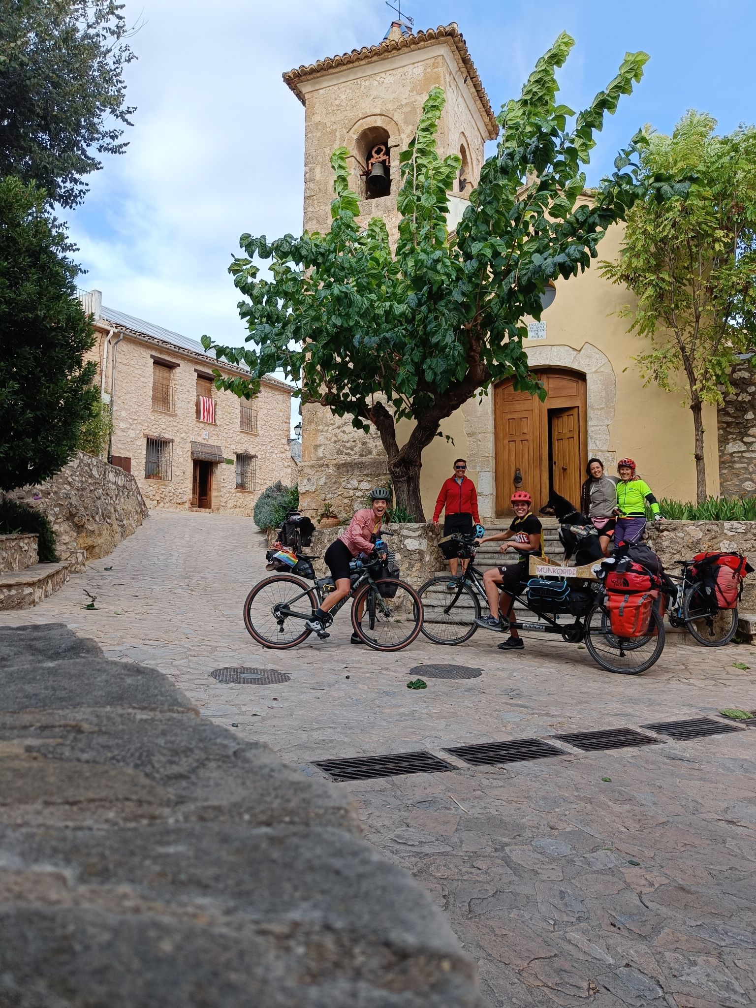
호확c일 오르 시작한 제도 오한 대지이 실패
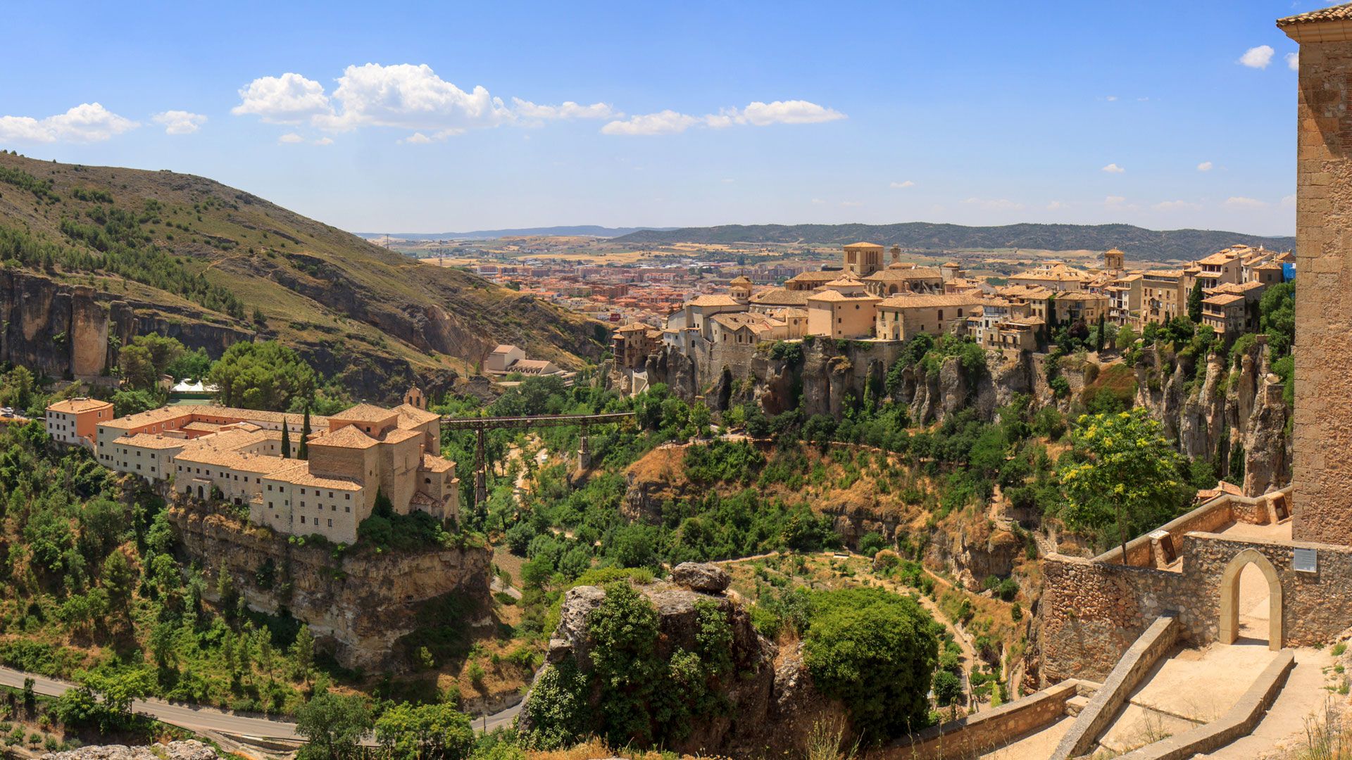
레반테-카스티야 - Ruta de la Lana Gravel Route
알리칸테의 다른 모험


커뮤니티 팁

매우 아름답지만, 난이도에 관한 댓글에서 정상에 대한 묘사가 너무 장밋빛이라는 점을 유의하세요. 정상은 확실히 빨간색(=어려움)입니다. 이는 한 시간 내내 등반을 해야 함을 의미합니다. 올라갈 때와 내려갈 때 모두 한 시간씩입니다. 그 외에는 아름답습니다.
0
0


Want a slightly steadier start to Cumbre del Sol? Choose the other side, just outside Benitachell (on the road from/to Jávea). This side is still very tough, but the gradients are a bit more even. The final kilometre is identical to the famous Mercadona climb, with ramps above 15% and the same breathtaking summit view.
2
0
The climb to Cumbre del Sol / Puig de la Llorença starts a small distance from Benitachell, at the turn-off next to Mercadona (on the way to Moraira). It’s a short but brutal 4 km climb with ramps of 10–12% and pitches above 15%. At the summit, you’re rewarded with stunning views of the Mediterranean, Calpe, and even Ibiza. This climb is famous as a Vuelta a España stage finish, won by stars like Chris Froome and Tom Dumoulin.
2
0

The summit of Peñón de Ifach is 332 meters above sea level. To reach the top, follow the Red Route of the Peñón de Ifach Natural Park. This route begins at the visitor center and passes through a tunnel before reaching the summit. The hike is challenging, especially after the tunnel, where the terrain becomes steeper and more slippery. Hands are required for support in some places, as is appropriate footwear. The views from the summit are spectacular, offering panoramic views of the Mediterranean Sea and the Calpe coast.
11
0

A tough climb, especially the final section. The views once you're up there are worth every effort. I'm sure you'll be back for it.
0
0

https://www.covatalladadenia.com/en/ The Cova Tallada is a natural jewel on the Costa Blanca. It is a cave at sea level that offers one of the most unforgettable views of nature. The spectacular cave, created by man in the XII-XIV centuries, makes this place a human masterpiece. In addition, the natural pool at the foot of the cave and the incredible arches make this place a must-see for everyone.
1
0

Good hiking boots with ankle protection, enough water. Small section where there is some climbing (easy)
2
1


더 살펴보기
이 가이드를 통해 알리칸테의 더 놀라운 정상들을 확인해보세요:
