20의 알리칸테가지 명소 & 주요 장소
알리칸테에는 둘러볼 만한 장소가 많답니다. 하이킹 또는 사이클링을 좋아한다면 알리칸테에 숨겨진 20
가지 보석을 만날 수 있을 거예요. 이 지역의 주요 명소를 살펴보면서 다음 모험을 계획해보세요.
마지막 업데이트: 8월 30, 2026
Coll de Rates
하이라이트 • 산악 고개
번역문 보기
팁에 의해

페냐 데 이파치 정상
하이라이트 • 정상
번역자 Google •
팁에 의해

이런 장소를 발견하려면 지금 가입하세요
최고의 싱글 트랙, 봉우리 및 다양한 흥미로운 야외 장소에 대한 추천을 받아보세요.
무료 회원 가입
콜 데 라테스 고개
하이라이트 (구간) • 산악 고개
번역문 보기
팁에 의해

포라트 데 베르니아
하이라이트 • 동굴
번역자 Google •
팁에 의해


데니아에서 간디아까지의 비아 베르데
하이라이트 (구간) • 자전거 도로
번역자 Google •
팁에 의해


라 발 드 에보 고개
하이라이트 • 산악 고개
팁에 의해

무료로 가입하여 알리칸테의 더 많은 명소를 발견하세요.
무료 회원 가입
이미 komoot 계정이 있나요?
오늘 무료 계정으로 시작하세요
다음 모험이 기다리고 있어요.
로그인 또는 가입하기
알리칸테 주변 인기 장소

트라이어슬롱 360 – 나의 세계 일주

해를 향한 길 - 남동 스페인으로 바이크패킹

La Vuelta 26 — All Official Stages
Costa Blanca on a gravel bike – the finest loops
포에타 미겔 헤르난데스의 자취를 따라 - 센다 델 포에타 (GR 125)
알리칸테 코스타블랑카의 해맞이 로드 자전거 모험
중지중해의 공업과 자연 - 무르시아의 GR 92를 등산하세요
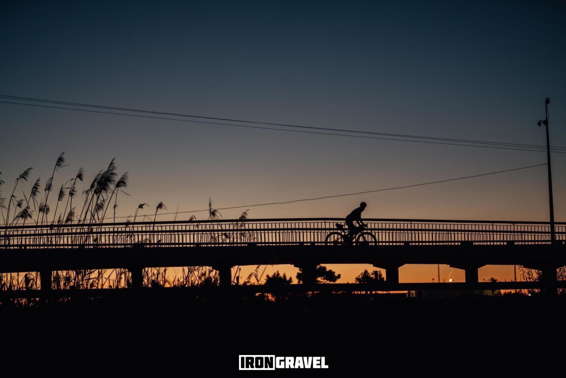
Iron Gravel 226k — 알리칸테 desconocido
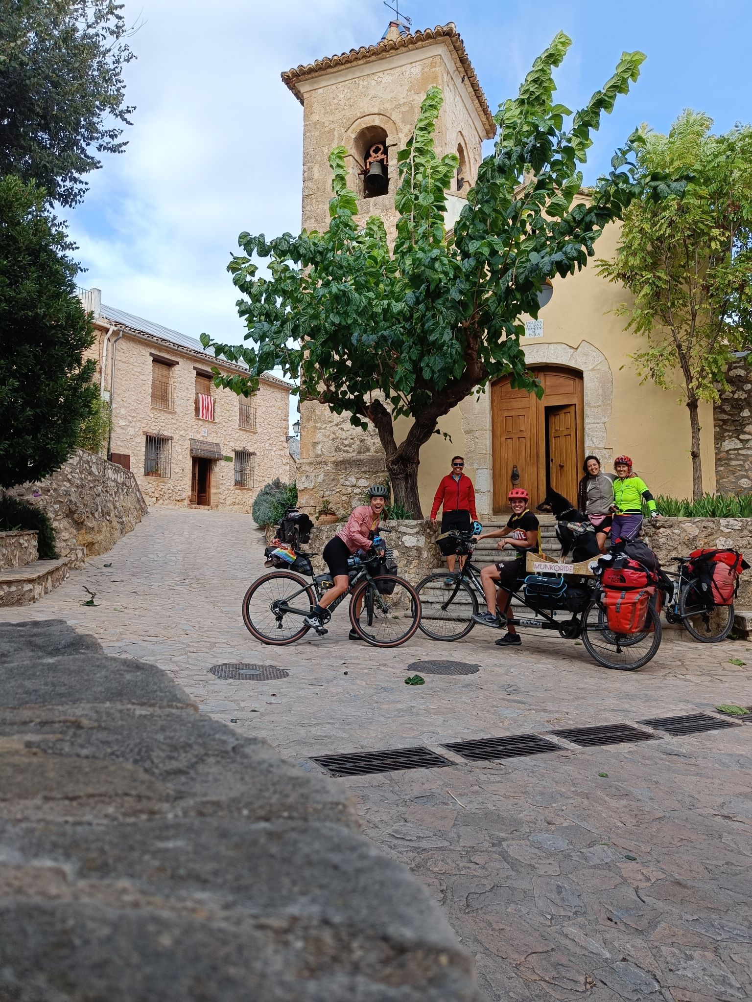
호확c일 오르 시작한 제도 오한 대지이 실패
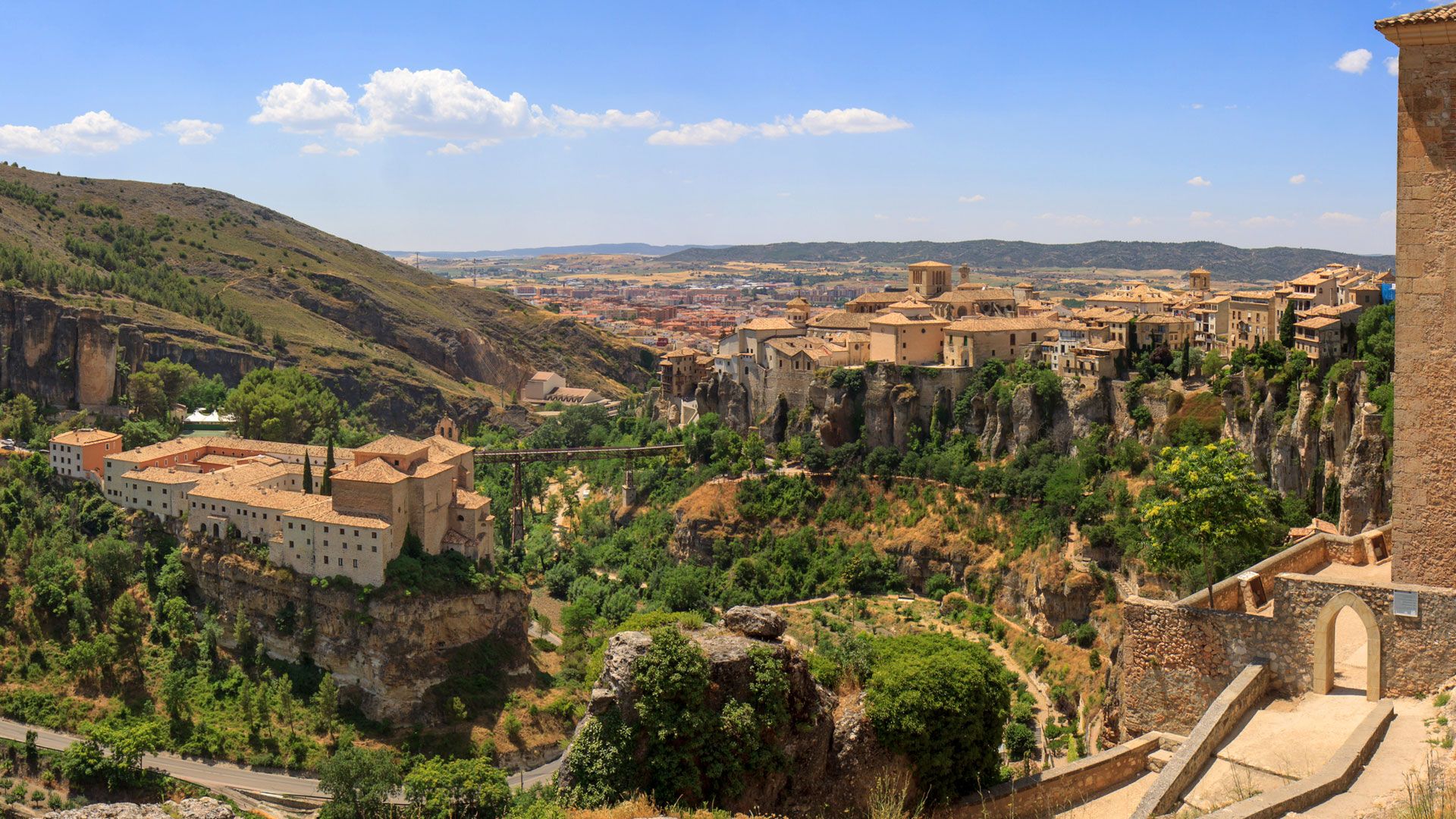
레반테-카스티야 - Ruta de la Lana Gravel Route
알리칸테의 다른 모험


커뮤니티 팁

The Green Way of Dénia (Vía Verde Dénia-El Verger) is one of the most beautiful and easily accessible routes in the municipality. It follows the old railway line that connected Dénia with Carcaixent (Valencia) and is now an ideal route for hiking, cycling, or simply relaxing in a peaceful and natural setting.
3
0

Good paved road, moderate traffic. Views of the reservoir, the Aitana and Serrella mountain ranges, and villages like Beniardà and Benimantell.
6
0

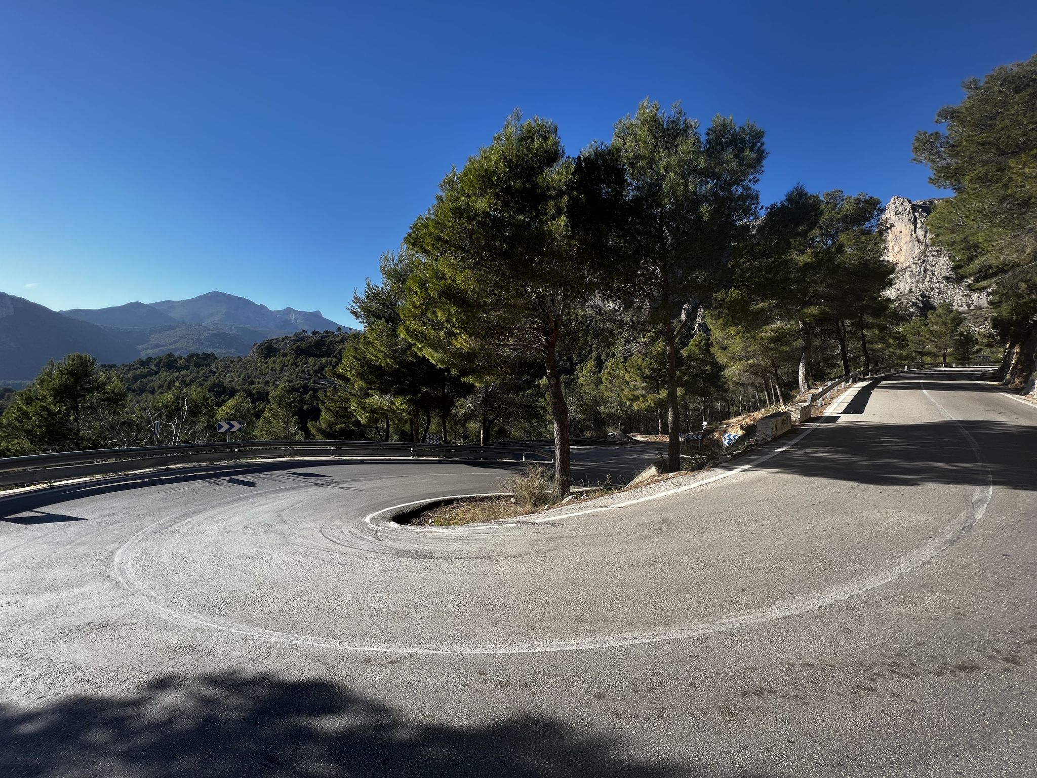
Just off the road between Sagra and Pego, the small turnoff toward Vall d’Ebo leads into one of the most beautiful and tranquil climbs in the Costa Blanca mountains. It may not be famous outside of cycling circles — but pros know it well: Tadej Pogačar holds the Strava KOM on this climb. From the Pego side, the ascent runs for about 8 km, gaining 400 metres at a steady average of 5%. The road is smooth, quiet, and beautifully engineered — with a flowing rhythm and wide, elegant curves. The landscape is peaceful and wild, with cliffs, pines, and far-reaching views. At the top, just before you descend into Vall d’Ebo, you’re rewarded with a spectacular view in both directions: looking back, the coastline and the Mediterranean Sea; looking ahead, the lush green valley of Vall d’Ebo, framed by rugged ridges and rocky outcrops. It’s a rare and stunning double panorama. If you continue past the village, you can create a magnificent loop via Pla de Petracos, riding through remote canyons and ancient rock formations before descending into Benigembla and back to the Vall de Pop. If you're riding from Vall d’Ebo toward Pego, the climb is shorter — about 3 km at 6% — but still very scenic, especially as you rise above the valley with dramatic views behind you. Vall d’Ebo may be quiet, but it’s world-class: pure road, total calm, and the kind of climb you’ll want to ride again and again.
3
1
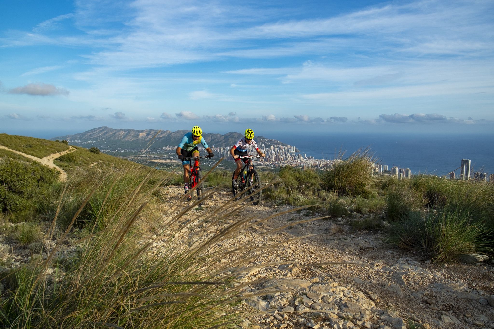
코스타 블랑카 사이클링을 정의하는 오르막이 있다면 바로 Coll de Rates입니다. Parcent 마을에서 시작하는 이 전설적인 오르막은 주말의 강자부터 투르 드 프랑스 챔피언까지 전 세계 사이클리스트들에게 필수 코스가 되었습니다. 이 오르막은 길이가 7km가 조금 안 되고 평균 경사가 약 5%로, 접근하기 쉬우면서도 리듬감 있게 오를 수 있습니다. 도로 상태는 훌륭하고, 커브는 우아하며, 계곡 위로 올라갈수록 경치는 점점 더 좋아집니다. 프로 선수들 사이에서는 비밀이 아닙니다. Jumbo-Visma, INEOS, UAE Team Emirates 등의 선수들이 겨울 훈련을 위해 정기적으로 Coll de Rates를 이용합니다. Tadej Pogačar가 현재 스트라바 KOM을 보유하고 있다는 사실은 이곳에서 자신을 시험해 본 선수들의 수준을 짐작하게 합니다. 맑은 날에는 정상에서의 전망이 숨 막힐 정도로 아름답습니다. 해안선을 따라 펼쳐지며, 운이 좋으면 이비사 섬까지 희미하게 반짝이는 것을 볼 수 있습니다. 정상에는 카페가 있고(계절 운영), Tarbena 또는 Castell de Castells를 향한 내리막길도 그만큼 보람 있습니다. 풍경, 꾸준한 경사, 사이클링 역사의 조화로 Coll de Rates는 세계에서 가장 많이 오르고 가장 사랑받는 오르막 중 하나입니다. 이 지역에서 단 하나의 오르막만 오른다면, 이곳을 선택하십시오.
10
3
The Coll de Rates consistently ranks in the top ten of the most ridden mountains every year. Pro riders compete for the best times.
2
1

It's worth going up the castle just for the views that accompany us along the way. I recommend entering from Eret Park. P.S. Admission to the castle is free :)
4
0
The summit of Peñón de Ifach is 332 meters above sea level. To reach the top, follow the Red Route of the Peñón de Ifach Natural Park. This route begins at the visitor center and passes through a tunnel before reaching the summit. The hike is challenging, especially after the tunnel, where the terrain becomes steeper and more slippery. Hands are required for support in some places, as is appropriate footwear. The views from the summit are spectacular, offering panoramic views of the Mediterranean Sea and the Calpe coast.
11
0


더 살펴보기
찾고 있는 하이라이트를 아직 못 찾으셨나요? 다른 지역의 주요 명소 가이드를 확인해보세요:
