쉬운 해안 산맥 하이킹 및 워킹 코스
4.7
(1837)
26,242
등산객
1,906
하이킹
도보로 해안 산맥 주변을 탐험하며 자연과 하나 되는 경이로운 경험을 해보세요. 모험을 온전히 즐길 수 있도록 쉬운 난이도로 엄선한 해안 산맥 최고의 하이킹과 워킹 경로를 살펴보세요. 가벼운 하이킹, 자녀와 함께하는 탐험, 가족이 함께하기 좋은 야외 활동을 위한 완벽한 선택. 모두를 위한 경로가 준비되어 있답니다.
마지막 업데이트: 8월 31, 2026
5.0
(4)
58
등산객
5.59km
01:43
190m
190m
초급용 하이킹. 모든 체력 수준에 적합. 실력과 관계없이 누구나 쉽게 갈 수 있는 길.
4.6
(7)
50
등산객
5.12km
01:24
80m
70m
초급용 하이킹. 모든 체력 수준에 적합. 실력과 관계없이 누구나 쉽게 갈 수 있는 길.

무료 회원 가입
5.0
(1)
32
등산객
5.27km
01:37
160m
210m
초급용 하이킹. 모든 체력 수준에 적합. 실력과 관계없이 누구나 쉽게 갈 수 있는 길.
31
등산객
6.68km
01:54
150m
140m
초급용 하이킹. 모든 체력 수준에 적합. 실력과 관계없이 누구나 쉽게 갈 수 있는 길.
28
등산객
6.62km
01:54
140m
140m
초급용 하이킹. 모든 체력 수준에 적합. 실력과 관계없이 누구나 쉽게 갈 수 있는 길.
5.0
(1)
26
등산객
4.70km
01:12
20m
20m
초급용 하이킹. 모든 체력 수준에 적합. 실력과 관계없이 누구나 쉽게 갈 수 있는 길.
5.0
(3)
24
등산객
4.38km
01:11
50m
60m
초급용 하이킹. 모든 체력 수준에 적합. 실력과 관계없이 누구나 쉽게 갈 수 있는 길.
5.0
(2)
26
등산객
2.77km
00:52
110m
110m
초급용 하이킹. 모든 체력 수준에 적합. 실력과 관계없이 누구나 쉽게 갈 수 있는 길.
5.0
(1)
22
등산객
1.97km
00:32
30m
30m
초급용 하이킹. 모든 체력 수준에 적합. 실력과 관계없이 누구나 쉽게 갈 수 있는 길.
4.7
(7)
21
등산객
4.90km
01:30
190m
140m
초급용 하이킹. 모든 체력 수준에 적합. 실력과 관계없이 누구나 쉽게 갈 수 있는 길.
더 다양한 경로와 다른 탐험가들의 추천을 살펴보세요.
무료 회원 가입
이미 komoot 계정이 있나요?
투어 추천은 다른 사람들이 komoot에서 완료한 수천 개의 활동을 바탕으로 구성되어 있습니다.
오늘 무료 계정으로 시작하세요
다음 모험이 기다리고 있어요.
로그인 또는 가입하기
해안 산맥 주변 인기 장소

4,200 킬로미터의 원정 - 태평양 꼭대기 트레일 멕시코에서 캐나다까지

Bay Area Ridge Trail — The Bay의 등뼈를 따라 Hiking
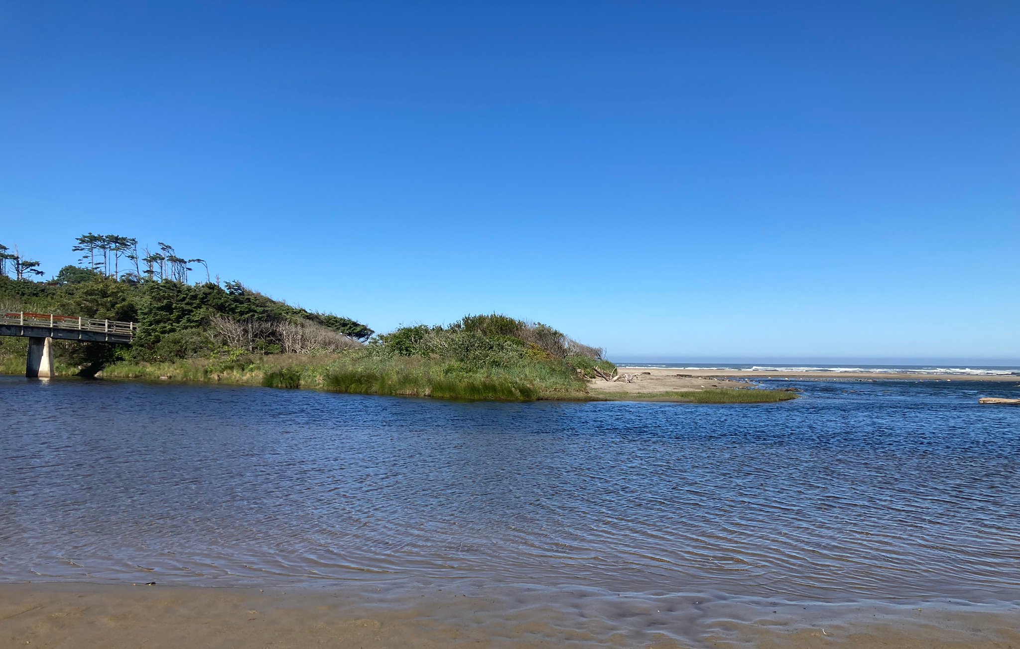
Corvallis-to-the-Sea Trail — 야생 Oregon을(를) 산책

Bigfoot Trail — 떨어져 있는 Klamath 산맥을 탐험하기
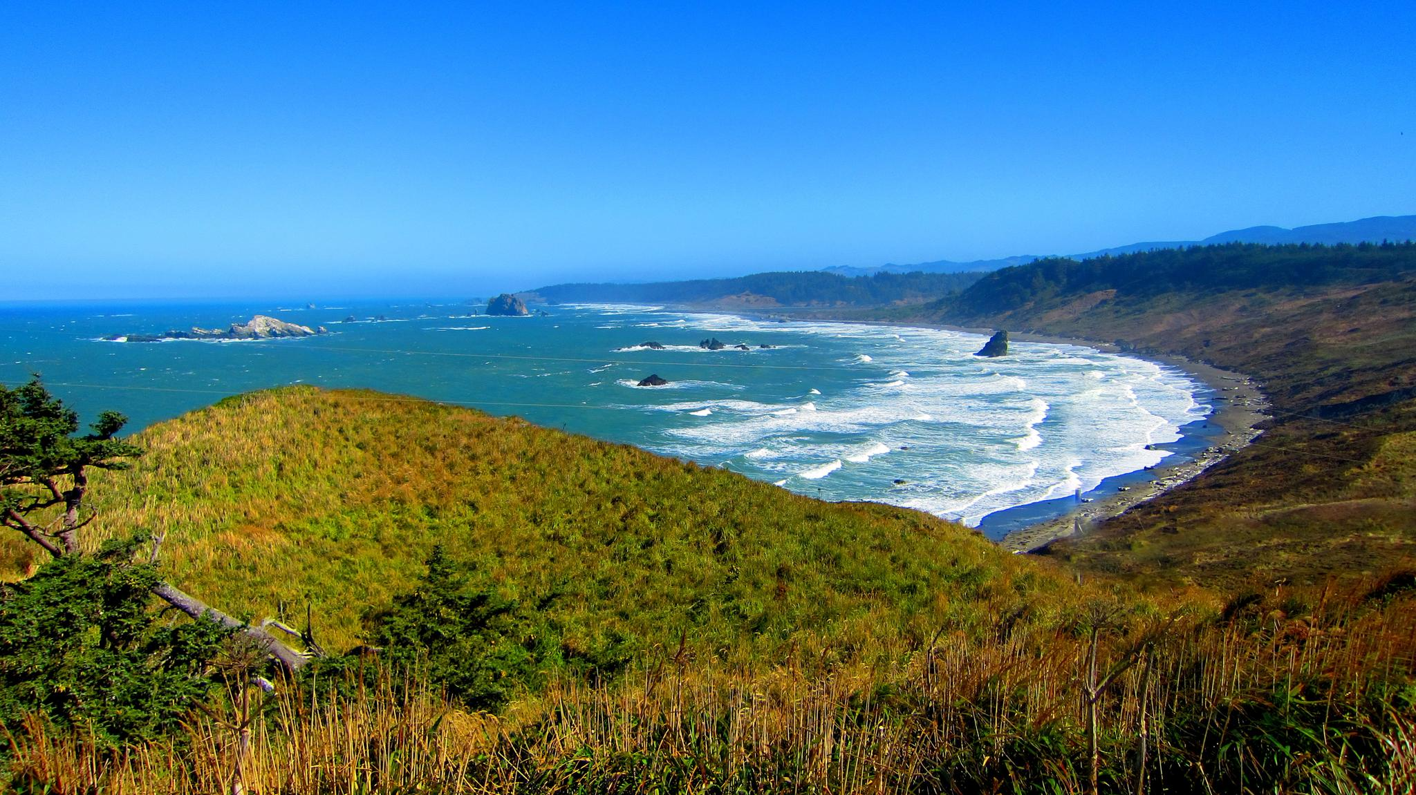
Oregon Coast Trail — 태평양 가장자리를 따라가는 잊을 수 없는 산책

Hiking treasures in the Bay Area

Bay Area Ridge Trail — San Francisco Bay를 돌며

California Coastal Trail — 멕시코에서 Oregon까지 해안선을 따라
해안 산맥의 다른 모험


커뮤니티 팁

False Klamath Rock is a small island off the coast of False Klamath. There are great views of the island from the California Coastal Trail.
0
0

Set back slightly from the trail, this bench provides views into the redwoods at all times of the day. A welcome rest stop for folks heading up the East Ridge.
0
0

Every winter thousands of ladybugs gather and overwinter. Information boards give more background information.
1
0

The East Ridge Overlook offers wonderful panoramic views of the Reinhardt-Redwood Regional Park.
0
0

Del Valle Lake was formed by Del Valle Dam, completed in 1968. The lake, about 5 miles long, has trails meandering along it, offering stunning views along the way. As the name suggests, the lake is tucked in a valley, with plenty of higher vantage points to enjoy the views.
0
0
Rainbow Lake is the second-biggest lake of the Quarry Lake Regional Park and a tranquil spot in Fremont.
0
0

The first section of East Shore Trail passes by Arroyo Del Valle River and then goes towards a steep ridge line by the southern Livermore Hills, delivering sweeping panoramic views of the parkland.
0
0
Lake Del Valle is an artificial impoundment located in the dry Livermore Valley. The lake is formed by the Arroyo del Valle River and is surrounded by the grassy hills of Del Valle Regional Park. The area has 4395 acres of parkland, offering many hiking trails with views and lake access. There is not much shade in the park, so it is recommended to visit the park during spring, autumn, and winter seasons to avoid high temperatures.
0
0


더 살펴보기
다른 지역의 최고의 하이킹를 살펴보세요.
