쉬운 유콘 하이킹 및 워킹 코스
4.7
(229)
1,895
등산객
84
하이킹
도보로 유콘 주변을 탐험하며 자연과 하나 되는 경이로운 경험을 해보세요. 모험을 온전히 즐길 수 있도록 쉬운 난이도로 엄선한 유콘 최고의 하이킹과 워킹 경로를 살펴보세요. 가벼운 하이킹, 자녀와 함께하는 탐험, 가족이 함께하기 좋은 야외 활동을 위한 완벽한 선택. 모두를 위한 경로가 준비되어 있답니다.
마지막 업데이트: 10월 14, 2026
4.8
(13)
130
등산객
5.93km
01:55
280m
280m
초급용 하이킹. 모든 체력 수준에 적합. 실력과 관계없이 누구나 쉽게 갈 수 있는 길.
4.8
(13)
130
등산객
5.93km
01:55
280m
280m
초급용 하이킹. 모든 체력 수준에 적합. 실력과 관계없이 누구나 쉽게 갈 수 있는 길.

4.9
(7)
73
등산객
6.50km
01:42
50m
50m
Hike the easy North Klondike Trail in Tombstone Territorial Park, offering 4.0 miles (6.5 km) of varied terrain and mountain views.
4.1
(7)
21
등산객
4.97km
01:20
60m
60m
초급용 하이킹. 모든 체력 수준에 적합. 실력과 관계없이 누구나 쉽게 갈 수 있는 길.
4.0
(2)
12
등산객
4.53km
01:11
30m
40m
초급용 하이킹. 모든 체력 수준에 적합. 실력과 관계없이 누구나 쉽게 갈 수 있는 길.
5.0
(2)
13
등산객
2.80km
00:43
10m
10m
초급용 하이킹. 모든 체력 수준에 적합. 실력과 관계없이 누구나 쉽게 갈 수 있는 길.
11
등산객
6.55km
01:39
10m
10m
Hike the easy 4.1-mile Millennium Trail in Whitehorse, Yukon, enjoying views of the Yukon River and historic sites.
5.0
(1)
6
등산객
6.49km
01:44
70m
70m
초급용 하이킹. 모든 체력 수준에 적합. 실력과 관계없이 누구나 쉽게 갈 수 있는 길.
5.0
(1)
4
등산객
2.31km
00:47
120m
120m
초급용 하이킹. 모든 체력 수준에 적합. 실력과 관계없이 누구나 쉽게 갈 수 있는 길.
3.0
(2)
8
등산객
3.67km
01:03
80m
80m
Hike the easy 2.3-mile Liard Canyon Trail in Yukon for expansive views of the Liard River canyon and interpretive panels.
더 다양한 경로와 다른 탐험가들의 추천을 살펴보세요.
이미 komoot 계정이 있나요?
투어 추천은 다른 사람들이 komoot에서 완료한 수천 개의 활동을 바탕으로 구성되어 있습니다.
오늘 무료 계정으로 시작하세요
다음 모험이 기다리고 있어요.
유콘 주변 인기 장소

쉬운 around Yukon, Unorganized 하이킹 코스

쉬운 펠리 산맥 하이킹 코스

쉬운 세인트 엘리아스 산맥 하이킹 코스

쉬운 Kluane National Park And Reserve 하이킹 코스
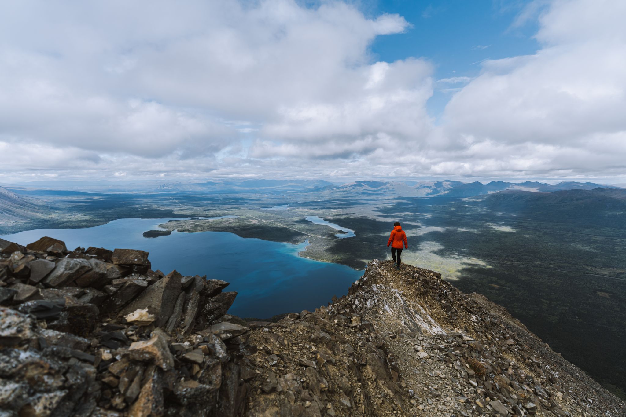
The Yukon, larger than life – hiking in the Canadian Great North

Canada by train – scenic hikes from Western stations
The longest footpath in the world – Trans Canada Trail
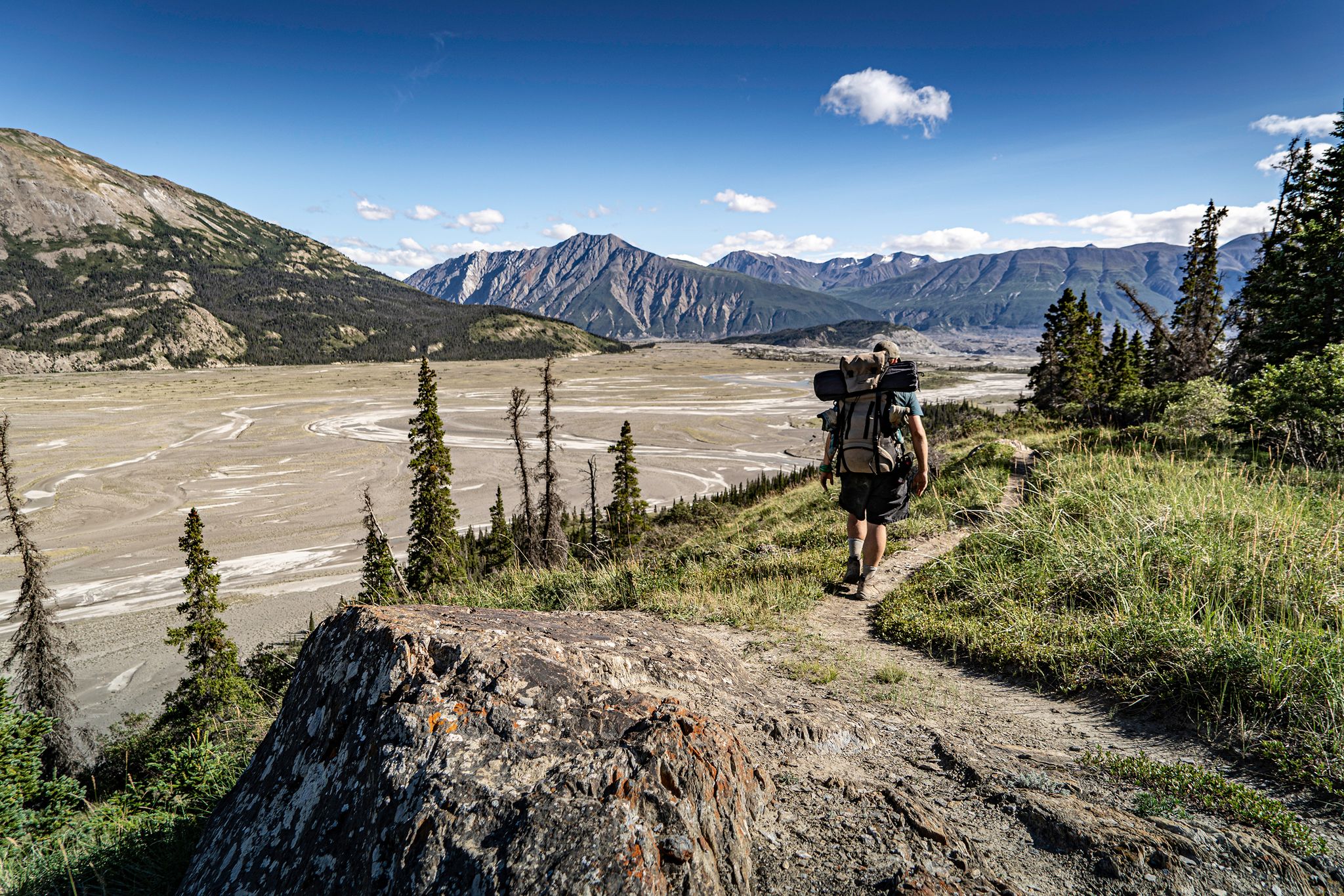
Adventure Yukon – stunning hikes on your road trip

오화리스타 80일 시작스
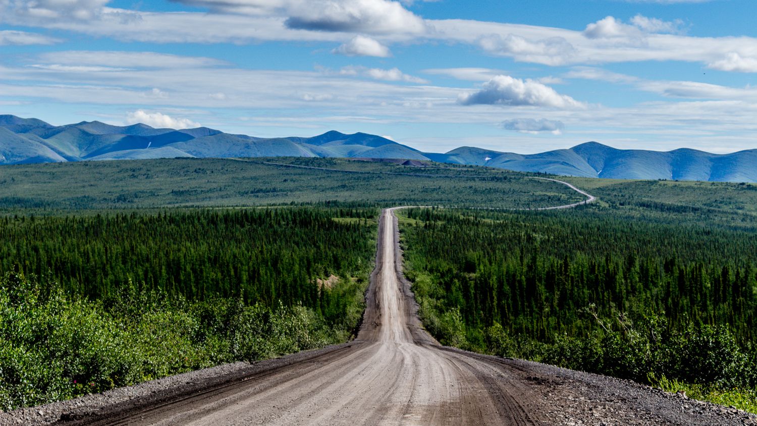
Canada's Dempster Highway — make 자갈 대단하게 다시
유콘의 다른 모험


커뮤니티 팁

Just south of Lucky Lake Cemetery sits Lucky Lake, best known as a peaceful rest and camping area frequented by travelers heading to or from the Yukon. It has easy access to Liard River Hot Springs and the Liard River Corridor Provincial Park.
0
0
Lucky Lake Recreation Area is just over the border of the Yukon and British Columbia, and has all sorts of things to do. There is a water slide into Lucky Lake, sandy shores, a hiking trail, a welcome to the Yukon sign, a restroom, picnic benches, and more.
0
0
The Liard River stretches 1,115 kilometers and is one of the largest tributaries of the Mackenzie River system. It begins it's journey at the Yukon Plateau near Muncho Lake and flows southeast through the rugged Liard River Valley before finishing at the Mackenzie River. The Liard is a wild river that flows through remote boreal forests and mountains, with natural hot springs along its banks.
0
0

The Miles Canyon Suspension Bridge spans the emerald-green waters of the Yukon River where it flows through the volcanic rock walls of Miles Canyon. The bridge was built in 1922 to help cross the Yukon River before there were any nearby roads. Today's modern suspension bridge was built in the same spot and is a pedestrian-only bridge that gently sways.
2
0
This little island is accessible via a short scramble over a few boulders and has excellent views of the Yukon River, as does much of the Lower Canyon City Trail. It is a great spot on a hike to stop, eat a snack, and take in the views.
1
0
The Chadburn Red Ski Trail passes through mixed spruce and aspen forests in the Chadburn Lake recreation area. Despite its name, the Red Ski Trail isn’t only for skiing, it's also popular with hikers and mountain bikers, as the trail is snow-free.
0
0
The North Klondike River Trail will take you deeper into the northern Yukon’s wild, following the North Klondike River up to open tundra and boreal forest. From the end of the trail and the top of the climb, there are open views of the Ogilvie Mountains and the dramatic peaks of Tombstone Mountain and Mount Monolith in the distance. In the summer, this trail is home to wildflowers, year-round dwarf birch, and lichen-covered rocks, and this area is also home to caribou, marmots, and bears.
0
0
Edge of the Arctic is a short 400-meter loop off the North Klondike River Trail, a shorter, family-friendly loop with interpretive panels that explain how the subarctic boreal forest transitions into tundra. Visitors will be able to enjoy views from this short loop without the climb of the North Klondike River Trail.
1
0
유콘에서 가장 인기 있는 경로
유콘에서 가장 인기 있는 명소


찾고 계신 것을 찾지 못하셨나요?
유콘에서 더 많은 하이킹를 확인하고 목적지에서 완벽한 경로를 찾아보세요.
더 살펴보기
다른 지역의 최고의 하이킹를 살펴보세요.
