브리티시 컬럼비아에서 가장 멋진 20개의 호수
브리티시 컬럼비아에서 가장 멋진 호수를 방문하고 싶나요? 호숫가의 고요한 분위기를 느끼거나 날씨가 따뜻한 날 호수에 발을 살짝 담글 수 있다면 얼마나 좋을까요? Komoot 커뮤니티가 추천한 브리티시 컬럼비아의 주요 호수를 아래에서 살펴보고, 다음 모험 때 직접 찾아가보세요!
마지막 업데이트: 9월 7, 2026
스탠리 파크의 토템 폴
하이라이트 • 기념물
번역자 Google •
팁에 의해


이런 장소를 발견하려면 지금 가입하세요
최고의 싱글 트랙, 봉우리 및 다양한 흥미로운 야외 장소에 대한 추천을 받아보세요.


버그 레이크 트레일
하이라이트 • 트레일
번역자 Google •
팁에 의해


그린 호수의 수상 비행기
하이라이트 • 호수
팁에 의해

무료로 가입하여 브리티시 컬럼비아의 더 많은 호수를 발견하세요.
이미 komoot 계정이 있나요?
오늘 무료 계정으로 시작하세요
다음 모험이 기다리고 있어요.
브리티시 컬럼비아 주변 인기 장소
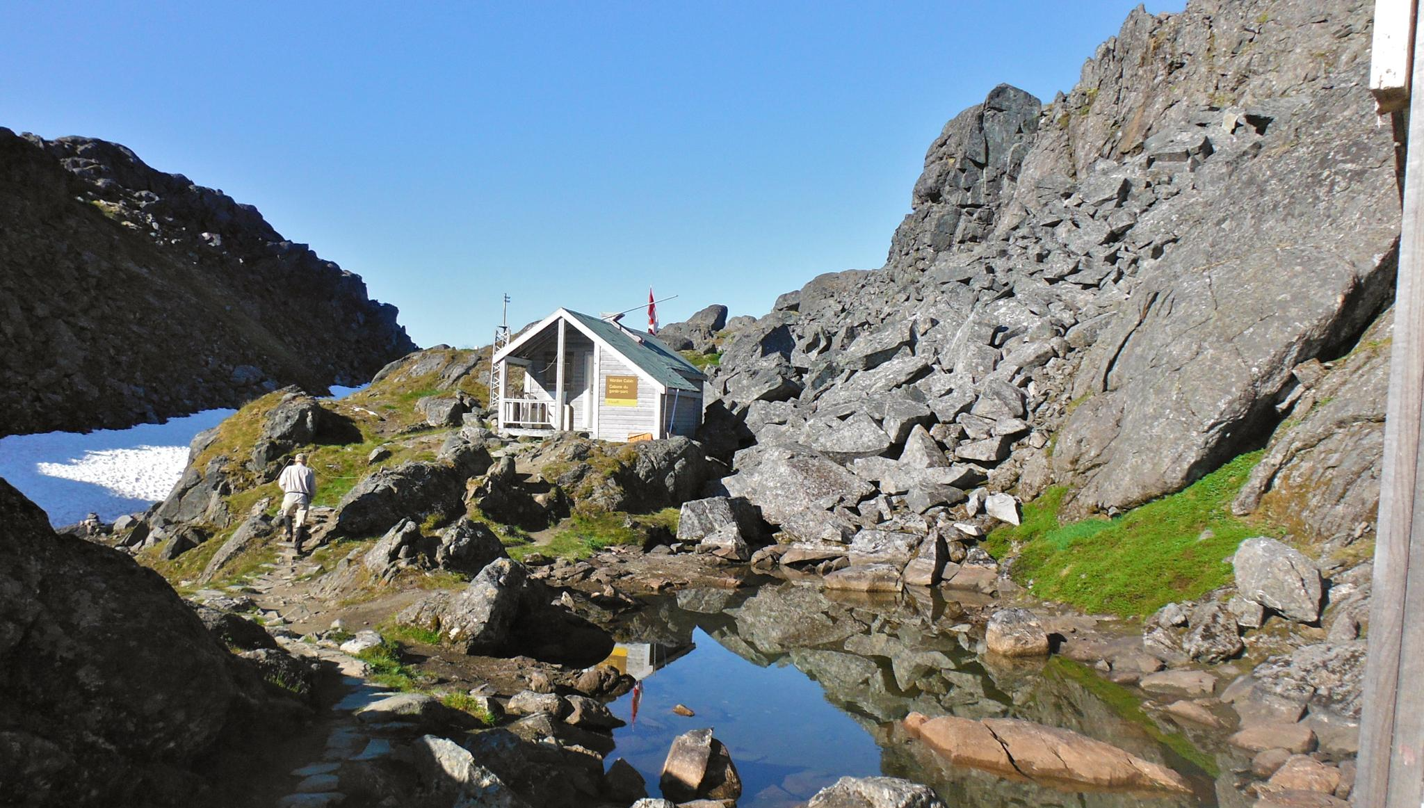
칠쿠트 트레일 — 웅장한 산맥 사이에서 펼쳐지는 골드 러시 역사

그레이트 디바이드 산악 자전거 루트 - 대륙의 척추를 자전거로 달리다
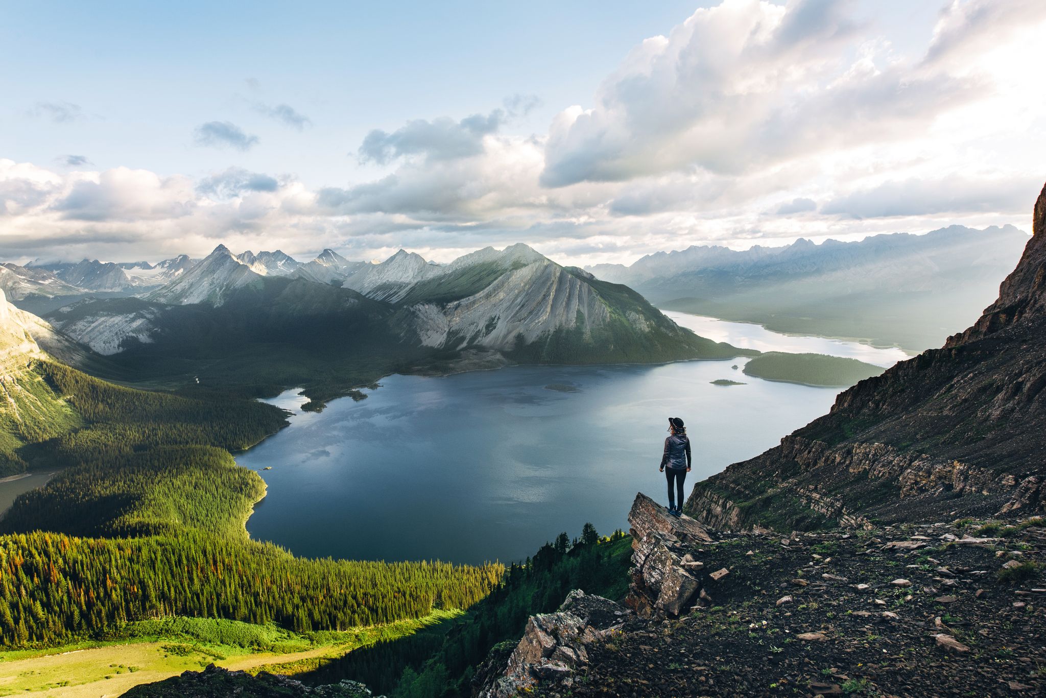
Long-distance hiking in Canada – between mountains and coast

Cross Canada Ride — 동쪽으로 6,800km 진행

4,200 킬로미터의 원정 - 태평양 꼭대기 트레일 멕시코에서 캐나다까지

BC 에픽 1000

오화리스타 80일 시작스
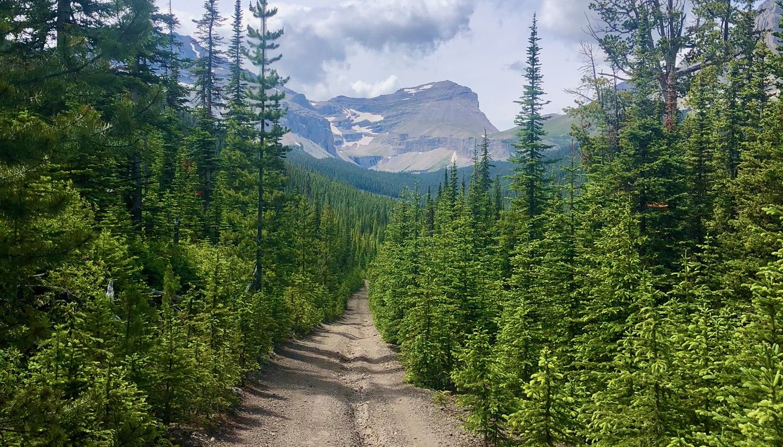
록키 산맥 뛰기 - 산악 빠른 배낭 투어 #5

Bikepacking British Columbia — Vancouver 왕복
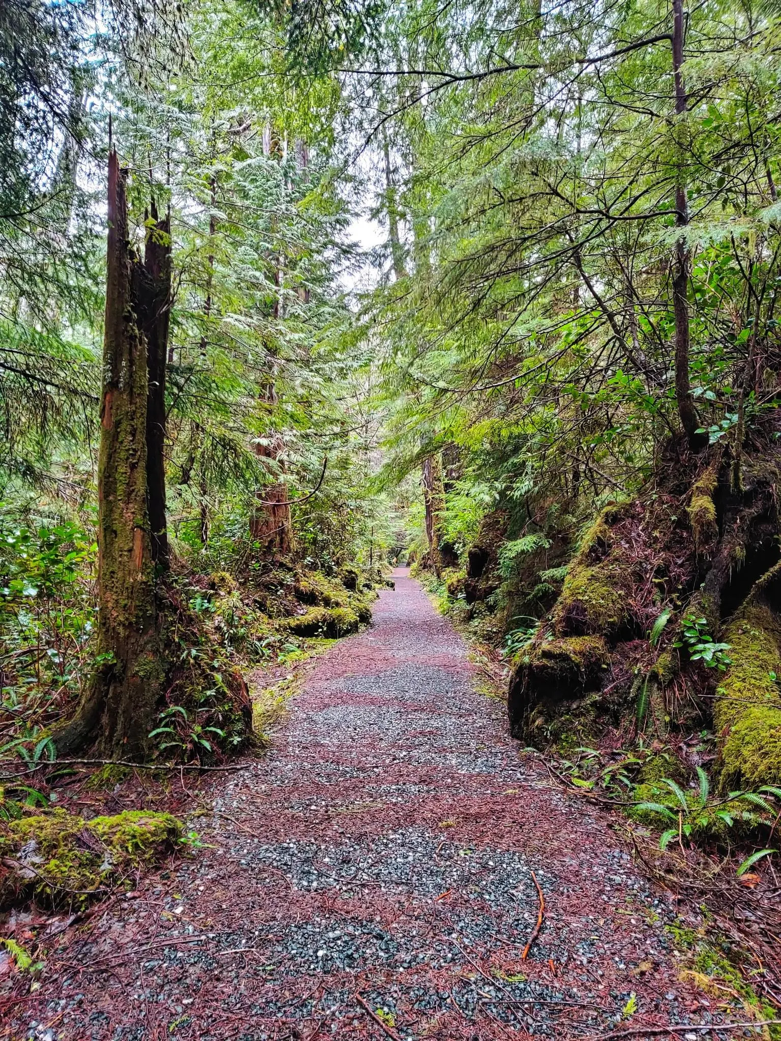
노스 코스트 트레일 — 밴쿠버 섬의 가장 거친 모험
브리티시 컬럼비아의 다른 모험


커뮤니티 팁


요호 국립공원에 있는 멋진 호수입니다. 호수 왼쪽은 걷기 좋습니다. 오른쪽은 진흙탕이 많아 조금 더 어렵지만, 상황을 개선하기 위해 현재 널빤지 길이 건설 중입니다. 현재 튼튼한 신발을 강력히 추천합니다. 멋진 산의 경치를 감상하며 호수 주변을 도는 보트 여행으로 하이킹을 마무리하세요. 강력 추천합니다.
0
0

A very beautiful mountain lake and a great ensemble with the mountains.
1
0


In Vancouver's beautiful Stanley Park, you can admire several totem poles for free. Each one has an explanation, and the path to the pole is signposted.
1
0

Upper Joffre Lake lies at an elevation of 1,570 m and is easily accessible along a shady forest trail. Below the lake, the ascent takes you past the rushing Holloway Falls. There is an elevation difference of approximately 60 meters between Middle and Upper Joffre Lake. The lakeshore offers a stunning panorama, including Joffre Peak and Slalok Mountain, as well as the glacial base of Mount Matier; the mountain peak itself is not visible from here. (Visit May 28, 2025)
2
0
Two airlines offer scenic flights over the mountains, glaciers, and fjords during the summer months of May to September from the Green Lake Floatplane Dock. Flights to Vancouver and Vancouver Island are also available during this period. https://harbourair.com/locations/whistler/ https://www.whistlerreservations.com/summer-activities/whistler-float-plane-tour
2
1
Lost Lake was formed when glaciers retreated from the valley, leaving behind a buried block of ice. After the ice melted, a circular depression was created that filled with water, forming a so-called kettle lake. https://fireandicegeoregion.ca/geosite/lost-lake/ https://www.legendswhistler.com/whistler/news/2019/4/11/lost-lake-whistler/
2
0


찾고 계신 것을 찾지 못하셨나요?
브리티시 컬럼비아의 최고의 호수를 지역별로 찾아보세요:
더 살펴보기
브리티시 컬럼비아에서 완벽한 호수를 아직 못 찾으셨나요? 이 지역의 가이드를 확인하여 더 아름다운 장소를 찾아보세요.
