마인스페사르트에서 가장 멋진 18개의 산 정상
마인스페사르트의 산 정상에 오르면 이 지역의 아름다운 모습을 제대로 구경할 수 있어요. 다만, 18
곳이나 되는 산 정상 중에서 어떤 곳을 가야 할 지 고민된다는 게 문제죠. 마인스페사르트에서 가장 멋진 산 정상을 살펴본 후에 마음에 드는 산 정상을 다음 모험 계획에 추가해보세요.
마지막 업데이트: 10월 24, 2026
클로스터쿠펠(552m) – 마인-슈페사르트의 최고점
하이라이트 • 정상
번역자 Google •
팁에 의해

가이어스베르크 정상
하이라이트 • 정상
번역자 Google •
팁에 의해

이런 장소를 발견하려면 지금 가입하세요
최고의 싱글 트랙, 봉우리 및 다양한 흥미로운 야외 장소에 대한 추천을 받아보세요.
가이어스베르크의 브라이트졸 송신탑
하이라이트 • 기념물
The summit region is dominated by two transmission towers of the Breitsol transmitter located on the south-southwest hill in the hamlet of Breitsol in the municipality of Bischbrunn.
The higher of the two towers is designed as a hybrid tower and is 124 m high. Its substructure is a free-standing steel framework tower; its superstructure, also made of steel framework, is braced with steel cables. Until December 2008 it carried a 7 ton TV transmitter in a GRP cylinder. The lower tower is free.
Until the switch to DVB-T on November 25, 2008, ZDF and Bayerisches Fernsehen (Franconia) were broadcast from there in analogue PAL.
The program Das Erste (BR) came from the Pfaffenberg transmitter near Aschaffenburg, which also broadcasts radio programs. Since November 25, 2008, DVB-T has been available for the Spessart from Pfaffenberg. The Geiersberg site has been shut down with regard to radio broadcasts.
About 300 m north of the transmitter, about 20 m west of the service road that runs there, there are three old concrete foundations in the forest, which may have belonged to an earlier military transmission tower or mast.
Source: de.wikipedia.org/wiki/Geiersberg_(Spessart)#Sender_Breitsol
번역자 Google •
팁에 의해

Steinhöhe 정상 십자가
하이라이트 • 정상
번역자 Google •
팁에 의해

Sohlhöhe 전망대 및 상부 저수지
하이라이트 • 전망대
번역자 Google •
팁에 의해
루이네 홈부르크 정상 십자가 전망
하이라이트 • 성
번역자 Google •
팁에 의해

Breitfeldhöhe 정상 및 전망대
하이라이트 • 정상
번역자 Google •
팁에 의해

헤메리(록스베르크) 정상 십자가
하이라이트 • 정상
번역자 Google •
팁에 의해

Breitfeldhöhe – Retzbach 근처의 가장 높은 지점
하이라이트 • 정상
번역자 Google •
팁에 의해
로어베르크의 철제 이정표
하이라이트 • 기념물
번역자 Google •
팁에 의해

무료로 가입하여 마인스페사르트의 더 많은 봉우리를 발견하세요.
이미 komoot 계정이 있나요?
오늘 무료 계정으로 시작하세요
다음 모험이 기다리고 있어요.
마인스페사르트 주변 인기 장소
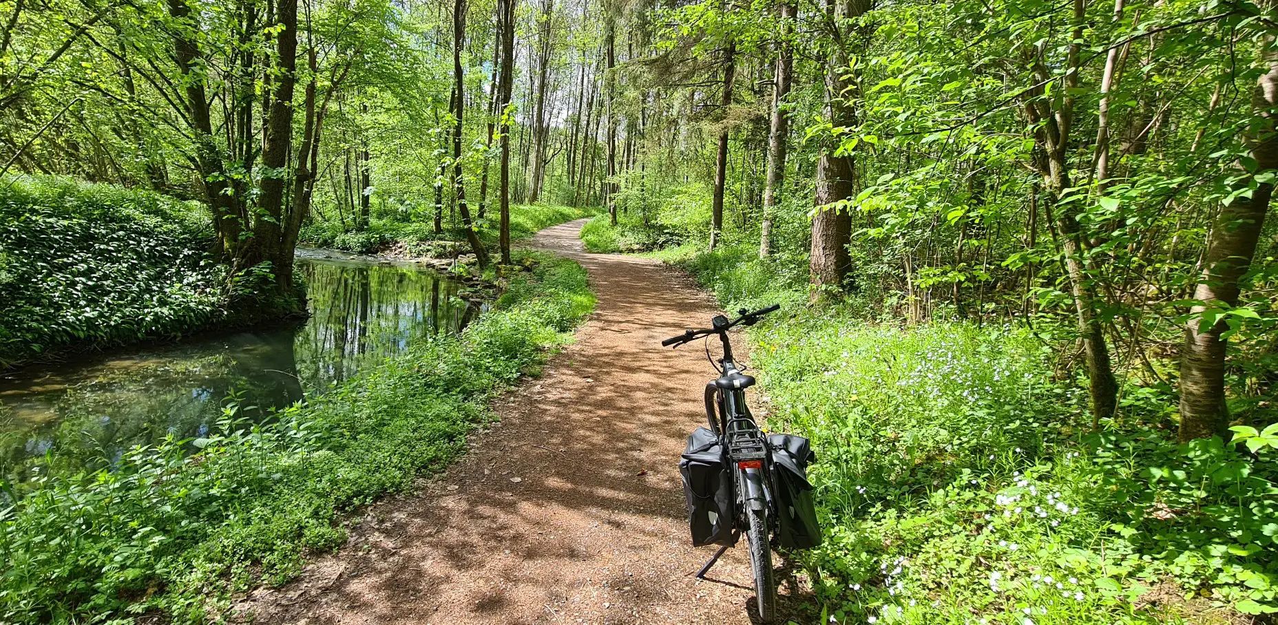
"독일's Main-Tauber-Franconian Radachter - 두 개의 루프, 하나의 경험"
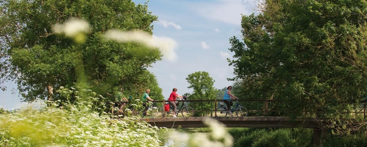
The most beautiful long-distance cycle paths in Franconia
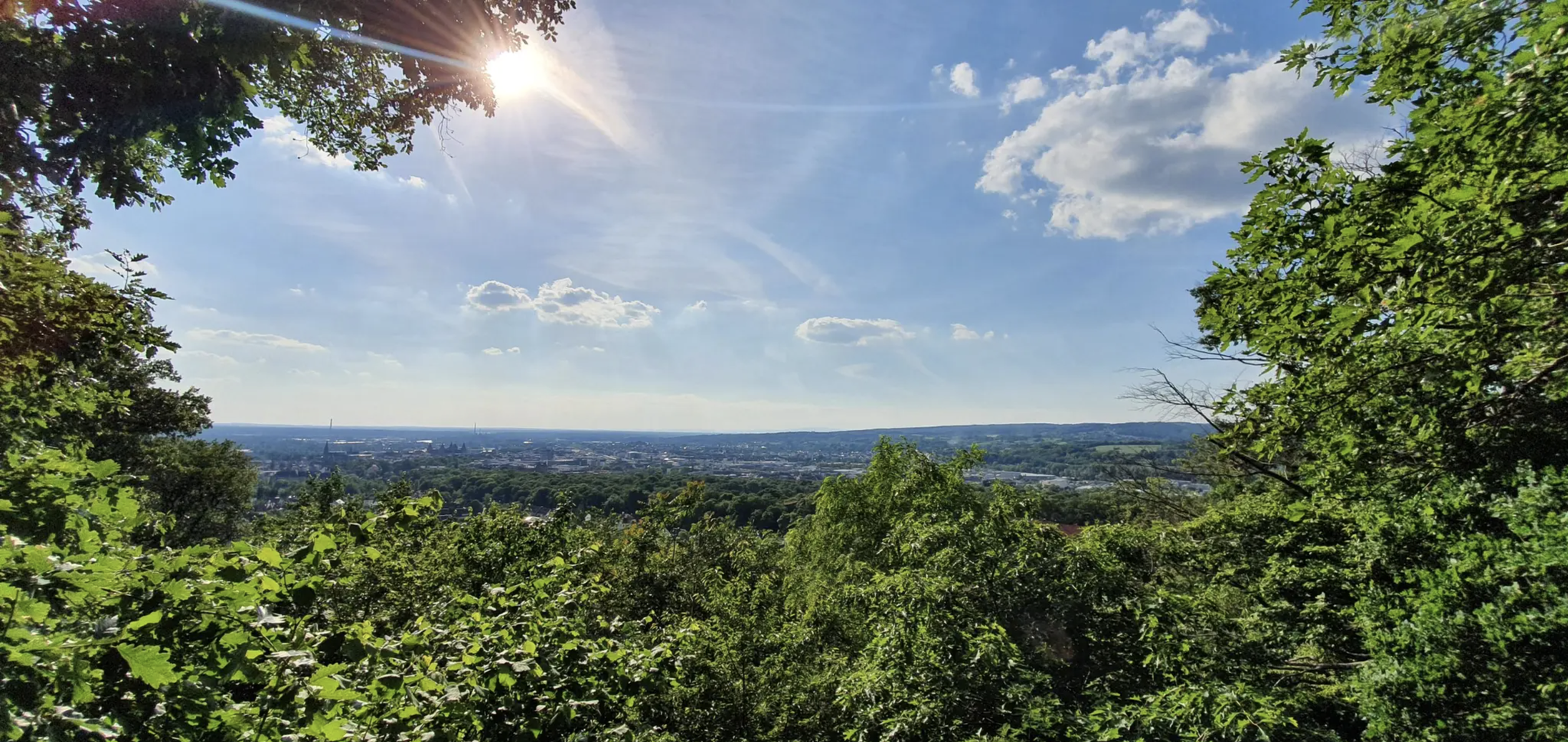
독일의 슈페사르트 트레일에서 자유롭게
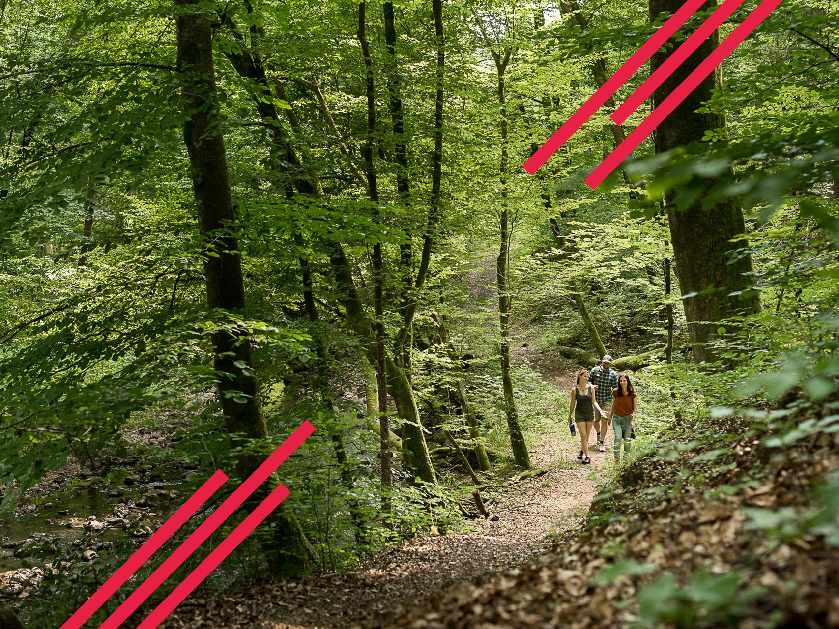
Relaxed hiking in the Spessart – short trails of discovery
헤센의 국가 자연 경관
바이에른의 국가지정 자연 보호 지역
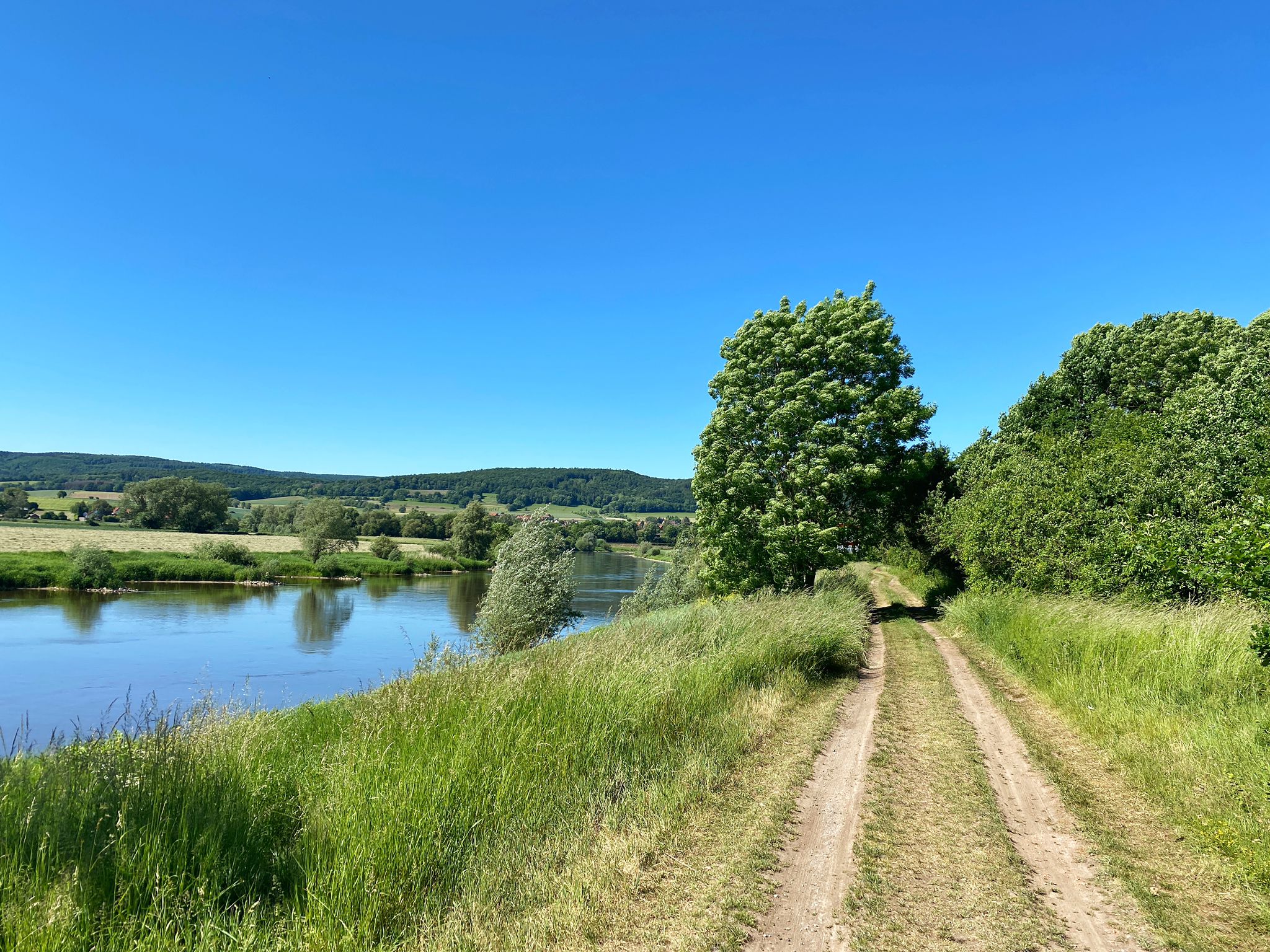
D:Route 9: Weser - Romantic Route
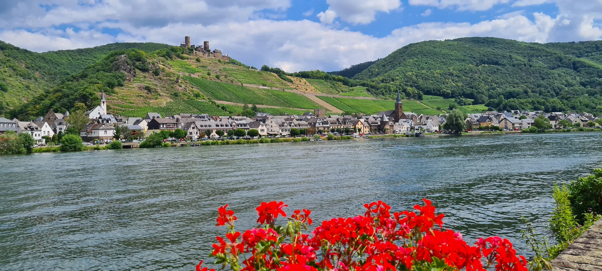
D-Route 5: Saar-Moselle-Main
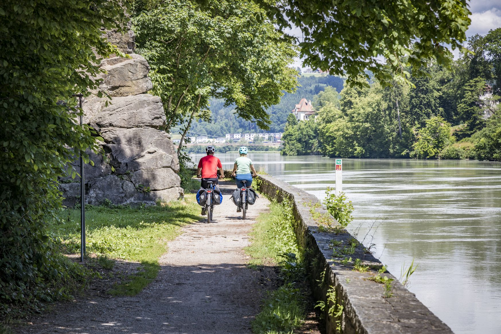
Kilometres of cycling fun – long-distance cycle routes in Bavaria
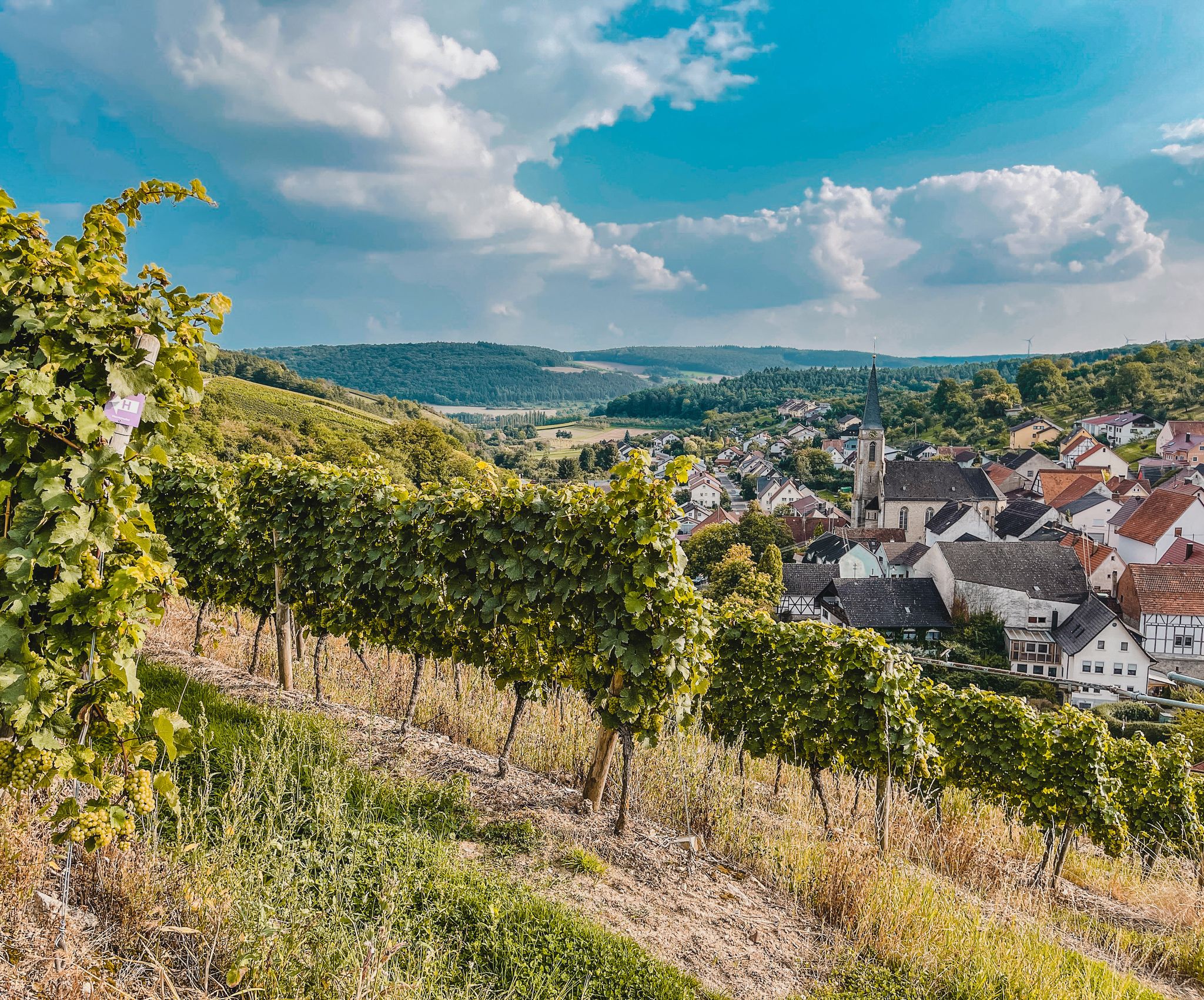
Vineyards and meadows — Tauber Valley에서 WINE과 함께 CYCLING
마인스페사르트의 다른 모험


커뮤니티 팁

Summit cross – the highest point above the rooftops of Retzstadt. A bit hidden, but a lovely place to take a break. ☺️
0
0


A very beautiful place with great views
5
0

Highest point in the Würzburg district. Orientation stone showing which town is in which direction.
0
0

Very nice surroundings The view is also beautiful, worth it
2
0
마인스페사르트에서 가장 인기 있는 명소


찾고 계신 것을 찾지 못하셨나요?
마인스페사르트의 최고의 봉우리와 정상들을 지역별로 발견해보세요:
더 살펴보기
이 가이드를 통해 마인스페사르트의 더 놀라운 정상들을 확인해보세요:
