오덴발트크라이스에서 가장 멋진 15개의 산 정상
오덴발트크라이스의 산 정상에 오르면 이 지역의 아름다운 모습을 제대로 구경할 수 있어요. 다만, 15
곳이나 되는 산 정상 중에서 어떤 곳을 가야 할 지 고민된다는 게 문제죠. 오덴발트크라이스에서 가장 멋진 산 정상을 살펴본 후에 마음에 드는 산 정상을 다음 모험 계획에 추가해보세요.
마지막 업데이트: 10월 10, 2026

Spessartskopf
하이라이트 • 정상
The Siegfriedbrunnen is on the north slope and the "Rotes Wasser" nature reserve on the south-east slope. To the north-east there is a great view towards Spessart
번역자 Google •
팁에 의해

이런 장소를 발견하려면 지금 가입하세요
최고의 싱글 트랙, 봉우리 및 다양한 흥미로운 야외 장소에 대한 추천을 받아보세요.
보르베르크 정상 십자가
하이라이트 • 정상
번역자 Google •
팁에 의해

Beerfurther Schlößchen 유적지
하이라이트 • 역사적 장소
번역자 Google •
팁에 의해
Bullau-코헬발트 – 오덴발트크라이스의 최고점 (560.4m)
하이라이트 • 정상
Altitude: 560 m
번역자 Google •
팁에 의해

모르스베르크 정상림
하이라이트 • 숲
번역자 Google •
팁에 의해

Rimdidim-암석 싱글트레일
하이라이트 (구간) • 트레일
번역자 Google •
팁에 의해
뤼첼-비벨스바흐의 최고 지점
하이라이트 • 정상
Nice resting place.
번역자 Google •
팁에 의해
로이센크로이츠 고개
하이라이트 • 산악 고개
Opening hours: daily from 8am to 9pm (closed on Mondays)
Locked up for motorcyclists on weekends and public holidays 🚫
번역자 Google •
팁에 의해

Adalbertshöhe(아달베르트회에)의 돌 탁자와 전망대
하이라이트 • 전망대
번역자 Google •
팁에 의해

무료로 가입하여 오덴발트크라이스의 더 많은 봉우리를 발견하세요.
이미 komoot 계정이 있나요?
오늘 무료 계정으로 시작하세요
다음 모험이 기다리고 있어요.
오덴발트크라이스 주변 인기 장소
전설적인! 7단계의 Nibelungensteig
Alemannenweg - Odenwald에서 하이킹
Autumn views: to the most beautiful vantage points in the RMV area
4를 주세요! - 4개 국가의 길

Varied winter hikes in Germany’s Rhine-Main region

Onto the train, out into the snow – winter hiking for all ages in the Rhine-Main
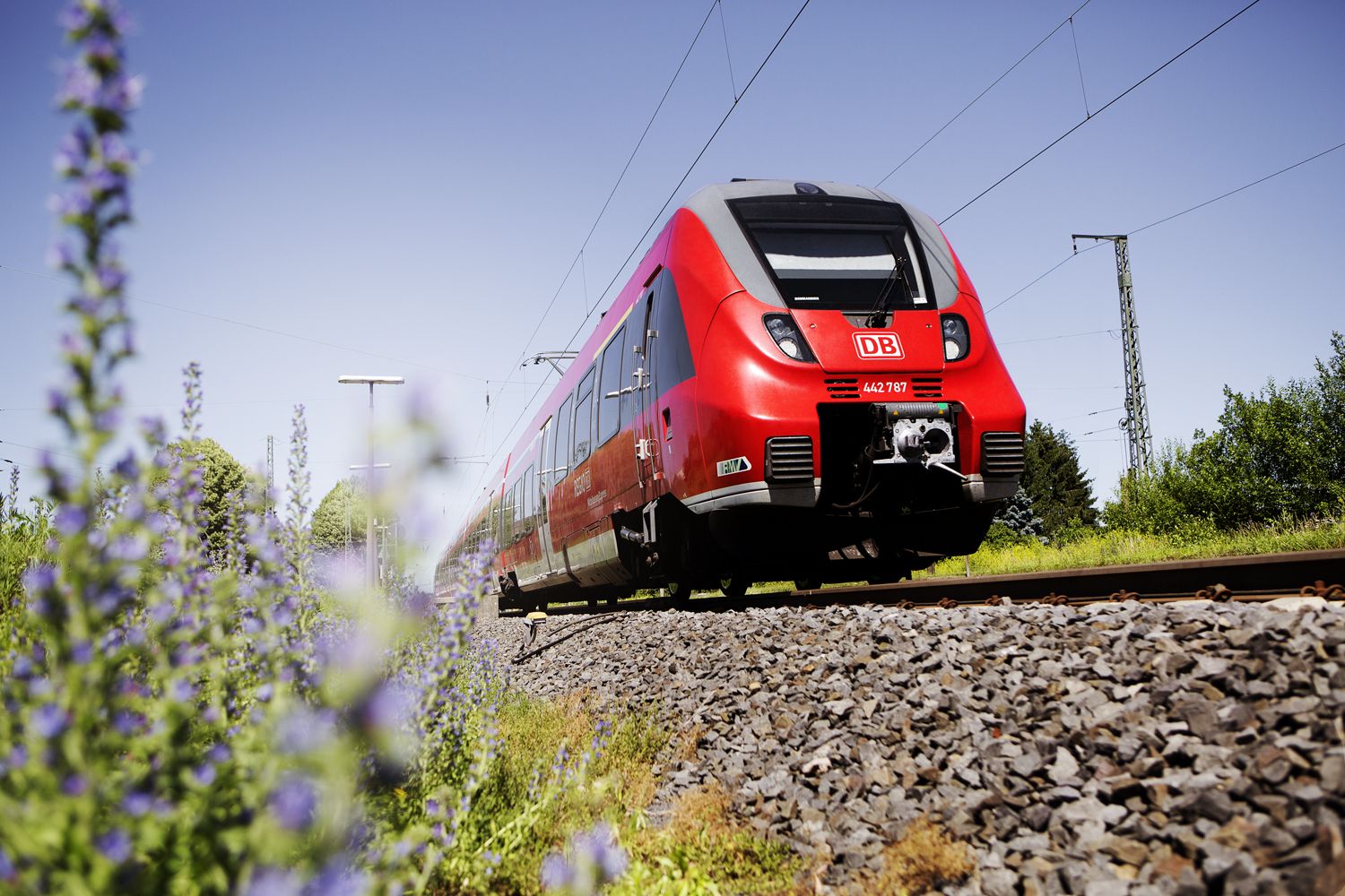
Into the countryside! — hike with Germany’s Rhine-Main Transport Network
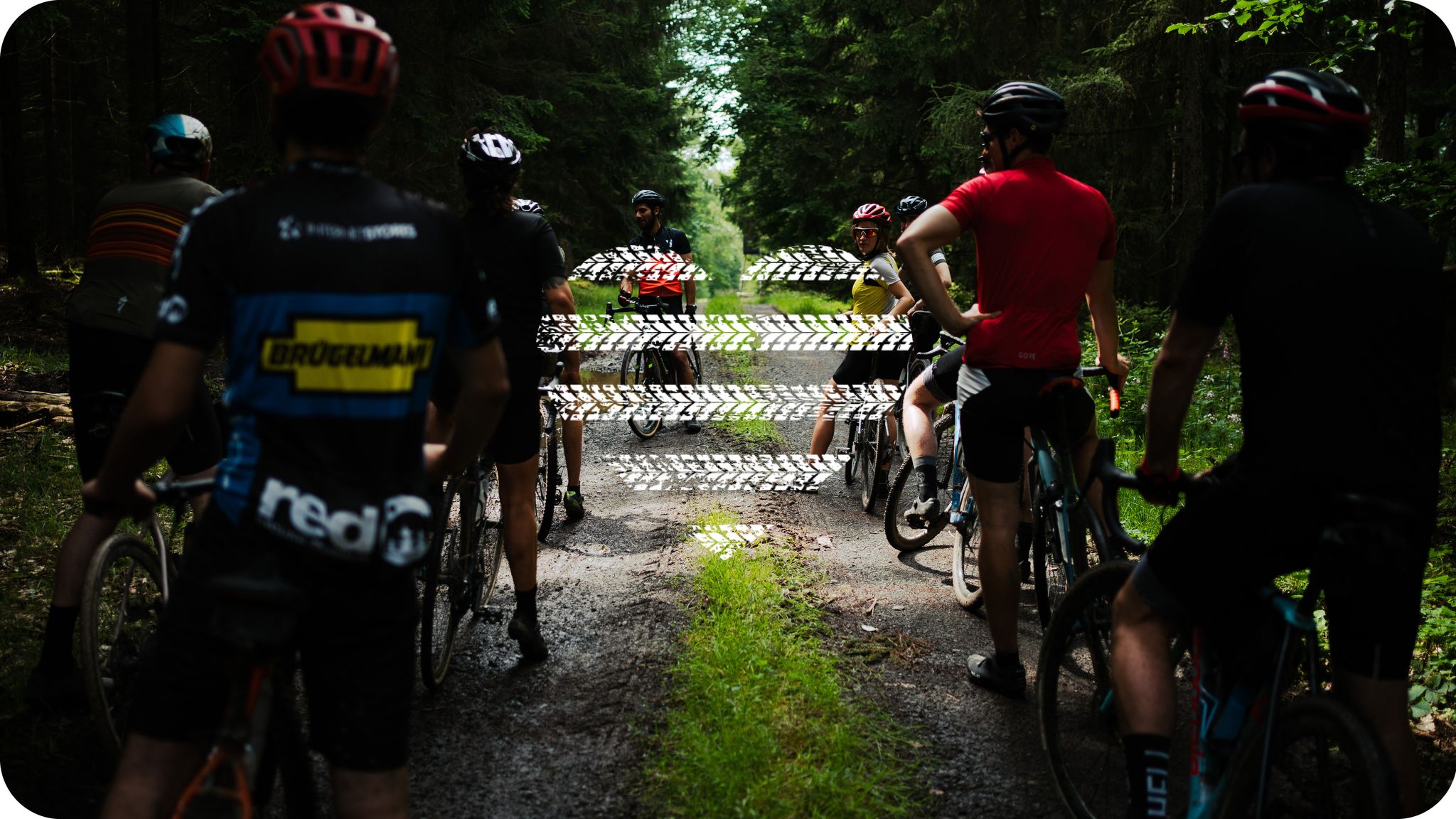
Wheels like Hesse – Seven ways to Hessen
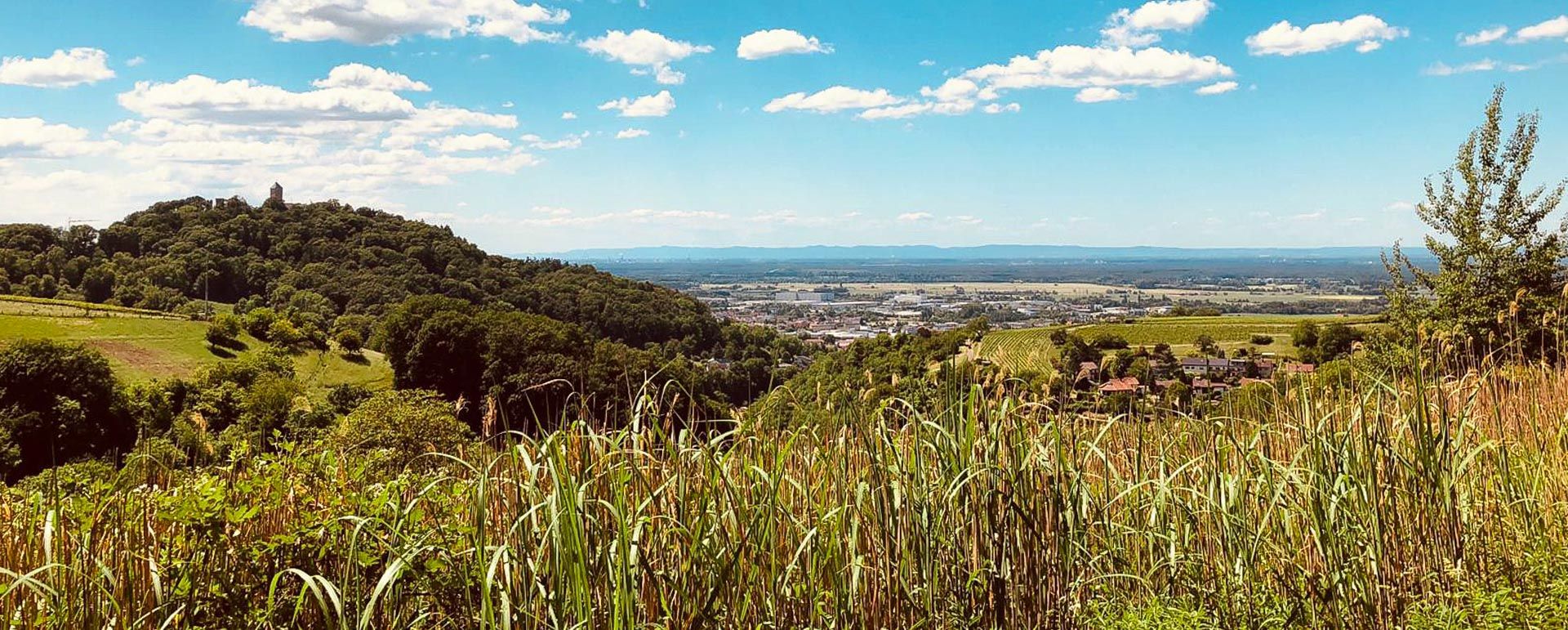
라인 강에서 마인 강까지 - 헤세의 R9 자전거 경로
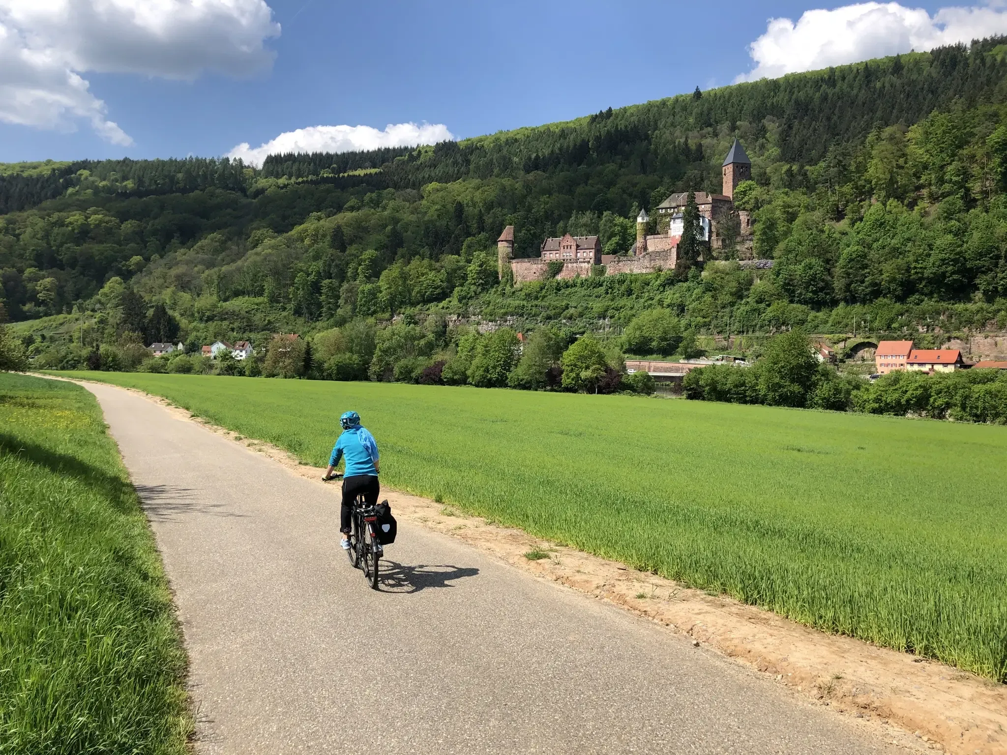
헤세, 바둔-위르템베르크와 바이에른의 3개 지방을 자전거로 탐험하세요. 3-Länder 자전거 경로를 따라서
오덴발트크라이스의 다른 모험


커뮤니티 팁

position cross at 560.4 meters
0
0

Luckily, there are Komoot highlights so you don’t miss anything
0
0

You can also leave an entry in the summit book today
12
0
Lovingly prepared and decorated for Christmas... you can immortalize yourself in the summit book
13
0


Very nice place in the quiet forest to take a break.
1
0

Highest point of the Odenwaldkreis, too bad the sign is easy to miss, I might have missed it without the highlight marking, it is about 2-3m from the path
1
0

In summer, the trees all around offer great sun protection, so you can enjoy the great view of the valley
1
0
오덴발트크라이스에서 가장 인기 있는 경로


찾고 계신 것을 찾지 못하셨나요?
오덴발트크라이스의 최고의 봉우리와 정상들을 지역별로 발견해보세요:
더 살펴보기
이 가이드를 통해 오덴발트크라이스의 더 놀라운 정상들을 확인해보세요:
