에르바흐에서 가장 멋진 14개의 산 정상
에르바흐의 산 정상에 오르면 이 지역의 아름다운 모습을 제대로 구경할 수 있어요. 다만, 14
곳이나 되는 산 정상 중에서 어떤 곳을 가야 할 지 고민된다는 게 문제죠. 에르바흐에서 가장 멋진 산 정상을 살펴본 후에 마음에 드는 산 정상을 다음 모험 계획에 추가해보세요.
마지막 업데이트: 10월 17, 2026
Spessartskopf
하이라이트 • 정상
The Siegfriedbrunnen is on the north slope and the "Rotes Wasser" nature reserve on the south-east slope. To the north-east there is a great view towards Spessart
번역자 Google •
팁에 의해

에르츠베르크, 484미터
하이라이트 • 정상
번역자 Google •
팁에 의해

이런 장소를 발견하려면 지금 가입하세요
최고의 싱글 트랙, 봉우리 및 다양한 흥미로운 야외 장소에 대한 추천을 받아보세요.
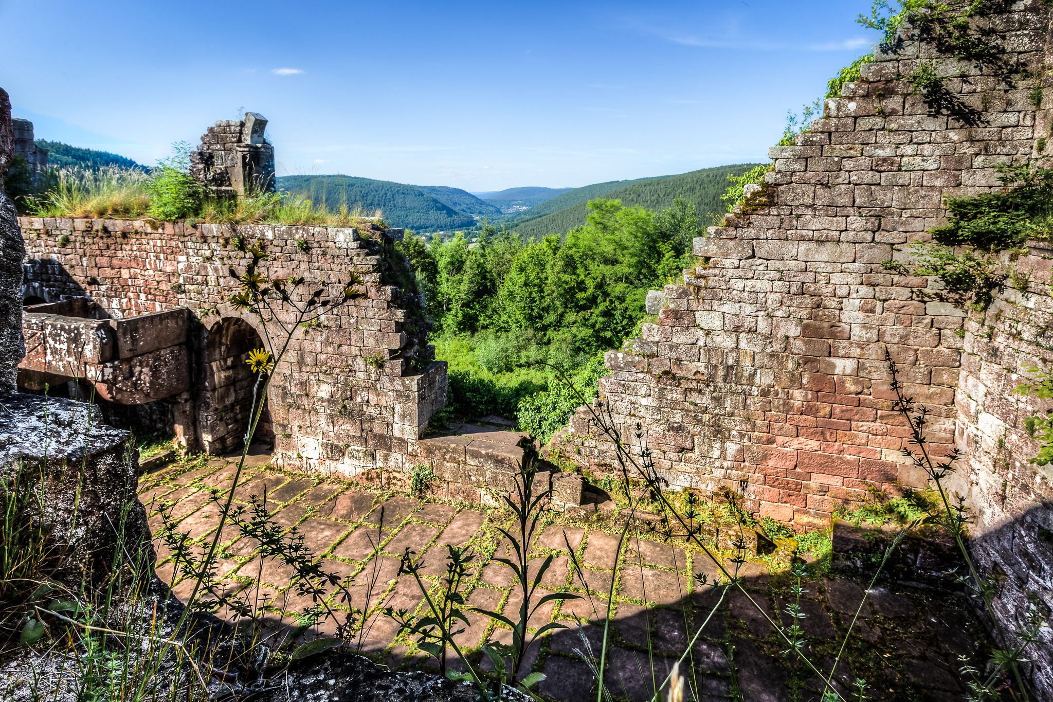
Beerfurther Schlößchen 유적지
하이라이트 • 역사적 장소
번역자 Google •
팁에 의해

Bullau-코헬발트 – 오덴발트크라이스의 최고점 (560.4m)
하이라이트 • 정상
Altitude: 560 m
번역자 Google •
팁에 의해

모르스베르크 정상림
하이라이트 • 숲
번역자 Google •
팁에 의해

무료로 가입하여 에르바흐 주변의 더 많은 봉우리를 발견하세요.
이미 komoot 계정이 있나요?
오늘 무료 계정으로 시작하세요
다음 모험이 기다리고 있어요.
에르바흐 주변 인기 장소
전설적인! 7단계의 Nibelungensteig
Alemannenweg - Odenwald에서 하이킹
Wheels like Hesse – Seven ways to Hessen
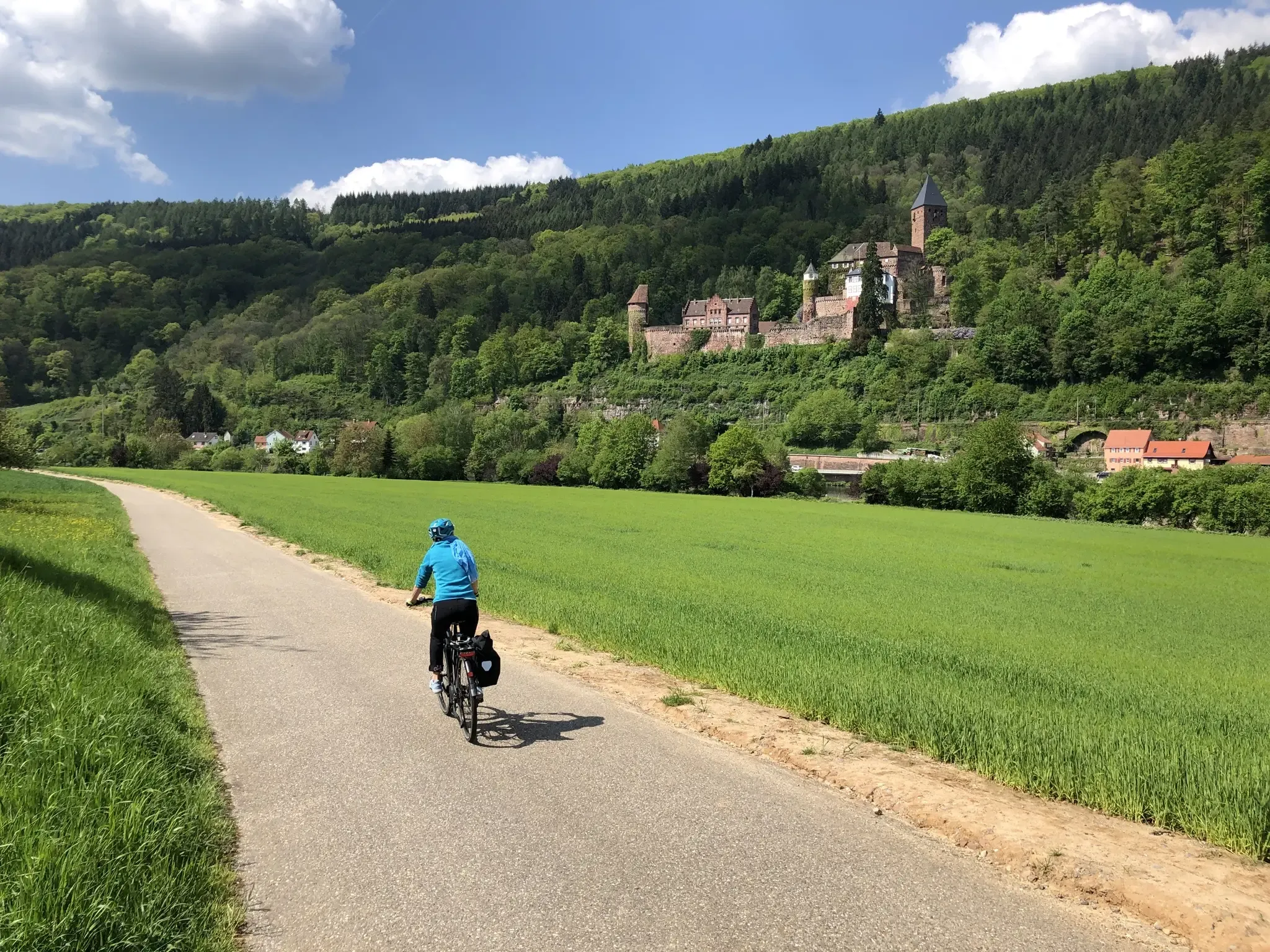
헤세, 바둔-위르템베르크와 바이에른의 3개 지방을 자전거로 탐험하세요. 3-Länder 자전거 경로를 따라서
Pack die Badehose ein! – Mit Rad und Öffis zu den schönsten Seen im RMV-Gebiet
Mit Rosbacher auf Tour im Rhein-Main-Gebiet
에르바흐 하이킹
에르바흐 사이클링
에르바흐 MTB 트레일
에르바흐 로드 사이클링 경로
에르바흐 주변의 다른 모험


커뮤니티 팁

position cross at 560.4 meters
0
0

Luckily, there are Komoot highlights so you don’t miss anything
0
0

Highest point of the Odenwaldkreis, too bad the sign is easy to miss, I might have missed it without the highlight marking, it is about 2-3m from the path
1
0

The highest elevation in the Odenwald is the Katzenbuckel near Waldkatzenbach in the Neckar-Odenwald district at around 626m. The second highest mountain is the Neunkircher Höhe in the Bergstraße district at 605m. The citizens of the Odenwald district mostly believe that the highest mountain in the district is the Krähberg at 555m or the Sensbacher Höhe at 558m. The Kohlwald near Bullau is completely unknown. There is a stone here, a trigonometric point, which marks the highest point at 560.4m above sea level. The highest point in the Odenwald district... Source: https://www.geocaching.com/geocache/GC3WNG0_top-of-odenwaldkreis
1
0
The Morsberg is 516.7 m above sea level. NHN[1] high, wooded mountain in the Kirch-Beerfurth district of the Reichelsheim municipality in the Odenwaldkreis in the Hesse Odenwald. The Morsberg is a towering northwestern cornerstone of the sandstone Odenwald on the border with the Vorderen Odenwald. Together with the mountain massifs of the Neunkircher Höhe and the Melibokus to the west, it is one of the northernmost Odenwald peaks, which rise to a height of more than 500 meters. Its western and northern slopes drop steeply over a 100 meter high terrain until the crystalline basement of the trommel granite in the west and the Böllsteiner Odenwald in the north emerges. Due to its dense forest cover, it is not a mountain with panoramic views. Nevertheless, it impressively dominates the head of the Gersprenz lowland when viewed from the north. Source: Wikipedia
2
0

Unfortunately there isn't much to see, but you can still get a good idea of the dimensions of the castle
5
0

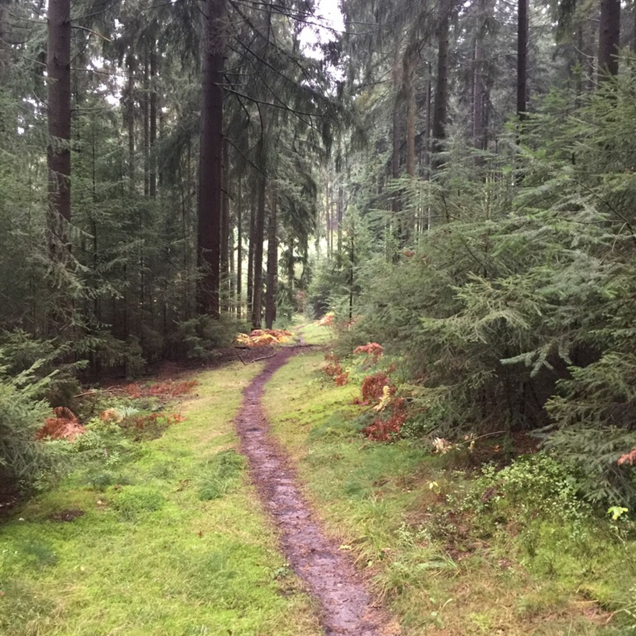
The path leads dead straight over the flat summit plateau of the mountain. There is no view here, but the path is beautiful.
1
0

Only a few remnants of the former castle can be seen.
6
0
에르바흐 주변에서 가장 인기 있는 명소


더 살펴보기
이 가이드를 통해 에르바흐 주변의 더 놀라운 정상들을 확인해보세요:
