락 드 로젤랑 주변 최고의 그래블 라이딩 코스
4.7
(6)
91
자전거 타는 사람
9
라이딩
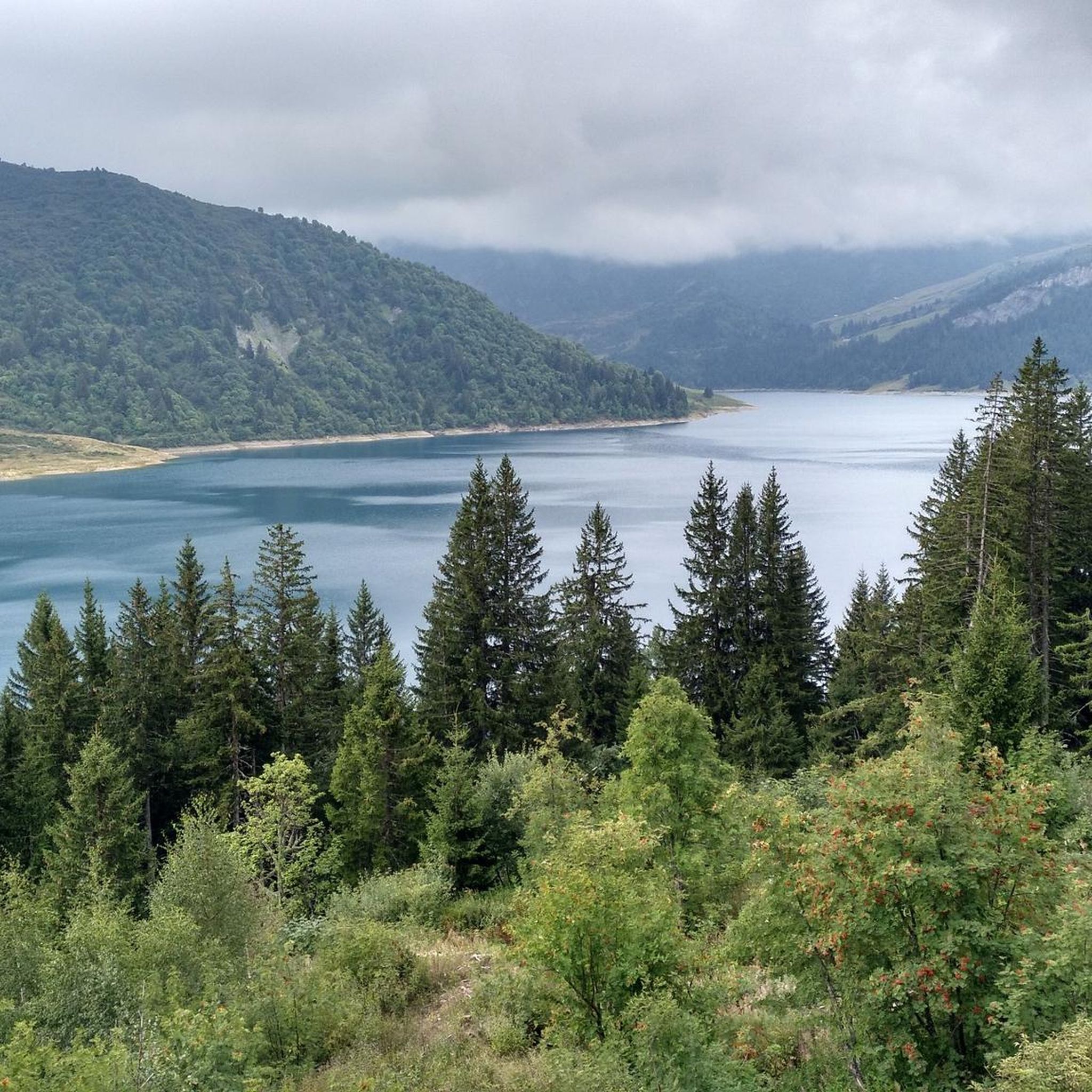
그래블 바이크를 타고 로젤랑 호수(Lac de Roselend) 주변을 달리는 것은 프랑스 알프스 고지대의 다양한 지형을 경험할 수 있는 기회를 제공합니다. 이곳은 장엄한 산, 푸른 알프스 목초지, 그리고 인공 저수지의 매혹적인 청록색 물로 특징지어집니다. 지형에는 로크 뒤 뱅(Roc du Vent)과 라 피에라 몽타(La Pierra Menta)와 같은 유명한 봉우리들과 완만한 산악 목초지가 있습니다. 코스는 종종 포장도로와 비포장도로가 혼합되어 있어, 이 고지대 환경을 통과하며 도전적인 오르막과 멋진 내리막을 제공합니다.
로젤랑 호수 주변 최고의 그래블 바이크 코스
- 가장 인기 있는 그래블 바이크 코스는 라…
마지막 업데이트: 10월 14, 2026
5.0
(2)
39
자전거 타는 사람
86.7km
07:06
3,010m
3,000m
어려운 자갈길 타기. 우수한 체력 필요. 대부분 포장된 지면. 실력과 관계없이 누구나 갈 수 있음.
5.0
(3)
19
자전거 타는 사람
27.5km
02:29
1,010m
1,010m
어려운 자갈길 타기. 우수한 체력 필요. 대부분 포장된 지면. 실력과 관계없이 누구나 갈 수 있음.

20
자전거 타는 사람
41.7km
03:33
1,460m
1,460m
어려운 자갈길 타기. 우수한 체력 필요. 대부분 포장된 지면. 실력과 관계없이 누구나 갈 수 있음.
4.0
(1)
7
자전거 타는 사람
28.1km
02:25
1,110m
1,110m
어려운 자갈길 타기. 우수한 체력 필요. 대부분 포장된 지면. 실력과 관계없이 누구나 갈 수 있음.
6
자전거 타는 사람
62.9km
05:16
2,050m
2,050m
어려운 자갈길 타기. 우수한 체력 필요. 대부분 포장된 지면. 실력과 관계없이 누구나 갈 수 있음.
더 다양한 경로와 다른 탐험가들의 추천을 살펴보세요.
이미 komoot 계정이 있나요?
투어 추천은 다른 사람들이 komoot에서 완료한 수천 개의 활동을 바탕으로 구성되어 있습니다.
오늘 무료 계정으로 시작하세요
다음 모험이 기다리고 있어요.

커뮤니티 팁


이 멋진 항구의 끝이 더 잘 표시되지 않은 것이 유감입니다.
0
0

(Non-electric mountain bike with baby carrier) The start is on a paved road, with some steep climbs, up to the restaurant (closed in summer). Then it's a fairly smooth ride before tackling the climb to Mont Clocher. Be careful, it's very steady but requires a significant effort. The descent is gentle; you can finish with the green DH trail for the more adventurous!
0
0

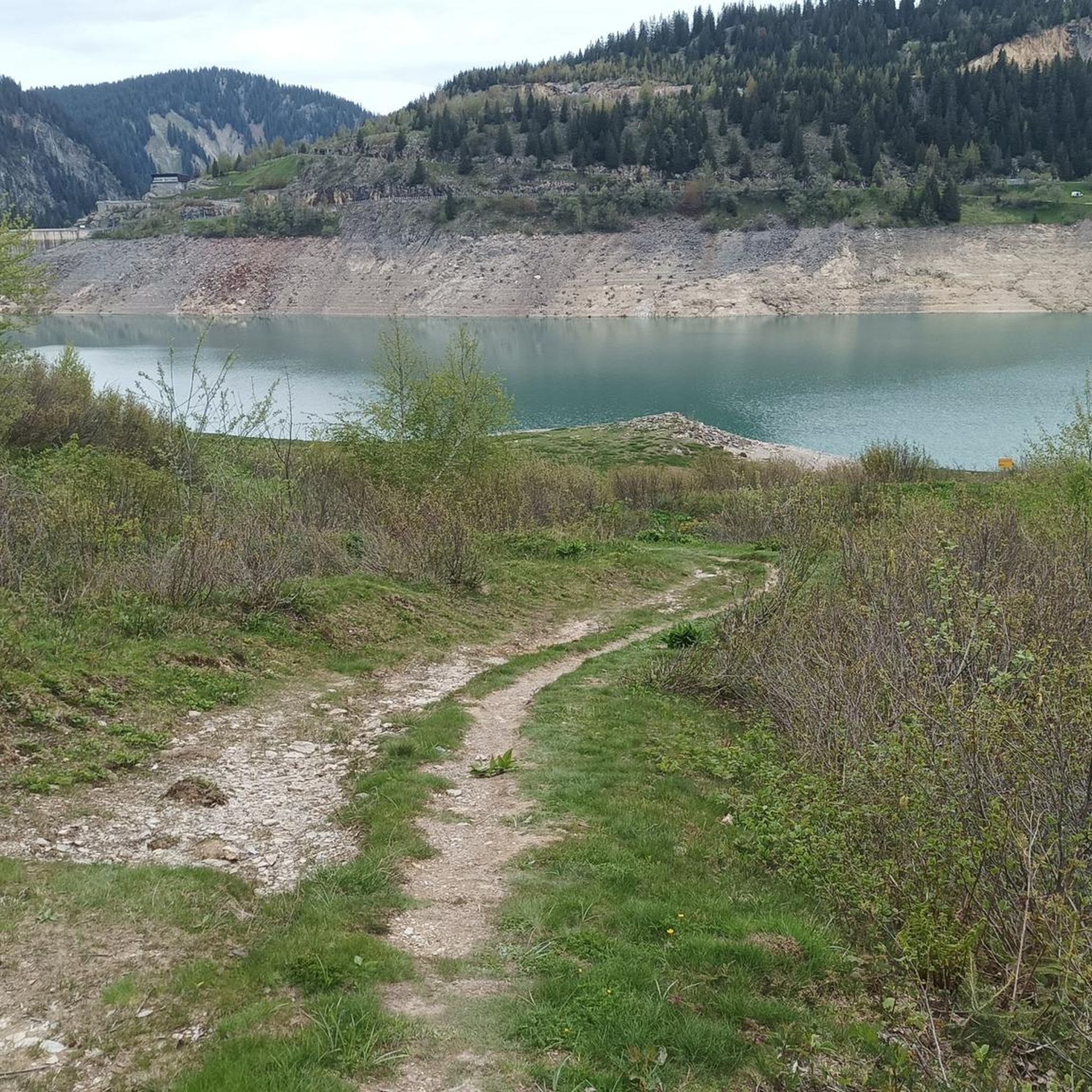
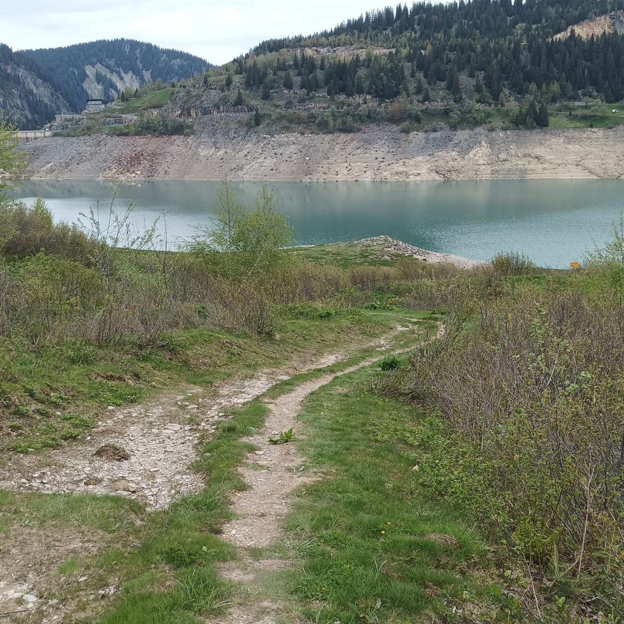
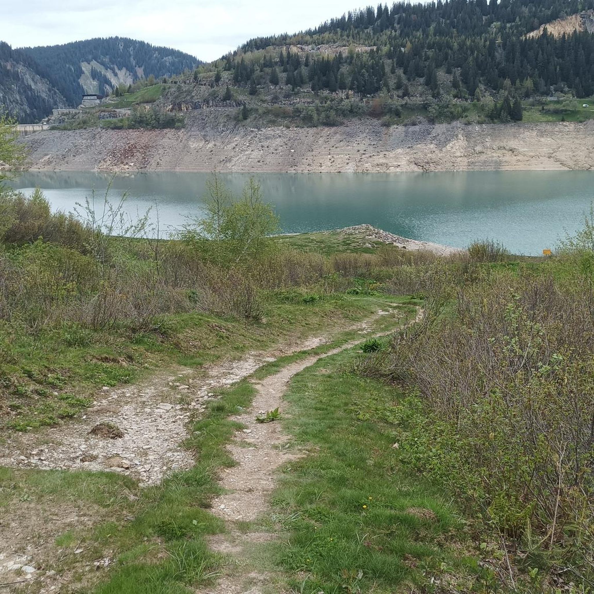
The Roselend Dam is located in the commune of Beaufort-sur-Doron, in the Beaufortain region of Savoie, between the Col du Pré and the Cormet de Roselend, near the Arêches-Beaufort ski resort. The surrounding mountains reach an altitude of around 2,800 meters. It is part of the Roselend La Bâthie hydroelectric complex, which includes the Roselend Dam and two satellite dams: La Gittaz and Saint-Guérin. This complex is managed by EDF's Alpes Production Unit. The Roselend La Bâthie hydroelectric complex produces the equivalent of the domestic energy consumption of 450,000 residents, thus avoiding the emission of 890,000 tons of CO2 per year. The Roselend Dam is a double-curved arch dam with buttresses. Height = 150 meters Crest length = 804 meters Water reservoir [of the hydroelectric complex] = 187 million m3 The Roselend - La Bâthie development is supplied by the Roselend dam itself, as well as by two satellite dams, La Gittaz and Saint-Guérin. The total storage capacity of these three reservoirs, connected by a system of galleries, is 213 million m3. The water collected at Roselend crosses the massif through a 12.5 km long gallery to flow at an altitude of 1,400 m into the Isère Valley, in the Tarentaise region. It is then transported to the underground plant at La Bâthie via a 2,500 m long penstock, with a drop of 1,200 m. The power plant is equipped with six Pelton-type generating units with a total capacity of 550 MW. Since 2013, EDF has been replacing the main components of each generating unit (turbine, generator, transformer, and energy evacuation cables) to achieve a total capacity of 600 MW by the end of 2018. https://youtu.be/G0Ss9v6wxQQ
1
0
Originally, there was a Romanesque chapel in the hamlet of Roselend. It was dedicated to Saint Mary Magdalene. A 13th-century document mentions a chapel that could be this one. More precise sources indicate that the bell was cast in 1608 or that donations were made in 1710, 1757, and 1760. In 1794, it hosted four émigré priests from the valley for their first mass after their return from exile, including the future Archbishop of Chambéry, Antoine Martinet. Submerged when the dam was filled on May 6, 1960, a chapel was rebuilt two years later near the road overlooking the lake, in a more modern style.
1
0
락 드 로젤랑 주변에서 가장 인기 있는 명소


더 살펴보기
다른 지역의 최고의 그래블 라이딩를 살펴보세요.
