보퍼트 주변 최고의 그래블 라이딩 코스
4.6
(21)
308
자전거 타는 사람
27
라이딩
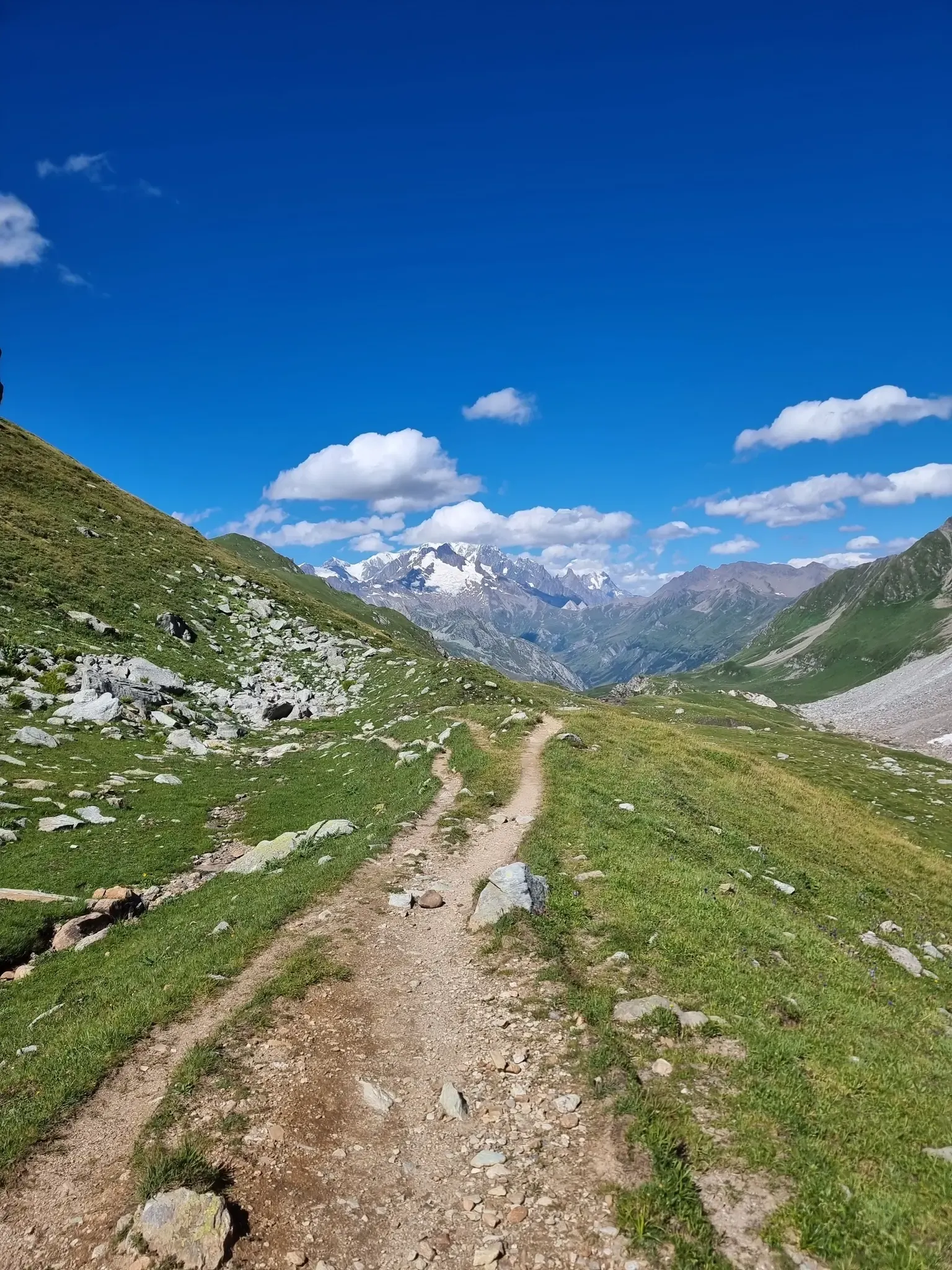
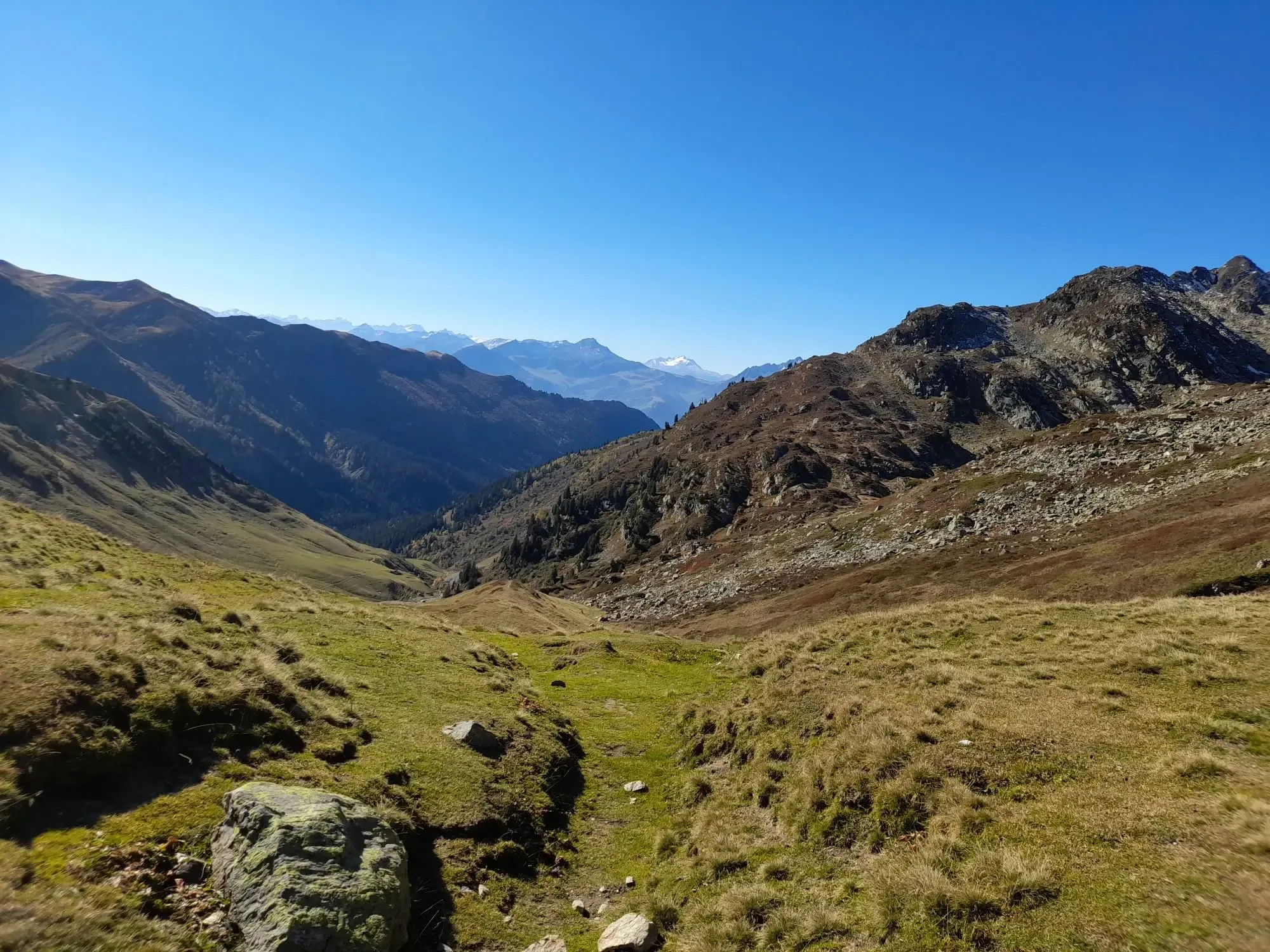
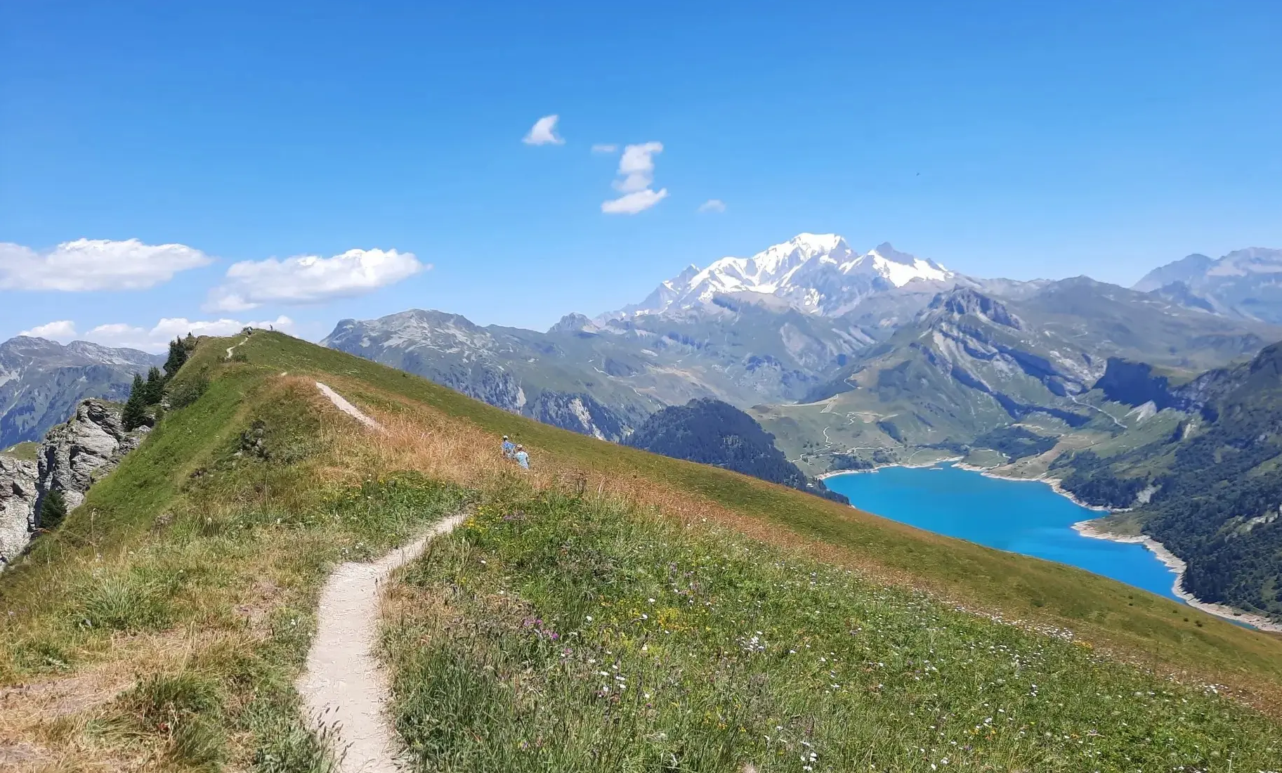
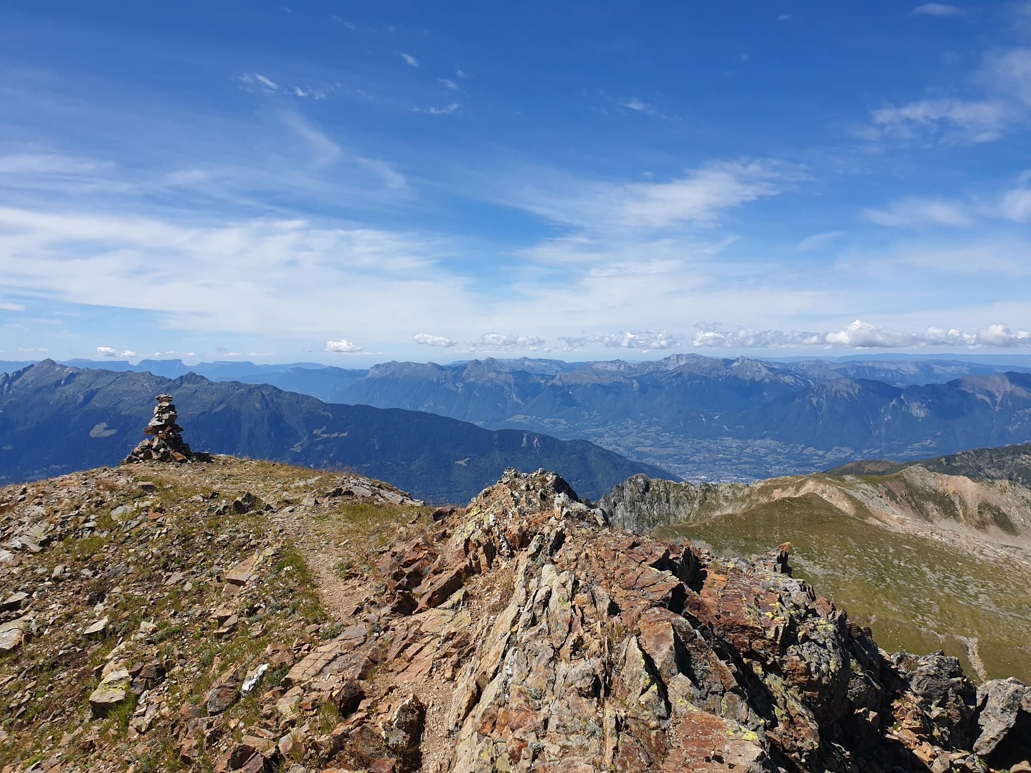
그래블 바이크를 타고 프랑스 알프스에 위치한 보퍼(Beaufort) 주변을 달리면 산악 지형 전반에 걸쳐 광범위한 기회를 얻을 수 있습니다. 이 지역은 그림 같은 호수를 포함하여 인상적인 산, 고지대 고개, 알프스 풍경이 특징입니다. 사이클링을 위한 다양한 노면을 제공하는 산 목초지와 숲을 통과하는 수많은 트레일이 있습니다. 이 지형에는 다양한 기술 수준에 적합한 작고 교통량이 적은 도로, 알프스 트랙, 구불구불한 산악 자전거 트레일이 포함됩니다.
보퍼 주변 최고의 그래블 바이크 트레일
- 가장 인기 있는 그래블 바이크 트레일은 부르그-생-모리스에서 출발하는 로젤랑 댐 – 콜 뒤 프레…
마지막 업데이트: 7월 16, 2026
4.3
(3)
47
자전거 타는 사람
70.2km
05:34
2,290m
2,290m
어려운 자갈길 타기. 우수한 체력 필요. 대부분 포장된 지면. 실력과 관계없이 누구나 갈 수 있음.
4.0
(1)
4
자전거 타는 사람
16.1km
01:39
590m
590m
어려운 자갈길 타기. 우수한 체력 필요. 대부분 포장된 지면. 실력과 관계없이 누구나 갈 수 있음.

무료 회원 가입
5.0
(2)
12
자전거 타는 사람
25.9km
02:21
950m
940m
어려운 자갈길 타기. 우수한 체력 필요. 대부분 포장된 지면. 실력과 관계없이 누구나 갈 수 있음.
18
자전거 타는 사람
39.2km
03:34
1,500m
1,500m
어려운 자갈길 타기. 우수한 체력 필요. 대부분 포장된 지면. 실력과 관계없이 누구나 갈 수 있음.
19
자전거 타는 사람
82.9km
06:51
2,700m
2,700m
어려운 자갈길 타기. 우수한 체력 필요. 대부분 포장된 지면. 실력과 관계없이 누구나 갈 수 있음.
더 다양한 경로와 다른 탐험가들의 추천을 살펴보세요.
무료 회원 가입
이미 komoot 계정이 있나요?
투어 추천은 다른 사람들이 komoot에서 완료한 수천 개의 활동을 바탕으로 구성되어 있습니다.
오늘 무료 계정으로 시작하세요
다음 모험이 기다리고 있어요.
로그인 또는 가입하기
보퍼트 주변 인기 장소

샤모니에서 중해까지 - Transalps MTB

그랑드 알프스 도로
오일 대 알프스 빠른 배낭 여행 다섯 일 - 울트라 듀 보포르탱
알프스 스카이런닝 — 피에라 멘타를 모티브로 한 코스
보포르탱 탐험을 위한 코스 — Trail Frison-Roche
프랑소아 드에느의 시점에서 - 보포르탱 고도계 수집
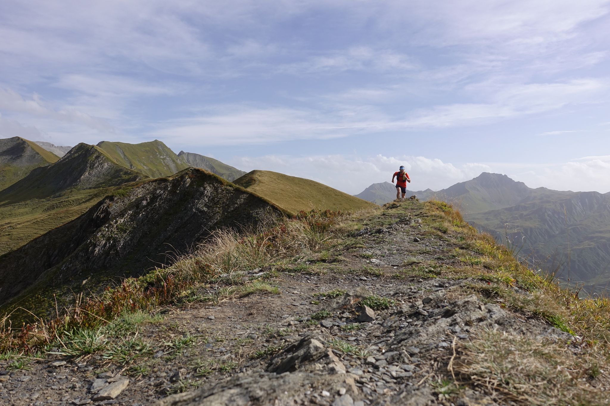
알마 이반음 - 호리스 한다 아습니스 일자합니다
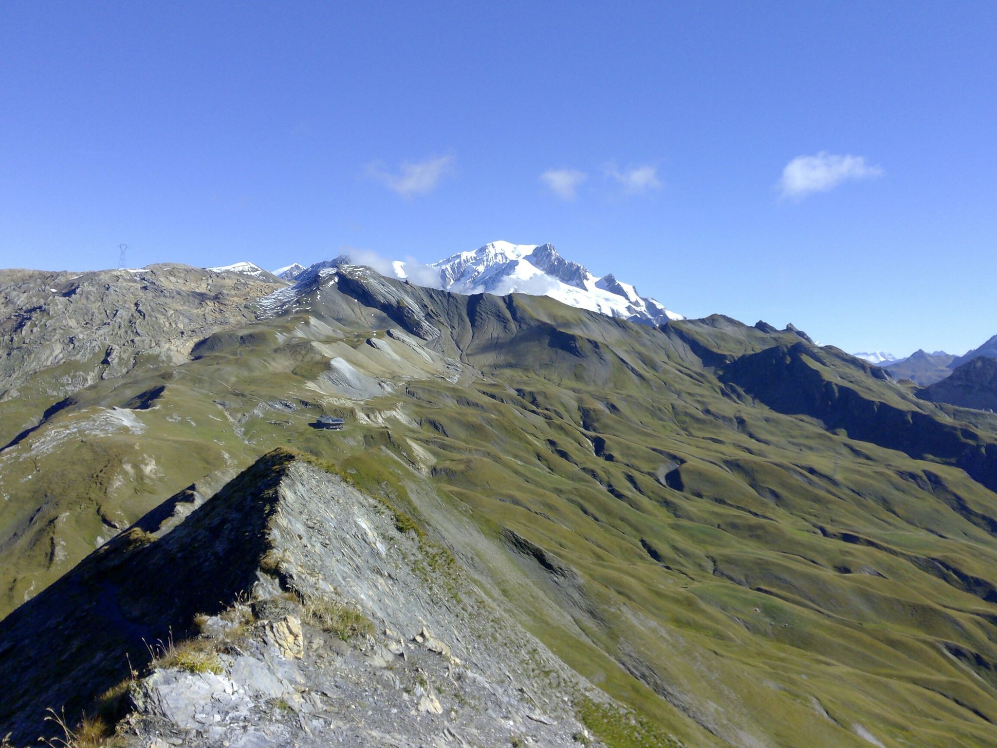
TDS – 이탈리아와 프랑스 사이를 가로지르는 6일간의 野生하며 요구가 높은 트레일
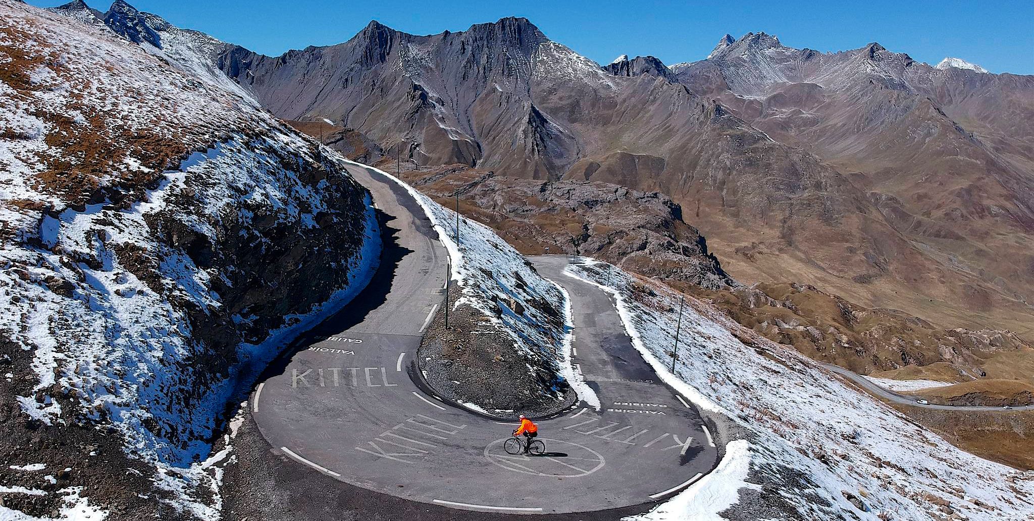
Tracing the Tour de France – spectacular passes in the Auvergne-Rhône-Alps
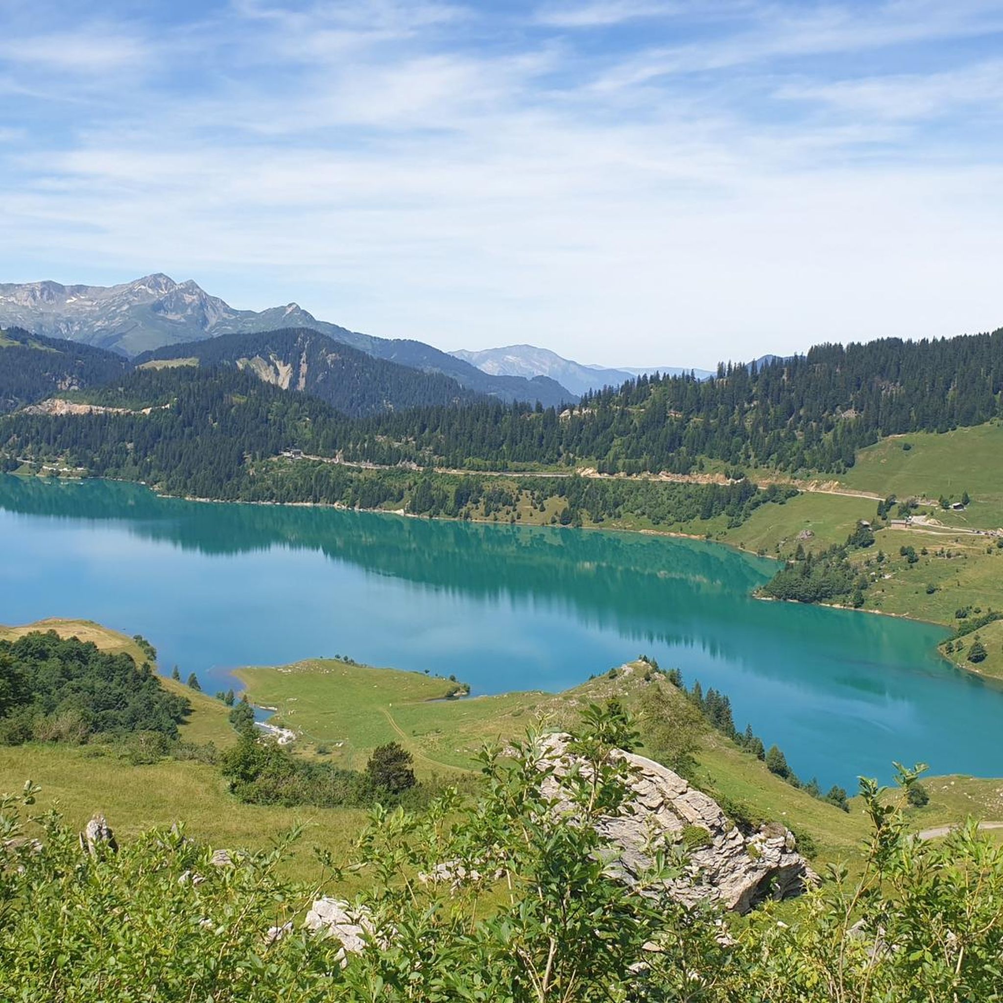
보퍼트 러닝 트레일
보퍼트 주변의 다른 모험


커뮤니티 팁

너무 힘들지 않은 훌륭한 라이딩입니다. 그래블 바이크로 갈 경우 걸어야 하는 구간이 있습니다
0
0

이 멋진 항구의 끝이 더 잘 표시되지 않은 것이 유감입니다.
0
0
평균 9% 이상인 구간이 여러 킬로미터에 달하는 매우 힘든 오르막입니다. 올라갈수록 계곡의 전망이 정말 멋집니다.
0
0

비교적 교통량이 적고, D909, Aravis로 오르는 길, 자전거 타는 사람들을 위한 좋은 정보.
2
0
날씨가 좋으면 아라비스에서 몽블랑 방향으로 멋진 전망을 볼 수 있습니다.
2
0

The Roselend Dam is located in the commune of Beaufort-sur-Doron, in the Beaufortain region of Savoie, between the Col du Pré and the Cormet de Roselend, near the Arêches-Beaufort ski resort. The surrounding mountains reach an altitude of around 2,800 meters. It is part of the Roselend La Bâthie hydroelectric complex, which includes the Roselend Dam and two satellite dams: La Gittaz and Saint-Guérin. This complex is managed by EDF's Alpes Production Unit. The Roselend La Bâthie hydroelectric complex produces the equivalent of the domestic energy consumption of 450,000 residents, thus avoiding the emission of 890,000 tons of CO2 per year. The Roselend Dam is a double-curved arch dam with buttresses. Height = 150 meters Crest length = 804 meters Water reservoir [of the hydroelectric complex] = 187 million m3 The Roselend - La Bâthie development is supplied by the Roselend dam itself, as well as by two satellite dams, La Gittaz and Saint-Guérin. The total storage capacity of these three reservoirs, connected by a system of galleries, is 213 million m3. The water collected at Roselend crosses the massif through a 12.5 km long gallery to flow at an altitude of 1,400 m into the Isère Valley, in the Tarentaise region. It is then transported to the underground plant at La Bâthie via a 2,500 m long penstock, with a drop of 1,200 m. The power plant is equipped with six Pelton-type generating units with a total capacity of 550 MW. Since 2013, EDF has been replacing the main components of each generating unit (turbine, generator, transformer, and energy evacuation cables) to achieve a total capacity of 600 MW by the end of 2018. https://youtu.be/G0Ss9v6wxQQ
1
0

One of the most visited sites in the Alps, on foot or by bike.
0
0


더 살펴보기
다른 지역의 최고의 그래블 라이딩를 살펴보세요.
