하인스베르그 최고의 워킹 & 하이킹 경로
4.5
(17341)
61,507
등산객
2,572
하이킹
하인스베르그에서 하이킹하며 쾰른 지구 구석 부분까지 살펴볼까요? 하인스베르그에 있는 모든 하이킹 및 워킹 경로 컬렉션 중 가장 멋진 하이킹 경로를 엄선하여 소개해드릴게요. 다른 하이커가 공유한 실제 팁과 사진을 살펴보고 후기를 읽으며 마음에 드는 하인스베르그 워킹 경로를 찾아보세요.
마지막 업데이트: 9월 30, 2026
4.8
(1261)
3,585
등산객
17.4km
04:32
120m
120m
보통 하이킹. 좋은 체력 필요. 실력과 관계없이 누구나 쉽게 갈 수 있는 길.
4.6
(725)
2,155
등산객
11.3km
02:51
20m
20m
보통 하이킹. 좋은 체력 필요. 실력과 관계없이 누구나 쉽게 갈 수 있는 길.

4.2
(56)
169
등산객
4.77km
01:12
10m
10m
초급용 하이킹. 모든 체력 수준에 적합. 실력과 관계없이 누구나 쉽게 갈 수 있는 길.
4.7
(20)
111
등산객
1.38km
00:21
0m
0m
초급용 하이킹. 모든 체력 수준에 적합. 실력과 관계없이 누구나 쉽게 갈 수 있는 길.
4.8
(380)
916
등산객
5.78km
01:29
30m
30m
초급용 하이킹. 모든 체력 수준에 적합. 실력과 관계없이 누구나 쉽게 갈 수 있는 길.
4.6
(355)
990
등산객
11.5km
02:59
60m
60m
보통 하이킹. 좋은 체력 필요. 실력과 관계없이 누구나 쉽게 갈 수 있는 길.
4.6
(359)
982
등산객
10.4km
02:40
50m
50m
보통 하이킹. 좋은 체력 필요. 실력과 관계없이 누구나 쉽게 갈 수 있는 길.
4.8
(352)
891
등산객
6.13km
01:35
30m
30m
초급용 하이킹. 모든 체력 수준에 적합. 실력과 관계없이 누구나 쉽게 갈 수 있는 길.
4.8
(413)
1,212
등산객
9.65km
02:29
50m
50m
보통 하이킹. 좋은 체력 필요. 실력과 관계없이 누구나 쉽게 갈 수 있는 길.
11
등산객
1.34km
00:21
10m
0m
초급용 하이킹. 모든 체력 수준에 적합. 실력과 관계없이 누구나 쉽게 갈 수 있는 길.
더 다양한 경로와 다른 탐험가들의 추천을 살펴보세요.
이미 komoot 계정이 있나요?
투어 추천은 다른 사람들이 komoot에서 완료한 수천 개의 활동을 바탕으로 구성되어 있습니다.
오늘 무료 계정으로 시작하세요
다음 모험이 기다리고 있어요.
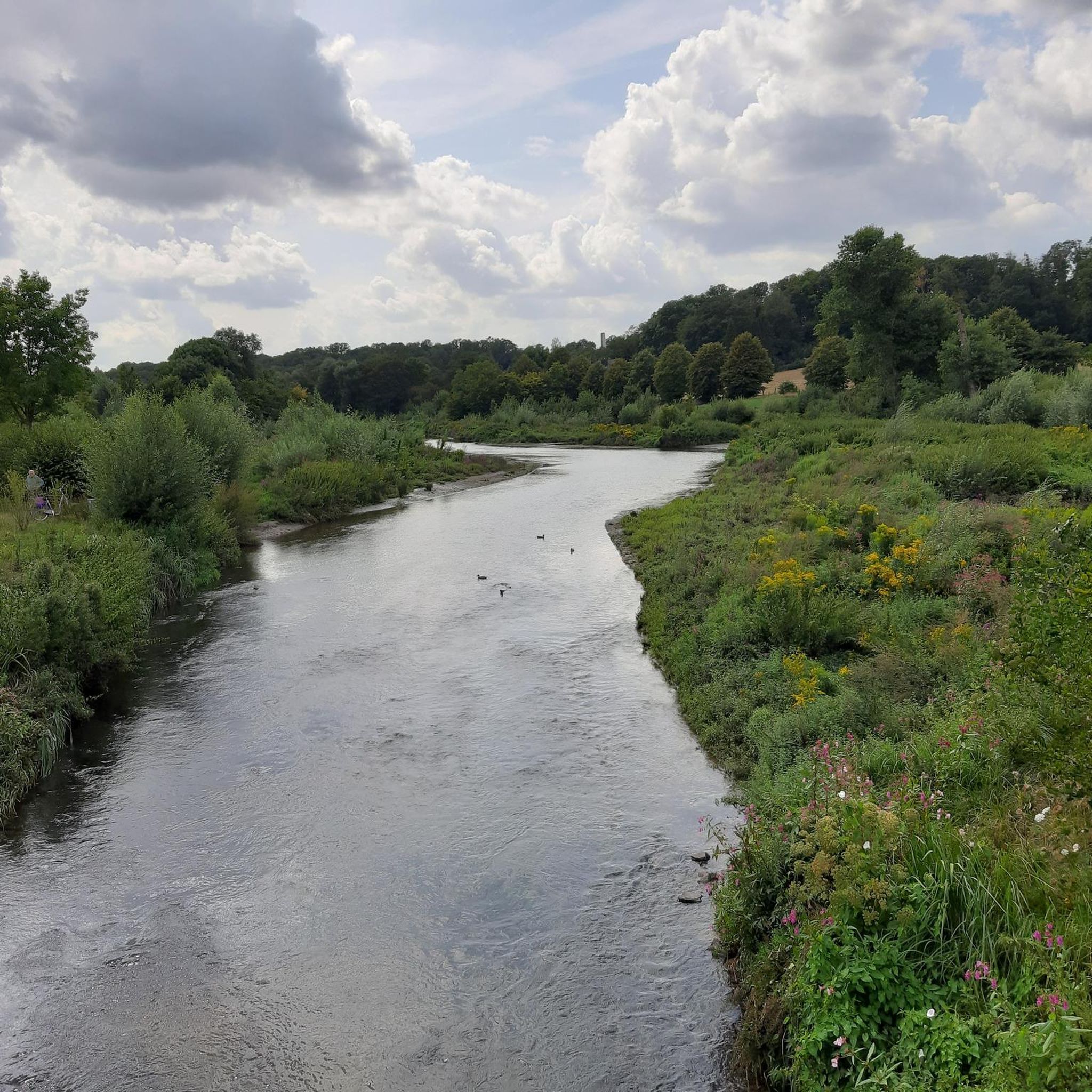
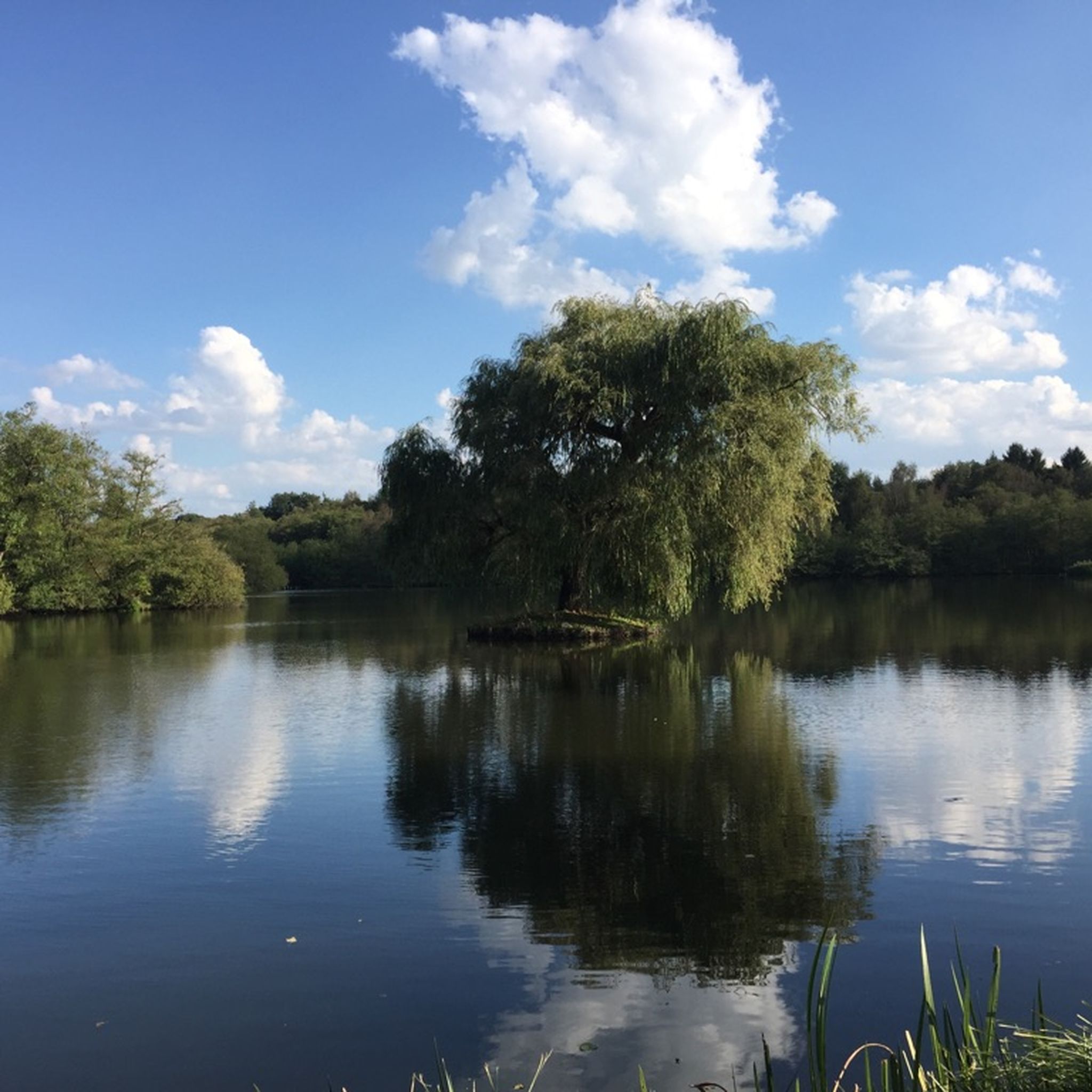
하인스베르그 주변의 다른 모험


커뮤니티 팁


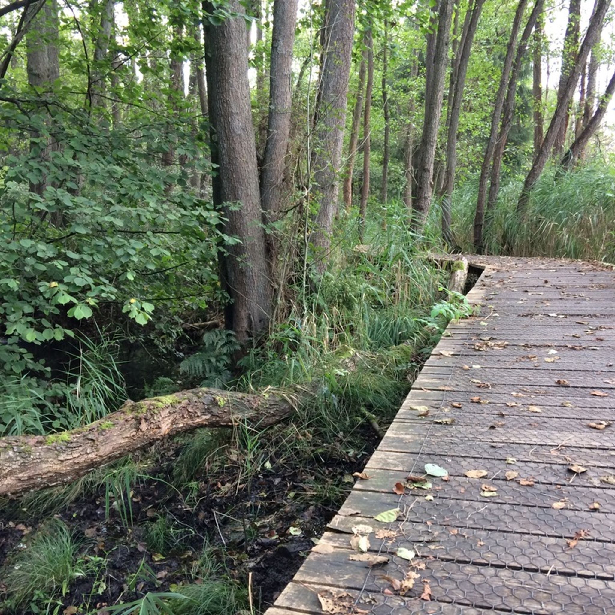
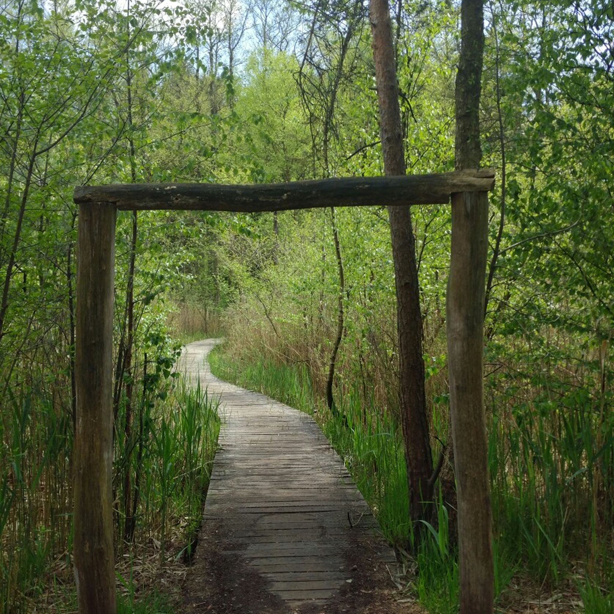
Rode Beek을 따라가는 널빤지 길은 진흙탕에 빠지는 것을 방지합니다. 또한 이곳을 방문하는 사람들에 의한 자연 훼손을 막아줍니다.
0
0

제방길 뒤편의 나무 판자 길에는 개를 데려갈 수 없습니다...
1
0

The Dalheim Mill offers the opportunity to stop for refreshments.
1
0

Deer can be found here in the morning and evening.
1
0

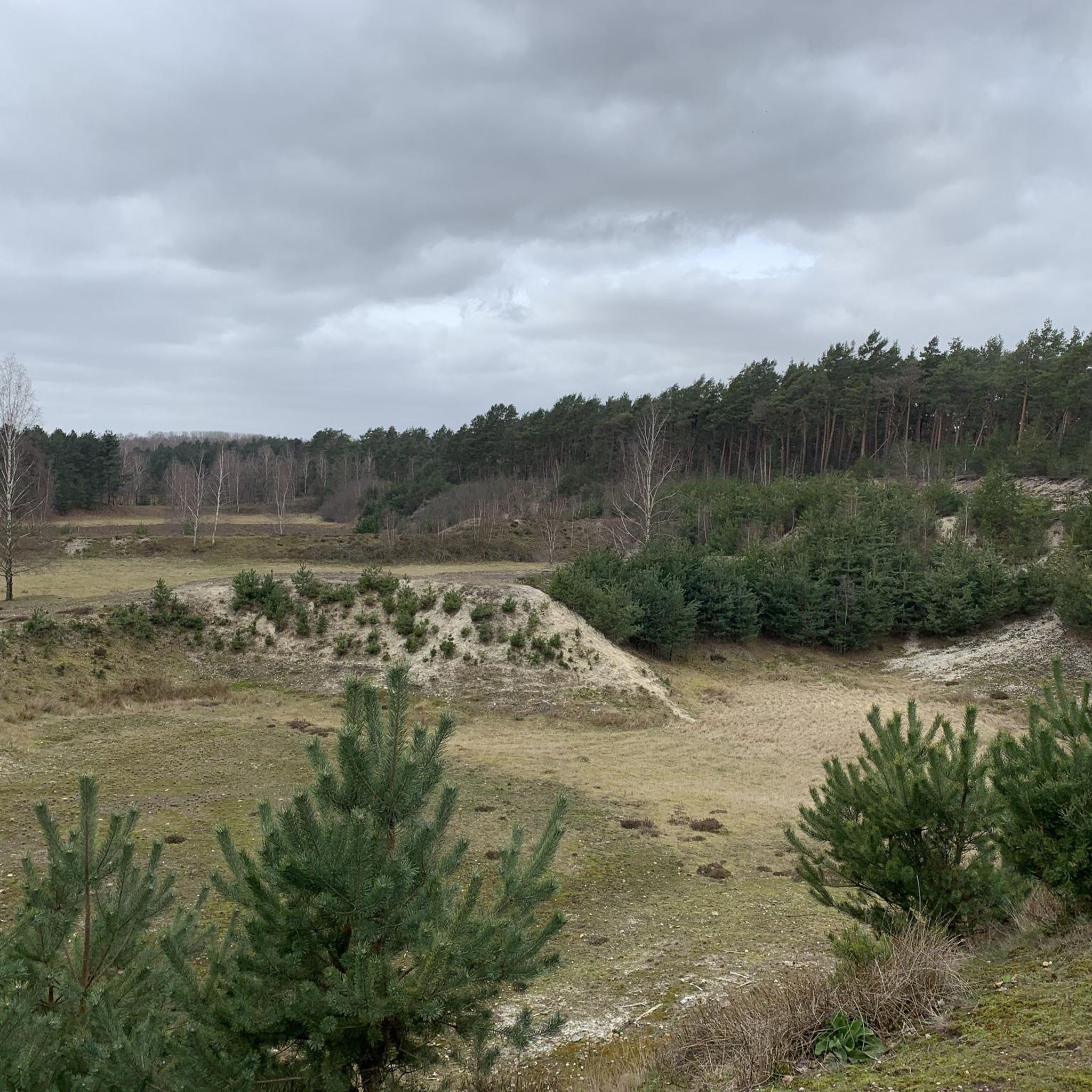
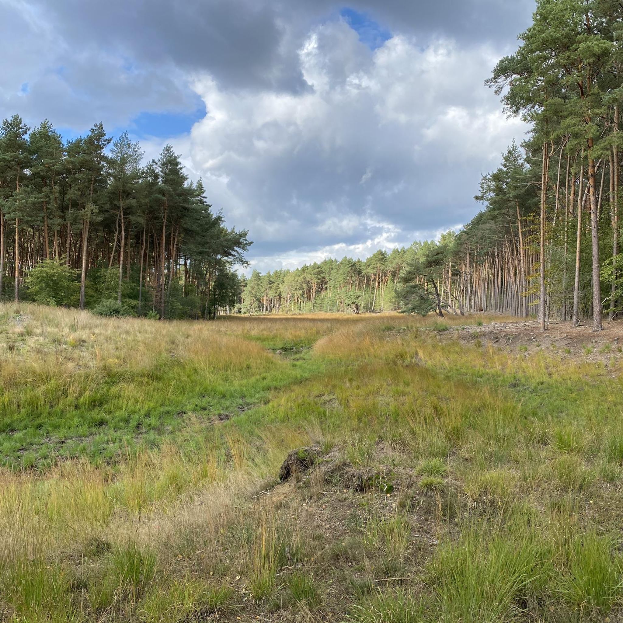
In the Teverener Heide Nature Reserve (NSG), you'll find various official lookouts and rest areas along the hiking trails where you can enjoy panoramic views of the natural surroundings. These spots have been deliberately created to provide visitors with a resting place overlooking heathland, fens, marshland, or sandy areas, so you can not only explore but also actively experience and observe nature. Along the signposted hiking trails, such as the Heideroute (marked purple), the Veenroute (black), the Meerroute (blue), and the Grote Rondwandeling (yellow), you'll regularly encounter waymarkers, rest areas, and viewpoints, often equipped with benches or open areas overlooking the heathlands and wetlands. Many maps and hiking trails, such as the Teewensee Circular Walk, explicitly highlight a viewpoint in the NSG Teverener Heide, indicating that there is a place where hikers/visitors can stop for a wide view of the nature reserve. These viewpoints aren't always towers or platforms like those you might be familiar with from dune areas, but rather benches and open spaces on slightly elevated heathlands or the edges of fens, offering unobstructed views of the landscape—ideal for photography, birdwatching, or simply enjoying the tranquility of the heathland.
0
0
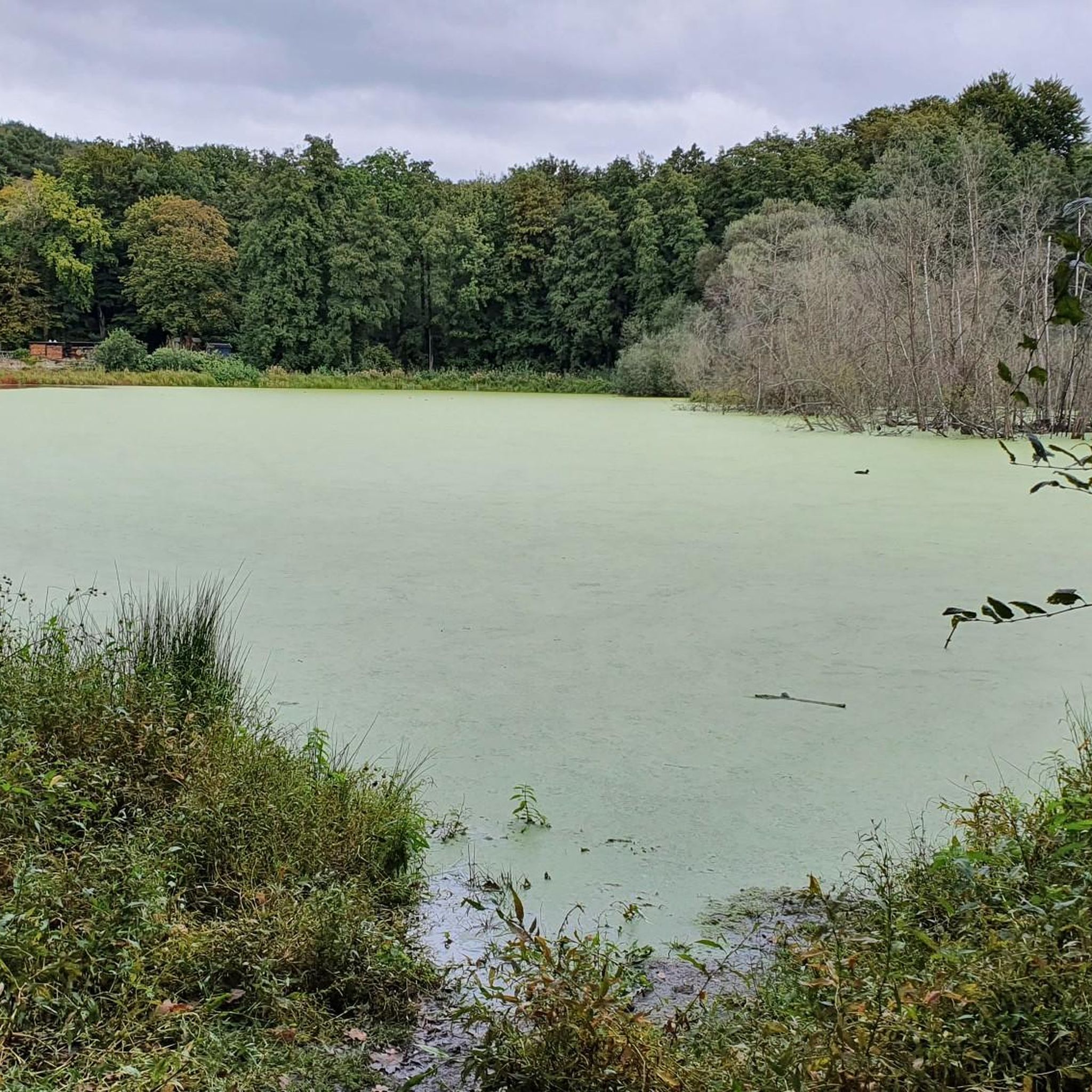
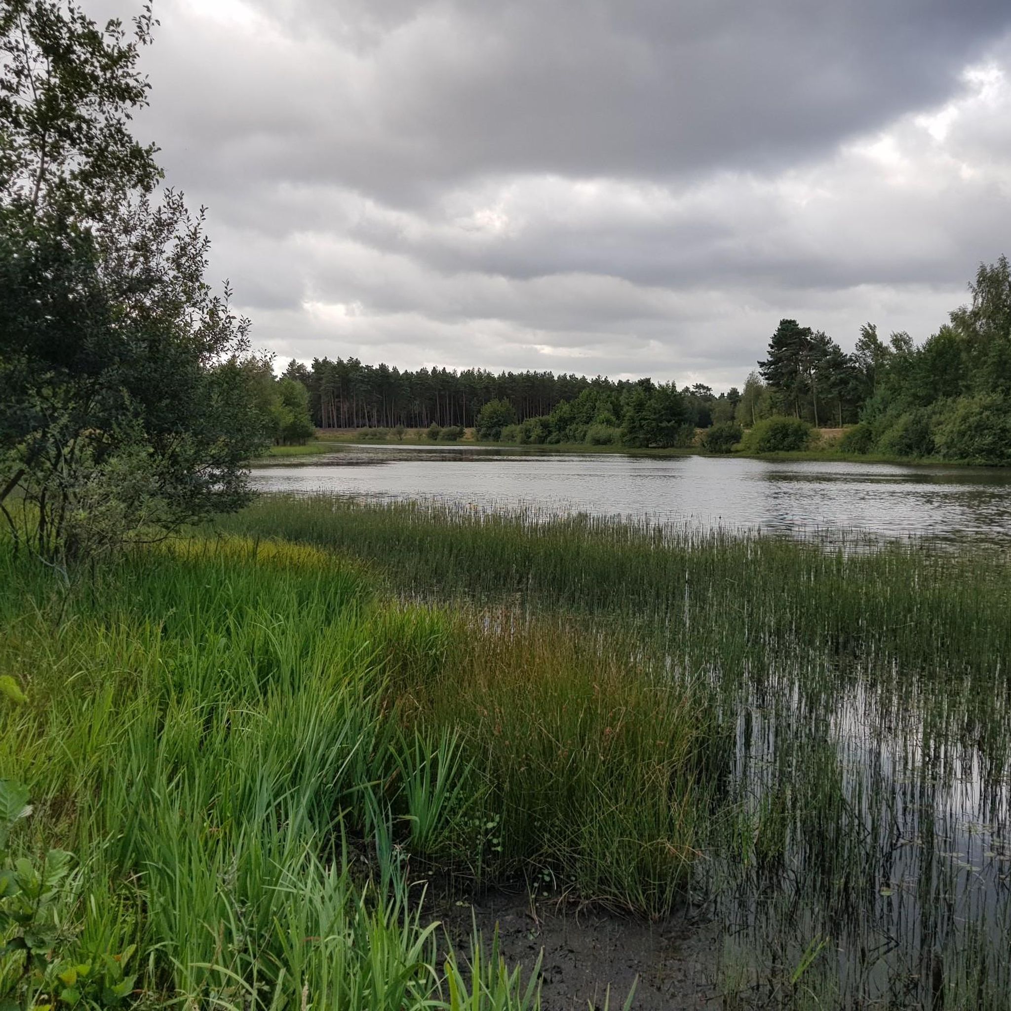
Teewensee is an idyllic lake surrounded by vast dunes and wooded areas, a place where water and sand blend harmoniously. Reeds and wild plants grow along the banks, while the open water provides a haven for birds, dragonflies, and other aquatic creatures. The area exudes peace and tranquility, ideal for walks or short breaks where you can fully immerse yourself in nature. The play of light on the water and the soft colors of the dunes change with each season, making Teewensee a photogenic and serene natural wonder.
0
0
하인스베르그 주변에서 가장 인기 있는 명소


찾고 계신 것을 찾지 못하셨나요?
하인스베르그에서 더 많은 하이킹를 확인하고 목적지에서 완벽한 경로를 찾아보세요.
더 살펴보기
다른 지역의 최고의 하이킹를 살펴보세요.
