20의 레벤티나가지 명소 & 주요 장소
레벤티나에는 둘러볼 만한 장소가 많답니다. 하이킹 또는 사이클링을 좋아한다면 레벤티나에 숨겨진 20
가지 보석을 만날 수 있을 거예요. 이 지역의 주요 명소를 살펴보면서 다음 모험을 계획해보세요.
마지막 업데이트: 10월 9, 2026


이런 장소를 발견하려면 지금 가입하세요
최고의 싱글 트랙, 봉우리 및 다양한 흥미로운 야외 장소에 대한 추천을 받아보세요.
카판나 캄포 텐시아
하이라이트 • 산장
번역자 Google •
팁에 의해


고트하르트 고개의 게크스 기념비
하이라이트 • 기념물
번역자 Google •
팁에 의해

카판나 코르노 그리예스
하이라이트 • 산장
번역자 Google •
팁에 의해


옛 성 고트하르트 호스피스
하이라이트 • 산장
The St. Gotthard Pass was first used as a pass starting in the 13th century, and the hospice, built at …
번역자 Google •
팁에 의해


무료로 가입하여 레벤티나의 더 많은 명소를 발견하세요.
이미 komoot 계정이 있나요?
오늘 무료 계정으로 시작하세요
다음 모험이 기다리고 있어요.
레벤티나 주변 인기 장소
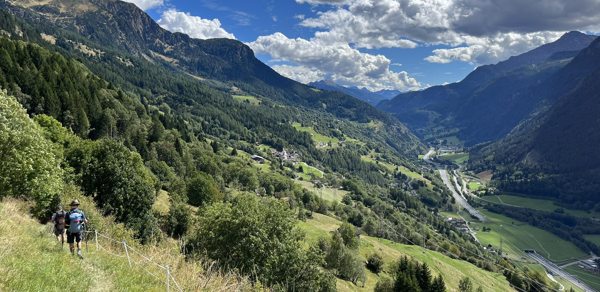
Strada alta - 스위스의 햇빛 터라스에서 하이킹

Alpejski Passes Trail - 완로이 대리스타일 아습니다.
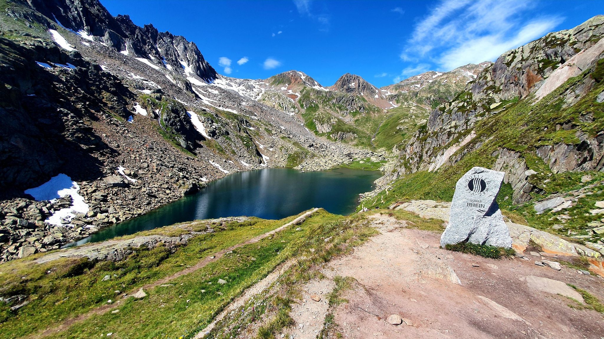
스위스의 고타르드 대륙을 타고 흐르는 흐름을 찾아서 — 사샘 트레일

정상의 즐거움 34단계 - 스위스의 알프스 해안 트레일 하이킹

스위스 전국 트레일을 따라 하이킹

제도이 인습니다 - Via Gottardo
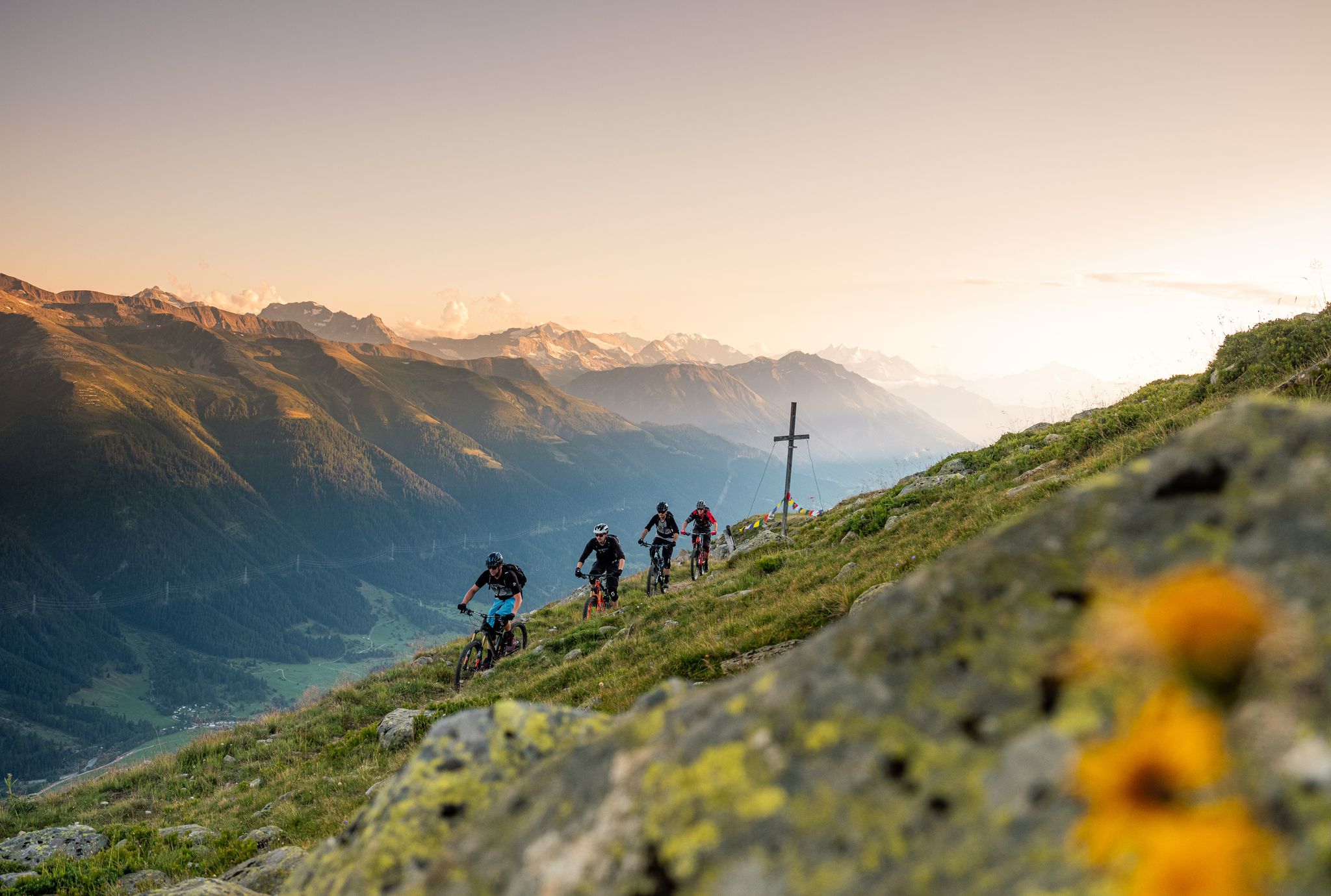
Rugged trails, spectacular views: trail adventures in the high valley of Goms
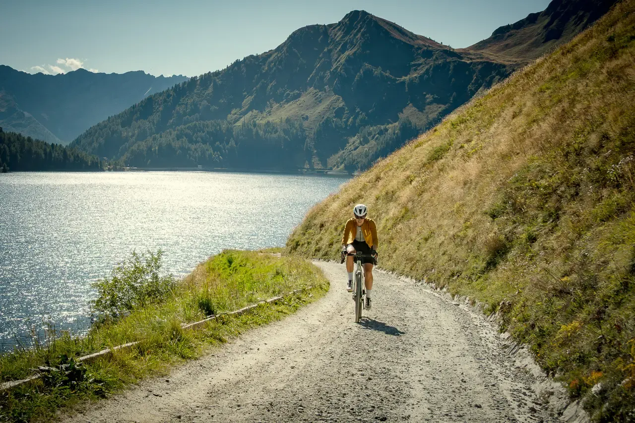
Ticino hut-to-hut: a 3-day alpine gravel escape
On the hunt for crystals and alpine lake magic – Gotthard Crystal Trek
On the hunt for crystals and alpine lake magic – Gotthard Crystal Trek
레벤티나의 다른 모험


커뮤니티 팁

고트하르트 고개의 옛 호스피스는 2008년부터 2010년까지 3성급 호텔로 개조 및 확장되었습니다. 건축가 Miller & Maranta와 구조 엔지니어 Conzett Bronzini Gartmann은 긴밀한 협력을 통해 마치 항상 그 자리에 있었던 것처럼 보이는 현대적인 구조물을 만들었습니다. 공간적, 역사적 맥락에 자연스럽게 통합되며, 그 단순함은 건축과 구조에 반영됩니다.
1
0

주차 요금 업데이트, 댐과 Cadagno di sotto 모두: 3시간 5프랑, 6시간 11프랑, 24시간 15프랑
0
0

성 고트하르트 고개는 스위스에서 가장 유명하고 역사적인 알프스 고개 중 하나입니다. 레폰틴 알프스에 해발 2,106미터 높이에 위치하며 중앙 유럽과 남부 유럽을 연결합니다. 구체적으로는 티치노주(아롤로)와 우리주(호스펜탈)를 직접 연결하는 도로 역할을 합니다. 정상과 산괴는 여행의 필요에 따라 여러 가지 방법으로 넘을 수 있습니다: 신 고트하르트 고개 도로: 여름철에 경치 좋고 원활한 현대식 아스팔트 도로입니다. 트레몰라: 24개의 포르피리 석판으로 포장된 구불구불한 길로 유명한 역사적인 남쪽 경사면으로, 자전거 타는 사람, 오토바이 타는 사람, 향수를 느끼는 사람들이 매우 좋아합니다. 도로 터널(A2): 연중 개방되는 16.9km 길이의 고속도로 터널로 빠르지만 교통 체증과 줄이 자주 발생합니다. 철도 터널: 1882년의 선구적인 터널과 현대적인 성 고트하르트 베이스 터널을 포함하여 초고속입니다.
2
0


Cappella di San Gottardo - Chapel at the Gotthard Hospice The St. Gotthard Pass was first used as a pass starting in the 13th century, and the hospice, built at the behest of Milanese Archbishop Galdino (1171), also dates from this period. A chapel was built alongside the hospice on the site of a small church dating back to the 9th/10th century. It was rebuilt towards the end of the 18th century at the instigation of the Capuchins, who managed the hospice until 1799. Text / Source: Agenzia turistica ticinese SA https://www.ticino.ch/de/commons/details/Kapelle-beim-Gotthard-Hospiz/4741.html#:~:text=Der%20Sankt%20Gotthard%20wur de%20as%20Pass%C3%BCtransition%20first%20from,century%20,%20a%20chapel%20was%20built%20side%20of%20hospice%20.
16
0
St. Gotthard Pass The Gotthard Pass divides waterways and connects various cultural and linguistic areas. Its significance as an "Alpine transversal" began at the beginning of the 13th century with the construction of the legendary Devil's Bridge in the Schöllenen Gorge. For many centuries, trade caravans (trading cattle and cheese for grain, wine, rice, and salt), mercenaries, messengers, and even entire armies crossed the pass. Between 1818 and 1836, the canton of Uri, with the help of other cantons, expanded the pass road, thus achieving its predominance among Swiss Alpine passes. The Gotthard Pass has significantly shaped the economy and culture of Central Switzerland for centuries. Until the opening of the Gotthard Railway in 1882, the Gotthard Pass was also used in winter. Dozens of roadmen and shovel workers were employed for this purpose. In 1922, the post bus replaced the stagecoach, and with the introduction of gasoline duties in 1923, the expansion of the pass roads began, continuing to this day. The old pass road on the south side, the Tremola between the top of the pass and Airolo, is still preserved and passable. This stretch of road recalls more tranquil journeys over the Gotthard that occurred not so long ago. In the 19th and 20th centuries, the Gotthard Pass was "condensed" into a myth, a symbol of Switzerland's independence, unity, and identity. Text / Source: Interest Group for Alpine Passes IAP, PO Box 11, 6491 Realp https://alpen-paesse.ch/de/alpenpaesse/gotthardpass
15
1

We - over-60s with good mountain skills - descended from the Cabanna Cadlimo through the Val Cadlimo to the Lukmanier Pass. The common description that the route is mostly on easy-to-walk paths is a dangerous understatement. It goes over long stretches over boulder fields, which require very good surefootedness and balance. Then down over some smooth rock ledges, which are secured with chains. So it's not all that easy!
1
0

Good CAS hut at the westernmost tip of Ticino.
2
0


더 살펴보기
찾고 있는 하이라이트를 아직 못 찾으셨나요? 다른 지역의 주요 명소 가이드를 확인해보세요:
