라 프라이시누즈 최고의 등산 경로
5.0
(3)
14
등산객
4
하이킹
라 프라이시누즈에서 하이킹하며 갭 구석 부분까지 살펴볼까요? 라 프라이시누즈에 있는 모든 하이킹 및 워킹 경로 컬렉션 중 가장 멋진 하이킹 경로를 엄선하여 소개해드릴게요. 다른 하이커가 공유한 실제 팁과 사진을 살펴보고 후기를 읽으며 마음에 드는 라 프라이시누즈 워킹 경로를 찾아보세요.
마지막 업데이트: 10월 26, 2026
5.0
(1)
8
등산객
9.08km
03:54
800m
800m
보통 등산 코스. 좋은 체력 필요. 쉽게 걸을 수 있는 길.
2
등산객
9.20km
03:24
570m
570m
어려운 등산 코스. 좋은 체력 필요. 튼튼한 신발을 신고 미끄러지지 않게 조심해야 하며, 높은 산을 오른 경험이 있어야 함.

5.0
(1)
2
등산객
6.65km
01:50
110m
110m
초급용 등산 경로. 쉽게 걸을 수 있는 길.
5.0
(1)
2
등산객
11.5km
04:12
690m
690m
보통 등산 코스. 좋은 체력 필요. 쉽게 걸을 수 있는 길.
투어 추천은 다른 사람들이 komoot에서 완료한 수천 개의 활동을 바탕으로 구성되어 있습니다.
오늘 무료 계정으로 시작하세요
다음 모험이 기다리고 있어요.
커뮤니티 팁


Col Bayard에서 바라본 Col de Gleize는 Hautes-Alpes 지역에 위치한 산길입니다. 길이는 4.8km이고 총 상승 고도는 448m입니다. Col Bayard에서 바라본 Col de Gleize의 평균 경사는 10%입니다.
0
0

It is one of the highest bocages in Europe. These landscapes are typical in France, but this one is one of the best preserved. It has a superb network of beech hedges, crops, meadows and woods which attracts beautiful biodiversity and many birds.
0
0
The Col de Gleize car park is located next to a designated picnic area. It is the starting point for many hiking trails that intersect here.
0
0

For a great picnic with a 360° view of breathtaking landscapes: meet at Pic Chaudun 🌟
0
0

It is accessible by car via a pretty narrow road and has parking as it is the starting point for many trails.
1
0

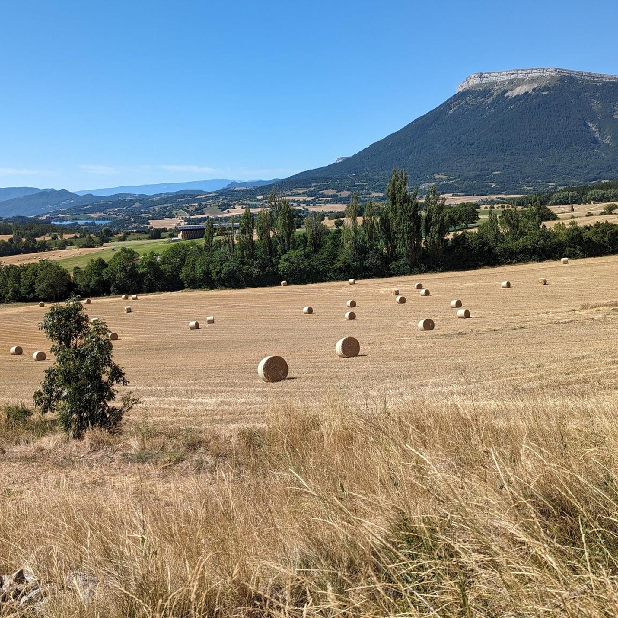
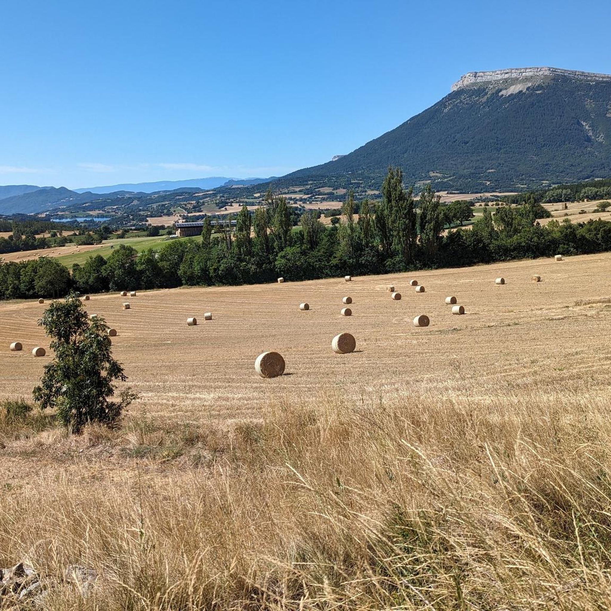
From here we have a superb view of the Bure plateau, a plateau at an altitude of 2,552 m in the Dévoluy massif - site of the NOEMA Interferometer observatory.
0
0
The Montagne de Céüse culminates at an altitude of 2,016m. It is included in the Natura 2000 protected area. Some of the most extreme climbing routes in the world are found on the cliffs of the mountain. From the top there is an exceptional view.
0
1
라 프라이시누즈 주변에서 가장 인기 있는 명소


더 살펴보기
다른 지역의 최고의 산악 하이킹 & 경로를 살펴보세요.
