크레부 최고의 등산 경로
4.8
(10)
31
등산객
2
하이킹
크레부에서 하이킹하며 갭 구석 부분까지 살펴볼까요? 크레부에 있는 모든 하이킹 및 워킹 경로 컬렉션 중 가장 멋진 하이킹 경로를 엄선하여 소개해드릴게요. 다른 하이커가 공유한 실제 팁과 사진을 살펴보고 후기를 읽으며 마음에 드는 크레부 워킹 경로를 찾아보세요.
마지막 업데이트: 10월 26, 2026
5.0
(7)
15
등산객
11.3km
04:20
590m
590m
보통 등산 코스. 좋은 체력 필요. 대부분 걸을 수 있는 길. 안정적인 보행이 필요함.
4.5
(2)
10
등산객
9.31km
04:16
760m
770m
보통 등산 코스. 좋은 체력 필요. 대부분 걸을 수 있는 길. 안정적인 보행이 필요함.

5.0
(1)
6
등산객
20.9km
09:01
1,340m
1,340m
어려운 등산 코스. 우수한 체력 필요. 튼튼한 신발을 신고 미끄러지지 않게 조심해야 하며, 높은 산을 오른 경험이 있어야 함.
투어 추천은 다른 사람들이 komoot에서 완료한 수천 개의 활동을 바탕으로 구성되어 있습니다.
오늘 무료 계정으로 시작하세요
다음 모험이 기다리고 있어요.

커뮤니티 팁

This varied hike allows you to discover a traditional mountain village (Fouillouse), the pretty refuge of Chambeyron, and finally the magnificent Lac des Neuf Couleurs, nestled at the foot of the Aiguille de Chambeyron which is the highest point in the Alpes-de-Haute-Provence department. The topo and photos at this address: https://treksrandos.fr/alpes/alpes-de-haute-provence-04/chambeyron/lac-des-neuf-couleurs-2841-m/
2
0

Nowadays a beautiful and peaceful place in the mountains, in 1940 there was fighting here between the French and Italians. Easily reached via a beautiful hiking trail from Fouillouse.
1
0

Unfortunately, swimming is not allowed in the lake, it is prohibited
1
3
If you go there following "Waze", from Embrun, once you have taken the road which goes up (route de Caléyère), stay on the road and do not follow the Waze directions which send you onto unpaved private roads (which do not do not shorten the journey)
1
0
12 August 2023 the water source near the Barenghi bivouac is dry
6
0

Small comfortable bivouac quite popular in season, with hikers who come to enjoy the region or climbers who tackle the south face of the Aiguilles. During my visit, it was neither very tidy nor very clean, unfortunately.
5
0

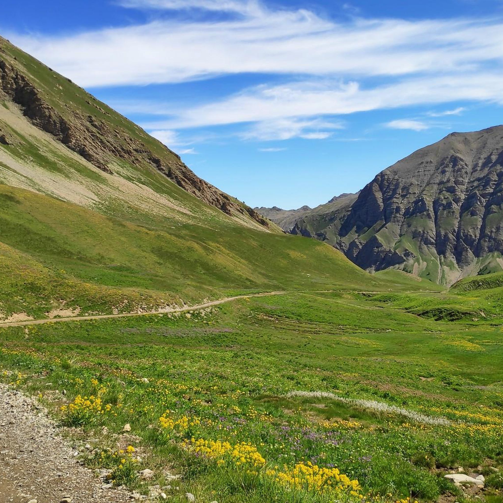
Very nice hike that leads to the foot of the high peaks of the Ubaye massif (Brec and Aiguille de Chambeyron), and to the Italian border.
1
0
At the exit of Fouillouse, take the marked path starting on the left towards the Chambeyron refuge and the lake of nine colors. This part climbs quite steeply for a long time (+500m vertical drop) and is the most difficult part of the hike. Always follow the path to the shelter. Arriving at the Chambeyron refuge, we head towards the lake of nine colors. At the lake of nine colors, go out the same way towards the Chambeyron relay towards the long lake. On the long lake, fork towards Fouillouse via the Coletta pass Go down the Coletta pass, past a shepherd's hut and down into the valley. Once in the valley, turn right towards Fouillouse.
3
0
크레부 주변에서 가장 인기 있는 명소


더 살펴보기
다른 지역의 최고의 산악 하이킹 & 경로를 살펴보세요.
