경로플래너기능업데이트
App
로그인 또는 가입
앱 다운로드
로그인 또는 가입
경로
Places to see
Mountain Peaks
독일
튀링겐
바르트부르크크라이스

우른스하우젠

우른스하우젠‬에서 가장 멋진 ‪16‬개의 산 정상


우른스하우젠의 산 정상에 오르면 이 지역의 아름다운 모습을 제대로 구경할 수 있어요. 다만, 16
곳이나 되는 산 정상 중에서 어떤 곳을 가야 할 지 고민된다는 게 문제죠. 우른스하우젠에서 가장 멋진 산 정상을 살펴본 후에 마음에 드는 산 정상을 다음 모험 계획에 추가해보세요.

마지막 업데이트: 11월 6, 2026

플레스 전망탑

하이라이트 • 전망대

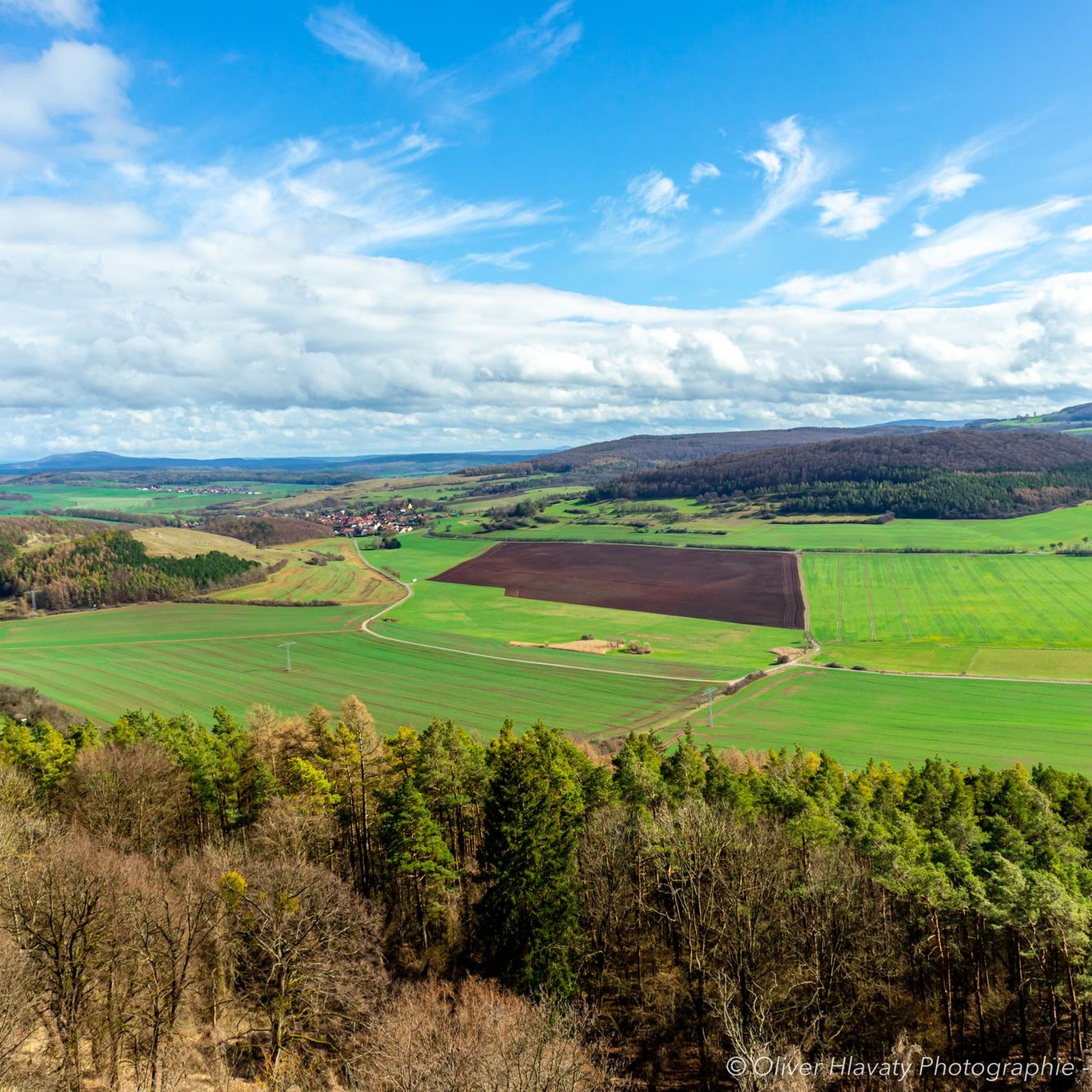
The Plesturm adorns the mountain of the same name and offers you a wonderful all-round view. Benches and tables that have been set up around invite you to rest.

번역자 Google •

팁에 의해

하이킹 보기휴대폰으로 전송
저장
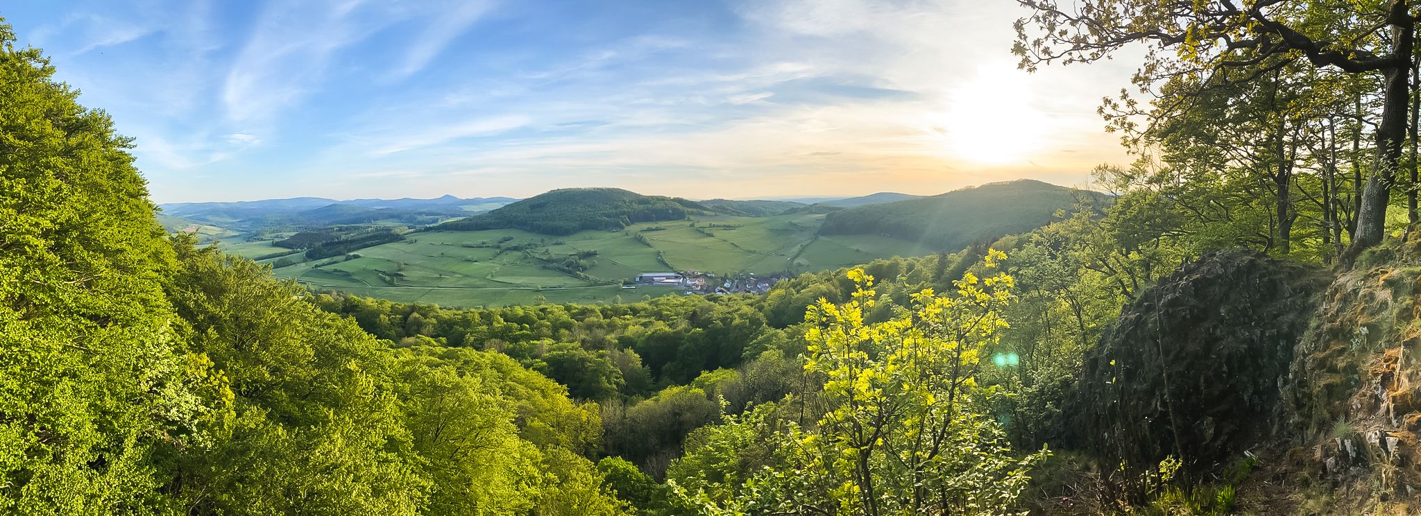
Here on the summit of the Brilleberg you have a wonderful view over the Rhön to the Thuringian Forest and Rennsteig. The Dermbacher Hütte is a popular stop for hikers …

번역자 Google •

팁에 의해

저장

이런 장소를 발견하려면 지금 가입하세요

최고의 싱글 트랙, 봉우리 및 다양한 흥미로운 야외 장소에 대한 추천을 받아보세요.

무료 회원 가입
To the west of Tiefenort, the conical hill of the 431 m high Krayenberg rises above the Werra valley. The ruins of Krayenburg castle stand on the summit

번역자 Google •

팁에 의해

저장

Geiskopf 블록필드 및 정상

하이라이트 • 정상

From the Geißköpfchen (627 m) on the Dietrichsberg there is a fantastic view of the Rhön with its highest mountain, the Wasserkuppe. You can also see the game of skittles, …

번역자 Google •

팁에 의해

저장

바이어 (714m)

하이라이트 • 정상

The Baier forms the most powerful basalt summit of the Thuringian Rhön. He dominates with his 714 meters, the small cauldron of the Feldatales near Dermbach. The striking mountain is …

번역자 Google •

팁에 의해

저장

무료로 가입하여 우른스하우젠 주변의 더 많은 봉우리를 발견하세요.

무료 회원 가입

이미 komoot 계정이 있나요?

오늘 무료 계정으로 시작하세요

다음 모험이 기다리고 있어요.

로그인 또는 가입하기

우른스하우젠 주변 인기 장소

Stages of the HOCHRHÖNER Premium Hiking Trail

가족 코스 - 어린이들과 롱 지방을 여행하다

Hike Germany의 Rhön Mountains on the Hochrhöner Trail

우른스하우젠 하이킹

우른스하우젠 사이클링

우른스하우젠 러닝 트레일

우른스하우젠 로드 사이클링 경로

우른스하우젠 MTB 트레일

우른스하우젠 주변 그래블 라이딩

우른스하우젠 주변의 다른 모험

Stages of the HOCHRHÖNER Premium Hiking Trail

하이킹 컬렉션 에 의해

Rhön GmbH

커뮤니티 팁

JR on Tour
2월 21, 2025, Geiskopf Blockfield and Summit

Magnificent summit with a bench to rest and enjoy the view

번역: Google•

1

0

The climb was more difficult than expected, lots of nettles, burrs, blackberry bushes... and stones. But it's nice and quiet up here you can enjoy the view to the west on a bench 👉🏻 Bunker (type SBK) border observation post of the 5th Mühlhausen reconnaissance battalion of the GSSD (demolished/ruin) 📜https://www.sachsenschiene.net/bunker/bun/bun_984.htm

번역: Google•

1

0

Next to the ruins of the old Krayenburg is the new Krayenburg. Unfortunately, it is only open on a few weekends.

번역: Google•

6

0

The ruins of the Krayenburg on the Krayenberg are a place with ancient history. The ruins are not directly accessible, but can be viewed.

번역: Google•

6

0

This view is unparalleled and makes hikers pause in awe on the summit of the Gläserberg. No tree, no bush obscures the view from the bare mountaintop, which greets visitors from afar. Anyone who has managed the climb to the 671-metre-high Gläserberg is rewarded with a fantastic panoramic view. A panorama that stretches far beyond the borders, with the Wartburg (34 km) in the north, the Schneekopf (47 km) in the east, the Heidelstein (26 km) in the south and the Rößberg (14 km) in the west at the hiker's feet. A beautiful spot on earth, which was sung about in the Gläserlied long ago with the words: "Happy hikers will flock from all over the wide Rhön to look out into the distant lands from your proud heights!" Source:https://www.rhoenforum.de/tourismus-tipps/wanderh%C3%BCtten/dermbacher-h%C3%BCtte-gl%C3%A4serberg/

번역: Google•

13

1

To the west of Tiefenort, the conical hill of the 431 m high Krayenberg rises above the Werra valley. The ruins of Krayenburg castle stand on the summit

번역: Google•

17

0

Once you have climbed the Pleß you will be rewarded with a great view. There is a playground for the little ones and plenty of seating for the adults to relax. The hiking hut is open on weekends and public holidays in the afternoons. 👍🏻

번역: Google•

5

0

Even without catering, the Krayenburg is worth a trip. The paths are easy to hike and don't require any major skills

번역: Google•

4

0

우른스하우젠 주변에서 가장 인기 있는 경로

우른스하우젠 가족 하이킹

우른스하우젠 주변에서 가장 인기 있는 명소

Places to see

Store rating

komoot 모바일 앱으로 영감을 받아보세요

무료 komoot 계정로 끝없는 야외 모험을 손쉽게 찾고, 맞춤 설정하며 길안내할 수 있어요.

또는

지금 komoot에 가입하세요
Store rating

더 살펴보기

이 가이드를 통해 우른스하우젠 주변의 더 놀라운 정상들을 확인해보세요:

게이사Hörselberg-Hainich룰라우타 판로다트레푸르트바차운터브레이즈바흐슈타틀렝스펠트웨일라나쁜 리벤슈타인버틀러바트 잘중겐덤바흐Oechsen베르카/베라티에페노르트크라옌베르게마인데이프타막술무어그룬드칼텐노르드하임크로이츠부르크밀라볼프스부르크-운케로다크라우트하우젠프라우엔제엠퍼트하우젠비젠탈디도르프/론게르스텐겐브룬하르트하우젠게르스텐그룬트Neidhartshausen바치펠트-임멜본젤라/론에텐하우젠 안 데어 슐프랑켄로다에벤하우젠나짜베르카 포 뎀 하이니히비쇼프로다할룽겐Öchsenberg단크마르하우젠

근처 어드벤처 가이드

Horn Mit Kahlköpfchen 즐길거리

background

새로운 정복을 위한 준비를 하세요

무료로 가입하기
탐험하기
경로경로 플래너기능바우처 사용하이킹MTB 트레일로드 사이클링 경로바이크패킹사이트맵
앱 다운로드
소셜 미디어에서 팔로우하기

© komoot GmbH

개인 정보 보호 정책