Bukowsko 최고의 그래블 라이딩 코스
4.8
(8)
39
자전거 타는 사람
3
라이딩
Bukowsko의 엄선된 그래블 라이딩 코스에서 거친 라이딩의 매력을 경험하세요. 도전정신을 자극하는 업힐 코스이든 아름다운 풍경 트레일이든, Bukowsko 최고의 그래블 라이딩 경로를 살펴보세요.
마지막 업데이트: 11월 2, 2026
4.7
(3)
12
자전거 타는 사람
53.7km
03:23
670m
670m
어려운 자갈길 타기. 우수한 체력 필요. 대부분 포장된 노면.
5.0
(1)
6
자전거 타는 사람
81.8km
05:52
1,460m
1,460m
어려운 자갈길 타기. 우수한 체력 필요. 대부분 포장된 노면.

4.5
(2)
8
자전거 타는 사람
23.0km
01:24
270m
270m
보통 자갈길 타기. 좋은 체력 필요. 대부분 포장된 노면.
1
자전거 타는 사람
30.8km
02:19
360m
360m
보통 자갈길 타기. 좋은 체력 필요. 대부분 포장된 노면.
5.0
(1)
1
자전거 타는 사람
52.9km
03:35
1,140m
1,140m
어려운 자갈길 타기. 우수한 체력 필요. 대부분 포장된 노면.
투어 추천은 다른 사람들이 komoot에서 완료한 수천 개의 활동을 바탕으로 구성되어 있습니다.
오늘 무료 계정으로 시작하세요
다음 모험이 기다리고 있어요.

커뮤니티 팁

더 많은 정보와 사진: https://pl.wikipedia.org/wiki/Rezerwat_przyrody_%C5%B9r%C3%B3dliska_Jasio%C5%82ki https://www.zielonepodkarpacie.pl/pl/obszary-chronione1/rezerwaty-przyrody/zrodliska-jasiolki/ https://www.zielonepodkarpacie.pl/rezerwaty-przyrody/zrodliska-jasiolki/ https://rymanow.krosno.lasy.gov.pl/rezerwaty-przyrody https://parkikrosno.pl/475-parki/12515-jasliski-park-krajobrazowy/12572-rezerwat-przyrody-zrodliska-jasiolki.html
2
0

Data form for a natural monument. Name Zofia (...) Description The Japanese magnolia (Magnolia kobus) tree measures 9.9 m in height, and the trunk circumference measured at a height of 130 cm is 152 cm. (...) The magnolia is a distinctive landscape element due to its slightly inclined form and very high ornamental value during flowering and vegetation. It also stands out for its size and spreading crown – among other trees of the same genus or species at least in the municipality. The tree stands out in the area for its advanced age, estimated at approximately 70 years. The tree remains in good sanitary condition, has a fully leafy crown, and blooms profusely in spring, attracting the attention of residents and tourists. (...) Source and more: https://crfop.gdos.gov.pl/CRFOP/download/pdf/PL.ZIPOP.1393.PP.1817011.2617.pdf
0
0

In places 21% gradient
0
0
Recently, asphalt was laid on the last missing section (counting from the observation tower through Dolina to the Sewage Treatment Plant in Zagórz) - I mean the short section from the barbecue area on the San River towards the buildings of the village of Dolina. The section where the bicycle route moves away from the San River and has the character of a local street, without the "pedestrian and bicycle path" signs. When driving after dark, be careful of the deep ditch along this street.
1
1

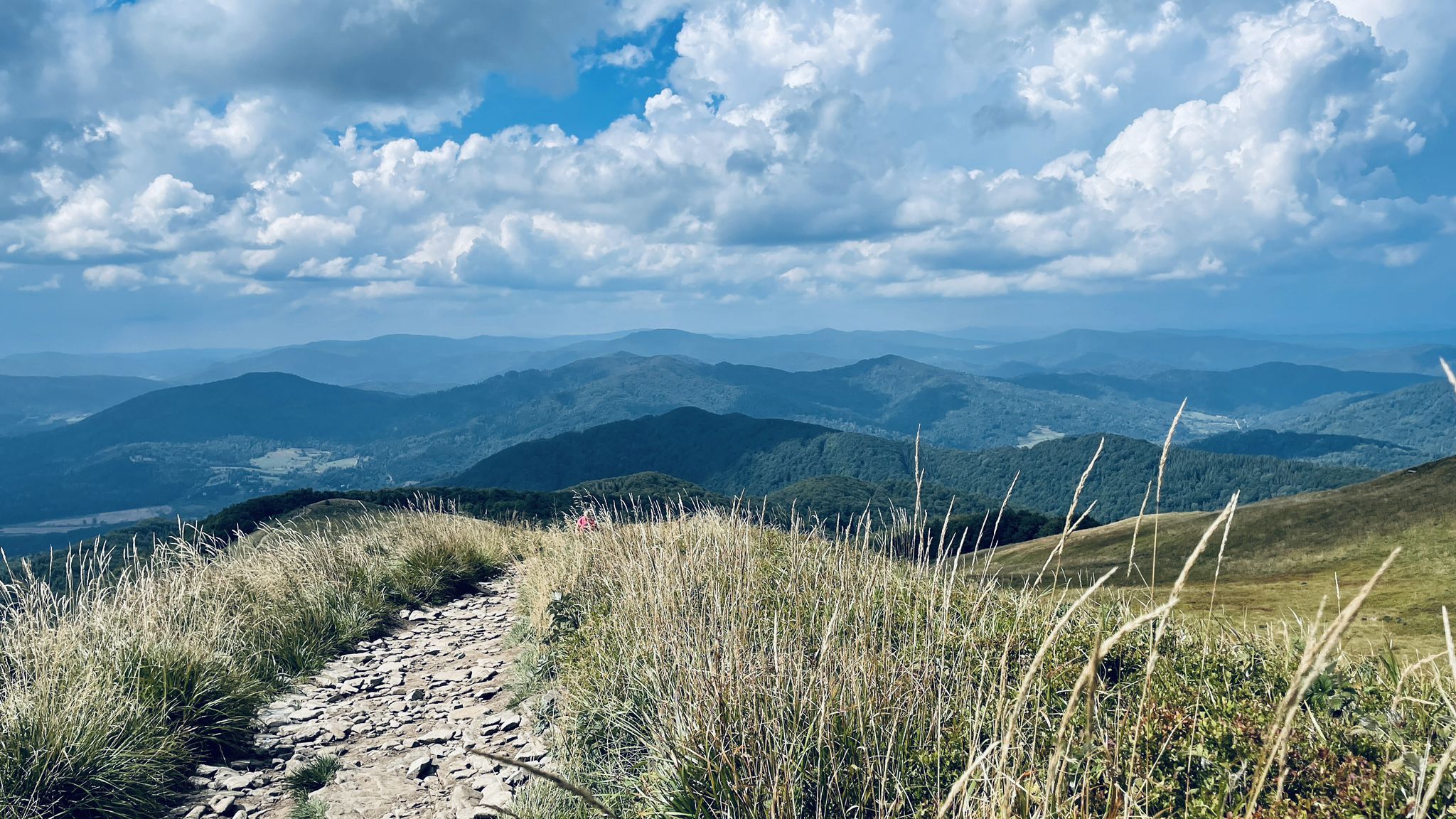
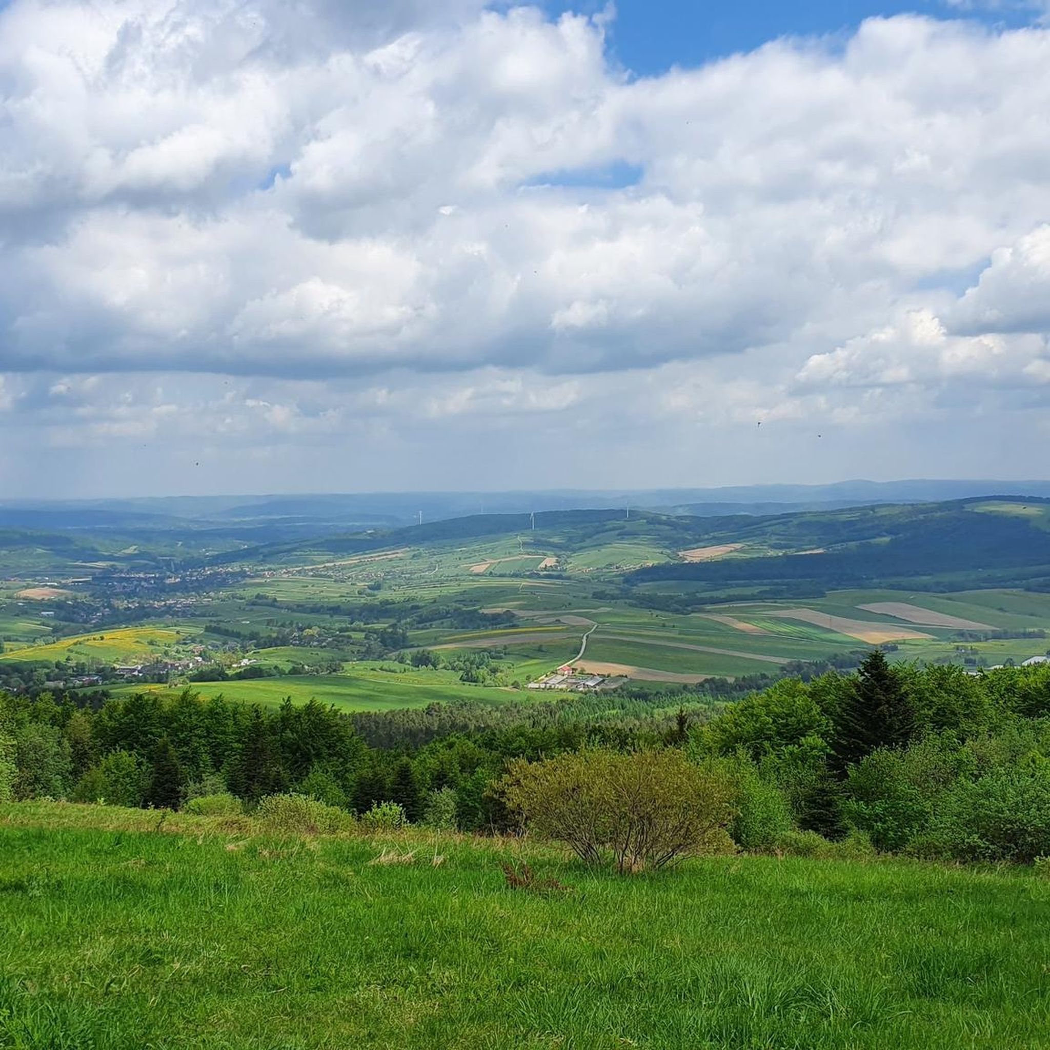
The bald peak of the Przymiarki mountain, 626 m above sea level. Sometimes you can even see the Tatra Mountains from here.
2
0
A small (only 3 meters high), but very picturesque waterfall on the Wisłoczek stream.
1
0
Student Tent Base "Wisłoczek" run by the Student Beskid Guides Association from Rzeszów. In the summer months, you can find accommodation here in large tents with bunks or pitch your own tent.
1
0
Bukowsko에서 가장 인기 있는 명소


더 살펴보기
다른 지역의 최고의 그래블 라이딩를 살펴보세요.
