자우샤임 주변 최고의 그래블 라이딩 코스
4.5
(115)
529
자전거 타는 사람
55
라이딩
자우샤임 주변의 엄선된 그래블 라이딩 코스에서 거친 라이딩의 매력을 경험하세요. 도전정신을 자극하는 업힐 코스이든 아름다운 풍경 트레일이든, 자우샤임 주변 최고의 그래블 라이딩 경로를 살펴보세요.
마지막 업데이트: 11월 2, 2026
4.5
(6)
22
자전거 타는 사람
70.9km
04:18
580m
580m
어려운 자갈길 타기. 우수한 체력 필요. 대부분 포장된 노면.
4.5
(2)
20
자전거 타는 사람
57.8km
03:47
60m
60m
보통 자갈길 타기. 좋은 체력 필요. 대부분 포장된 노면.

4.7
(7)
20
자전거 타는 사람
43.6km
02:31
100m
100m
보통 자갈길 타기. 좋은 체력 필요. 대부분 포장된 노면.
4.3
(3)
7
자전거 타는 사람
31.0km
02:06
430m
430m
보통 자갈길 타기. 좋은 체력 필요. 대부분 포장된 노면.
12
자전거 타는 사람
32.4km
02:21
120m
120m
보통 자갈길 타기. 좋은 체력 필요. 대부분 포장된 노면.
더 다양한 경로와 다른 탐험가들의 추천을 살펴보세요.
이미 komoot 계정이 있나요?
투어 추천은 다른 사람들이 komoot에서 완료한 수천 개의 활동을 바탕으로 구성되어 있습니다.
오늘 무료 계정으로 시작하세요
다음 모험이 기다리고 있어요.


커뮤니티 팁


더 자세히 알고 싶으시면 이 페이지를 방문하십시오: https://sundgaufront.pharmafix.com/index.php/interaktive-frontkarte
1
0

이곳만큼 마당 입구에 사암 아치형 통로가 많은 곳은 처음 봤습니다. 알자스 라인 평원의 중간에 있는 마을들은 장관입니다. 모두가 Route de Vin이나 라인 강변을 따라 지나가지만, 알자스의 이 지역은 관광적으로는 소홀히 다뤄지고 있습니다. 어쩌면 잘 된 일일지도요! :-))
0
0

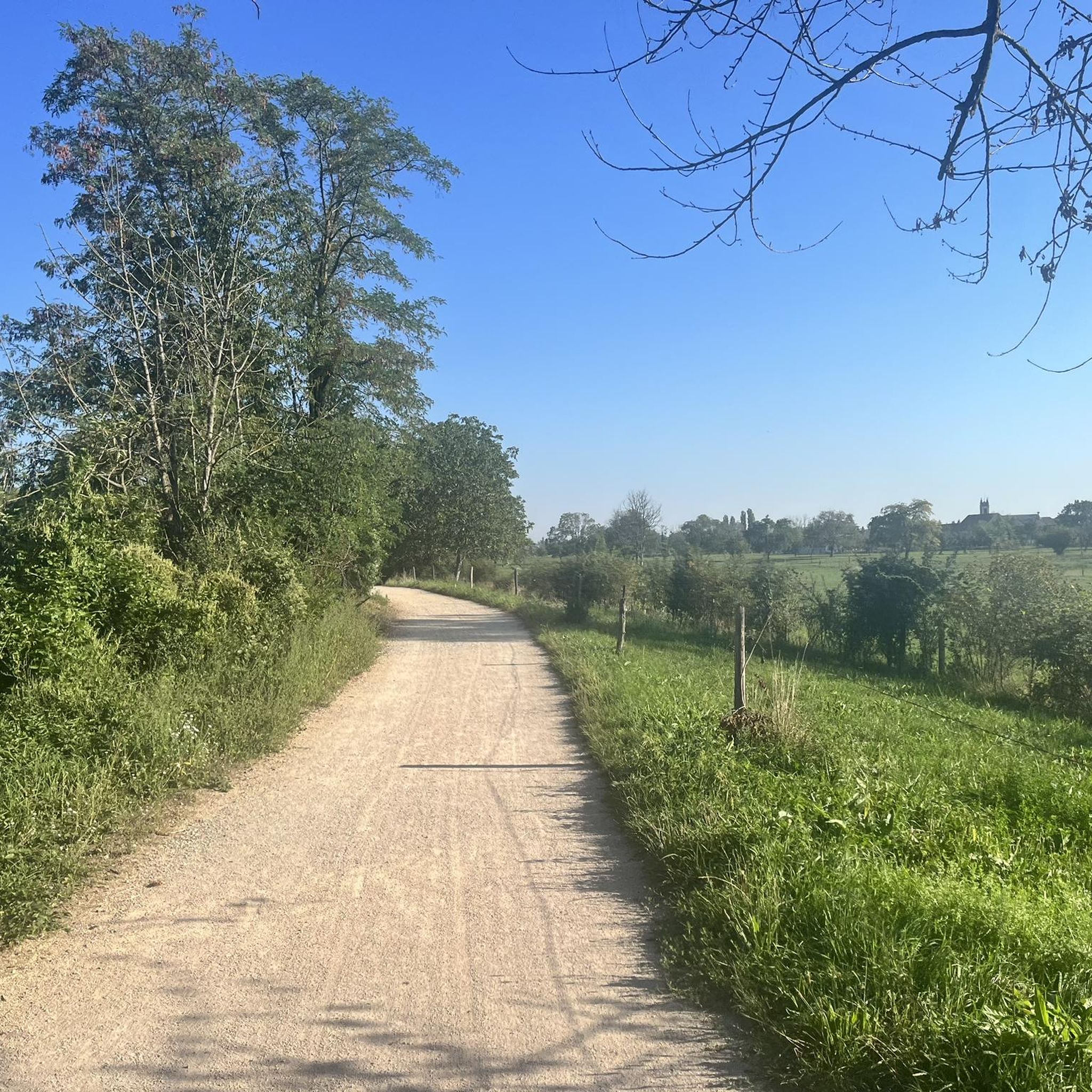
자전거 이용자들은 차들로부터 완전히 보호됩니다. 칙칙한 풍경.
0
0


The oldest surviving mention of Lutterbach dates back to 735. It already had a church at that time. The village was dependent on the Murbach Abbey. From the beginning of the 14th century until the French Revolution, Lutterbach belonged to the Cistercian monastery of Lützel.
0
0

The World War I Bunker Trail in Burnhaupt-le-Bas On the Bunker Trail, you can discover World War I fortifications built by the German army. After the fighting in the summer and autumn of 1914, the front in Upper Alsace stabilized on the Cernay-Dannemarie line. The municipal district of Burnhaupt-le-Bas remained on the German side. In December 1914 and January 1915, French offensives in this sector regularly clashed with the German lines. Numerous bunkers, command posts, and artillery posts. The tour can be done by mountain bike or on foot (hiking boots).
0
0

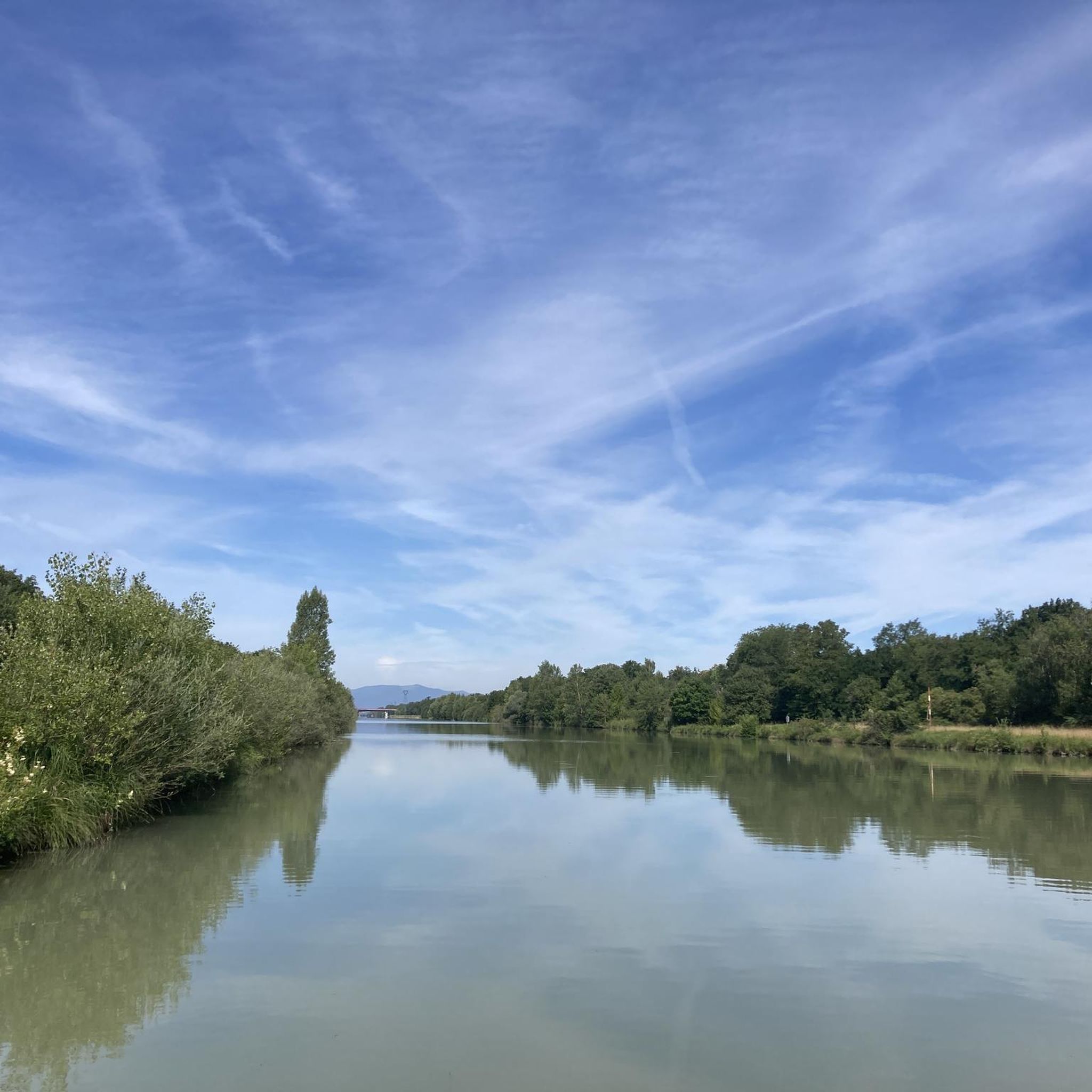
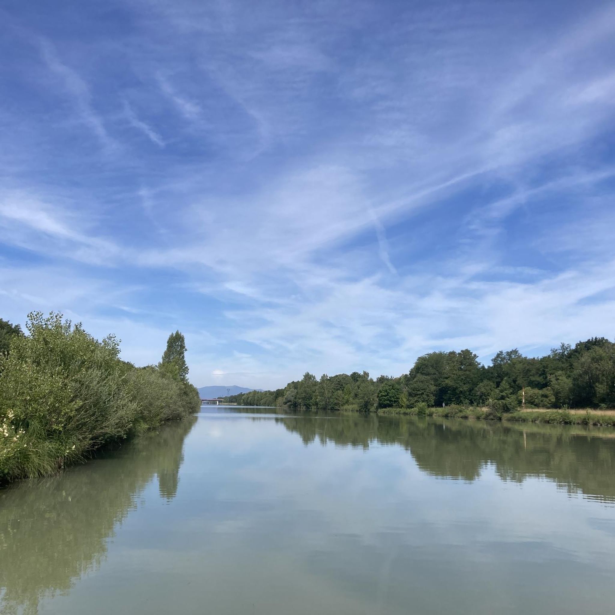
Beautiful view of the river Ill in Sundhoffen.
0
0
자우샤임 주변에서 가장 인기 있는 명소


더 살펴보기
다른 지역의 최고의 그래블 라이딩를 살펴보세요.
