아길라르 드 캄푸 주변 최고의 그래블 라이딩 코스
4.5
(4)
62
자전거 타는 사람
11
라이딩
아길라르 드 캄푸 주변의 엄선된 그래블 라이딩 코스에서 거친 라이딩의 매력을 경험하세요. 도전정신을 자극하는 업힐 코스이든 아름다운 풍경 트레일이든, 아길라르 드 캄푸 주변 최고의 그래블 라이딩 경로를 살펴보세요.
마지막 업데이트: 11월 2, 2026
5.0
(1)
11
자전거 타는 사람
76.9km
05:38
1,030m
1,030m
어려운 자갈길 타기. 우수한 체력 필요. 대부분 포장된 노면.
5.0
(1)
11
자전거 타는 사람
72.3km
05:20
1,010m
1,010m
어려운 자갈길 타기. 우수한 체력 필요. 대부분 포장된 노면.

4.0
(1)
6
자전거 타는 사람
42.3km
03:10
560m
560m
어려운 자갈길 타기. 우수한 체력 필요. 대부분 포장된 노면.
3
자전거 타는 사람
30.8km
02:15
220m
220m
어려운 자갈길 타기. 좋은 체력 필요. 투어 중 자전거를 끌고 가야 하는 구간이 있을 수 있음.
8
자전거 타는 사람
47.6km
03:06
660m
660m
어려운 자갈길 타기. 우수한 체력 필요. 대부분 포장된 노면.
더 다양한 경로와 다른 탐험가들의 추천을 살펴보세요.
이미 komoot 계정이 있나요?
투어 추천은 다른 사람들이 komoot에서 완료한 수천 개의 활동을 바탕으로 구성되어 있습니다.
오늘 무료 계정으로 시작하세요
다음 모험이 기다리고 있어요.
아길라르 드 캄푸 주변의 다른 모험

커뮤니티 팁

팔렌시아 산맥 입구에 모든 편의 시설을 갖춘 마을. 문화 및 자연적으로 볼거리와 즐길 거리가 많습니다.
0
0

세르베라 데 피수에르가(Cervera de Pisuerga)의 아름다운 목조 현수교.
0
0

Rubagón 강을 건너는 작은 다리입니다. 한쪽에는 정보 패널이 있는 공터가 있습니다. 경로상의 짧은 휴식을 위한 완벽한 장소입니다.
0
0

The amount of water this river carries is always surprising.
1
0

Stage 2. Cervera de Pisuerga/Alar del Rey 72 kilometers. 920 positive meters. The second day has common sections with the previous stage and a small road connection. The first kilometers are known and it is a mental help to overcome the Peña Umoma slope from Vado in the opposite direction. The exit from Cervera through the old town is comfortable and pleasant. And almost without pedaling we enter Vado, connect with the red milestones and begin the cycling adventure through the fields of the Valdeados plain. In reality, only the last kilometer is hard, we overcome the panoramic hill and stop at the La Estación viewpoint, always contemplating the magnificent rocky backdrop of the Curavacas peak in the background. In Dehesa de Montejo, the Perazancas de Ojeda alternative detour leaves and a new route begins through the towns and rural landscapes of La Ojeda. The rural road has a good surface and without stopping we reach Colmenares de Ojeda. The entrance to the church of San Fructuoso is fantastic, it has three arches with a cross vault and a Romanesque portico. The jewel is a baptismal font from the 12th century kept inside, one of the best of the Palencia Romanesque, it is a sandstone rock font carved with high reliefs of religious scenes and ceremonies. The towns are small, people barely appear on the streets, and it is surprising to find so much artistic wealth in each rural center. The path does not have slopes as hard as the previous day, it is still a constant ups and downs through holm oak mountains, fallow lands and agricultural meadows but without slopes of five per hour. The valley of the Fuente de los Moros stream is delicious, the bicycles glide over the crops to Pisón de Ojeda. The church of San Pelayo dominates the town's plain from a hill, preserving the Romanesque apse from the 13th century. And then comes the hardest slope of the day, although it has a lot of uncomfortable gravel, it is short and immediately a new plateau appears with views and the descent to Montoto de Ojeda. The church is also on the hill of the town and we went straight up, shortcutting the milestones of the Natural Trail. The best part of the temple is the apse, from the 12th century, inside it has capitals and wall paintings. The portico is Cistercian from the 13th century, it is a temple that has more content than meets the eye. The route continues along the gravel road, jumps over the mountain through a plain of crops and descends to Perazancas de Ojeda. The parish church has a beautiful Romanesque doorway with three archivolts on carved capitals, from the 12th century. And at the exit of the town is the hermitage of San Pelayo, with interesting mural paintings from the 12th century and a portico with a semicircular arch on Mozarabic capitals, a valuable artistic complex declared a National Monument in 1931. The red milestone posts continue towards the connection with the Coal Route of Cok and Cozuelos de Ojeda, returning directly towards Alar del Rey. The route leaves the Nature Trail for now and continues along the road towards Olmos de Ojeda. Before arriving, pass by the Monastery of Santa Eufemia, former residence of kings, princes and nobles, it is one of the most valuable monumental complexes of the Palencia Romanesque, it was declared a Historic-Artistic Monument in 1931 and can be visited on weekends. The price of the visit is four euros per person. In Olmos de Ojeda the red indications appear again and shortly after the Payo de Ojeda variant appears. The town is on a hill along a lonely rural road of bowling alleys and boulders. The church is outside the hamlet, it has a walk of acacias and a beautiful doorway composed of a pointed arch and an archivolt, inside it houses a Romanesque baptismal font with carved ornaments. The route returns along the same path to the Olmos de Ojeda intersection and turns to the right to visit the last enclaves of the gravel journey through the Romanesque of Palencia. The first town is Moarves de Ojeda, which has one of the most precious jewels of the Palencia rural Romanesque in the façade of the church of San Juan Bautista, declared a Historic-Artistic Monument in 1931. The entrance has an elegant portico with five semicircular archivolts on capitals decorated with great detail and artistic level. The cake goes to the upper frieze, presided over by a Pantocrator surrounded by the tetramorphs and the twelve apostles, a marvel of Romanesque sculpture that especially attracts attention being in a small town in the Palencia wasteland. The attraction may also be due to the reddish color of the stone or the careful details of the sculptures. Inside it has a Romanesque baptismal font.
0
0
The visit to the neighborhoods of San Pedro and Santa María is worth it for the heritage and landscapes but it has a price on the legs, you have to climb Monte de la Ruya again to connect with the main itinerary and overcome the infernal slope that We saw before the detour, which also has a trap because after a short descent there is another similar section to a hill, the prize is fantastic views of the Palentina Mountain. The road enters the meadows and mountains of La Ojeda again and there is a fun stretch, climbing the GPS average for several kilometers until Dehesa de Montejo, where the detour for the Perazancas variant comes out on the left. The route continues to the right, crosses the Cervera de Pisuerga road and climbs the slope of Peña Umoma to a hill that finally marks the entrance to the Pisuerga valley through the beautiful valley of Valdeados. The descent ends in Vado, it is noon, time for a snack but there is no bar or grocery store. Cervera is three kilometers away but it is the place where we plan to finish the stage and we decided to continue and spend the afternoon with the energy bars. The path continues along the charming bank of the Pisuerga River, favorable terrain, river landscape, good climate and change of environment. On the route there are yellow arrows of the Camino Olvidado or Camino de la Montaña, a Camino de Santiago very popular in the 12th and 13th centuries, starting from Bilbao, running along the southern slope of the Cantabrian Mountains and connecting with the Camino Francés in El Bierzo. In Barcenilla de Pisuerga, the milestones of the Natural Trail cross the Pisuerga River via a pedestrian walkway and change course, beginning the climb through the Mudá valley until the connection with the GR-1. The climb begins in Rueda de Pisuerga, the route passes by the church of San Cristóbal, which preserves the Romanesque doorway from the 12th century, and continues through Vallespinoso de Cervera to San Cebrián de Mudá, a town with a mining tradition and the last town on the Natural Trail of the Palentine Romanesque. In the square there are some wagons from the mining era, when the Cok Coal Route was the main economic channel of the valley. The church of San Cornelio and San Cipriano is on a hill, is Romanesque from the 13th century and was declared a Site of Cultural Interest in 1993. The climb to the Historical Trail passes through the European Bison Interpretation Center, runs through a mountain oak grove and ends at a small hill below the imposing Valdecebollas (2,143 m), entrance to the La Pernía valley and the upper Pisuerga. The views are stunning. The end of the stage is Cervera de Pisuerga, with accommodation, camping and complete services. The final stretch to complete a great day of gravel cycling continues through the Castillería valley and at the Estalaya crossroads, where the climb to the Verdeña Fossil Forest is, a path leaves on the left that leads to Vañes off the road. In this section it is important to have the track downloaded because there are no milestones on the route. You must continue along the road for about 500 meters towards Cervera and at the fork of the road take a detour to the left towards Rabanal de los Caballeros and Valdasornín. The rest of the way follows the road that goes down to the urban complex of Cervera de Pisuerga.
0
0

Puente Mayor over the Pisuerga River is of medieval origin. We can see the small islands in the river and the castle hill.
2
0

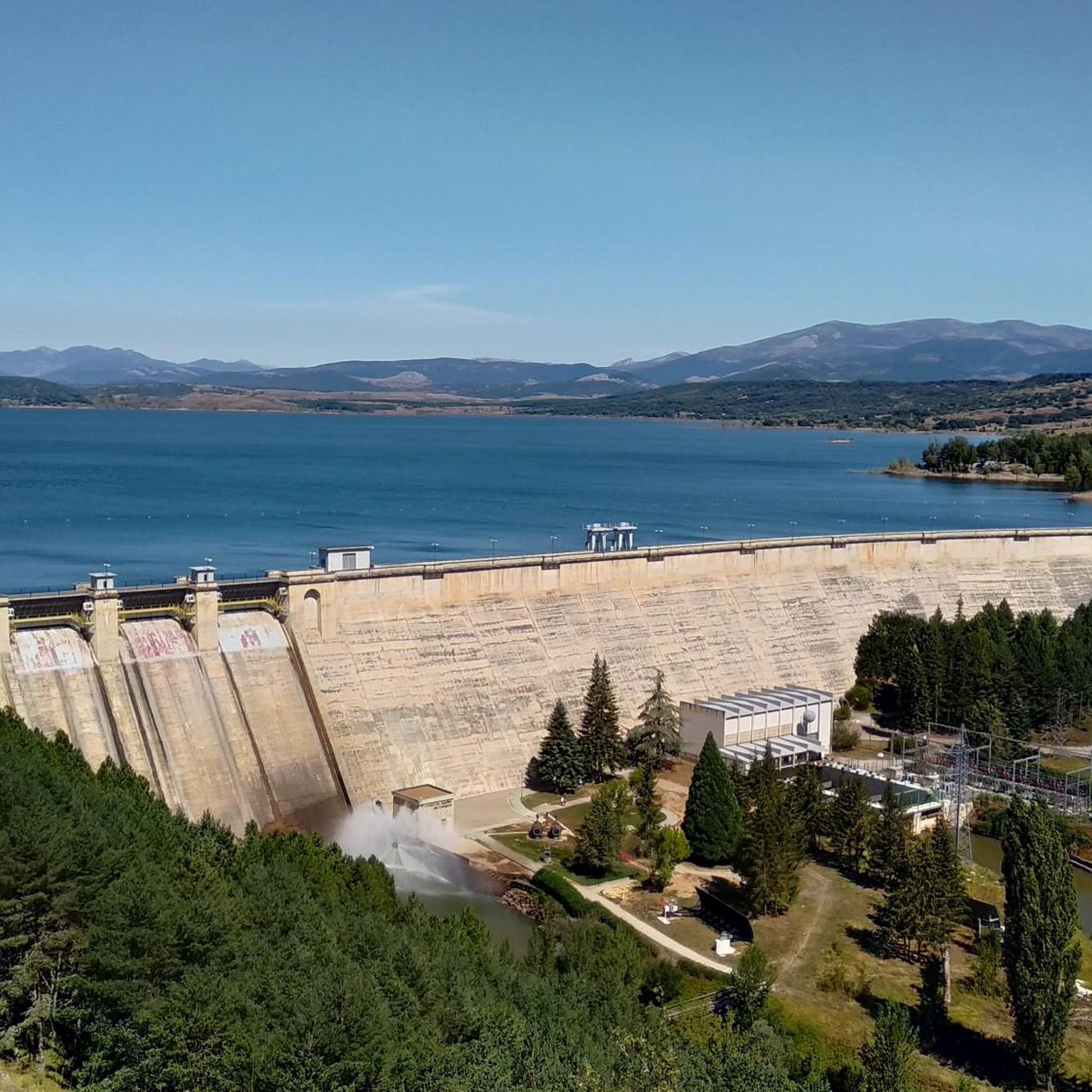
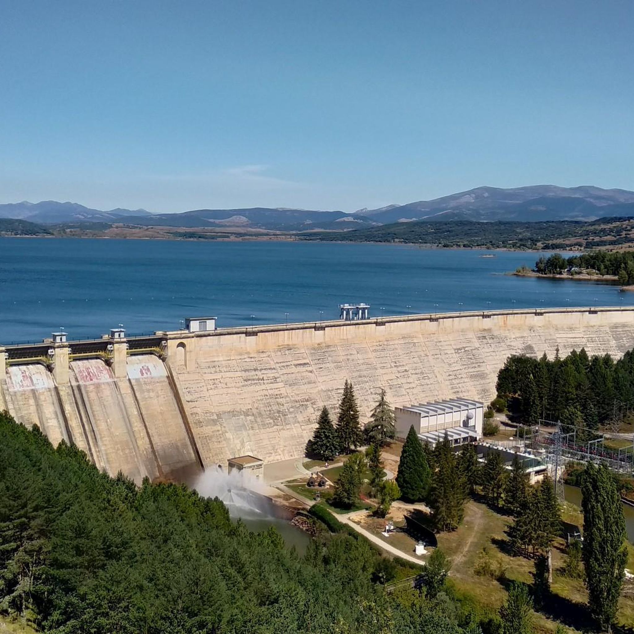
At the foot of Monte de la Ruya, when the hardest slope of the stage appears in front of you, the detour to Barrio de San Pedro and Barrio de Santa María, two districts of Aguilar de Campoo, comes out on the right. The descent is fantastic with views of the large lake of the Aguilar reservoir. First is Barrio de San Pedro, with a very welcoming ambushed entrance and the church of San Pedro, Romanesque from the 13th century with many later additions. And then the hermitage of Santa Eulalia, solitary next to the road, another well-preserved historical-artistic monument of the rural Romanesque of Palencia. In the town, the church of the Assumption also preserves parts of Romanesque origin.
0
0
아길라르 드 캄푸 주변에서 가장 인기 있는 명소


더 살펴보기
다른 지역의 최고의 그래블 라이딩를 살펴보세요.
