딘 프라이어 주변 최고의 그래블 라이딩 코스
3.0
(2)
18
자전거 타는 사람
3
라이딩
딘 프라이어 주변의 엄선된 그래블 라이딩 코스에서 거친 라이딩의 매력을 경험하세요. 도전정신을 자극하는 업힐 코스이든 아름다운 풍경 트레일이든, 딘 프라이어 주변 최고의 그래블 라이딩 경로를 살펴보세요.
마지막 업데이트: 8월 26, 2026
5.0
(1)
6
자전거 타는 사람
26.5km
02:14
660m
660m
어려운 자갈길 타기. 우수한 체력 필요. 대부분 포장된 지면. 실력과 관계없이 누구나 갈 수 있음.
12.6km
00:53
210m
210m
어려운 자갈길 타기. 좋은 체력 필요. 투어 중 자전거를 끌고 가야 하는 구간이 있을 수 있음.

무료 회원 가입
3
자전거 타는 사람
14.6km
01:03
290m
290m
보통 자갈길 타기. 좋은 체력 필요. 대부분 포장된 지면. 실력과 관계없이 누구나 갈 수 있음.
투어 추천은 다른 사람들이 komoot에서 완료한 수천 개의 활동을 바탕으로 구성되어 있습니다.
오늘 무료 계정으로 시작하세요
다음 모험이 기다리고 있어요.
로그인 또는 가입하기
딘 프라이어 주변의 다른 모험

커뮤니티 팁

The East Dart starts high on Dartmoor, near Whitehorse Hill and flows down to join the West Dart at Dartmeet. This stretch south of Bellever Bridge is pretty and less moorland and bleak than some areas, it's also a bit more open than the tree lined stretches downstream. The river is lovely and clean, having only flowed across the moor.
0
0


There are miles of wide, rolling and generally quite smooth fire roads in Bellever Forest to explore. These are bordered by mossy green banks and evergreen plantations, so good for mushroom hunting in the autumn! If you're planning a short walk, you can find good facilities nearby in Postbridge at the Dartmoor National Park Visitor Centre, including parking, toilets, a shop and water refills. There's also a Forestry Commission car park in Bellever.
1
0
If you're following the Bellever Miles Without Stiles tramper route, this is the singletrack section of the trail. It also makes up part of the Lych Way, an ancient route which parishioners would take to reach their local church for burials and other services, sometimes travelling up to 12 miles (19 km) over rough moorland.
0
0
This traffic-free road is a really scenic way to get up onto the moors from Shipley Bridge near South Brent. It's technically a bridleway, through the vehicle-wide paved road makes for an easy, gentle climb. Look out though, as the uneven road is starting to crumble in some place. It's a really beautiful pedal as you ride alongside the gushing waterfalls of the River Avon and between bracken, crossing the water a few times as you head up towards the Avon Dam and reservoir.
0
0

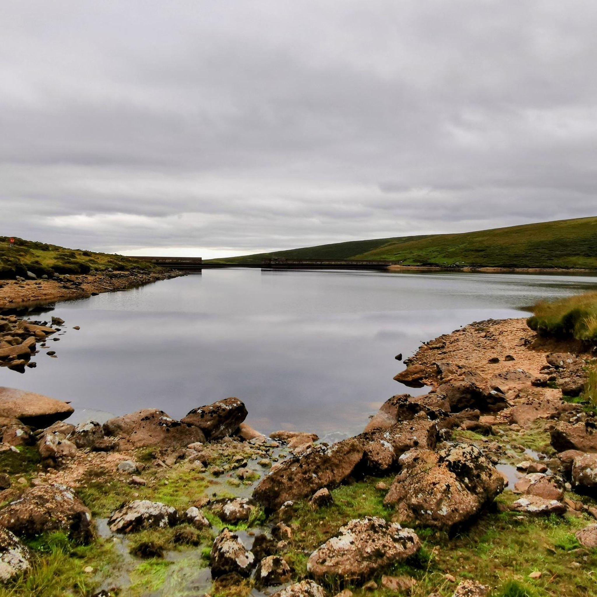
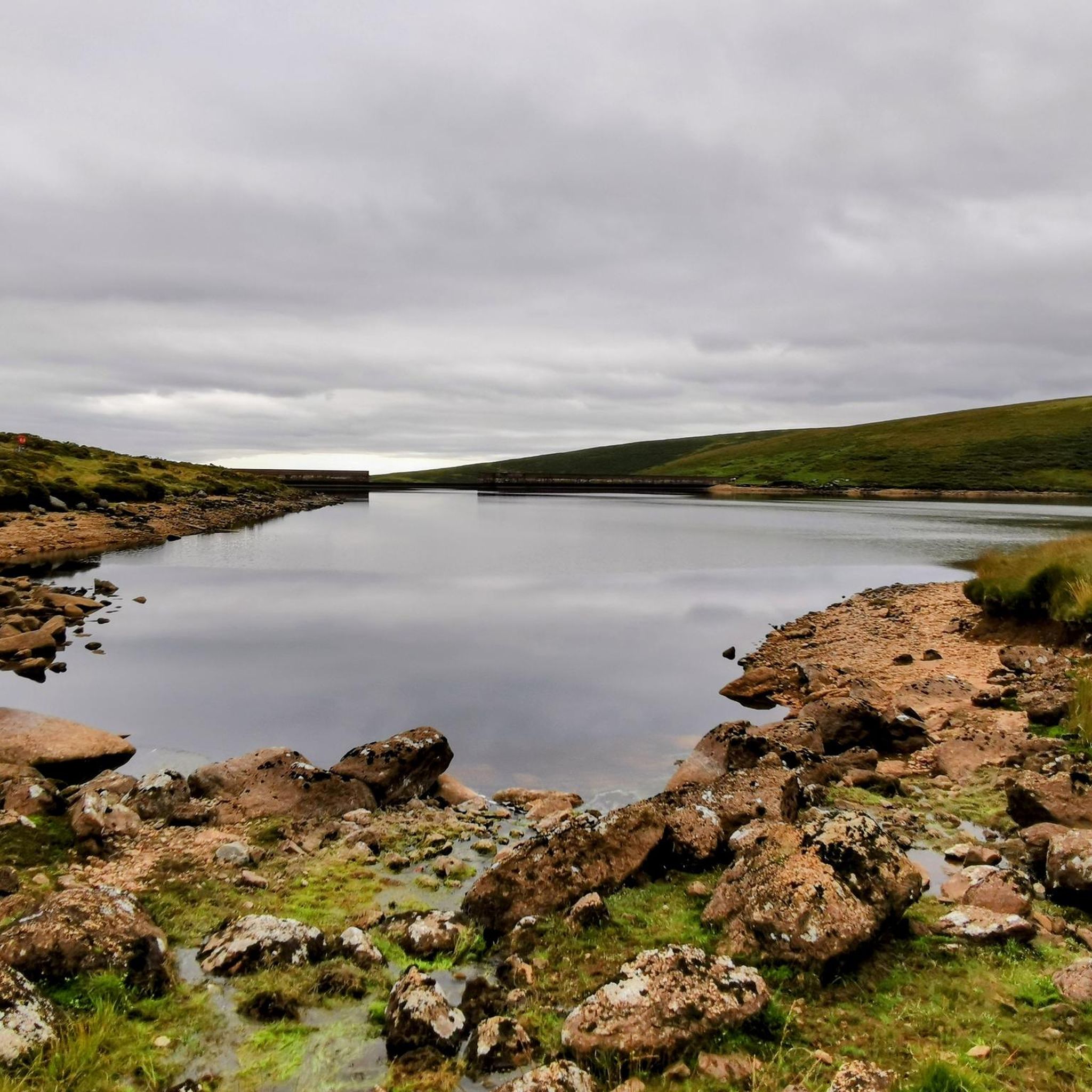
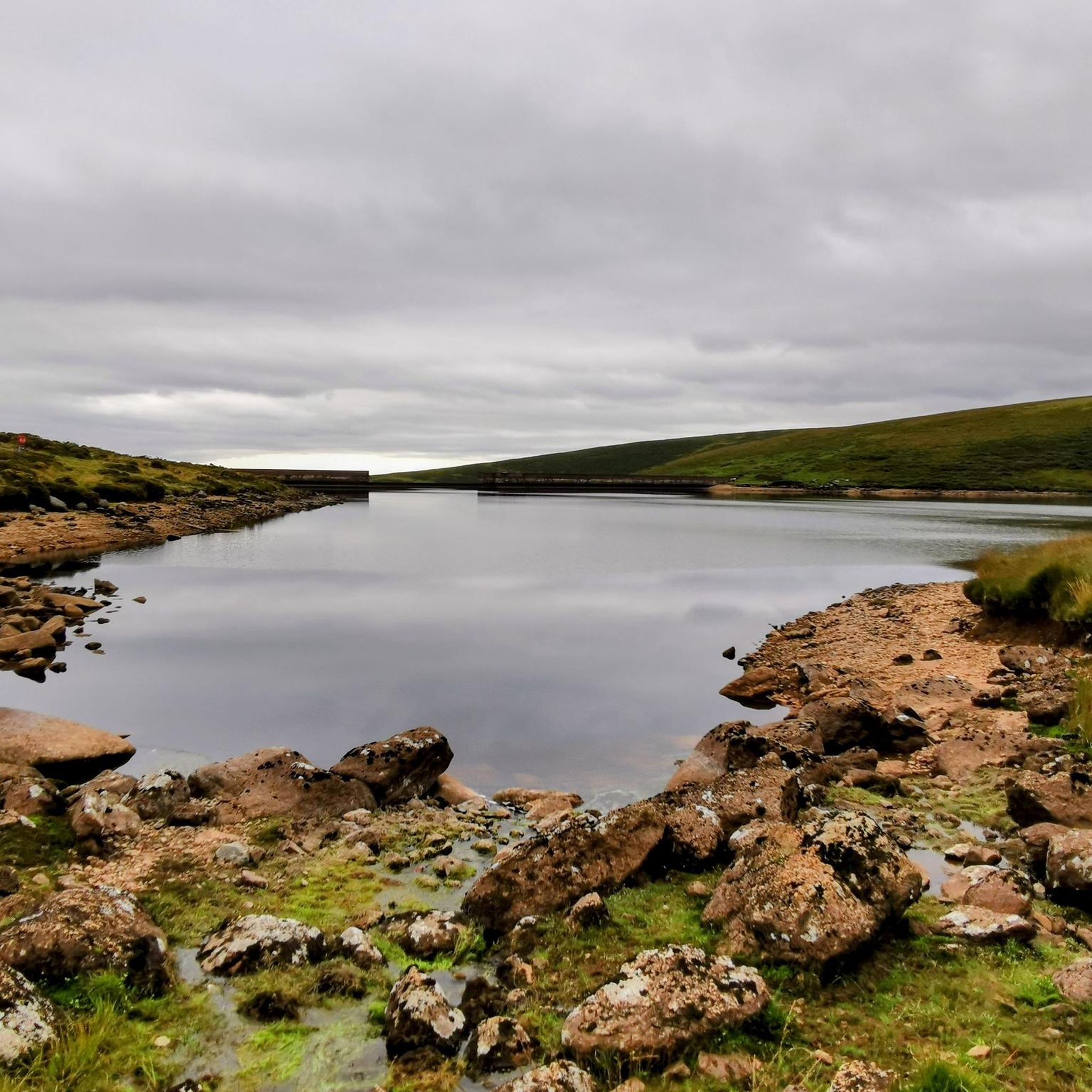
The Avon Dam was built in 1957 to supply water to the coastal towns of South Devon. You can ride up the access road to the base of the dam but will have to leave your bike or push up to see the reservoir.
0
0

딘 프라이어 주변에서 가장 인기 있는 경로
딘 프라이어 주변에서 가장 인기 있는 명소


더 살펴보기
다른 지역의 최고의 그래블 라이딩를 살펴보세요.
