마이사나 주변 최고의 그래블 라이딩 코스
20
자전거 타는 사람
2
라이딩
그래블 바이크를 타고 이탈리아 발 디 바라(Val di Vara) 지역의 마이사나(Maissana) 주변을 달리는 것은 산악 지형과 울창한 식생이 특징인 다양한 지형을 제공합니다. 이 지역은 아스팔트 도로와 비포장 도로가 혼합되어 있어 자전거 타기에 다양한 환경을 제공합니다. 라이더들은 도전적인 오르막, 넓은 목초지, 울창한 숲을 만나게 되며, 종종 숲이 우거진 계곡을 따라 바라 강(Vara River)을 달리게 됩니다. 이 지역은 생태 관광에 대한 헌신으로 유명하며, 탐험을 위한 깨끗한 자연 환경을 보장합니다.
마이사나 주변 최고의 그래블 바이크 코스
- 가장 인기 있는 그래블 바이크 코스는 카세…
마지막 업데이트: 10월 7, 2026
6
자전거 타는 사람
76.2km
06:59
2,470m
2,470m
어려운 자갈길 타기. 우수한 체력 필요. 대부분 포장된 지면. 실력과 관계없이 누구나 갈 수 있음.
2
자전거 타는 사람
71.4km
06:01
2,040m
2,040m
어려운 자갈길 타기. 우수한 체력 필요. 대부분 포장된 지면. 실력과 관계없이 누구나 갈 수 있음.

6
자전거 타는 사람
54.5km
04:08
1,370m
1,370m
어려운 자갈길 타기. 우수한 체력 필요. 대부분 포장된 지면. 실력과 관계없이 누구나 갈 수 있음.
투어 추천은 다른 사람들이 komoot에서 완료한 수천 개의 활동을 바탕으로 구성되어 있습니다.
오늘 무료 계정으로 시작하세요
다음 모험이 기다리고 있어요.
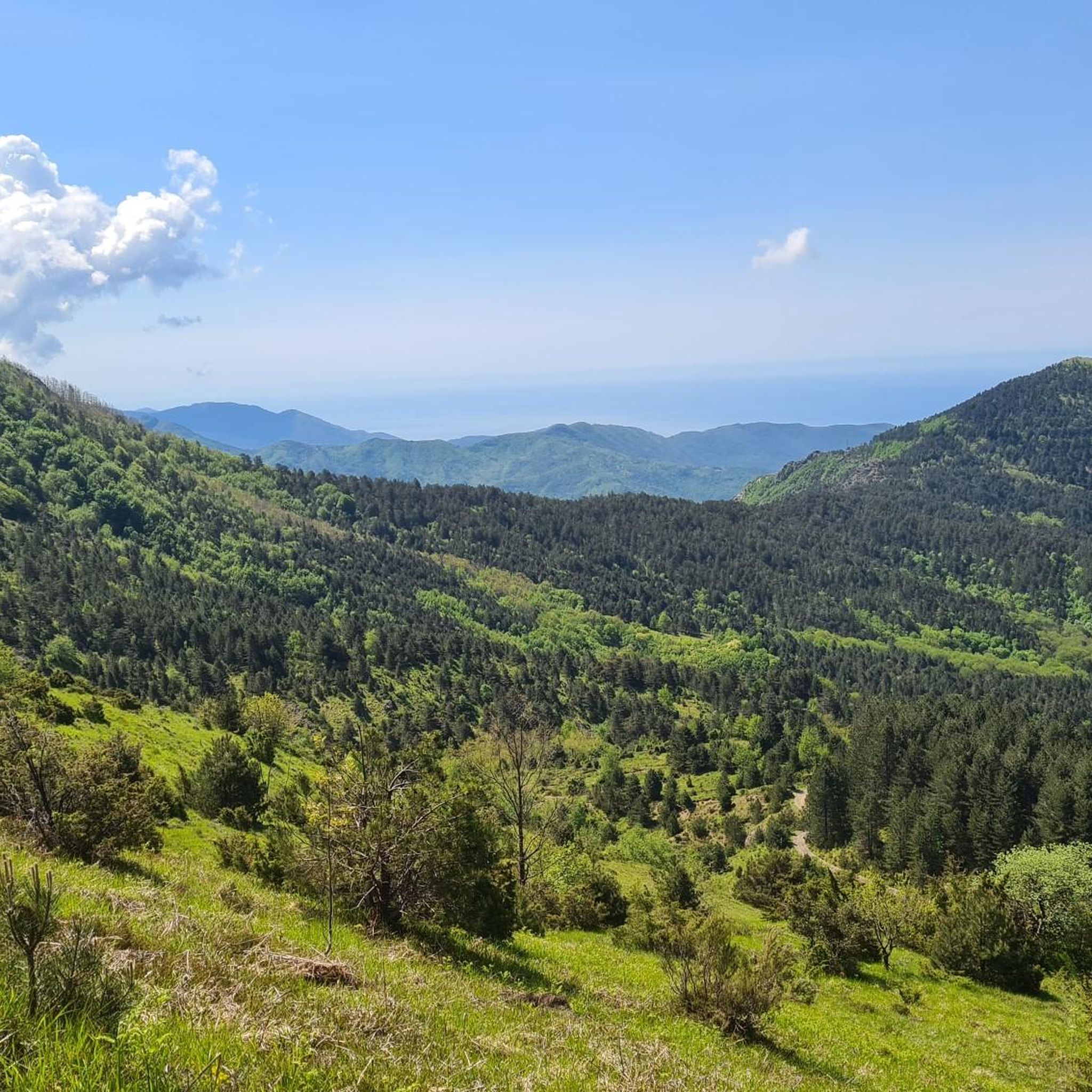
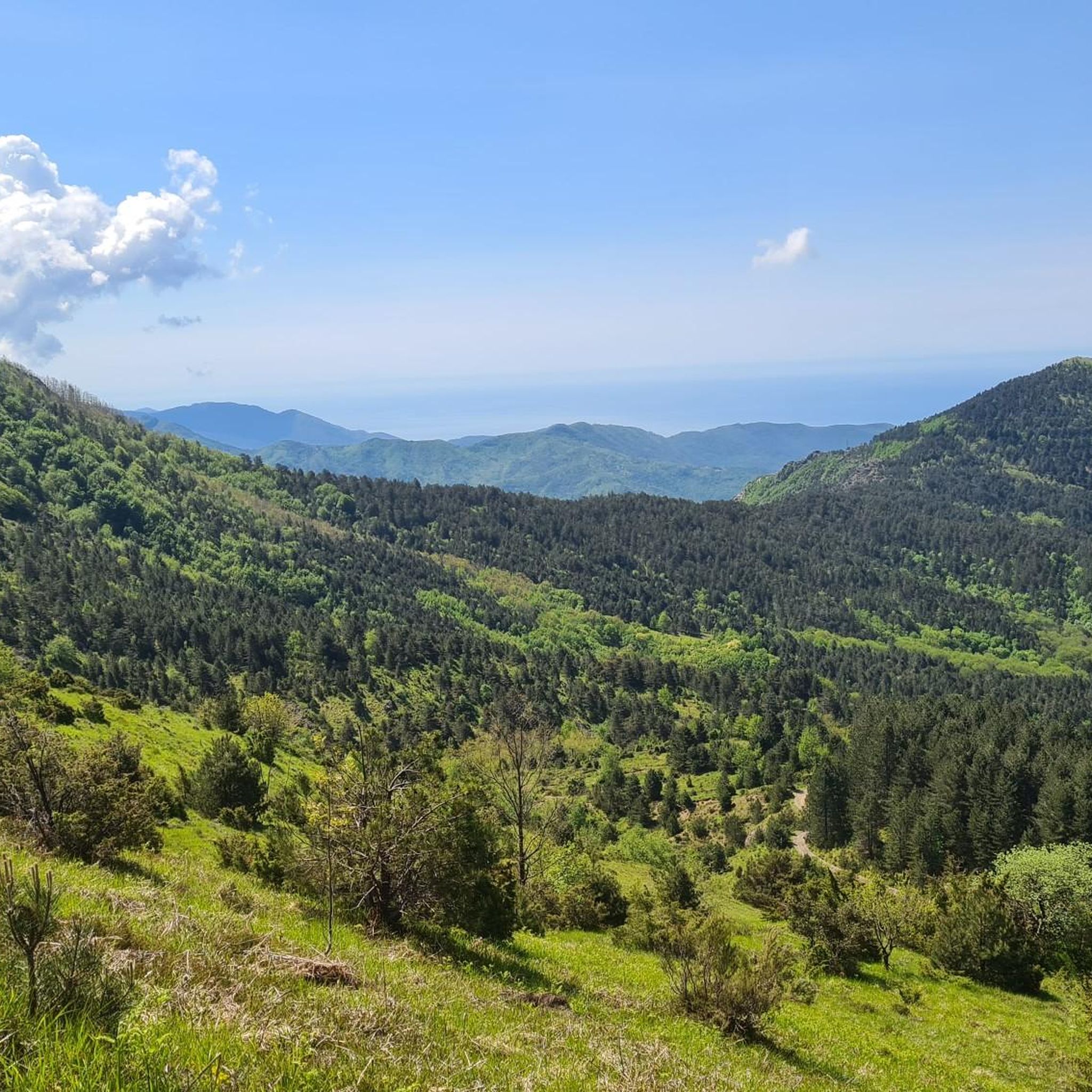
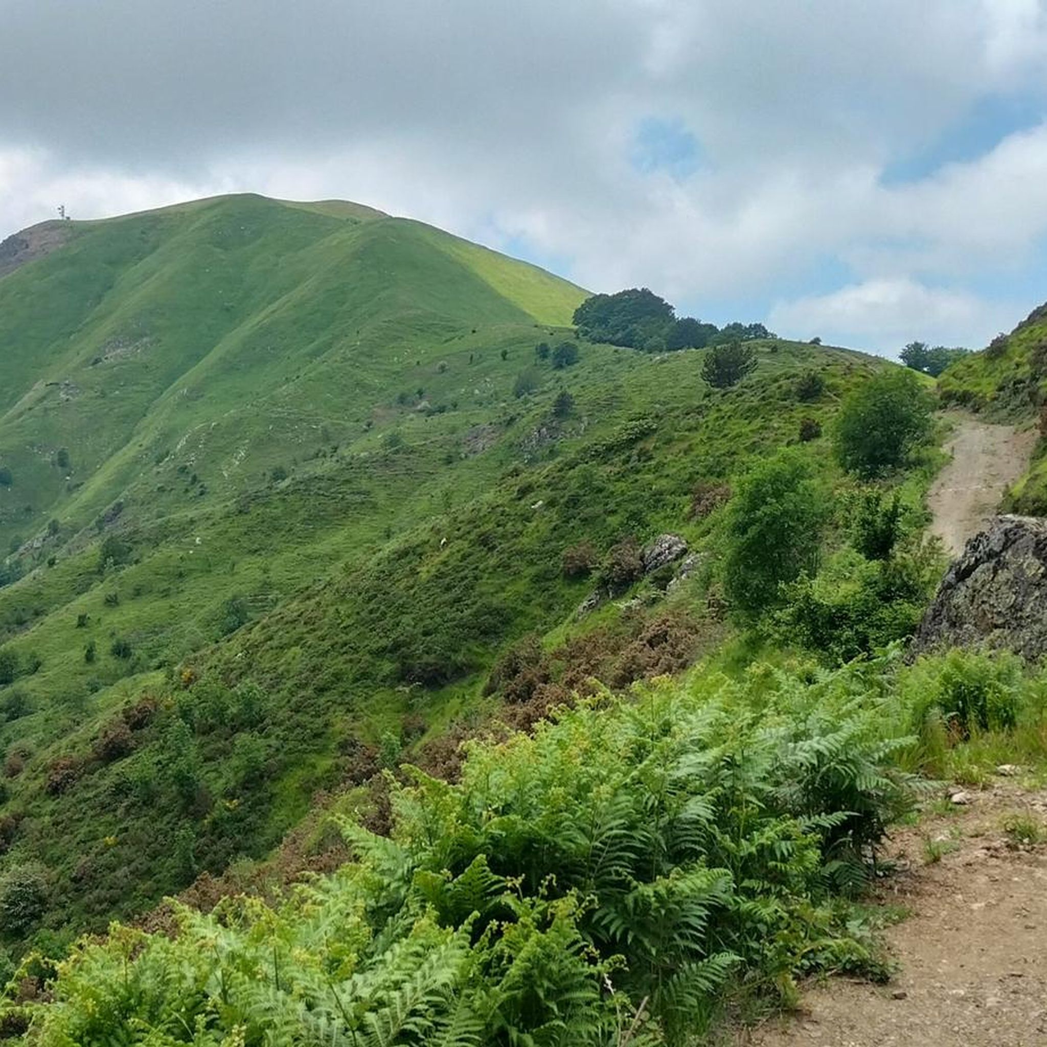
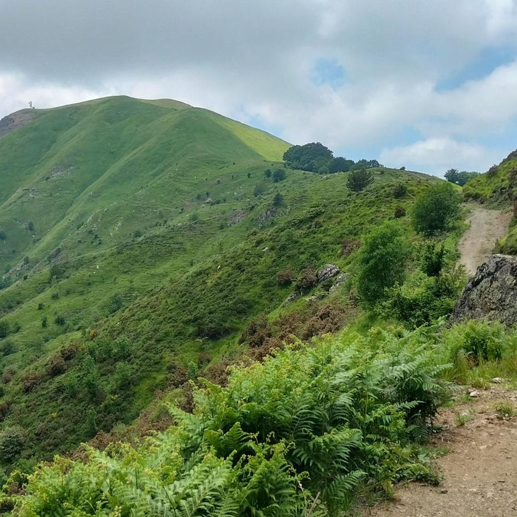
커뮤니티 팁

산길을 따라 표지판이 잘 되어 있습니다.
1
0
Bel valico dell'Appennino Ligure situato a 1.468 metri. Punto strategico che offre varie alternative per iniziare una passeggiata o una lunga escursione.
0
0
오래된 막사를 복구하여 탄생한 이곳은 식사와 숙박이 모두 가능한 멋진 휴식처입니다. 위치가 훌륭하여 이 지역을 방문할 때 꼭 들르는 곳이 되었습니다.
1
0


Done in the last few days... no problem with the mountain bike, no serious problems... the road has worsened since last year... nice anyway... other routes from the pass on the left towards the Val del Gromolo... hills on the right... another in Maissana and in the center continuing spectacularly towards Monte Porcile and then descending towards the Passo del Biscia... all beautiful with good preparation... bye
0
0

The Rifugio Casermette del Penna (1,400 m) is located within the Aveto Park, in a beautiful beech forest at the foot of Mount Penna, where the Forestry Corps barracks once stood. Renovated sustainably using local wood, photovoltaic panels, and a biomass boiler, the refuge offers 25 beds in both rooms and dormitories, as well as home-cooked meals prepared using local produce. Today, it is a popular destination for hikers, families, and groups, thanks in part to the large green lawn in front of the building: in summer, it's ideal for relaxing in the sun, picnicking, or letting children play freely. The location is perfect for exploring the trails of Mount Penna, the Lago Penna loop, the Pennino forests, or tackling more technical climbs to the rocky peaks. In winter, it's an ideal base for snowshoeing and cross-country skiing.
1
0
The Taro River's sources are located on the slopes of Mount Penna, at approximately 1,500 meters above sea level, in the heart of the Ligurian Apennines, within the Taro and Ceno Valleys Park. Here, in a cool beech forest, several springs merge to form the river's first rivulets. The Taro River originates as an Apennine torrent and flows for over 120 km toward the Po River, crossing valleys, plains, and areas of great natural beauty. Its course is known for its high biodiversity and the presence of well-preserved river environments, protected by protected areas and nature reserves.
1
0

Here the dirt road runs along the ridge of the mountains between the Vara Valley and the Magra Valley
0
0
마이사나 주변에서 가장 인기 있는 명소


더 살펴보기
다른 지역의 최고의 그래블 라이딩를 살펴보세요.
