리딩탈 자연공원 최고의 그래블 라이딩 코스
4.4
(7)
34
자전거 타는 사람
1
라이딩
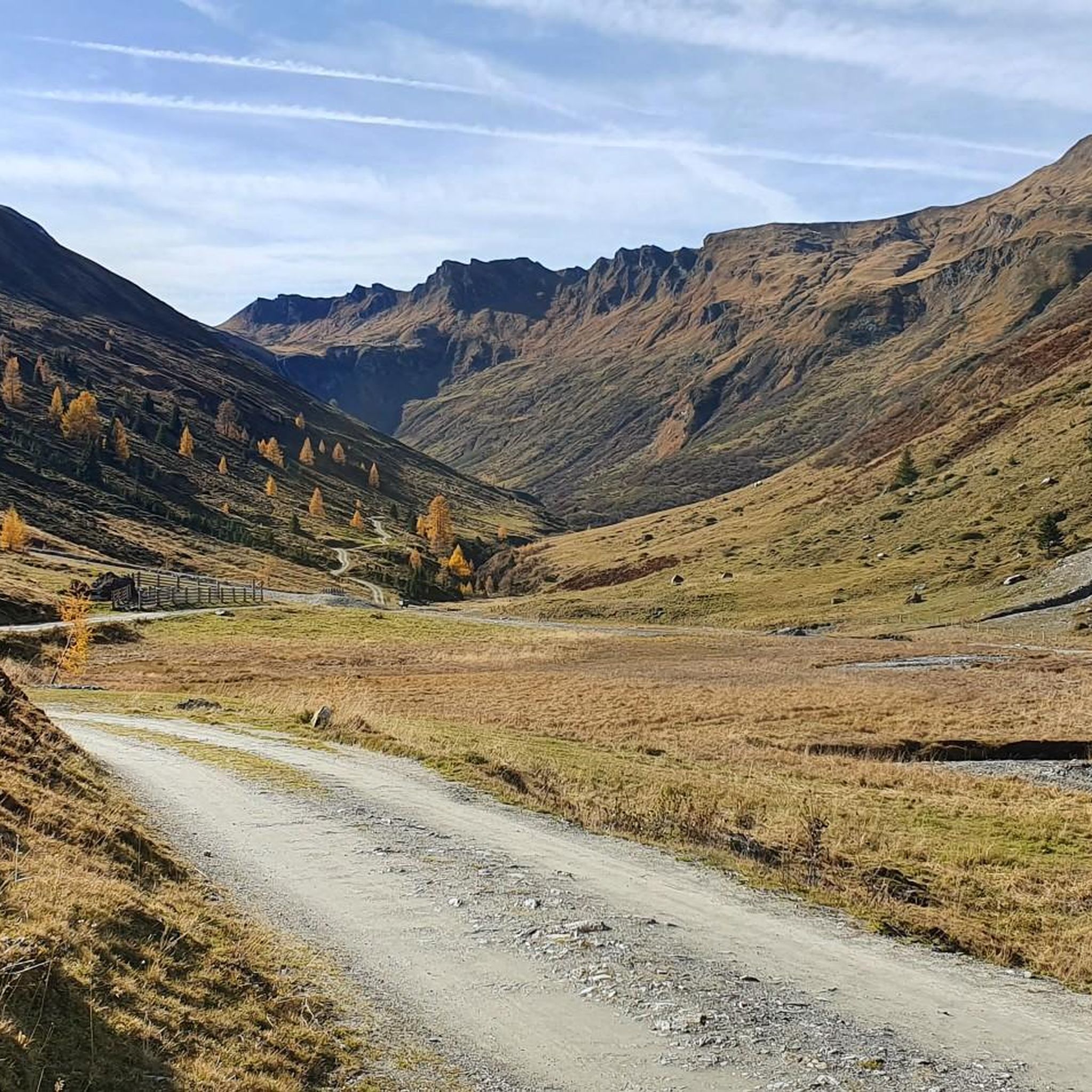
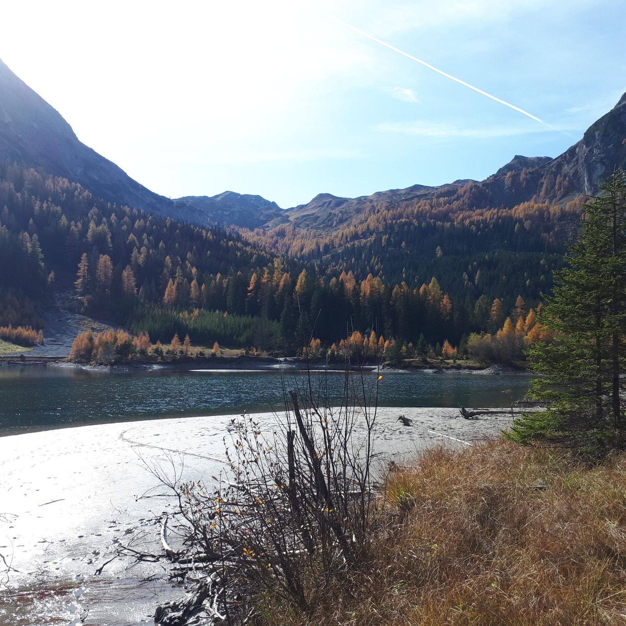
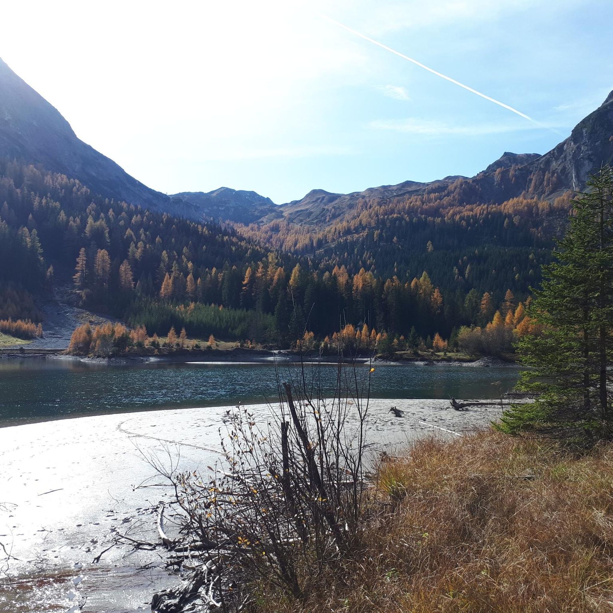
라이딩탈 자연공원(Riedingtal Nature Park)에서의 그래블 바이크 라이딩은 잘츠부르크 루נג가우(Salzburg Lungau) 지역 내에서 다양한 풍경과 다채로운 지형을 제공합니다. 이 공원은 야생의 권곡, 높은 봉우리, 완만한 계곡과 전통적으로 관리되는 고산 목초지를 특징으로 하는 알프스 풍경을 자랑합니다. 이 지역은 수정처럼 맑은 시냇물과 40개 이상의 자연 호수 및 연못으로 정의되는 순수한 자연과 문화 경관의 조화를 보여줍니다. 지질학적으로 이 공원은 백운암, 대리암, 슬레이트 암석 지형을 포함하고 있어 그래블 바이크 트레일에 다양한 표면을 제공합니다.
라이딩탈 자연공원 최고의 그래블 바이크 트레일
- 가장 인기 있는 그래블 바이크 트레일은…
마지막 업데이트: 9월 8, 2026
5.0
(3)
9
자전거 타는 사람
32.8km
02:47
560m
560m
어려운 자갈길 타기. 우수한 체력 필요. 투어 중 자전거를 끌고 가야 하는 구간이 있을 수 있음.
5.0
(1)
9
자전거 타는 사람
21.0km
01:40
640m
640m
어려운 자갈길 타기. 우수한 체력 필요. 대부분 포장된 지면. 실력과 관계없이 누구나 갈 수 있음.

4.5
(2)
5
자전거 타는 사람
18.2km
01:35
620m
620m
어려운 자갈길 타기. 우수한 체력 필요. 대부분 포장된 지면. 실력과 관계없이 누구나 갈 수 있음.
3.0
(1)
11
자전거 타는 사람
24.8km
01:58
730m
730m
어려운 자갈길 타기. 우수한 체력 필요. 대부분 포장된 지면. 실력과 관계없이 누구나 갈 수 있음.
투어 추천은 다른 사람들이 komoot에서 완료한 수천 개의 활동을 바탕으로 구성되어 있습니다.
오늘 무료 계정으로 시작하세요
다음 모험이 기다리고 있어요.
리딩탈 자연공원 주변 인기 장소
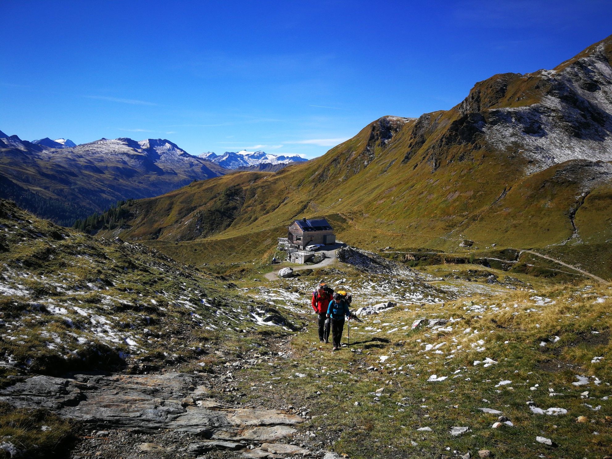
Lower Austria to Carinthia — our favourite huts in Austria
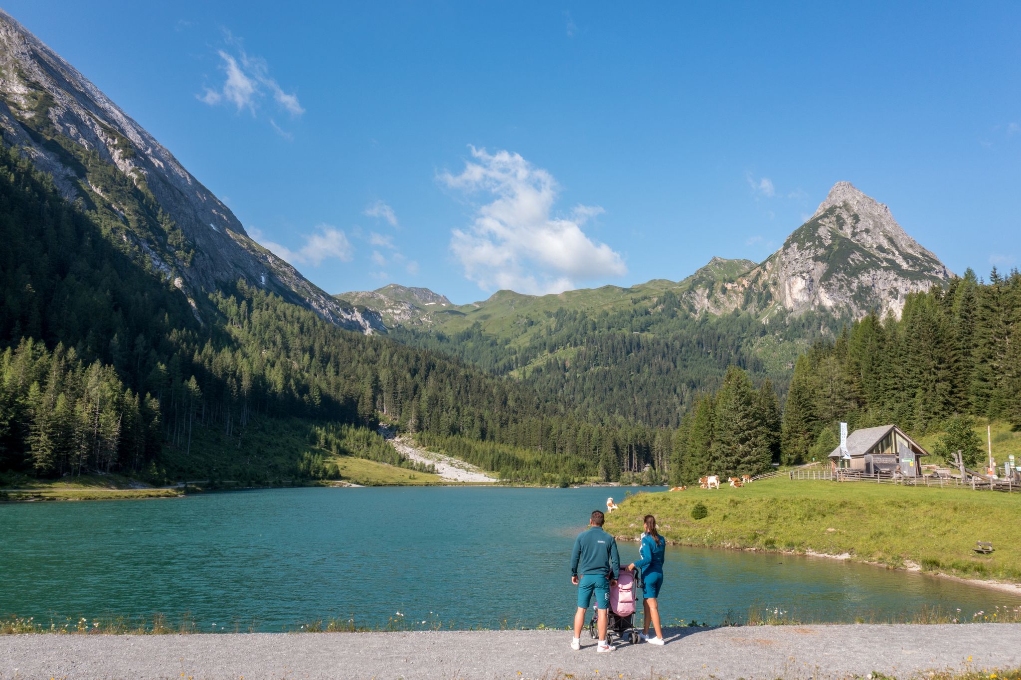
Erlebnisreich wandern - Die 11 schönsten Themenwege im Salzburger Lungau
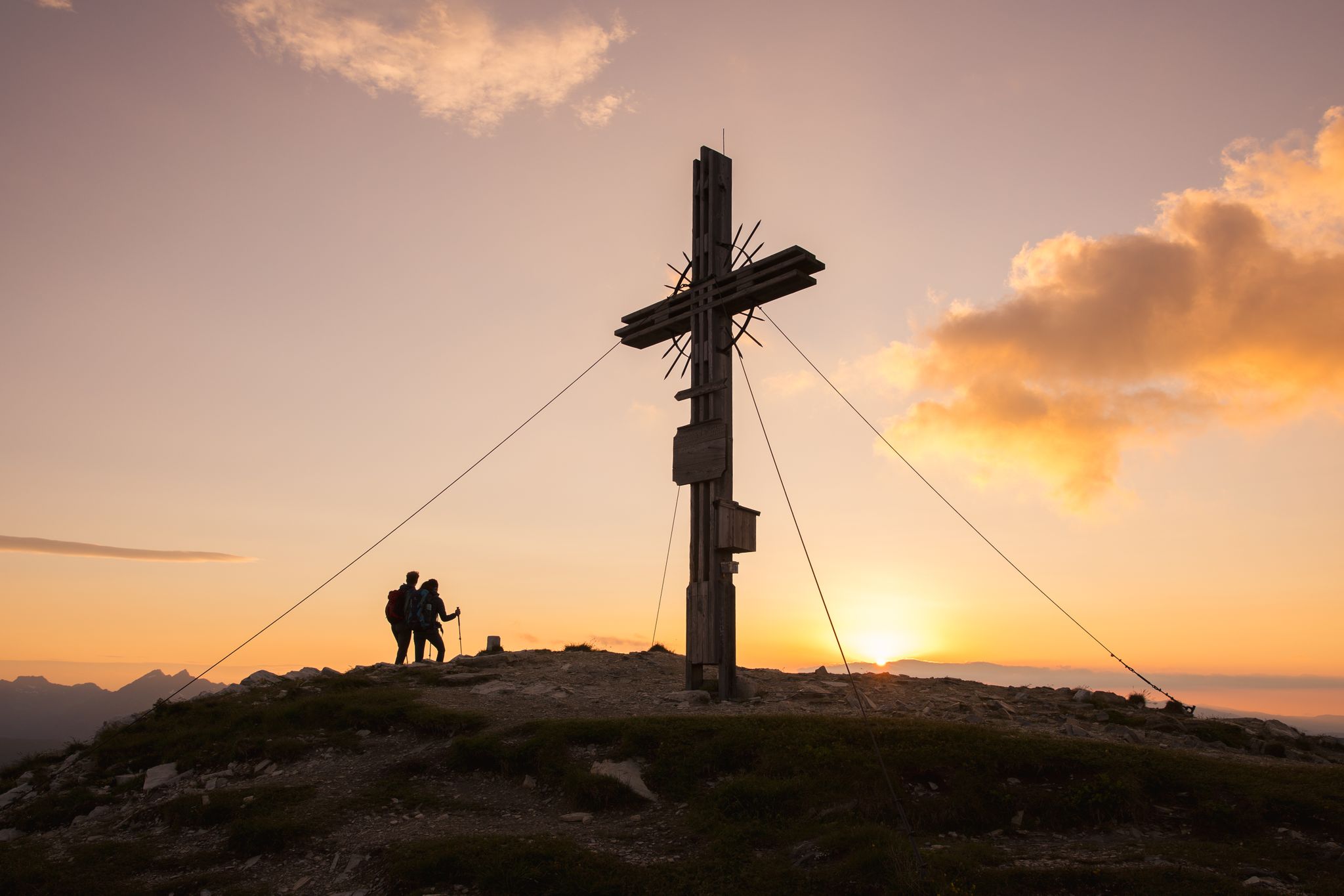
Zwischen Himmel und Erde - Gipfelstürmen im Salzburger Lungau
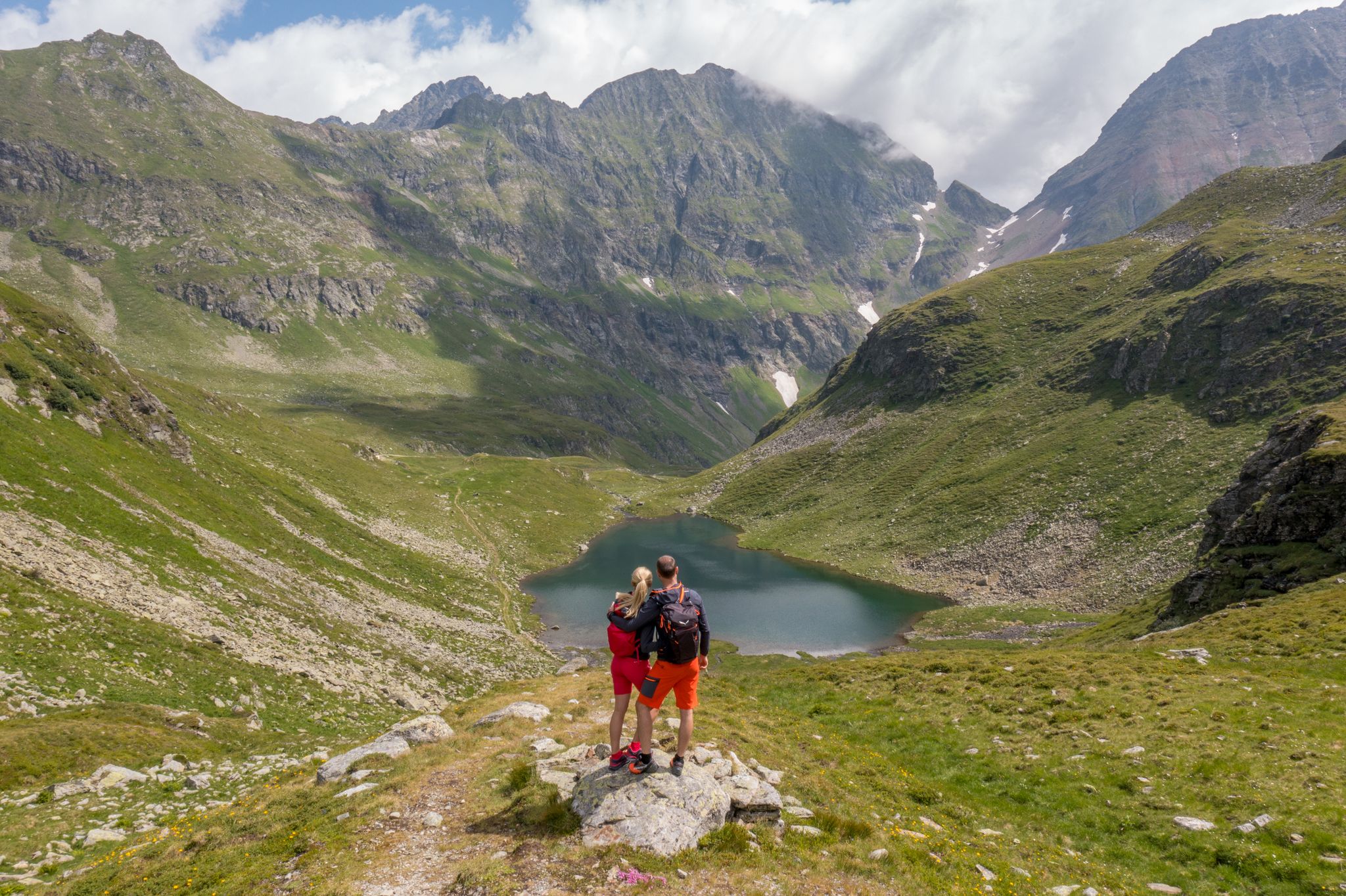
Wanderung ins Blaue - Bergseen sammeln im Salzburger Lungau
Natur erleben: Dein Wanderurlaub am Bauernhof
리딩탈 자연공원 하이킹
리딩탈 자연공원 MTB 트레일
리딩탈 자연공원 사이클링
리딩탈 자연공원 로드 사이클링 경로

리딩탈 자연공원 등산
리딩탈 자연공원의 다른 모험


커뮤니티 팁


Livens up the trail a bit, but not very challenging.
0
0

Even by Austrian standards, what they've done here is completely senseless. The fact that they even dare to market something like this to tourists demonstrates how clearly there is no biking expertise in this tourist region. Fortunately, there's apparently a little money available to at least do "something" so they can pat themselves on the back at dinner with other tourism professionals. Well done!
0
1

Beautiful view of Wagrain down in the valley. You can focus your view using the wooden tubes that are attached here. You also have a great mountain panorama from here.
1
0

Unfortunately there are no trails in and around Flachau, you can get much further elsewhere in Austria. It doesn't have to be the worst Bikapark, but 3-4 signposted natural trails would be nice. The 5 x 10 meter pump track sections break up the boring road and driving up the mountains a bit.
0
1

At a distance of several 100 m there are a few waves on the right and left of the access road to the middle station. Nice to "take away" on the descent, but nothing more.
1
0

The small Schlierersee is located on the managed Schliereralm (1,500 meters) and is used to generate energy. The short and flat circular path that leads around the lake below the impressive peaks is beautiful. The nature park information center is also located on the lake shore.
2
0

There are short pump trails for mtb, 👍 along the ascent or descent
1
0
리딩탈 자연공원에서 가장 인기 있는 명소


더 살펴보기
다른 지역의 최고의 그래블 라이딩를 살펴보세요.
