서스펠드 주변 최고의 그래블 라이딩 코스
4.5
(89)
559
자전거 타는 사람
71
라이딩
서스펠드 주변의 엄선된 그래블 라이딩 코스에서 거친 라이딩의 매력을 경험하세요. 도전정신을 자극하는 업힐 코스이든 아름다운 풍경 트레일이든, 서스펠드 주변 최고의 그래블 라이딩 경로를 살펴보세요.
마지막 업데이트: 10월 19, 2026
5.0
(1)
17
자전거 타는 사람
51.3km
03:34
1,100m
1,100m
어려운 자갈길 타기. 우수한 체력 필요. 대부분 포장된 지면. 실력과 관계없이 누구나 갈 수 있음.
4.5
(4)
21
자전거 타는 사람
58.2km
03:46
970m
970m
어려운 자갈길 타기. 우수한 체력 필요. 대부분 포장된 지면. 실력과 관계없이 누구나 갈 수 있음.

4.0
(5)
13
자전거 타는 사람
36.2km
02:38
700m
700m
어려운 자갈길 타기. 우수한 체력 필요. 대부분 포장된 지면. 실력과 관계없이 누구나 갈 수 있음.
4.0
(1)
9
자전거 타는 사람
21.1km
01:24
390m
390m
보통 자갈길 타기. 좋은 체력 필요. 대부분 포장된 지면. 실력과 관계없이 누구나 갈 수 있음.
5.0
(3)
6
자전거 타는 사람
27.5km
01:57
520m
520m
어려운 자갈길 타기. 우수한 체력 필요. 투어 중 자전거를 끌고 가야 하는 구간이 있을 수 있음.
더 다양한 경로와 다른 탐험가들의 추천을 살펴보세요.
이미 komoot 계정이 있나요?
투어 추천은 다른 사람들이 komoot에서 완료한 수천 개의 활동을 바탕으로 구성되어 있습니다.
오늘 무료 계정으로 시작하세요
다음 모험이 기다리고 있어요.
커뮤니티 팁

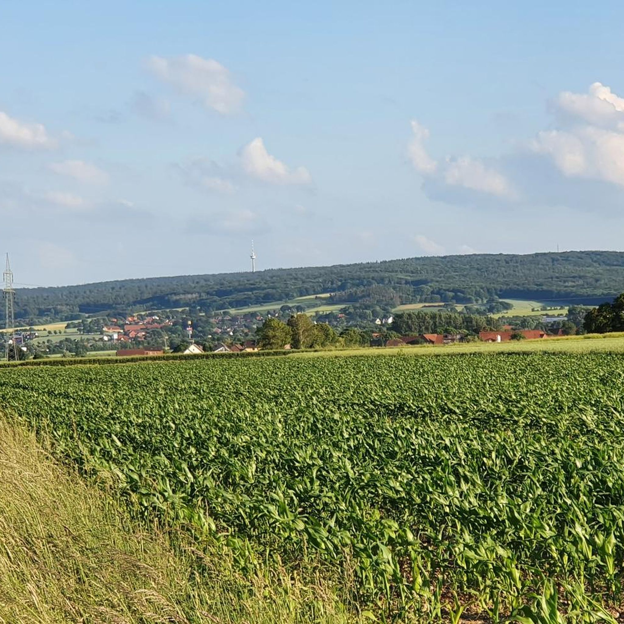
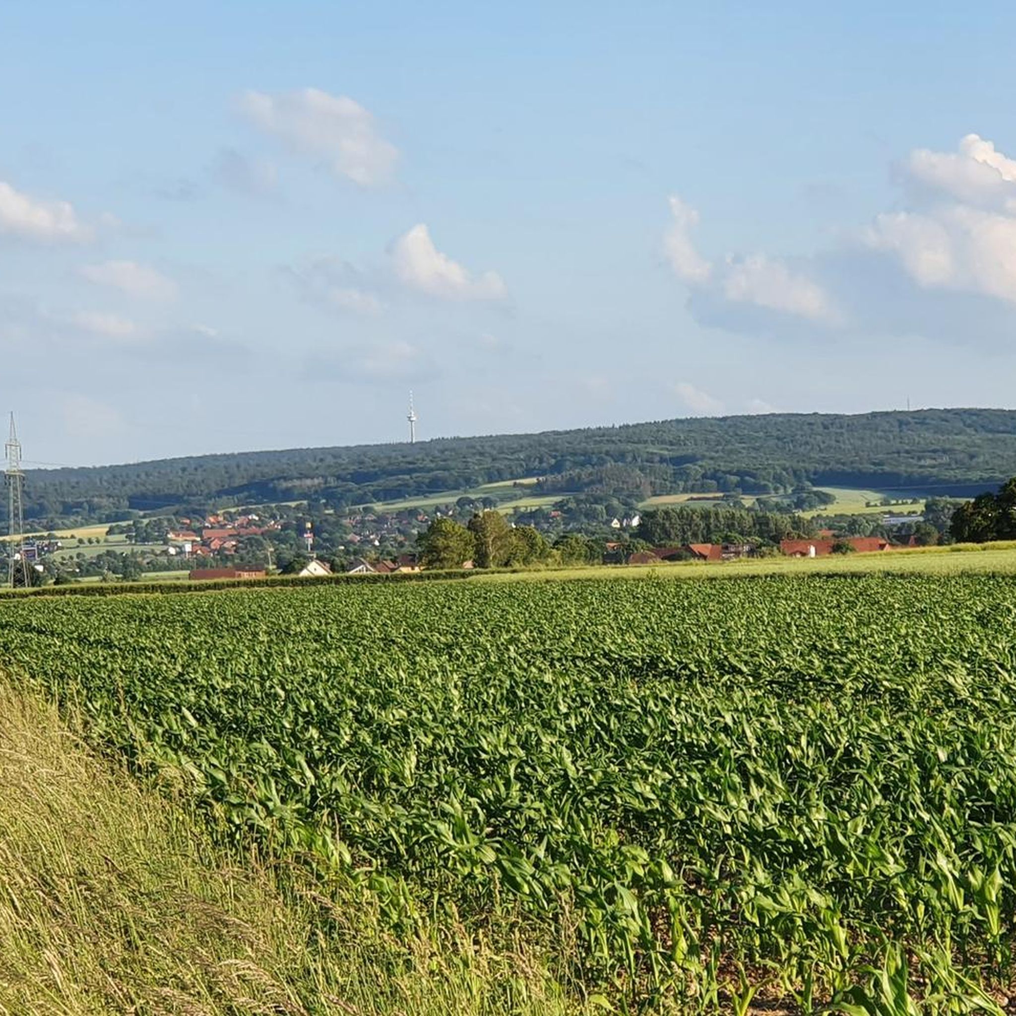
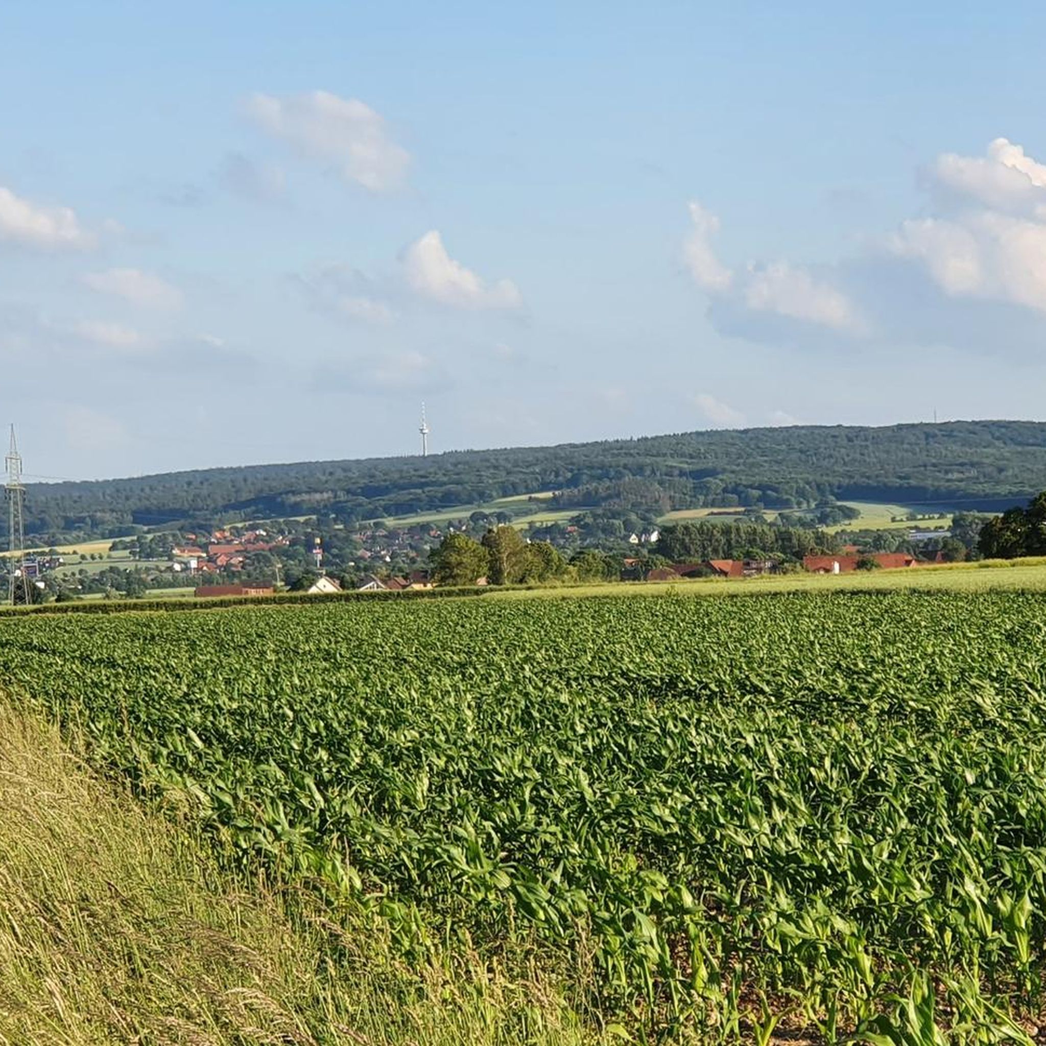
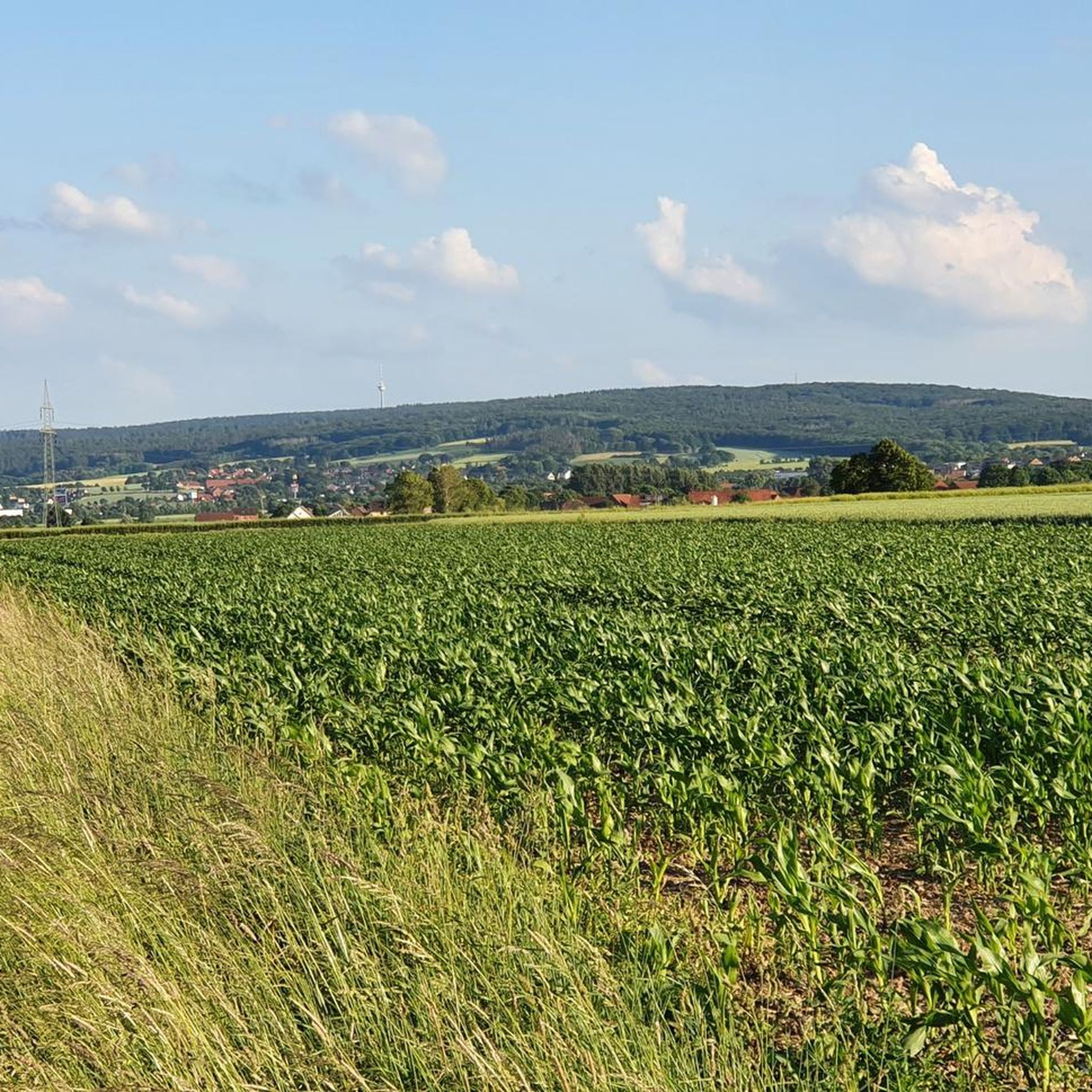
벤치가 있는 휴식 공간, 주변 지역의 멋진 전망. 아름다운 원경.
1
0

1951년 7월 8일, 산림청장 오토 콘의 주도로 십자가 너도밤나무에 제2차 세계 대전에서 전사한 산림 관리국 직원을 위한 기념관이 개관되었습니다. 직원들의 기부금으로 마련된 이 기념물은 높이 2.50미터의 기념석과 높이 12미터의 나무 십자가로 구성되어 있으며, 이 나무 십자가는 길이 15미터, 당시 344 독일 마르크의 비용이 든 참나무 통나무로 만들어졌습니다. 십자가 가로대에 "In hoc signo vince"(라틴어로 "이 징표 아래 승리하라")라고 새겨져 있습니다. 에게스토르프의 석공 카를 손더스하우젠이 조각한 웨알덴 사암에는 앞면에 10명, 왼쪽 면에 나중에 새겨진 6명의 전사자 또는 실종자 이름이 새겨져 있으며, 뒷면에는 요한 복음서의 구절이 있습니다. 출처: https://de.wikipedia.org/wiki/Kreuzbuche_(Barsinghausen)
1
0

Deister에서 하이킹 🥾이나 자전거 타기 🚴♂️ 후 맛있는 식사 🥘를 하거나 커피와 케이크 🍰를 즐기며 잠시 휴식을 취할 수 있습니다.
0
0
On a snowshoe hike, the Wallmannhütte in the Deister hills becomes a quiet, almost magical place. Surrounded by snow-covered forest, it offers a welcome break where you can pause for a moment and enjoy the winter tranquility.
1
0
The Rodenberger Höhe rises west of Heisterburg Castle at 322 m above sea level. It is a trigonometric point for the national survey and the site of a tower with telecommunications equipment. About 600 meters northwest of this spot – still in the parcel of land of the same name – is the Rodenberger Hütte, which is why many Deister hikers also call it the "Rodenberger Höhe." As early as the reign of Kaiser Wilhelm II, the Hanover Tourist Association built a shelter here from rubble stone with a flat roof serving as an observation platform, offering a magnificent view of Lake Steinhude, the Süntel Valley, the Süntel, and the Bückeberge Mountains. Today, the view is limited by the fast-growing trees below the hut and will surely soon become overgrown unless the responsible Saupark (Springe) Forestry Office takes countermeasures. Source: https://guentherklapproth.hier-im-netz.de/nachtrag_5_rodenberger_hoehe.html
1
0
The Rodenberger Höhe rises to the west of the Heisterburg at 322 m above sea level. It is a trigonometric point for the national survey and the location for a tower with telecommunications equipment. About 600 meters northwest of this point you will find the Rodenberger Hütte - still in the parcel of land of the same name - which is why many Deister hikers also call it the "Rodenberger Höhe". As early as the reign of Kaiser Wilhelm II, the Hanover Tourist Association had built a shelter here out of quarry stone with a flat roof that served as a viewing platform, from which a wonderful view of the Steinhuder Meer, Sünteltal, Süntel and Bückeberge was possible. Source: https://guentherklapproth.hier-im-netz.de/nachtrag_5_rodenberger_hoehe.html
2
0
Originally, where the Mooshütte is today, there was a shelter made of sticks and moss, next to a small pond that was fed by the Hessian spring. As early as 1895, the innkeeper of the Königseiche in Bantorf, Fritz Hecht, had been running the restaurant at the spring with a horse and cart, and only when the weather was good. In 1924, Fritz Hecht had the building of today's Mooshütte built, but it only contained a bar and a kitchen and was only later converted to residential use. In 1940, an ice and storage cellar was built into the mountain behind the Mooshütte, which always had the same temperature in summer and winter. In 1951, the steel construction company Preussag began emergency mining facilities around the Mooshütte. In 1954, the hall was added to the left of the building. Five years later, the Mooshütte was taken over by the daughter of the innkeeper Friedolf Hecht and her family, the Watermann family, who continued to expand the Mooshütte. After mining ceased in 1960, the Watermann family had the washhouse converted into a guest house. In October 1998, the Mooshütte was purchased by the Flügge family from Schmarrie, who had been interested in the building for some time and were in negotiations with the previous owner. They immediately set about renovating the property. On May 1, 1999, the Mooshütte opened its doors as a restaurant for day trippers and hikers. Since then, the Mooshütte has once again enjoyed its traditionally lively popularity. In the 2000s, further extensive renovations took place. There were new extensions and further redesigns. Source: https://mooshuette.de/#hi
4
0
서스펠드 주변에서 가장 인기 있는 명소


더 살펴보기
다른 지역의 최고의 그래블 라이딩를 살펴보세요.
