린츠 주변 최고의 그래블 라이딩 코스
4.5
(31)
279
자전거 타는 사람
49
라이딩
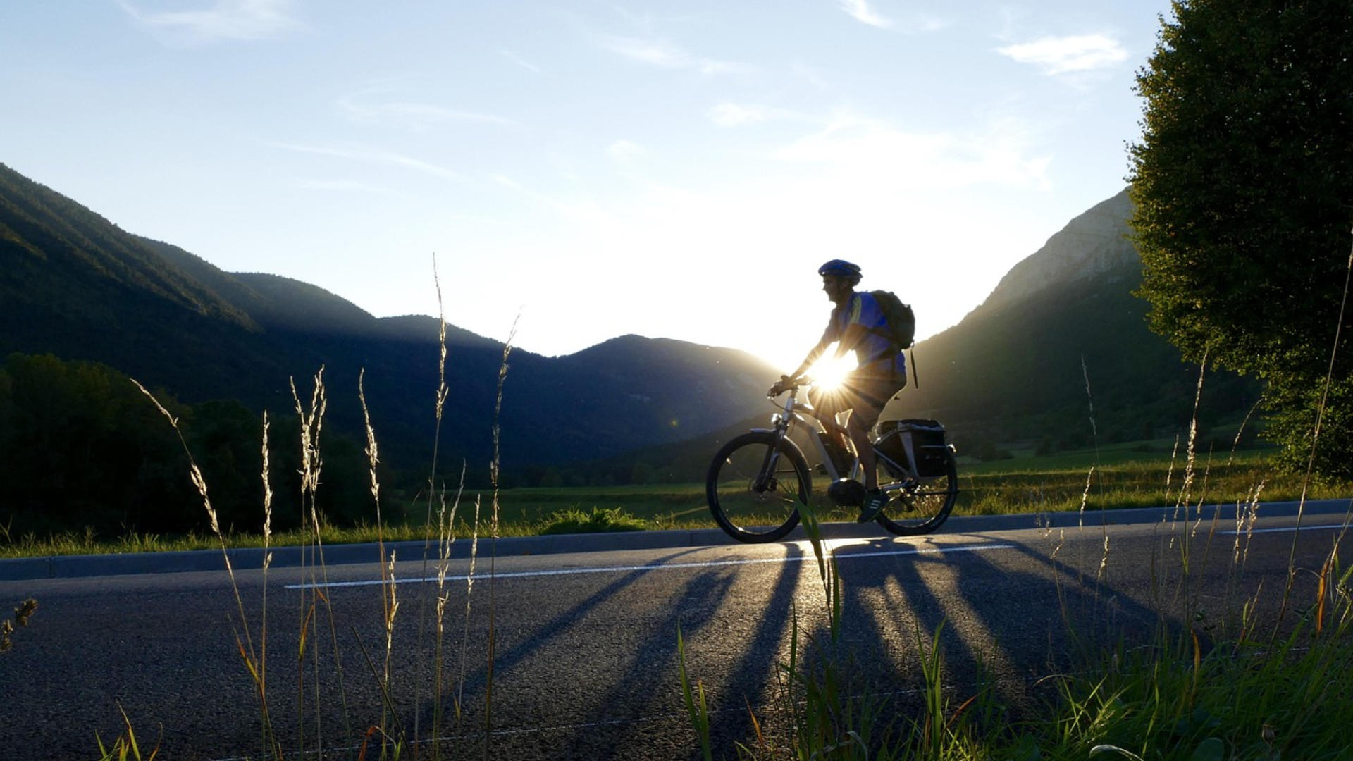
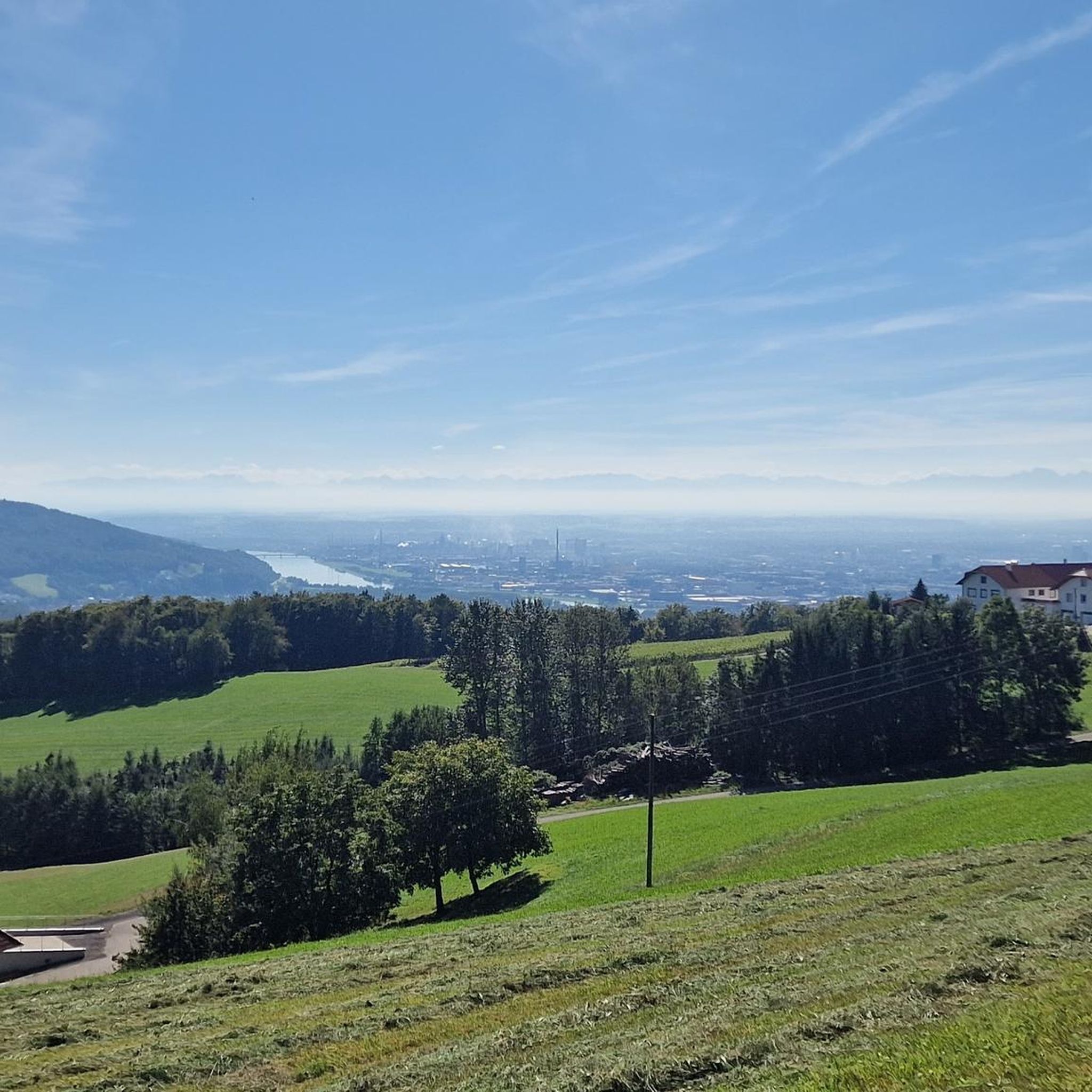
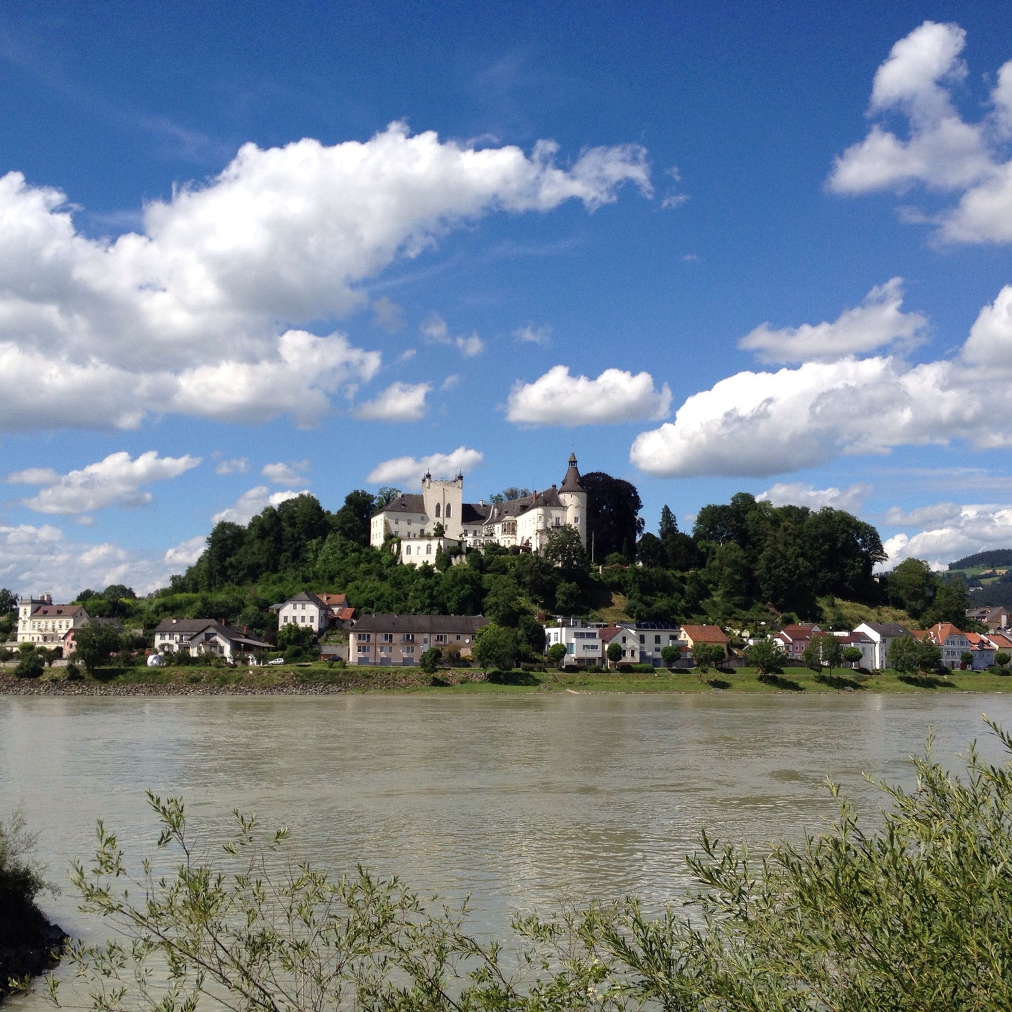
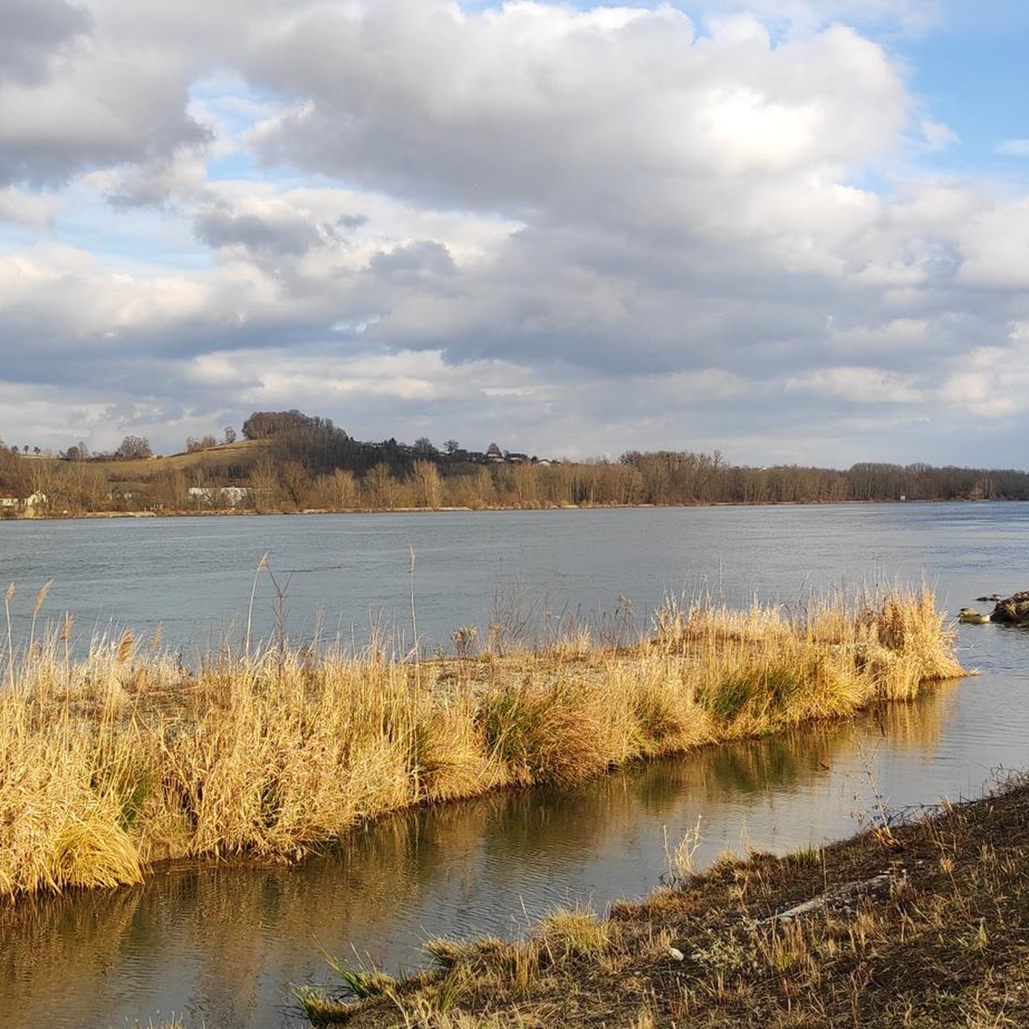
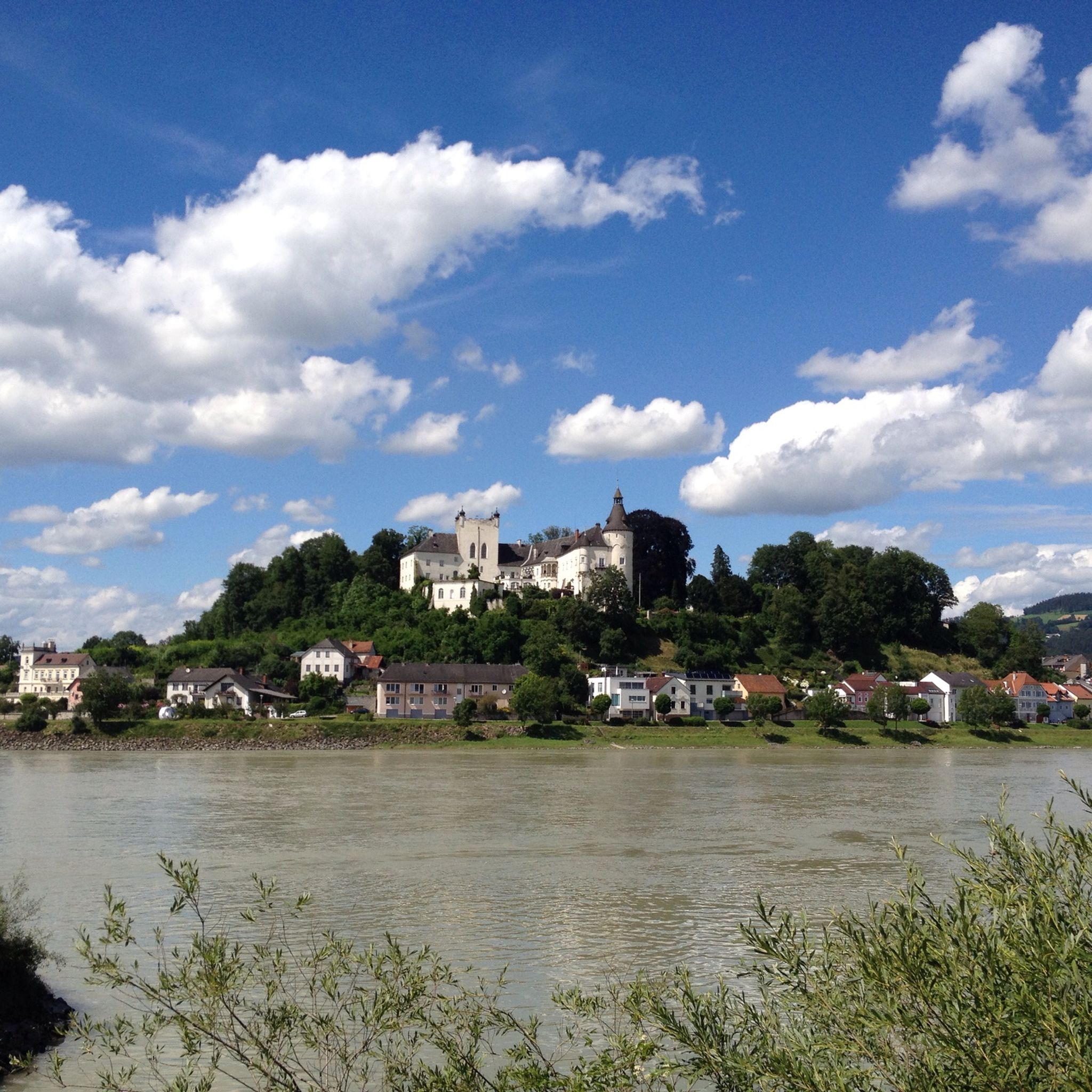
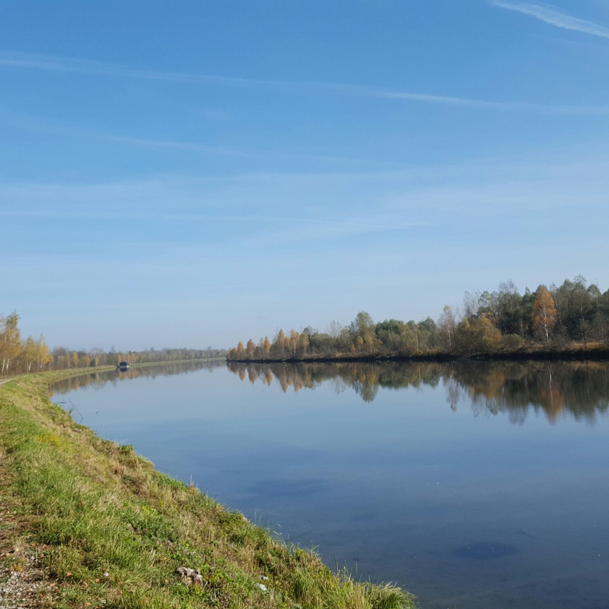
린츠 주변의 그래블 바이크 라이딩은 도나우 강, 주변의 범람원, 그리고 일련의 완만한 언덕으로 특징지어지는 다양한 풍경을 제공합니다. 이 지역은 강변길, 숲길 구간, 그리고 탁 트인 농경지의 조합을 특징으로 합니다. 고도는 일반적으로 중간 정도이며, 일부 경로는 푀스트링베르크(Pöstlingberg)와 펜닝베르크(Pfenningberg)와 같은 지역 전망대로 이어지는 오르막을 포함합니다. 이 다양한 지형은 여러 그래블 바이크 경험을 위한 옵션을 제공합니다.
린츠 주변 최고의 그래블 바이크 코스
- 가장 인기 있는 그래블 바이크 코스는 53.0마일(85.2km) 길이로 완료하는 데 6시간 6분이 소요되는 우르파르반트 현수교 – 린츠 중앙 광장 루프 (린츠…
마지막 업데이트: 11월 17, 2026
4.4
(7)
41
자전거 타는 사람
16.8km
01:09
380m
380m
보통 자갈길 타기. 좋은 체력 필요. 대부분 포장된 노면.
36
자전거 타는 사람
84.8km
06:03
1,590m
1,590m
어려운 자갈길 타기. 우수한 체력 필요. 대부분 포장된 노면.

5.0
(3)
25
자전거 타는 사람
89.3km
06:33
1,690m
1,690m
어려운 자갈길 타기. 우수한 체력 필요. 대부분 포장된 노면.
5.0
(1)
12
자전거 타는 사람
보통 자갈길 타기. 좋은 체력 필요. 대부분 포장된 노면.
14
자전거 타는 사람
121km
09:02
2,350m
2,350m
어려운 자갈길 타기. 우수한 체력 필요. 대부분 포장된 노면.
더 다양한 경로와 다른 탐험가들의 추천을 살펴보세요.
이미 komoot 계정이 있나요?
투어 추천은 다른 사람들이 komoot에서 완료한 수천 개의 활동을 바탕으로 구성되어 있습니다.


커뮤니티 팁

Warning: Komoot is once again providing completely incorrect data. Please use the operator's website if you want to mountain bike safely and legally: https://uppertrails.at/trails/pfenningberg-trails/
0
0
Important information: Due to its poor data management, Komoot contains numerous inaccuracies that are unfortunately not updated by the site operators, Komoot. For accurate data and current trail closures, please visit our dedicated website: www.uppertrails.at The routing function on Komoot also provides numerous inaccuracies and trail closures. As the trail operators, we strongly recommend deleting this app if you wish to mountain bike legally. There are several reputable products and portals available that you can use for your tour planning (Brouter, Trailforks, etc.). Best regards, your Trail Team
1
0

A Linz city summit for every season and every type of weather.
2
0

Wonderful view of Linz. But some of it is off-road, so you need thicker tires than I did. I had to walk a few parts. Otherwise, cool tour!
1
0

Beautiful city center with good bike paths and good signage for cyclists!
4
1

Very nice for resting
1
0
Meeting point for lovers 😍
1
0
Great view over Linz. Industrial area and harbor
0
0
린츠 주변에서 가장 인기 있는 명소


더 살펴보기
다른 지역의 최고의 그래블 라이딩를 살펴보세요.
