스타인후드 호수 주변 최고의 그래블 라이딩 코스
4.4
(130)
627
자전거 타는 사람
89
라이딩
그래블 바이크를 타고 슈타인후데 호수 주변을 달리면 평평하고 탁 트인 풍경 속에서, 종종 호수 자체를 따라가거나 인근 황야 및 농업 지역을 통과하는 코스를 즐길 수 있습니다. 이 지역은 미텔란트 운하를 따라가는 길과 토테스 모어와 같은 자연 보호 구역을 통과하는 길을 포함한 광범위한 길 네트워크가 특징입니다. 고도 변화는 일반적으로 최소화되어 다양한 표면에서 접근하기 쉬운 라이딩을 제공합니다. 황야, 갈대밭, 숲 등 다양한 지형은 그래블 바이크 라이더에게 다채로운 경험을 선사합니다.
슈타인후데 호수 주변 최고의 그래블 바이크 트레일
- 가장 인기 있는 그래블 바이크 트레일은 토테스 모어 자연 트레일 – 마르도르프 서프 비치 루프 (마르도르프 출발)로, 1시간 57분이 소요되는 쉬운 24.4마일(39.2km) 코스입니다. 이 경로는 토테스 모어 자연 보호 구역을 탐험하며 마르도르프 서프 비치 근처 구간도 포함합니다.
- 현지 그래블 바이크 라이더들 사이에서 또 다른 인기 코스는 로인데 라인 다리 – 로인데 미텔란트 운하 루프 (슈타인후데 출발)로, 34.9마일(56.2km)의 중간 난이도 코스입니다. 이 경로는 운하 옆길과 시골 풍경을 통과합니다.
- 현지 그래블 바이크 라이더들은 토테스 모어의 자작나무 길 – 하겐부르크 나무 다리 루프 (슈타인후데 출발)도 좋아합니다. 이 34.1마일(54.8km) 코스는 황야와 자작나무 숲을 통과하며, 완료하는 데 약 2시간 50분이 걸립니다.
- 슈타인후데 호수 주변의 그래블 바이크 라이딩은 호숫가 길, 황야 트레일, 운하 루트로 특징지어집니다. 이 네트워크는 쉬운 루프부터 중간 정도의 거리까지 다양한 난이도의 옵션을 제공합니다.
- 슈타인후데 호수의 코스는 100개 이상의 리뷰에서 평균 4.6점의 높은 평가를 받은 komoot 커뮤니티의 찬사를 받고 있습니다. 500명 이상의 그래블 바이크 라이더가 komoot를 사용하여 슈타인후데 호수의 다양한 지형을 탐험했습니다.
마지막 업데이트: 10월 19, 2026
4.1
(9)
16
자전거 타는 사람
56.1km
02:51
140m
140m
보통 자갈길 타기. 좋은 체력 필요. 대부분 포장된 지면. 실력과 관계없이 누구나 갈 수 있음.
4.6
(5)
16
자전거 타는 사람
54.0km
02:43
120m
120m
보통 자갈길 타기. 좋은 체력 필요. 대부분 포장된 지면. 실력과 관계없이 누구나 갈 수 있음.

3.7
(3)
14
자전거 타는 사람
36.4km
01:53
80m
80m
초급용 그래블 라이딩. 모든 체력 수준에 적합. 대부분 포장된 지면. 실력과 관계없이 누구나 갈 수 있음.
6
자전거 타는 사람
27.7km
01:26
80m
80m
초급용 그래블 라이딩. 모든 체력 수준에 적합. 대부분 포장된 지면. 실력과 관계없이 누구나 갈 수 있음.
4.0
(1)
11
자전거 타는 사람
36.4km
01:48
60m
60m
초급용 그래블 라이딩. 모든 체력 수준에 적합. 대부분 포장된 지면. 실력과 관계없이 누구나 갈 수 있음.
더 다양한 경로와 다른 탐험가들의 추천을 살펴보세요.
이미 komoot 계정이 있나요?
투어 추천은 다른 사람들이 komoot에서 완료한 수천 개의 활동을 바탕으로 구성되어 있습니다.
오늘 무료 계정으로 시작하세요
다음 모험이 기다리고 있어요.
스타인후드 호수 주변 인기 장소

Europe’s Seasonal Birding Hotspots
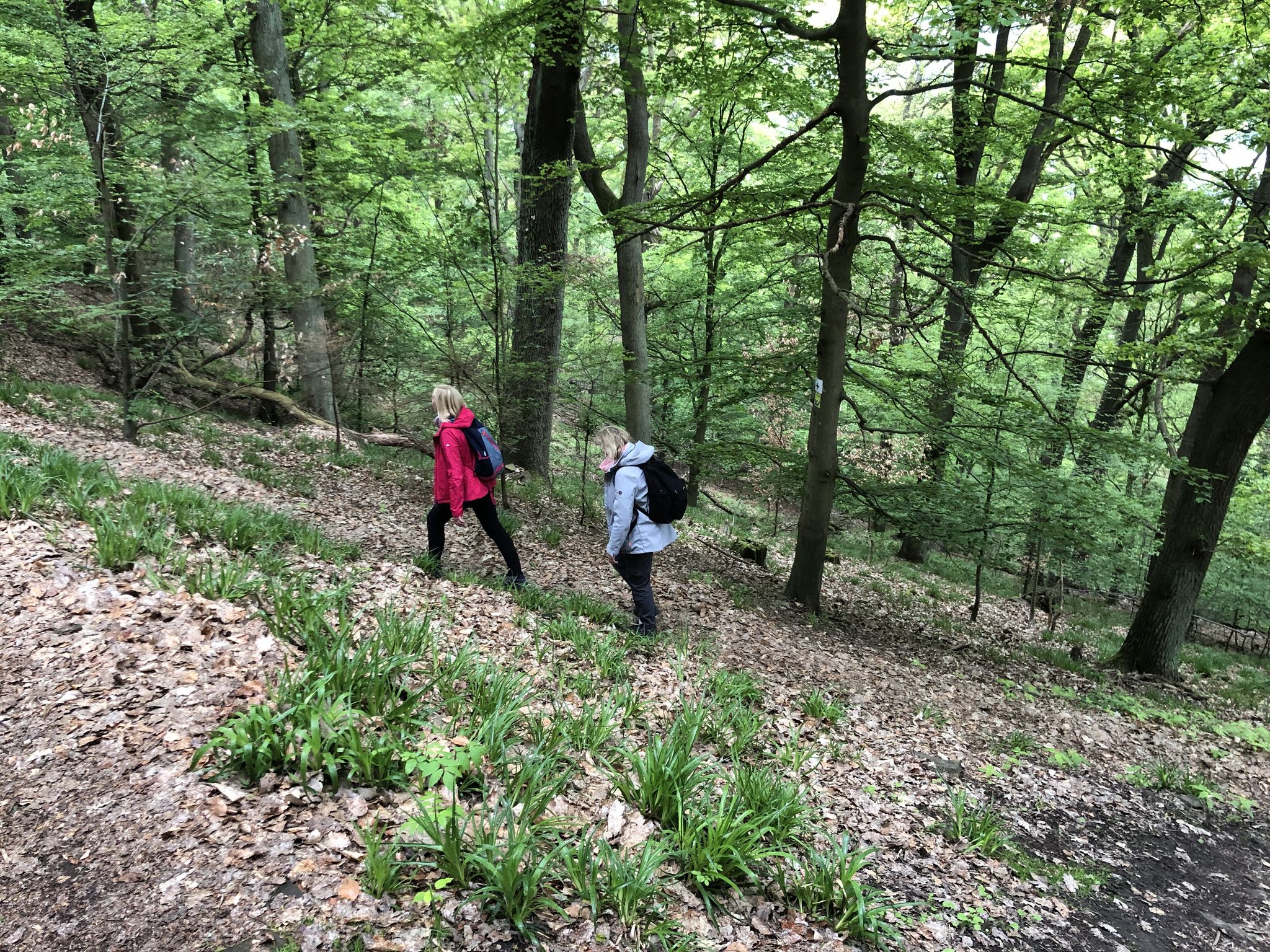
On the Discoverer's trail Explore Rehburg-Loccum
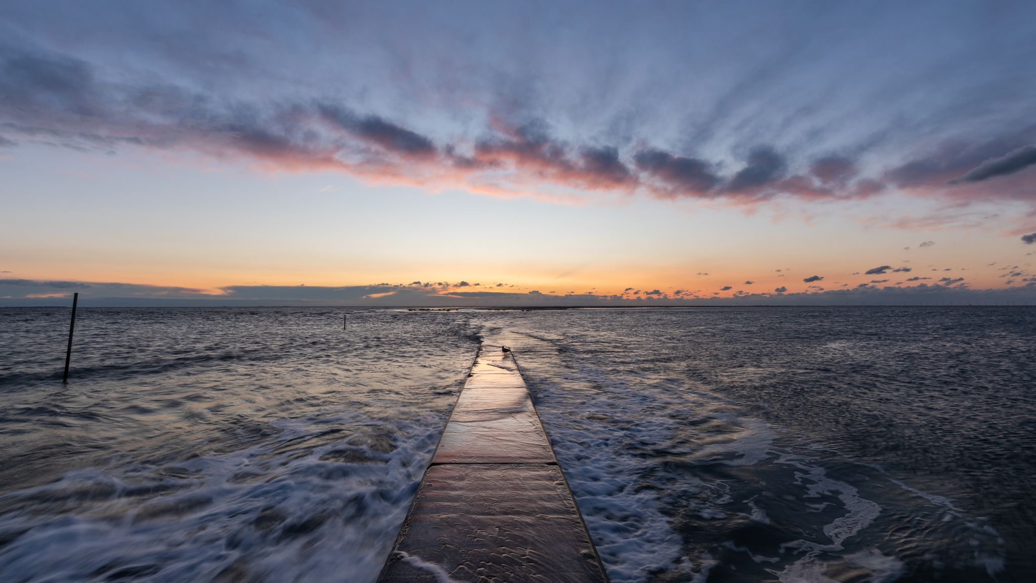
Nationalen Naturlandschaften in Niedersachsen

Hanover trails – hiking between Steinhuder Meer and Deister
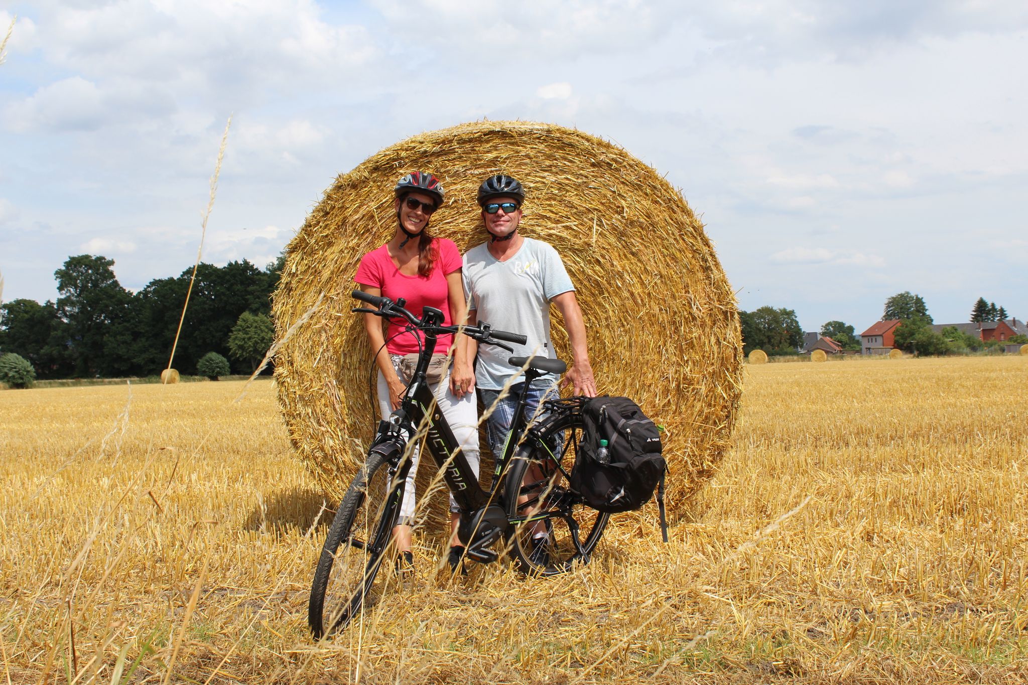
TOP 10 themed bike Tours in the Mittelweser region
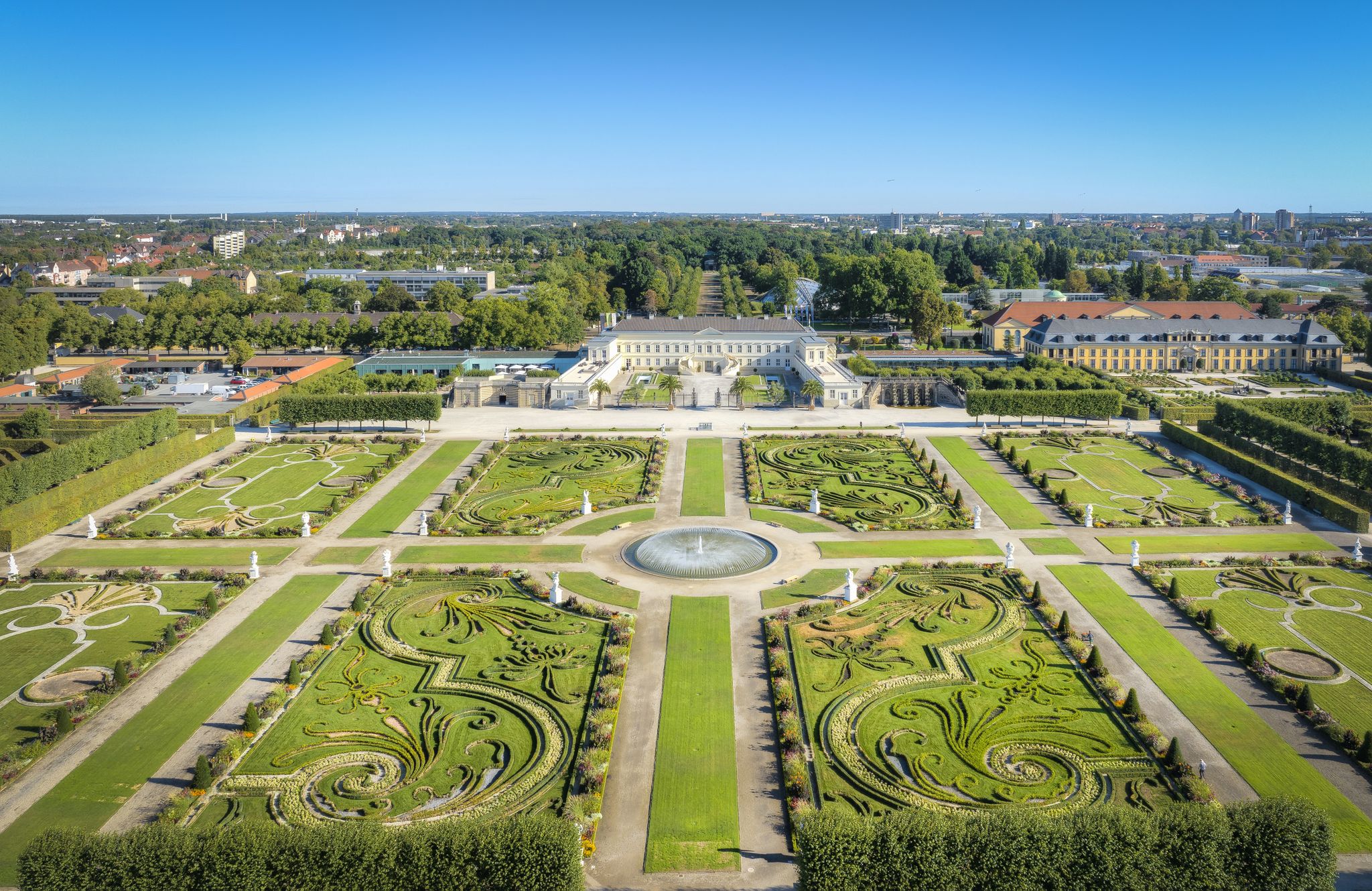
Hannover holiday region – varied cycling experiences in culture and nature

햇살이 좋은 주말을 위한 33개의 호수

The best swimming lakes in Lower Saxony
The best swimming lakes around Hannover
Kulturroute in Niedersachsen – Alternativrouten / Ergänzungsrouten
스타인후드 호수 주변의 다른 모험


커뮤니티 팁

슐로스 리킹겐의 개신교 교회 내부는 놀랍도록 풍부합니다
0
0

하노버 지역의 미텔란트 운하. 운하를 따라 아름다운 코스이지만, 안타깝게도 풀 때문에 시야가 다소 제한됩니다.
1
0

이 "운하" 옆의 길은 양쪽 모두 훌륭합니다! 여기서 타는 것을 좋아합니다!
0
0

슈타인후데르 호수(Steinhuder Meer)에 있는 Meerbruchwiesen는 중요한 습지입니다. 이곳은 습지 초원으로 이루어져 있으며, 특히 초새과의 새들에게 많은 희귀 동식물 종에게 중요한 서식지를 제공합니다. 자연 보호 조치를 통해 종의 다양성이 보존되고 향상되어, 이 지역은 오늘날 유럽 보호망인 Natura 2000의 일부가 되었습니다.
2
0

A deer enclosure well worth seeing. It's even worth a short detour, especially if you have children with you on a hike or bike ride. Where else can you get so close to our native fallow deer? Very nice, we all enjoyed it very much and we will definitely come back.
1
0

I always enjoy boating on the canal. Especially in the evenings when the weather is nice! It's quiet and not too crowded!
0
0
The Mittelland Canal is the longest artificial waterway in Germany and plays a central role in the European inland navigation network. It runs from the Dortmund-Ems Canal near Hörstel (North Rhine-Westphalia) to the Elbe River near Magdeburg (Saxony-Anhalt) and stretches for approximately 325 kilometers. The canal is one of the most important east-west connections for inland navigation in Germany. It links numerous rivers and canals, including the Rhine, the Weser, the Elbe, and, via further connections, the Oder. This allows for the transport of goods across northern Germany without ships being dependent on the fluctuating water levels of natural rivers. Bulk goods such as coal, ore, building materials, grain, and containers are primarily transported via the Mittelland Canal. It thus contributes significantly to relieving road and rail traffic and is a major factor for the economy and logistics in Germany.
1
0
스타인후드 호수 주변에서 가장 인기 있는 명소


더 살펴보기
다른 지역의 최고의 그래블 라이딩를 살펴보세요.
