Ψηλός Παντοκράτωρ (Σπαρτύλας-Πεταλείας-Νησακίου) 최고의 러닝 경로
4.3
(156)
3,136
달리기 하는 사람
113
러닝
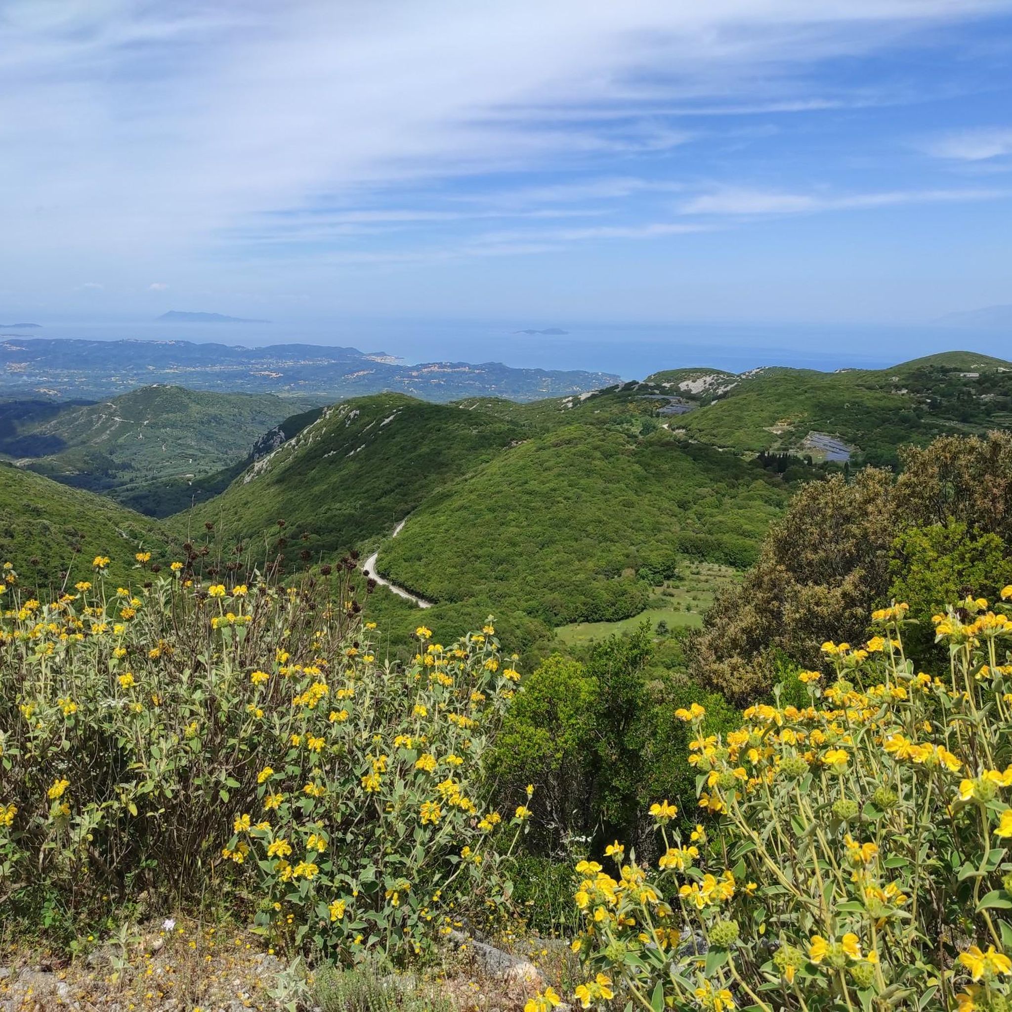
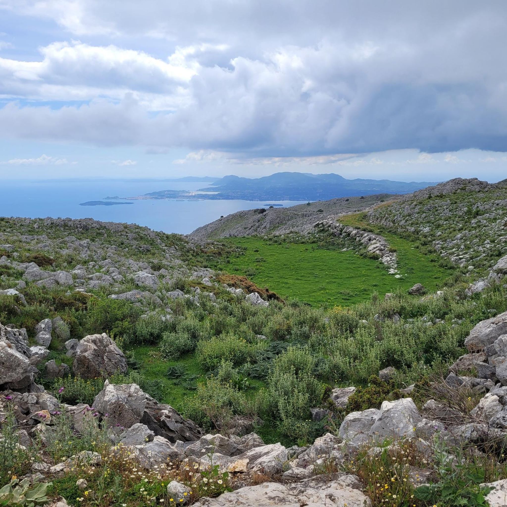
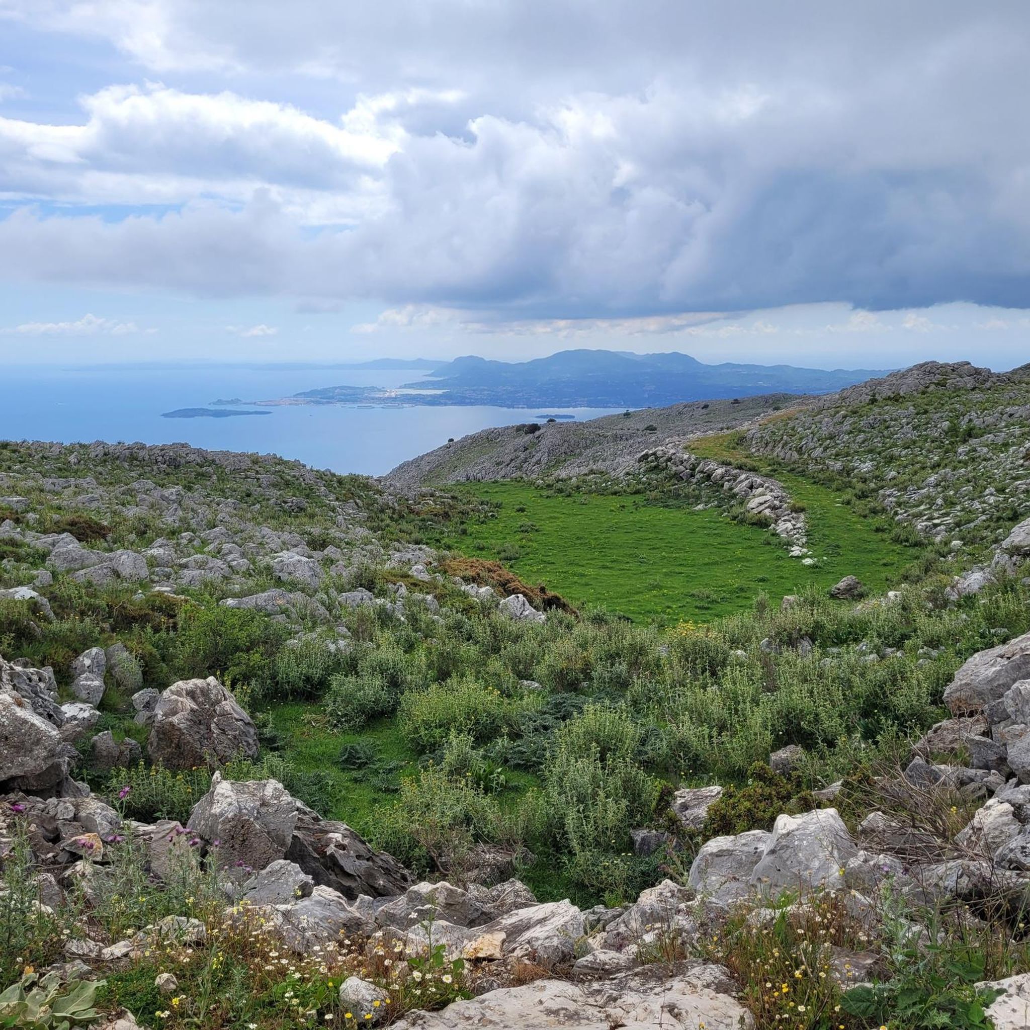
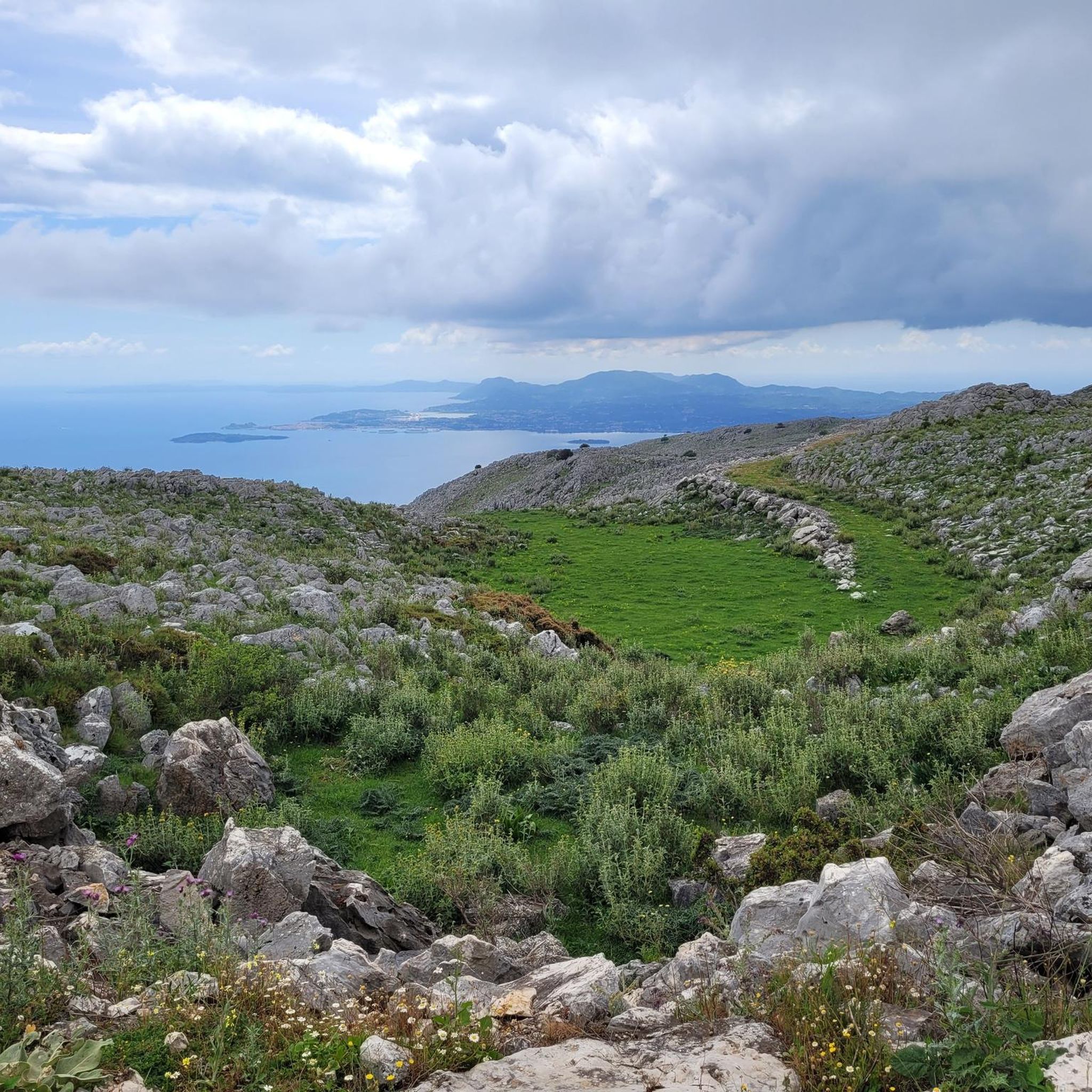
Ψηλός Παντοκράτωρ (Σπαρτύλας-Πεταλείας-Νησακίου) 지역의 조깅 코스는 코르푸에서 가장 높은 봉우리인 판토크라토르 산이 지배하는 다양한 풍경을 가로지릅니다. 이 지역은 덤불 숲, 푸른 산비탈, 석회암 지형으로 이루어져 있어 다양한 달리기 조건을 제공합니다. 코스는 울창한 지중해 숲을 통과하는 쉽게 접근할 수 있는 길부터 상당한 고도 변화가 있는 더 도전적인 바위 해안 트레일까지 다양합니다. 이 지역은 이오니아 해와 주변 섬들의 파노라마 전망을 제공합니다.
Ψηλός Παντοκράτωρ (Σπαρτύλας-Πεταλείας-Νησακίου) 최고의 조깅 코스
- 가장 인기 있는 조깅 코스는 프실로스 판토크라토르(스파르틸라스-페탈리아스-니사키우) 출발 글리파 해변 루프로, 9.3km 길이이며 완주에…
마지막 업데이트: 9월 16, 2026
5.0
(2)
6
달리기 하는 사람
11.1km
01:23
240m
230m
보통 조깅. 좋은 체력 필요. 대부분 갈 수 있는 길. 일부 구간에서 미끄러지지 않게 조심해야 함.
5.0
(1)
23
달리기 하는 사람
20.1km
02:55
910m
910m
어려운 조깅. 우수한 체력 필요. 튼튼한 신발을 신고 미끄러지지 않게 조심해야 하며, 높은 산을 오른 경험이 있어야 함.

22
달리기 하는 사람
34.0km
03:32
150m
150m
어려운 조깅. 우수한 체력 필요. 대부분 포장된 지면. 실력과 관계없이 누구나 갈 수 있음.
4.0
(1)
16
달리기 하는 사람
5.84km
00:42
220m
220m
보통 조깅. 좋은 체력 필요. 대부분 포장된 지면. 실력과 관계없이 누구나 갈 수 있음.
4.0
(2)
14
달리기 하는 사람
10.2km
01:11
150m
150m
보통 조깅. 좋은 체력 필요. 대부분 포장된 지면. 실력과 관계없이 누구나 갈 수 있음.
더 다양한 경로와 다른 탐험가들의 추천을 살펴보세요.
이미 komoot 계정이 있나요?
투어 추천은 다른 사람들이 komoot에서 완료한 수천 개의 활동을 바탕으로 구성되어 있습니다.
오늘 무료 계정으로 시작하세요
다음 모험이 기다리고 있어요.
Ψηλός Παντοκράτωρ (Σπαρτύλας-Πεταλείας-Νησακίου) 주변 인기 장소
커뮤니티 팁


If you go down to past the NAOK Azur restaurant, there is a swimming spot where locals climb into the Ioanian Sea / Yacht Harbor via ladder.
0
0
The church is dedicated to Taxiarches – Archangels: Michael and Gabriel. The setting is truly amazing as it sits on the edge of the Pantokrator Massif as it drops to the sea. The beautiful wall paintings are unfortunately exposed to the weather.
0
0

Sometimes slippery, especially in high winds when waves pour onto the pavement!
1
0
The route is mainly along the shore but also in green alleys.
1
0

In the VI century, the city of Corfu (Paleopoli), which was located on the Kanoni peninsula, was destroyed and the survivors decided to use the ruins to build a new city that was more defendable. Then they created a fortification, i.e. the Old Fortification, which is located in the eastern end of the city of Corfu. The access to the Old Fortification is in front of Liston, near the Esplanada of Corfu; you will immediately notice the large bastions that represent a masterpiece of military architecture of the past. To reach them you should cross the bridge that connects the city to the island of the Fortification; they are separated by the moat that was created for defense and is today used for fishing boats. You will immediately understand that it represents the ideal place to build a small fortified city; near the sea, this ancient fortification was able to defend the city very well and also control the situation of the nearby coasts The fortification was first started by the Byzantines and then modified by the Venetians in the 16th century to defend against the incursions of the Turkish populations. For this reason, the Venetians decided to strengthen the bastions and enlarge the moat to prevent foreign incursions. The statue in memory of General Schulenburg (built by the Venetians in memory of the defense against the Turks) is located in front of the entrance to the bridge of the first moat, which together with the second leads to the inner courtyard of the fortification. Source: corfu-kerkyra.eu/de/festungen-korfu.php
2
0
In the VI century, the city of Corfu (Paleopoli), which was located on the Kanoni peninsula, was destroyed and the survivors decided to use the ruins to build a new city that was more defendable. Then they created a fortification, i.e. the Old Fortification, which is located in the eastern end of the city of Corfu. The access to the Old Fortification is in front of Liston, near the Esplanada of Corfu; you will immediately notice the large bastions that represent a masterpiece of military architecture of the past. To reach them you should cross the bridge that connects the city to the island of the Fortification; they are separated by the moat that was created for defense and is today used for fishing boats. You will immediately understand that it represents the ideal place to build a small fortified city; near the sea, this ancient fortification was able to defend the city very well and also control the situation of the nearby coasts The fortification was first started by the Byzantines and then modified by the Venetians in the 16th century to defend against the incursions of the Turkish populations. That is why the Venetians decided to strengthen the bastions and enlarge the moat to prevent foreign incursions. The statue in memory of General Schulenburg (built by the Venetians in memory of the defense against the Turks) is located in front of the entrance to the bridge of the first moat, which together with the second leads to the inner courtyard of the fortification. Source: https://www.corfu-kerkyra.eu/de/festungen-korfu.php
3
0

Ψηλός Παντοκράτωρ (Σπαρτύλας-Πεταλείας-Νησακίου)에서 가장 인기 있는 경로
Ψηλός Παντοκράτωρ (Σπαρτύλας-Πεταλείας-Νησακίου)에서 가장 인기 있는 명소


더 살펴보기
다른 지역의 최고의 러닝 트레일 & 경로를 살펴보세요.
