호프하임 암 타우누스 최고의 워킹 & 하이킹 경로
4.5
(3999)
15,713
등산객
464
하이킹
Komoot에 등록된 호프하임 암 타우누스 내 트레일 및 경로 컬렉션 중에서 하이킹과 워킹을 가장 멋지게 즐길 수 있는 곳을 알려드릴게요. 아래에서 각 경로의 상세 정보를 모두 확인한 후, 호프하임 암 타우누스 속 자연에서 즐거운 시간을 누려보세요.
마지막 업데이트: 10월 10, 2026
4.4
(95)
370
등산객
12.9km
03:35
240m
240m
Moderate 8-mile hike in Naturpark Taunus, exploring Hofheim's Stadtwald and reaching Meisterturm for views.
4.7
(172)
658
등산객
12.1km
03:24
250m
250m
보통 하이킹. 좋은 체력 필요. 실력과 관계없이 누구나 쉽게 갈 수 있는 길.

4.7
(94)
248
등산객
4.97km
01:23
100m
100m
초급용 하이킹. 모든 체력 수준에 적합. 실력과 관계없이 누구나 쉽게 갈 수 있는 길.
4.8
(104)
330
등산객
10.5km
02:56
200m
200m
보통 하이킹. 좋은 체력 필요. 실력과 관계없이 누구나 쉽게 갈 수 있는 길.
4.5
(35)
147
등산객
5.32km
01:46
260m
260m
초급용 하이킹. 모든 체력 수준에 적합. 실력과 관계없이 누구나 쉽게 갈 수 있는 길.
더 다양한 경로와 다른 탐험가들의 추천을 살펴보세요.
이미 komoot 계정이 있나요?
투어 추천은 다른 사람들이 komoot에서 완료한 수천 개의 활동을 바탕으로 구성되어 있습니다.
오늘 무료 계정으로 시작하세요
다음 모험이 기다리고 있어요.
호프하임 암 타우누스 주변 인기 장소
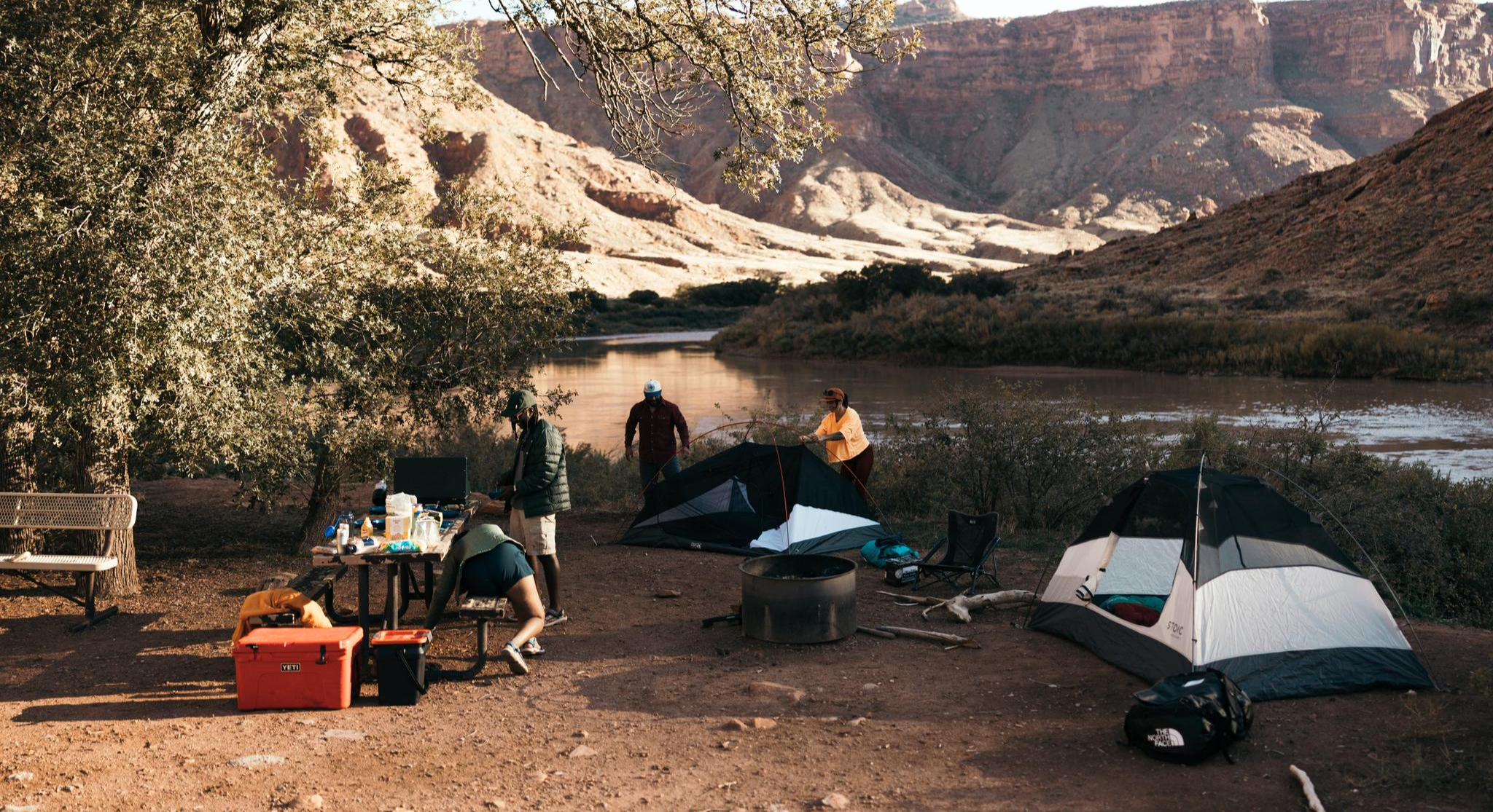
Glamping Adventures on Foot

#GoFurther – discover the views of Germany!

Onto the train, out into the snow – winter hiking for all ages in the Rhine-Main
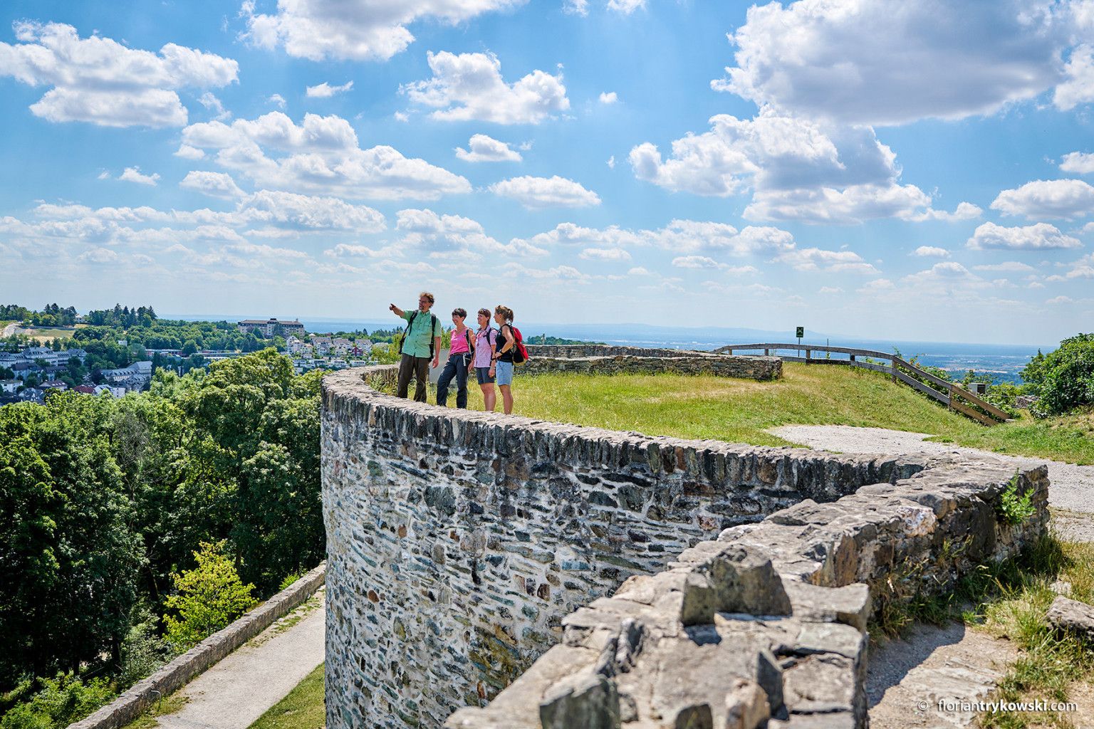
Experience nature and culture — hiking in Germany’s Taunus region
호프하임 암 타우누스 사이클링
호프하임 암 타우누스 로드 사이클링 경로
호프하임 암 타우누스 러닝 트레일
호프하임 암 타우누스 MTB 트레일
호프하임 암 타우누스 주변 그래블 라이딩
호프하임 암 타우누스 등산
호프하임 암 타우누스 주변의 다른 모험


커뮤니티 팁

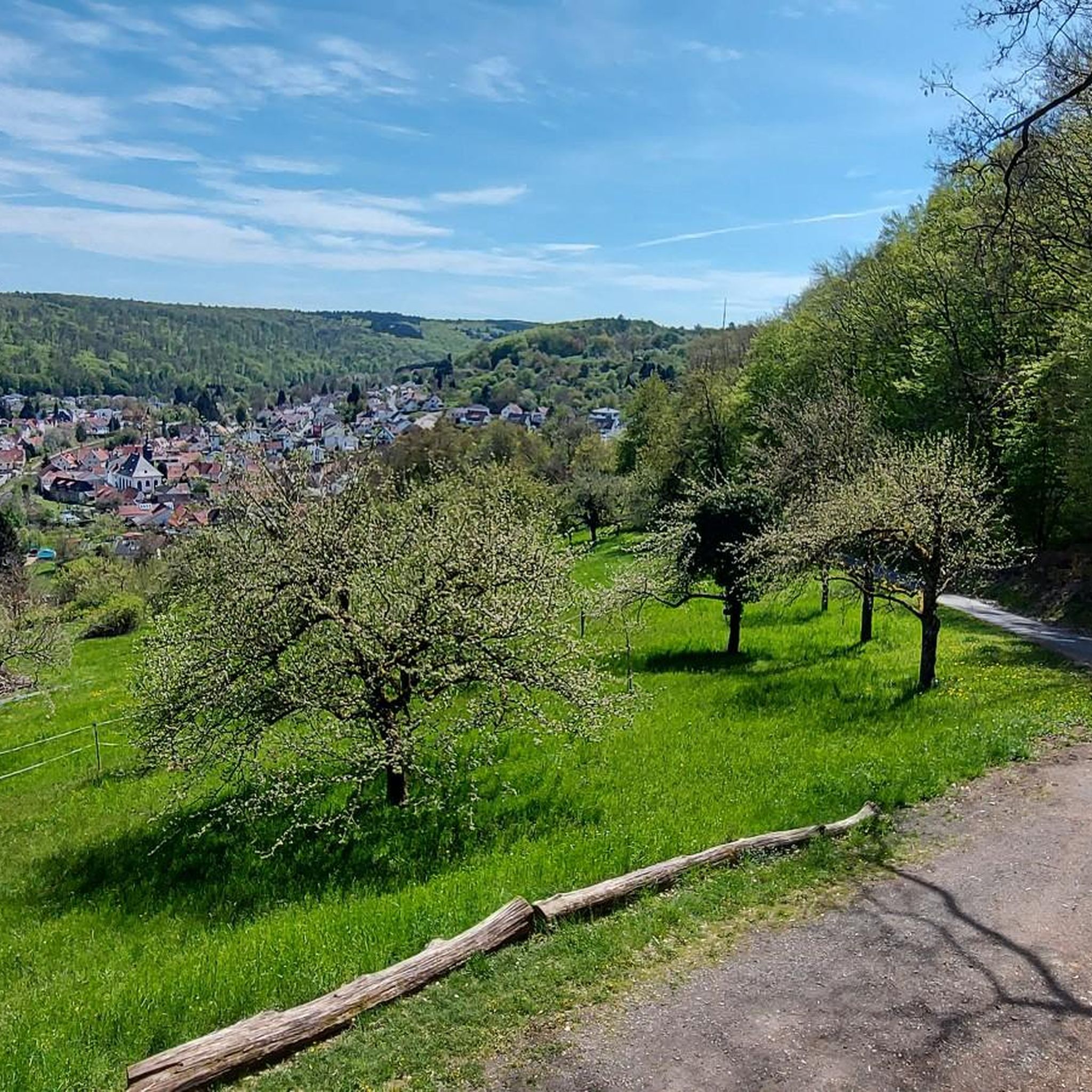
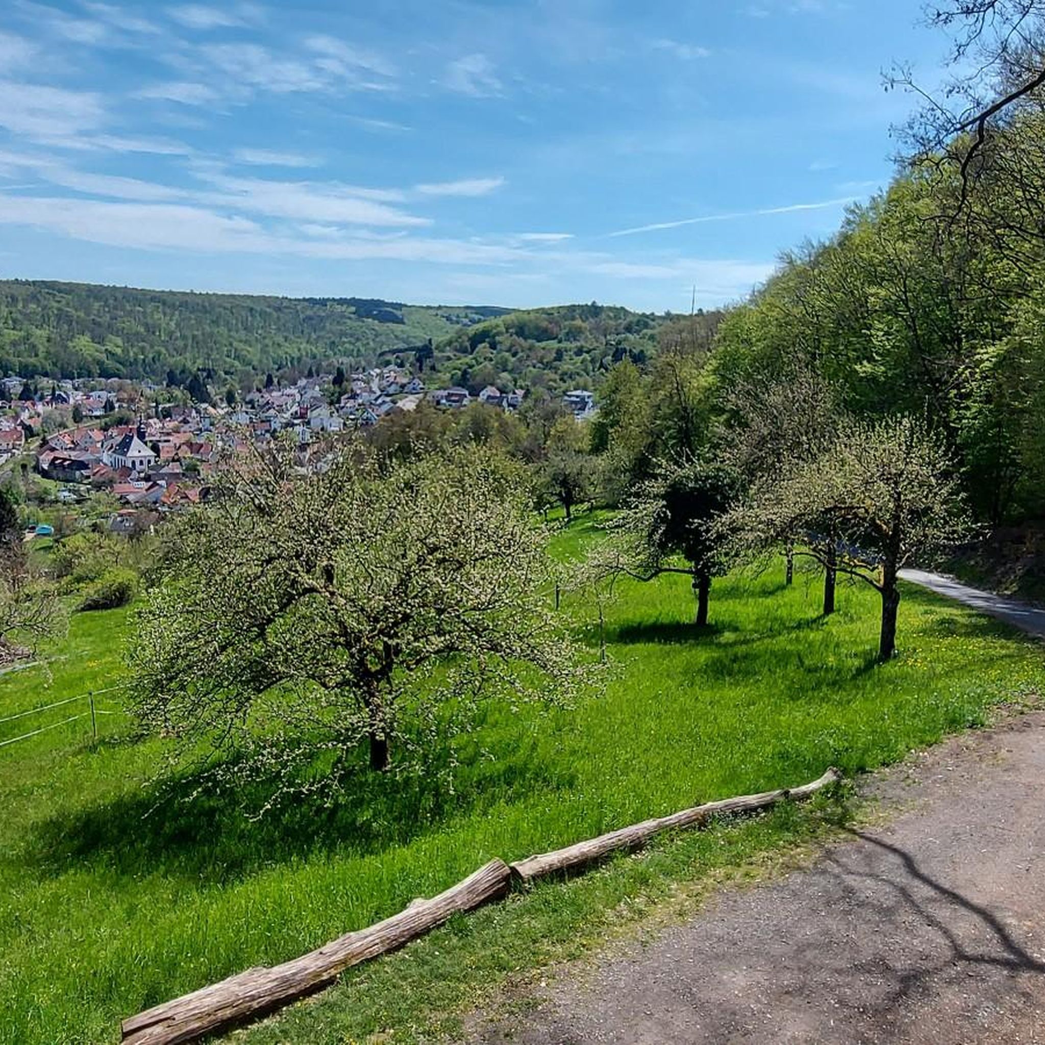
이 위치에서는 프랑크푸르트 스카이라인과 알트쾨니히, 펠트베르크와 같은 타우누스 산들의 멋진 전망을 볼 수 있습니다.
16
0
타우누스 석영암은 약 4억 년 전 데본기 하부의 모래 퇴적물에서 형성된 매우 단단하고 풍화에 강한 암석입니다. 주변의 점판암보다 훨씬 더 견고하기 때문에 오늘날 타우누스의 "척추"를 형성하며, 에쉬바허 클리펜과 같은 독특한 암석 지형으로 중산간지의 가장 높은 봉우리들을 형성합니다. 주로 밝은 회색에서 흰색을 띠는 이 암석은 견고함 때문에 오늘날 주로 도로 건설, 철도 자갈 또는 유리 산업에 사용됩니다.
5
0
From the Meisterturm tower, you have a magnificent panoramic view of the entire Rhine-Main region, the Taunus mountains, and the surrounding area. Truly beautiful! 🤩
13
2
This forest, dubbed the northernmost pine forest in Europe (though I'm not an expert, I'd guess it's *Pinus pinea*), was probably a mistake. In the 19th century, the Kapellenberg hill was reforested, and these pines were planted on its barren, rocky southern slope. The city's 1878 accounts mention 11,500 young *Pinus* saplings – without specifying them further. Did *Pinus pinea* sound much more like a pine tree to the buyer than *Pinus sylvestris*? In any case, the Mediterranean plants seem to thrive here, attracting many a surprised glance from passersby.
13
1
The Grey Stone at the Cohausen Temple is a Taunus quartzite, which was formed by Tertiary weathering and Quaternary exposure and was later probably brought to its current location as a menhir.
12
0
The listed chapel, a landmark of Hofheim, is visible from afar (e.g., from the A66 motorway). Its impressive history was commemorated in 2016 with an exhibition and a book at the Hofheim City Museum, marking the 350th anniversary of the vow made there. The quotations in this text are taken from that book. Following the horrors of the Thirty Years' War (1618-1648), another catastrophe claimed victims among the population: the plague. In 1665, it was brought up the Rhine from Cologne to Mainz and spread – primarily via market ships – to Frankfurt and, from 1666 onward, to Flörsheim. Soon, other towns in the Main Valley were also affected. Hofheim was an exception. After the threat became tangible, particularly due to plague deaths in Zeilsheim and Flörsheim, Pastor Johannes Gleidner led the people of Hofheim in a procession to the "Rabberg" hill on June 3, 1666 (Ascension Day). As one of his later successors, Antonius Hilf, described in 1864, the procession, accompanied by penitential hymns, proceeded "up the vine-covered slope." Young men carried banners, the cross, and the canopy, beneath which four virgins carried an image of Mary. At the top, Gleidner asked if they would like to name the mountain "Carmelberg" (Carmel Mountain), build a chapel there, and vow to "make several pilgrimages there each year." Afterward, the people "fell to their knees, deeply moved," and made the vow—at which point, at that very moment, the bells of the parish church below began to ring. When further plague victims appeared in Wicker, Weilbach, Eppstein, Fischbach, Hochheim, Flörsheim, Eddersheim, Castel, Mainz, Frankfurt, and Zeilsheim, Gleidner led the communities of Hofheim and Marxheim up the mountain again on July 2, 1666 (the Feast of the Visitation). Pilgrims from surrounding villages joined the pilgrimage, and Gleidner renewed "the vow, made known to him by everyone, that if God would avert the afflictions of the plague, he would build a chapel on this site to His glory and to the praise of the Blessed Virgin Mary." Hofheim was spared from the plague, and in May 1667, work began on preparing the timber for the half-timbered structure. The chapel was consecrated on September 29th. One hundred years later, the church had become too small, and a new, larger one had to be built. By this time, a "pilgrimage tourism" had developed around the chapel, which was also a "thorn in the side" of the local priest. The new stone building was more than twice the size of the old chapel: 27.90 meters long, 12.60 meters wide, and 13.20 meters high. A gallery provided additional seating capacity. From 1774 onwards, silent prayer services were permitted, as the chapel was not consecrated until ten years later (1784). ```
12
1
호프하임 암 타우누스 주변에서 가장 인기 있는 명소


더 살펴보기
다른 지역의 최고의 하이킹를 살펴보세요.
