20의 모리츠하임가지 명소 & 주요 장소
모리츠하임에는 둘러볼 만한 장소가 많답니다. 하이킹 또는 사이클링을 좋아한다면 모리츠하임에 숨겨진 20
가지 보석을 만날 수 있을 거예요. 이 지역의 주요 명소를 살펴보면서 다음 모험을 계획해보세요.
마지막 업데이트: 10월 9, 2026
가이어레이 현수 로프 다리
하이라이트 (구간) • 다리
번역자 Google •
팁에 의해

칼몬트 비아 페라타
하이라이트 (구간) • 등반
번역자 Google •
팁에 의해

이런 장소를 발견하려면 지금 가입하세요
최고의 싱글 트랙, 봉우리 및 다양한 흥미로운 야외 장소에 대한 추천을 받아보세요.
바일슈타인과 메터니히 성 전망
하이라이트 • 전망대
Franconian grave finds show Beilstein's settlement around 800 AD. The place had been a feudal possession of the Lords of Braunshorn since 1268. …
번역자 Google •
팁에 의해


첼(모젤) 및 첼러 슈바르체 카츠 포도원
하이라이트 • 정착지
번역자 Google •
팁에 의해

무료로 가입하여 모리츠하임 주변의 더 많은 명소를 발견하세요.
이미 komoot 계정이 있나요?
오늘 무료 계정으로 시작하세요
다음 모험이 기다리고 있어요.
커뮤니티 팁

Beilstein "The Sleeping Beauty of the Moselle" One of the most beautiful towns on the Moselle, also known as the Sleeping Beauty of the Moselle. We Beilsteiners always strive to treat our guests warmly and kindly and to welcome them as friends when they return to visit us again and again, often for decades. Text / Source: Beilstein Mosel, Bachstr. 47, 56814 Beilstein https://beilstein-mosel.de/
18
1

If you want to avoid the many visitors who cross the bridge in procession, especially when the weather is nice, you should be at the bridge by 10:00 a.m. at the latest. The bridge can be accessed from both directions and there are several wooden benches and wooden loungers at the entrance points so you can enjoy this impressive masterpiece of engineering.
39
6
The Calmont via ferrata is more of a mountain trail than a via ferrata. Passages of the "via ferrata" are made safer with handrails, ladders, step bars and stepping pins. However, hikers who are not sure-footed also have the option of bypassing the short section of the "via ferrata".
73
10

History (for those who are interested :-) Franconian grave finds show Beilstein's settlement around 800 AD. The place had been a feudal possession of the Lords of Braunshorn since 1268. Under Johann von Braunshorn (1299–1346), Beilstein received city privileges from King Henry VII in 1309 and was fortified. A Jewish community has been documented since 1309, and its Jewish cemetery above the castle still exists today. The former parish church was founded in 1310. After the von Braunshorn family died out, the fief passed to the von Winneburg family in 1360. After Kurtrier took possession of Beilstein in 1488, the Imperial Counts of Metternich enfeoffed the rule of Winneburg and Beilstein in 1652. In 1689, Metternich Castle (“The Proud Walls”) was destroyed by French troops. A Carmelite monastery was founded in 1636 (abolished in 1803), and the foundation stone of the Carmelite monastery church was laid in 1691, which was completed in 1783. The townscape was created in the 17th and 18th centuries and has largely been preserved to this day. The rule of the Imperial Counts of Metternich ended in 1794 with the occupation by French revolutionary troops. From 1798 to 1814 the place belonged to the canton of Zell in the Rhine-Moselle department and was the main town of a Mairie. In 1815 the place was assigned to the Kingdom of Prussia at the Congress of Vienna and belonged to the Senheim mayor's office in the Zell district. It has been part of the state of Rhineland-Palatinate since 1946. Source: wikipedia
16
1

Very tasty ice cream at the ice cream parlor Venecia.
14
0

Nice place, many opportunities to rest
9
0

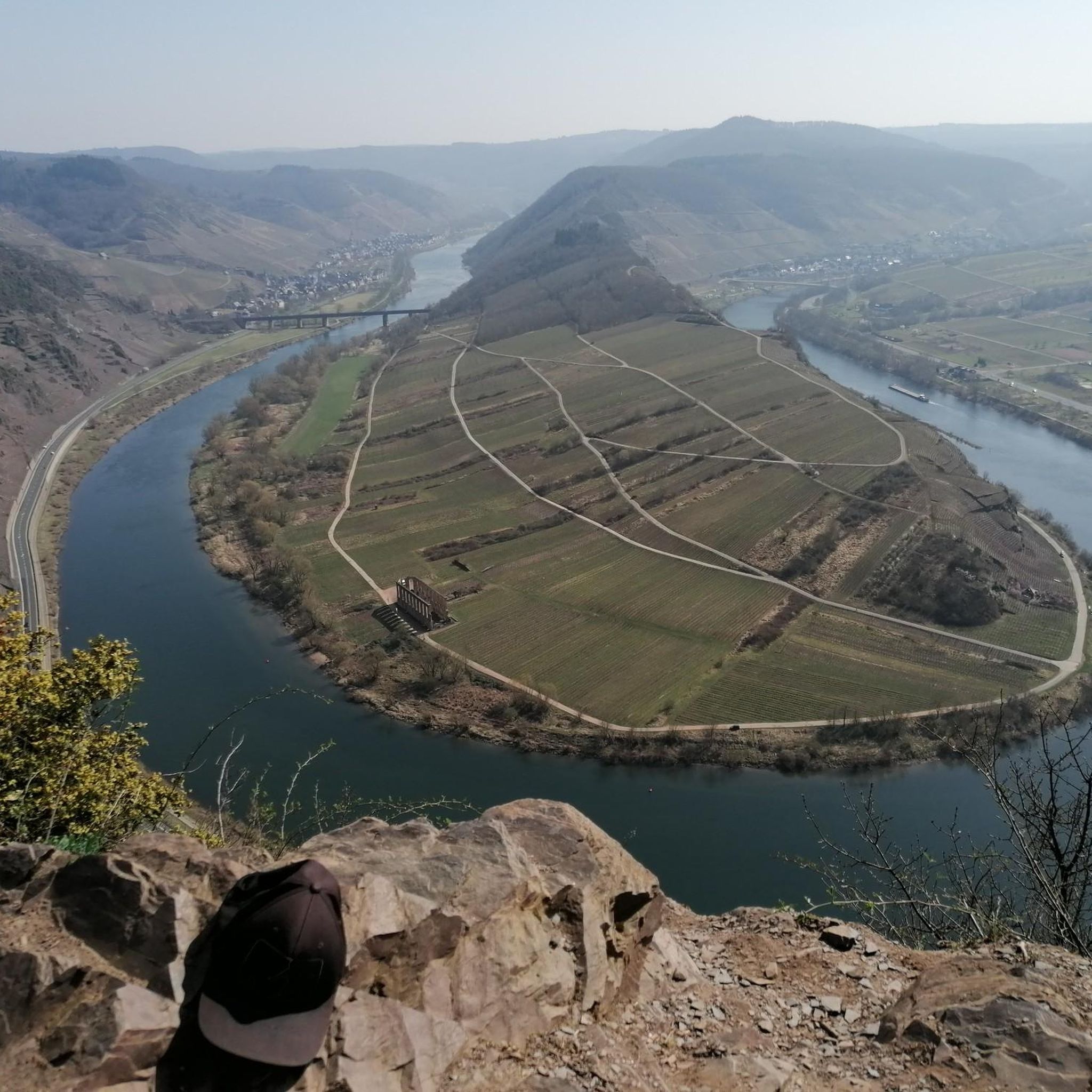
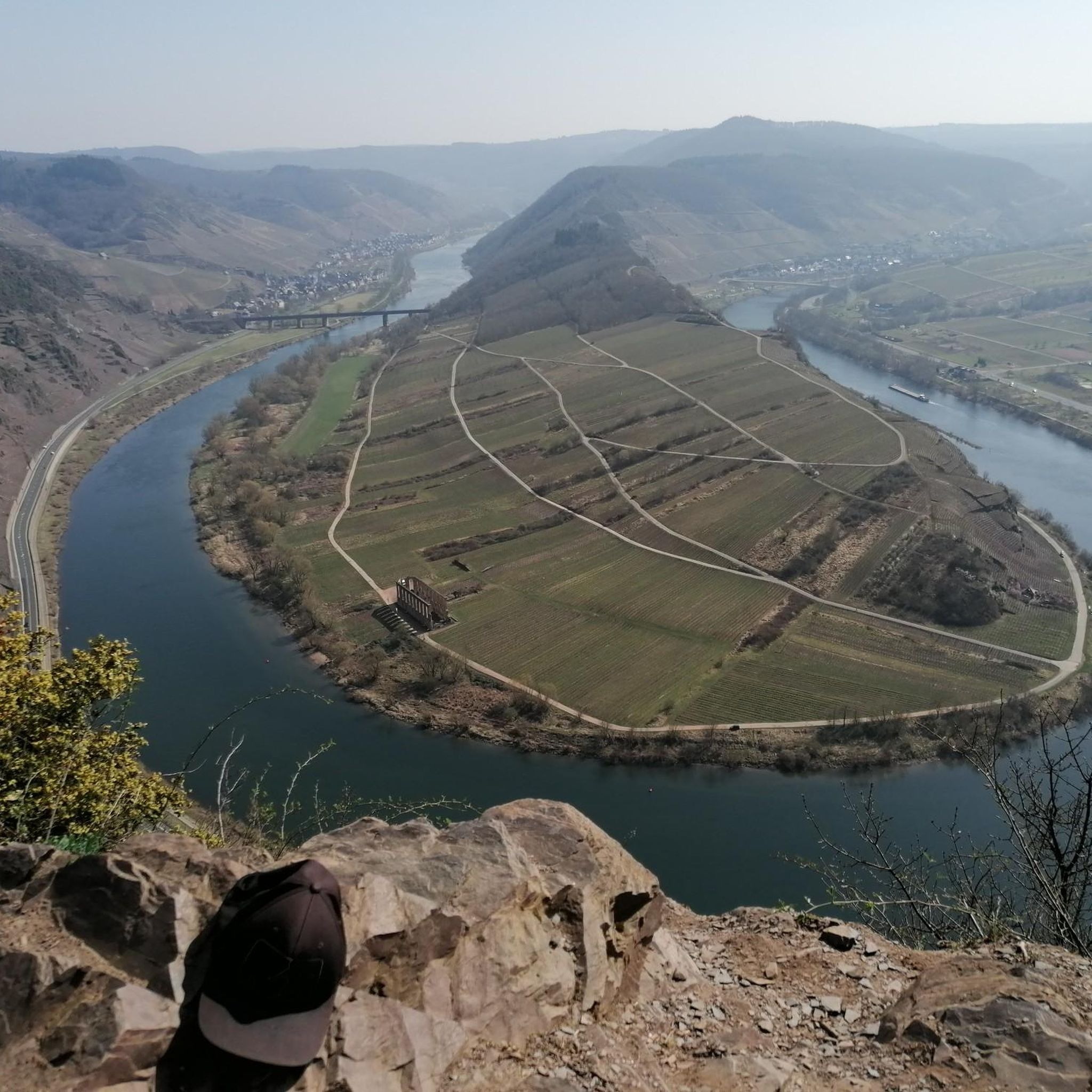
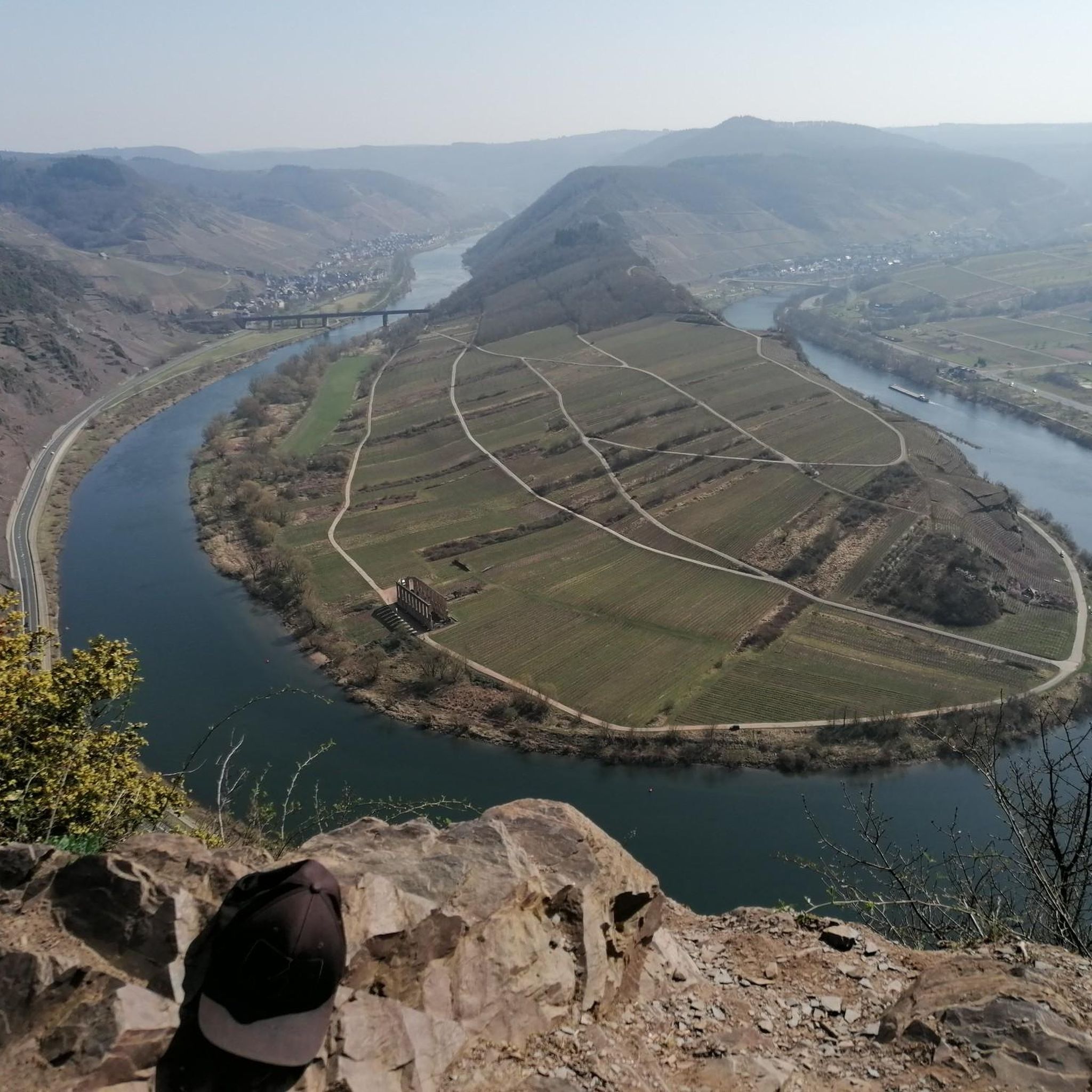
Zell (Mosel) is a town in the Zeller Hamm (Mosel loop) and is located in the district of Cochem-Zell in Rhineland-Palatinate. It is the administrative seat of the Verbandsgemeinde of Zell, to which it also belongs. Zell is a state-recognized resort and, according to state planning, is a medium-sized center
12
0

Welcome to Calmont (hot mountain), the steepest vineyard in Europe, where the queen of the vines grows, the classy, fine Riesling, produced in clean air by hand. Grown under the most favorable climatic conditions using an optimal angle of inclination to the sun & shaped by slate rich in essential minerals. Riesling, slate, sun - they shape the Calmont wine. This naturally produced specialty should be tasted at the winegrowers who grow here. Numerous hiking trails and also the via ferrata lead through the Calmont. Here you can enjoy wonderful views of the crystal, glittering Moselle, the winding Moselle valley, the Eifel and the Hunsrück. Rare animals such as the green lizard, wall lizard, smooth snake, Apollo butterfly, sail butterfly and zippammer can be found here. Peregrine falcon, buzzard and red kite circle in the sky. Rare plants such as blue lettuce, houseleek, wine rose, golden aster, rock gold star and boxwood have their habitat here. The Calmont was formed in the Devonian Age 400 million years ago. Excavations on the Calmont show that man lived here more than 2000 years ago and that viticulture was very important. Source: Text information board
20
2
모리츠하임 주변에서 가장 인기 있는 명소


더 살펴보기
찾고 있는 하이라이트를 아직 못 찾으셨나요? 다른 지역의 주요 명소 가이드를 확인해보세요:
